
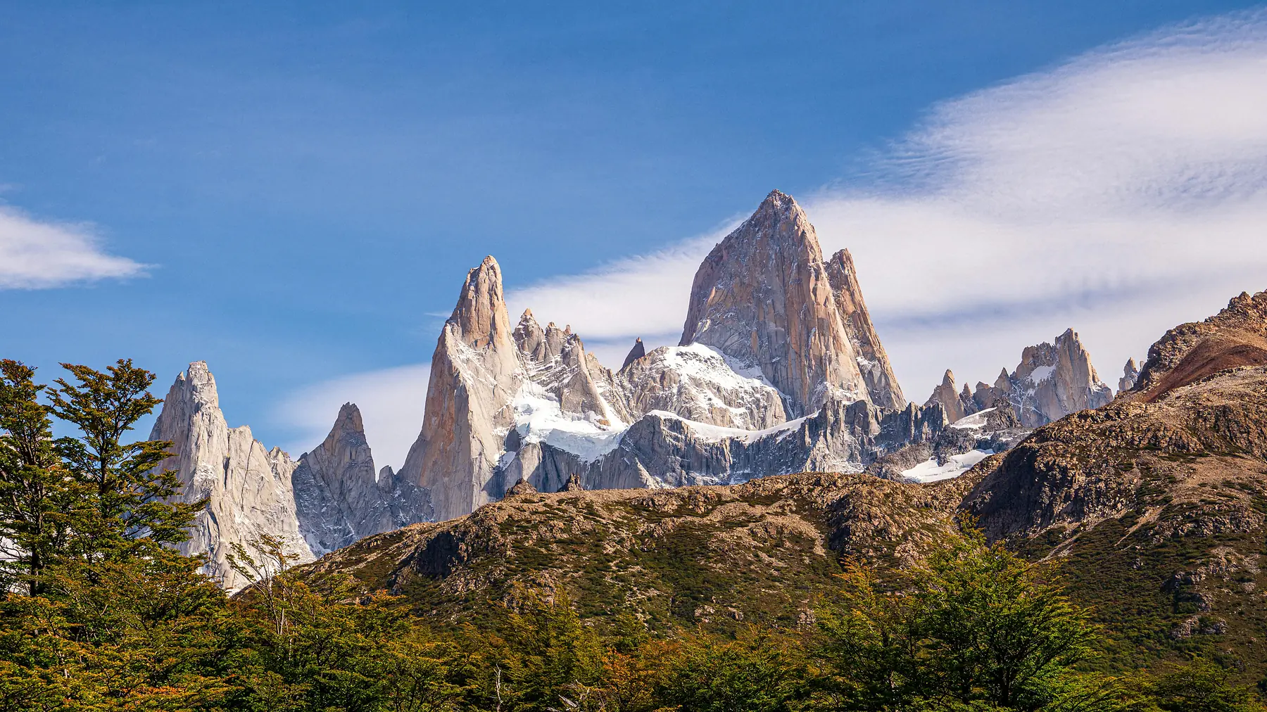
The most important thing to know about an El Chaltén map is that the village serves as the trailhead for almost every major hike in the northern sector of Los Glaciares National Park. Unlike most mountain destinations where you need a shuttle or a car to reach the wilderness, El Chaltén is a “walk-in, walk-out” trekking hub where the town grid ends and the national park begins.
Because cell service in the region is notoriously unreliable and disappears entirely the moment you leave the village limits, having a functional navigation strategy is essential. This guide provides an interactive master map for your planning phase, a logistical layout of the town’s essential services, and specific instructions for maintaining GPS navigation while offline on the trails.
Interactive El Chaltén Master Map
This interactive tool is designed to help you visualize the relationship between the village and the surrounding peaks. It includes layers for major trailheads, essential town services like the bus station and ATMs, and the primary viewpoints that define the skyline.
To use this map effectively, you can toggle the layers in the sidebar to focus specifically on “Town Services” or “Hiking Routes.” The map distinguishes between the two primary trekking sectors - the northern sector leading toward Monte Fitz Roy and the western sector heading toward Cerro Torre.
- Laguna de los Tres Trailhead: 49°19’13.4”S 72°53’11.0”W
- Terminal de Omnibus: 49°20’09.6”S 72°53’05.6”W
How to Use These Maps Offline (Critical Advice)
You should assume that you will have zero data connectivity once you are more than 500 meters from the town center. While El Chaltén has seen improvements in Wi-Fi within hotels, 4G signals remain congested and 5G is not currently available in the village as of the 2026/27 season.
To ensure you can navigate safely, you must download your maps for offline use before you arrive in the village. This is especially important for the final, steep ascent to Laguna de los Tres, where the trail can become obscured by snow or loose scree.
Download Google Maps for Town Use
Open the Google Maps app on your phone while you still have a strong connection. Search for “El Chaltén,” tap the name at the bottom of the screen, and select “Download.” This will allow you to find restaurants, pharmacies, and your hotel even without a signal.
Install a Dedicated Hiking App
Google Maps is insufficient for the trails. Download an app that uses topographic layers, such as Gaia GPS, AllTrails, or Maps.me. Maps.me is particularly popular in Patagonia because its OpenStreetMap (OSM) data often includes smaller, unofficial social trails that other maps miss.
Cache the Topographic Layers
In your chosen hiking app, manually scroll over the El Chaltén region at a high zoom level while on Wi-Fi. This caches the detailed contour lines and elevation data to your device’s local storage.
If you prefer a physical backup, you can purchase high-quality, waterproof topographic maps (1:50,000 scale) at the “La Brecha” bookstore or various outdoor gear shops like Viento Oeste on Avenida San Martín. These are far more reliable than a phone battery in the cold Patagonian wind.
El Chaltén Town Layout & Essential Services Map
The layout of El Chaltén is a simple L-shape, bordered by the Río de las Vueltas to the east and the Fitz Roy river to the south. The primary artery is Avenida San Martín, which runs the entire length of the town from the entrance bridge to the northern trailheads.
Navigating the town is straightforward, but certain “survival” services are tucked away. The National Park Visitors Centre (Centro de Visitantes Guardaparque Ceferino Fonzo) is located across the bridge at the very entrance of town. This is a mandatory stop for anyone planning the Huemul Circuit or looking for the most current trail condition reports from the rangers.
El Chaltén Logistics At-a-Glance
- Main Street: Avenida San Martín (contains most restaurants and gear shops)
- Bus Station: Terminal de Omnibus, located at the southern edge of town
- ATM 1: Banco de Santa Cruz (Avenida San Martín & Güemes)
- ATM 2: Red Link (Inside the Bus Terminal)
- Medical: Posta Sanitaria (Avenida Güemes)
- Pharmacy: Farmacia Chaltén (Avenida San Martín)
Cash is a persistent issue in El Chaltén. The two ATM locations frequently run out of bills, especially during the peak months of January and February. Use the map to locate the Banco de Santa Cruz, but plan to arrive with enough Argentine Pesos to cover small expenses, as the “system is down” is a common refrain for credit card machines in smaller bakeries and hostels.
Note on Park Fees: As of the 2024/25 season, Los Glaciares National Park has implemented an entrance fee for the El Chaltén sector. You can pay this at the Visitor Centre or at the main trailheads.
To understand how the town’s layout impacts your choice of lodging, you can view our detailed neighborhood breakdown:
Hiking Trailheads & Route Map
The beauty of El Chaltén is that you can walk from your breakfast table directly onto a world-class trail. There are four primary “exit points” from the town grid that lead into the national park.
The North End marks the start of the most famous route: the trail to Laguna de los Tres (Fitz Roy). You simply walk to the very end of Avenida San Martín, where the pavement turns into a dirt path at the trailhead parking lot. To the West, at the end of Calle Los Charitos, you will find the entrance to the Laguna Torre trail, which follows the Fitz Roy river upstream.
The Southern End, near the National Park Visitors Centre, hosts the trailheads for the Los Cóndores and Las Águilas viewpoints. This is also the starting point for the Loma del Pliegue Tumbado hike, which offers the best panoramic “map-like” view of the entire mountain range.
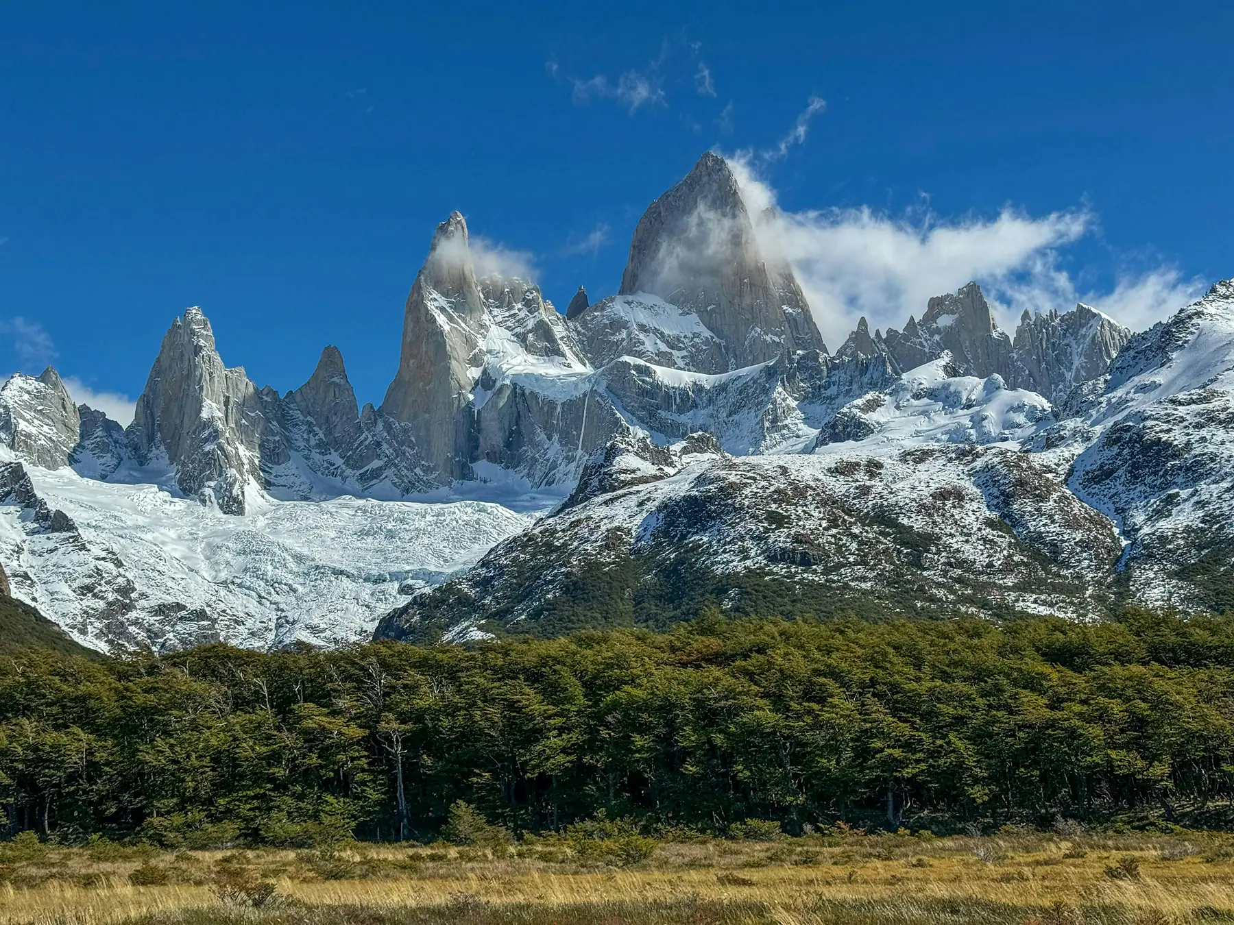
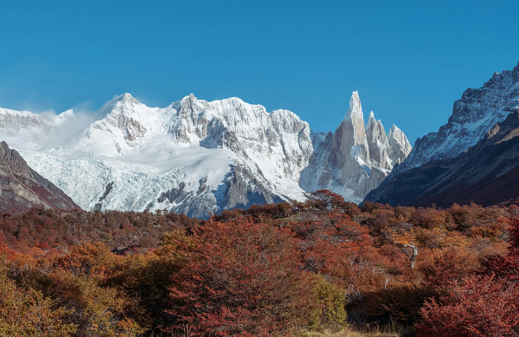
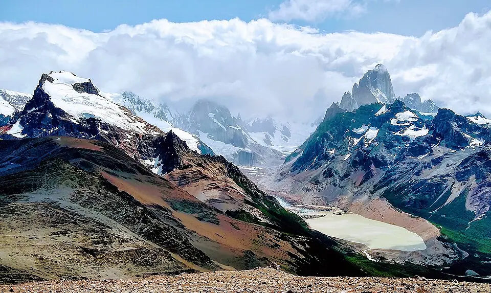
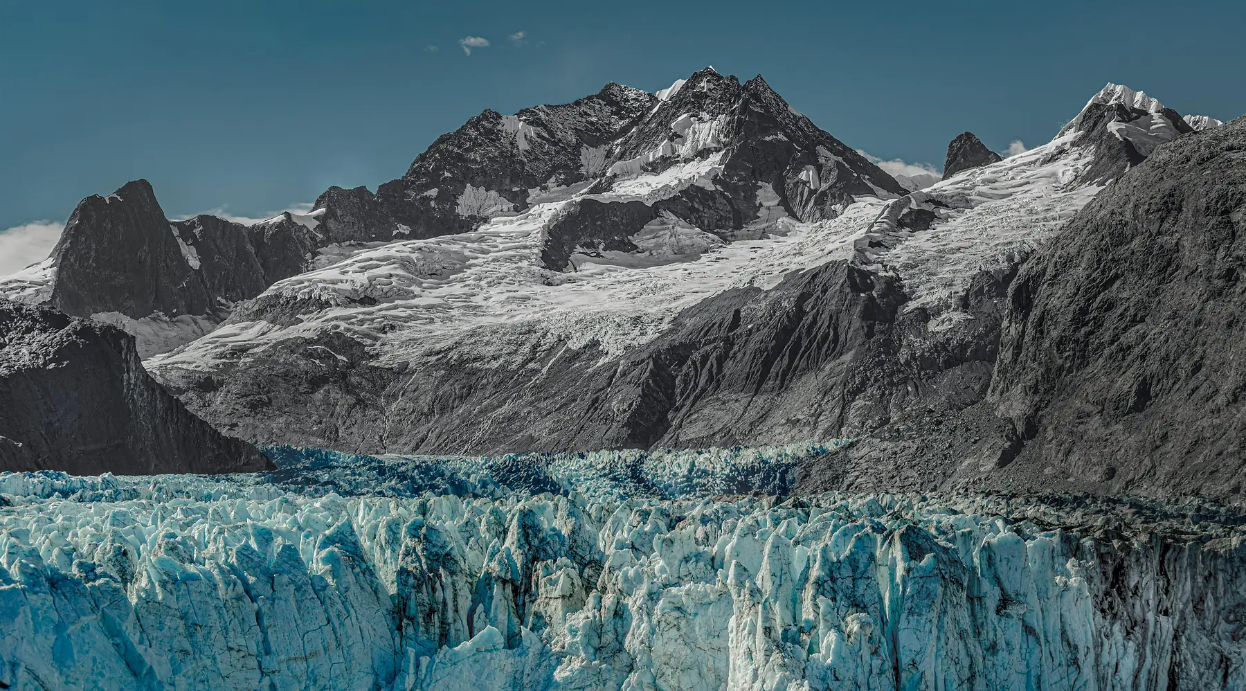
For trails further afield, you will need to follow the RP 41 (Route 41), also known as the road to Lago del Desierto. This gravel road leads to the Chorrillo del Salto waterfall and the private reserve of Piedra del Fraile. The trailhead for Piedra del Fraile is located approximately 16km north of town at the Río Eléctrico bridge.
Topographic & Elevation Map Context
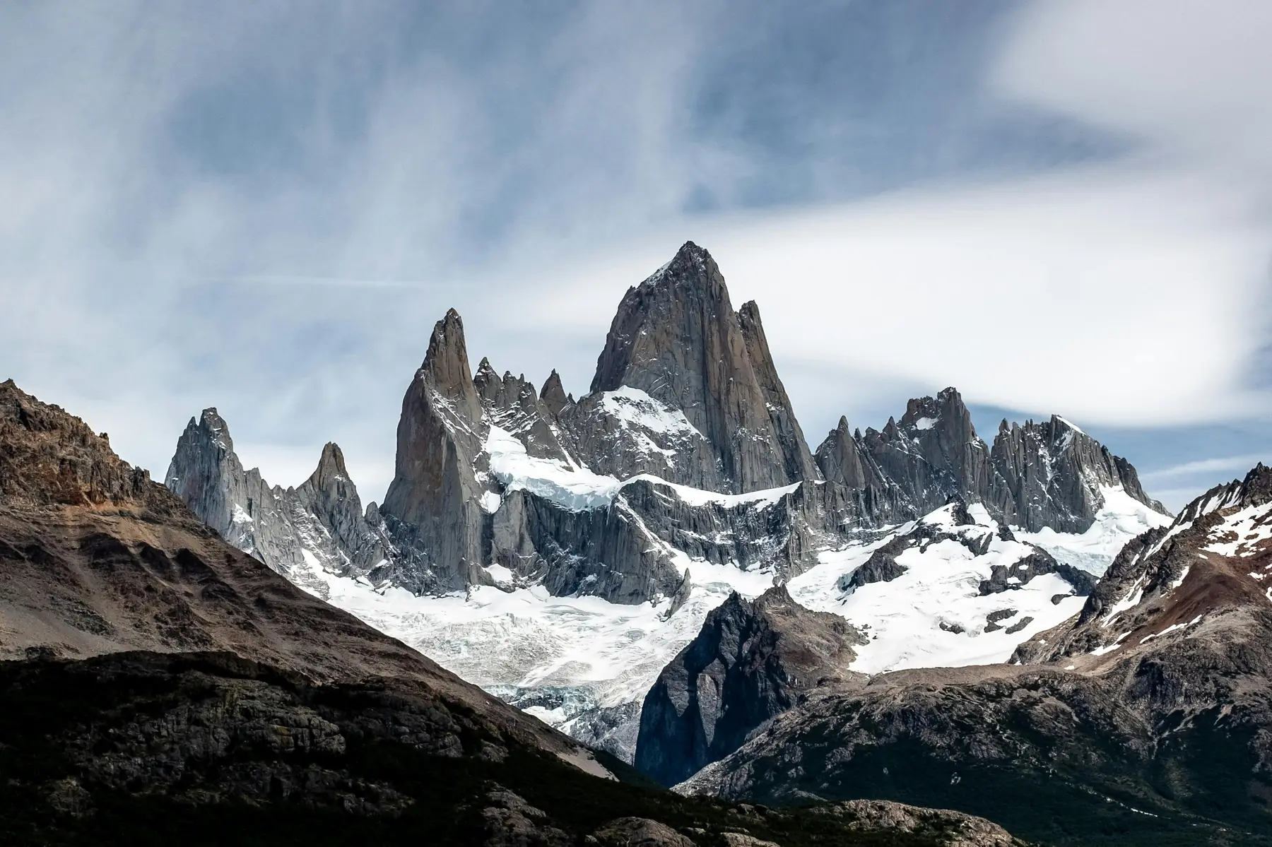
Understanding the verticality of El Chaltén is just as important as knowing the horizontal distances. The village sits in a glacial valley at an elevation of approximately 400 meters. The peaks that dominate the skyline, however, rise to over 3,400 meters.
Most trails start with a moderate climb to exit the “bowl” of the town valley. Once you are up on the plateau, the trails are relatively flat as they wind through lenga forests and past glacial lagoons. The major exception is the “Wall of Fitz Roy” - the final kilometer of the trail to Laguna de los Tres.
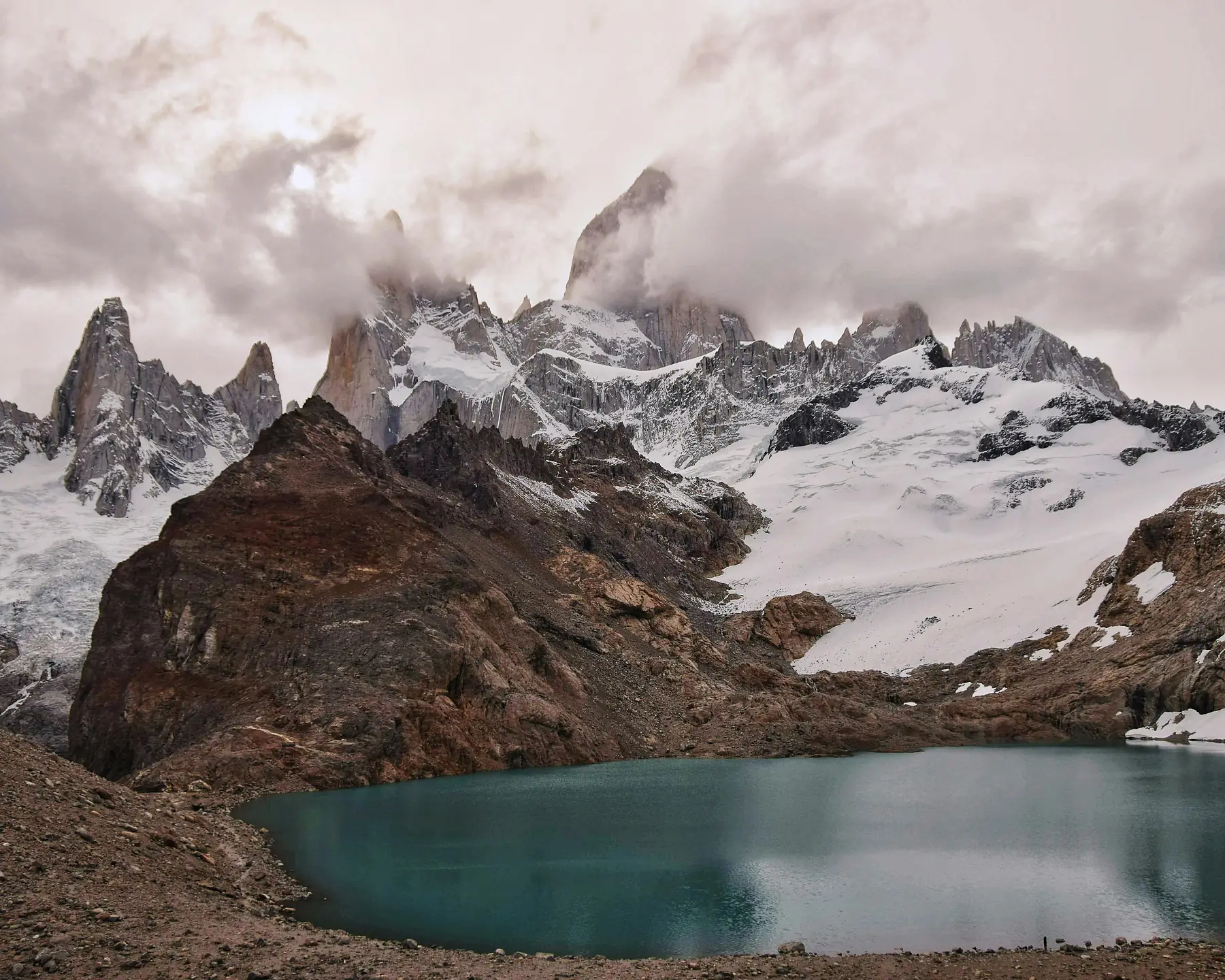
On a topographic map, you will notice the contour lines are extremely tight in this final section. You will gain roughly 400 meters of elevation in just over one kilometer of distance. This is a significant ascent that requires steady footing and an awareness of the weather, as the temperature at the lagoon is typically 5-10 degrees Celsius colder than in the town center.
Regional Map: El Chaltén in Los Glaciares National Park
El Chaltén is located in the northern finger of Los Glaciares National Park, roughly 215 kilometers north of El Calafate. The town is bordered to the west by the Southern Patagonian Ice Field, one of the largest non-polar ice masses in the world.
The regional map is dominated by three major water bodies - Lago Viedma to the south, Lago Argentino further south near El Calafate, and Lago del Desierto to the north. Most travelers arrive via the iconic Route 23, which offers the famous “straight-line” view of the Fitz Roy massif as you approach the town.
If you are planning the journey between the two main hubs of the park, our transport guide provides the specific logistics for the bus and driving routes:
FAQ
- QUESTION: “Is there a physical map of El Chaltén available in town?”
- ANSWER: Yes, you can purchase high-quality topographic maps at the “La Brecha” bookstore or various outdoor gear shops along Avenida San Martín.
- QUESTION: “Can I use Google Maps for hiking in El Chaltén?”
- ANSWER: While Google Maps works for town navigation, it lacks topographic detail and trail accuracy; it is highly recommended to use a dedicated hiking app like Gaia GPS or Maps.me with offline layers.
- QUESTION: “Where is the main trailhead for Fitz Roy on the El Chaltén map?”
- ANSWER: The trailhead for Fitz Roy (Laguna de los Tres) is located at the northern end of town, at the very end of Avenida San Martín.
- QUESTION: “Are the El Chaltén trailheads within walking distance of the hotels?”
- ANSWER: Yes, one of the best features of El Chaltén is that all major trailheads are located on the edge of the village and are easily reachable on foot from any accommodation.
- QUESTION: “Where are the ATMs located on the El Chaltén town map?”
- ANSWER: There are two main ATM locations: one at the Banco de Santa Cruz on the corner of San Martín and Güemes, and another inside the Bus Terminal, though they frequently run out of cash.
- QUESTION: “Does the El Chaltén map show the way to the Los Cóndores viewpoint?”
- ANSWER: Yes, the trailhead for Los Cóndores and Las Águilas is located across the bridge at the southern entrance of town, near the Guardaparque office.