
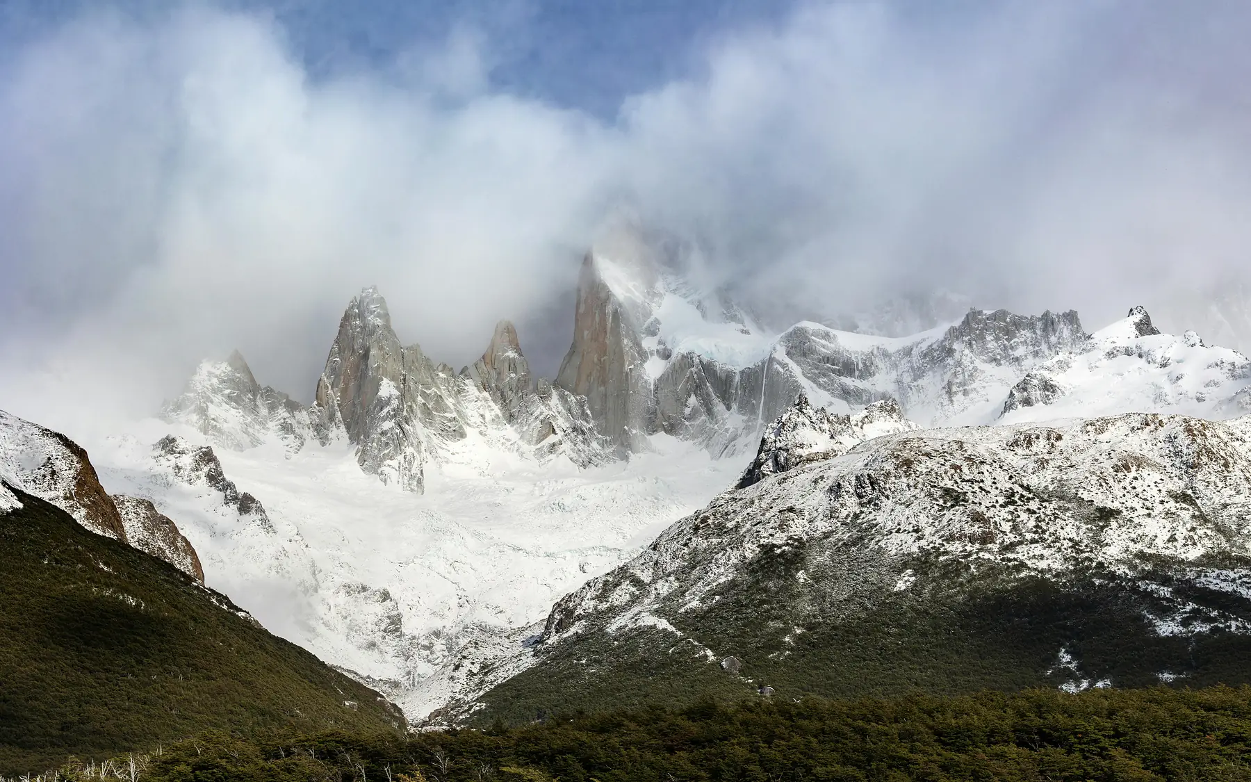
Weather in El Chaltén is defined by its extreme unpredictability, where conditions often cycle through “four seasons in one day” regardless of the time of year. While the town itself sits in a relatively sheltered valley, the surrounding peaks of the Los Glaciares National Park follow a distinct high-alpine climate where wind speeds and temperatures can change within minutes.
Understanding these patterns is the difference between a successful trek to Laguna de los Tres and a day spent waiting out a storm in a tent. This guide breaks down the technical climate data, microclimates, and seasonal shifts you need to plan a safe and informed trip to Argentina’s trekking capital.
El Chaltén Climate at a Glance
- Peak Hiking Season: October to April
- Warmest Months: January and February (18°C - 20°C highs)
- Windiest Period: November to January (gusts often exceed 80 km/h)
- Daylight Max: 16 hours and 26 minutes in late December
- Primary Forecast Tools: Windguru and YR.no
Understanding El Chaltén’s Microclimates: Town vs. Trail
One of the most common mistakes travelers make is trusting the forecast they see on their phone while standing in the town center. El Chaltén sits at an elevation of approximately 400 meters, nestled in a valley that offers significant protection from the prevailing winds. However, as soon as you gain elevation on the trails, the environment shifts.
The region sits in a “Rain Shadow” on the eastern edge of the Southern Patagonian Ice Field. Most of the moisture coming off the Pacific Ocean is dumped on the Chilean side of the Andes, meaning El Chaltén is significantly drier than places like Torres del Paine. However, the temperature follows a strict lapse rate. For every 100 meters of elevation gain, expect the temperature to drop by roughly 0.6°C to 1°C.
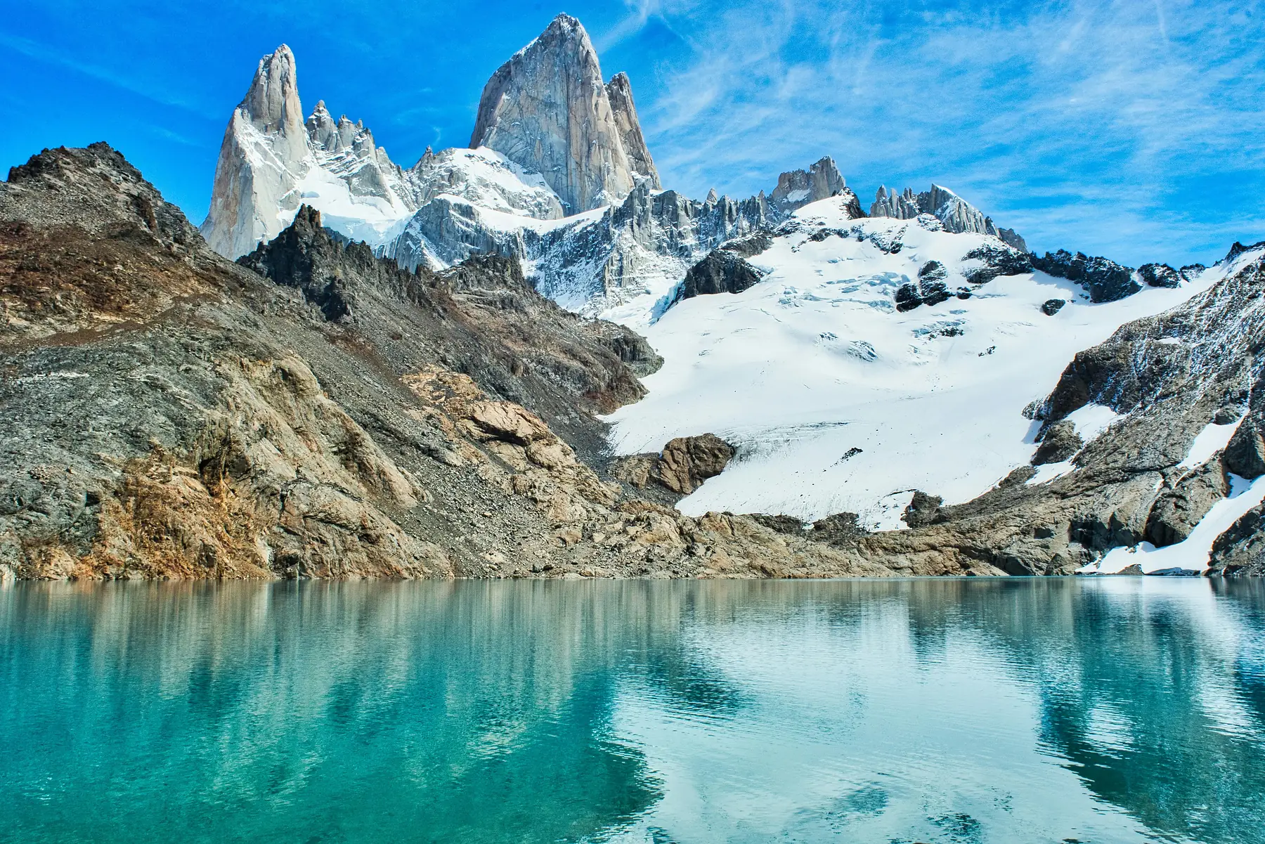
By the time you reach Laguna de los Tres (1,170 meters), it is frequently 5°C to 7°C colder than the town. On the high passes of the Huemul Circuit, which exceed 1,500 meters, you are effectively in a different climate zone where freezing temperatures are possible even in mid-summer.
The Wind: El Chaltén’s Defining Weather Feature
If Patagonia had a signature, it would be the wind. Known as the “Westerlies,” these air masses pick up speed across the Southern Patagonian Ice Field and are funneled through the Fitz Roy and Viedma valleys. The wind is most persistent during the spring and summer months (October through March), coinciding exactly with the peak trekking season.
For hikers, understanding wind speed thresholds is a matter of safety:
- 0 - 40 km/h: Ideal hiking conditions.
- 40 - 70 km/h: Difficult walking. You will feel the wind pushing against your pack, and dust will be kicked up in the valleys.
- 70 - 100 km/h: Potentially dangerous on exposed ridges. At these speeds, the wind can knock a grown adult off balance.
- 100 km/h+: Stay off the trails. Rangers may close certain sections of the park, and the risk of falling or being hit by debris is high.
Seasonal Temperature and Daylight Breakdown
The amount of usable daylight in El Chaltén changes dramatically throughout the year, which dictates how much ground you can safely cover in a day.
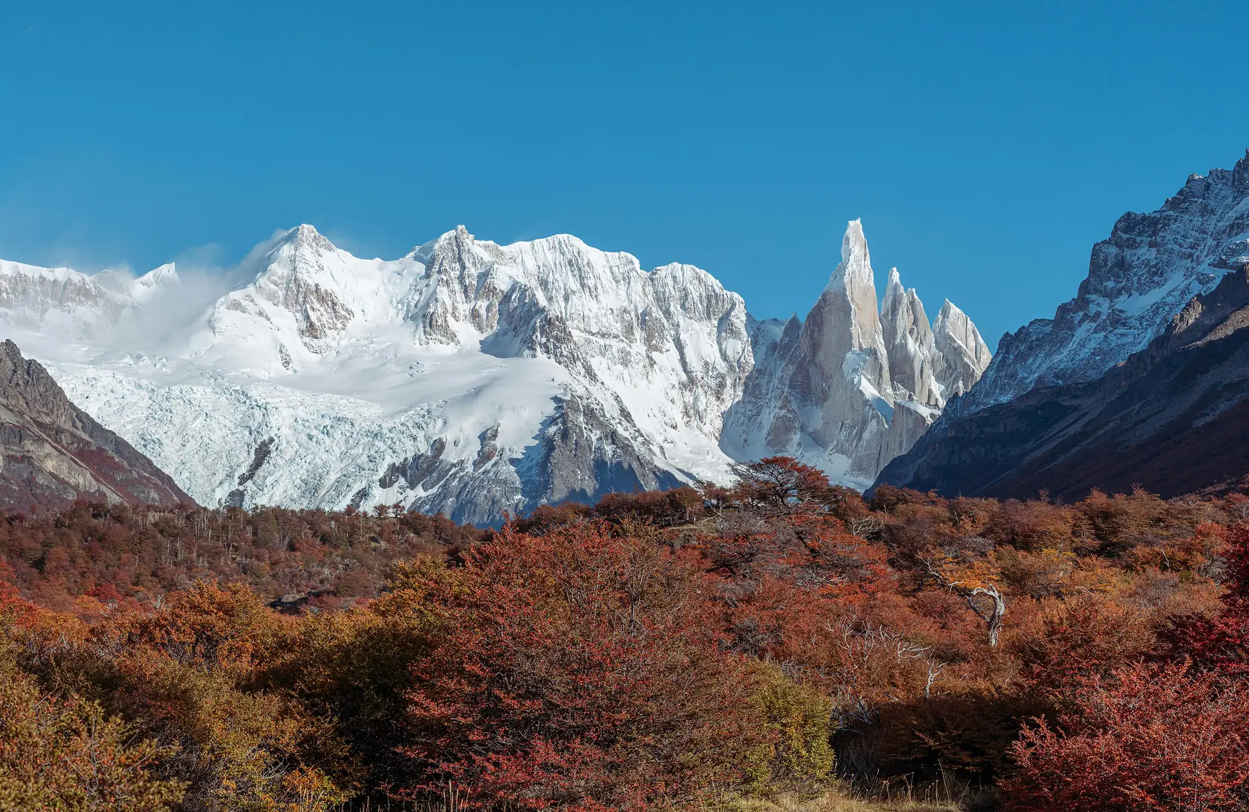
In the height of summer (December and January), the sun rises as early as 05:40 and doesn’t set until approximately 22:05. This 16-hour window allows for massive day hikes, like the 22km return trip to Fitz Roy, without the need for a headlamp. Temperatures during this time are the warmest of the year, with daytime highs reaching 18°C to 20°C, though night-time lows in the mountains still hover near 5°C.
During the shoulder seasons of October - November and March - April, the days shorten to 12 - 13 hours. While the temperatures are cooler, these months often see a decrease in the relentless summer winds. By the time winter arrives in June and July, daylight shrinks to just 8 hours (with sunrise near 09:50 and sunset near 17:45), and many trails become impassable without specialized snow gear as temperatures stay consistently below freezing.
Precipitation: Rain, Snow, and Humidity
El Chaltén is an arid environment compared to the lush rainforests of the Chilean fjords. The annual rainfall is relatively low, but it is distributed fairly evenly across the months. You should never expect a “dry” trip; instead, expect short, sharp bursts of rain followed by rapid clearing.
Snow is a constant possibility at higher elevations. It is not uncommon for trekkers to start a hike in shorts in the town and encounter a localized snowstorm at the base of Fitz Roy in January. Because the air is generally dry, humidity levels are low. This can be deceptive; the dry air causes sweat to evaporate quickly, which can lead to rapid cooling (the “chill factor”) and increased hydration needs.
Solar Radiation and UV Safety at Latitude 49°S
At 49°S latitude, the sun is far more dangerous than the ambient temperature suggests. Because of the thinning of the ozone layer over the southern pole and the exceptionally clear, unpolluted air, UV radiation levels in El Chaltén frequently reach the “Extreme” category (11+) during summer.
The risk is compounded by reflection. If you are hiking near Glaciar Piedras Blancas or crossing the snowfields on the Huemul Circuit, the sun reflects off the white surfaces, hitting you from below. Even on overcast days, up to 80% of UV rays penetrate the cloud cover.
To stay protected, you need a technical layering system that includes high-UPF clothing. For a full breakdown of the clothing required to handle both the sun and the wind, see our Patagonia layering guide.
How Weather Affects the Fitz Roy and Cerro Torre Trails
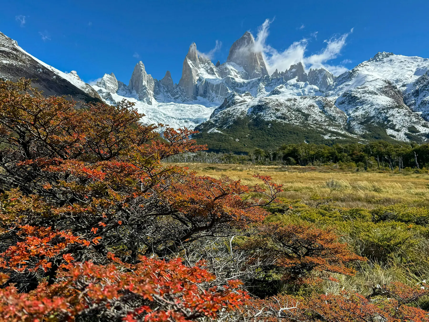
The two most famous views in the region - the granite spires of Fitz Roy and the needle of Cerro Torre - are also the most weather-dependent. A phenomenon known as the “Fitz Roy Cloud” often sees the peaks shrouded in a thick cap of moisture even when the rest of the sky is perfectly blue.
For the best chance of visibility, most photographers and experienced hikers aim for the first light of dawn. The wind is typically at its lowest point in the early morning, and the clouds often haven’t had a chance to build up from the day’s warming.
If the forecast shows high cloud cover, consider your trail choice carefully. The hike to Loma del Pliegue Tumbado offers the most spectacular 360-degree panorama in the park, but if the ceiling is low, you will spend eight hours hiking for a view of a white wall. On such days, the lower-elevation Laguna Torre trail is a better alternative, as the glacier and lake are often visible even when the peaks are hidden.
Weather Considerations for the Huemul Circuit
The Huemul Circuit is the most technically demanding trek in El Chaltén, and its feasibility is entirely dictated by the weather. The crux of the trek is Paso del Viento (Pass of the Wind), which acts as a literal funnel for air moving off the Southern Patagonian Ice Field.
Crossing this pass in winds exceeding 60-70 km/h is not recommended. The terrain is steep, loose, and highly exposed. Before departing, you must check the multi-day forecast at the Los Glaciares National Park office. If a major front is moving in, it is common for rangers to advise against starting the circuit.
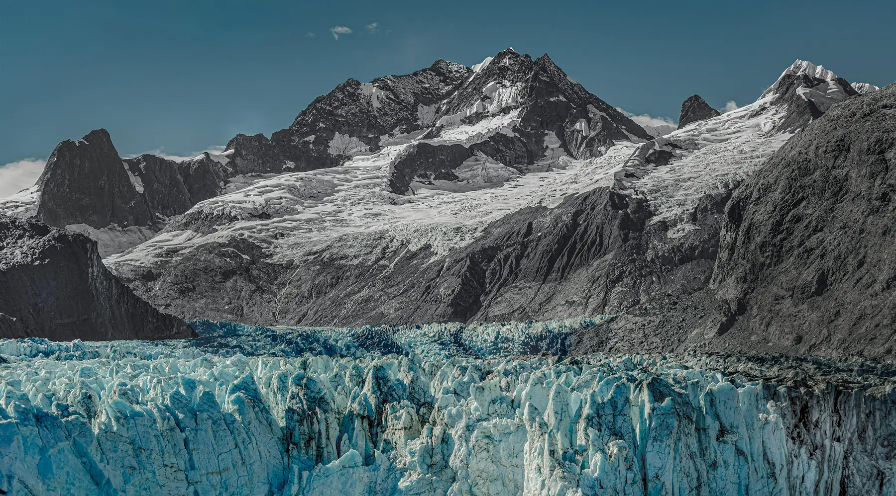
El Chaltén Weather Month-by-Month Reference
Data based on historical averages as of the 2024/25 season.
January & February
- Average High: 19°C (66°F)
- Average Low: 7°C (45°F)
- Daylight: 14 - 16 hours
- Conditions: Peak summer. The warmest temperatures but also the highest probability of sustained high winds.
March & April
- Average High: 13°C (55°F)
- Average Low: 3°C (37°F)
- Daylight: 11 - 13 hours
- Conditions: Autumn transition. Wind speeds begin to drop significantly, and the air is often very still, making this the best time for lake reflections. Nights begin to freeze.
May & June
- Average High: 6°C (43°F)
- Average Low: -1°C (30°F)
- Daylight: 8 - 9 hours
- Conditions: Early winter. First major snowfalls usually arrive, and many tourist services begin to close.
July & August
- Average High: 5°C (41°F)
- Average Low: -3°C (27°F)
- Daylight: 9 - 10 hours
- Conditions: Deep winter. Trails are often snow-covered or icy. This is the domain of specialized winter trekking and snowshoeing.
September & October
- Average High: 12°C (54°F)
- Average Low: 2°C (36°F)
- Daylight: 12 - 14 hours
- Conditions: Spring thaw. Weather is highly erratic with sudden wind spikes as the atmosphere warms up.
November & December
- Average High: 17°C (63°F)
- Average Low: 6°C (43°F)
- Daylight: 15 - 16 hours
- Conditions: Pre-summer. Rapidly increasing daylight and rising temperatures, though this is often the start of the windiest three-month cycle.
FAQ
-
QUESTION: How cold does it get in El Chaltén during the summer?
-
ANSWER: Summer (December–February) temperatures typically range from 7°C (45°F) at night to 19°C (66°F) during the day, though wind chill can make it feel significantly colder.
-
QUESTION: What is the windiest month in El Chaltén?
-
ANSWER: December and January are historically the windiest months in El Chaltén, with frequent gusts exceeding 80km/h (50mph).
-
QUESTION: Does it snow in El Chaltén during the summer?
-
ANSWER: While rare in the town, it is common for snow to fall at higher elevations like Laguna de los Tres or the Huemul Circuit passes during the summer months.
-
QUESTION: Is the weather in El Chaltén different from El Calafate?
-
ANSWER: Yes, El Chaltén is closer to the mountains and typically receives more wind and precipitation than the more sheltered El Calafate.
-
QUESTION: When is the best visibility for seeing Mount Fitz Roy?
-
ANSWER: Visibility is highest in the early morning; however, the shoulder months of March and April often provide clearer, less windy days for seeing the Fitz Roy peaks.
-
QUESTION: What is the rain season in El Chaltén?
-
ANSWER: El Chaltén does not have a distinct monsoon-style rain season, but late autumn (April and May) generally sees higher precipitation and the onset of winter snow.