
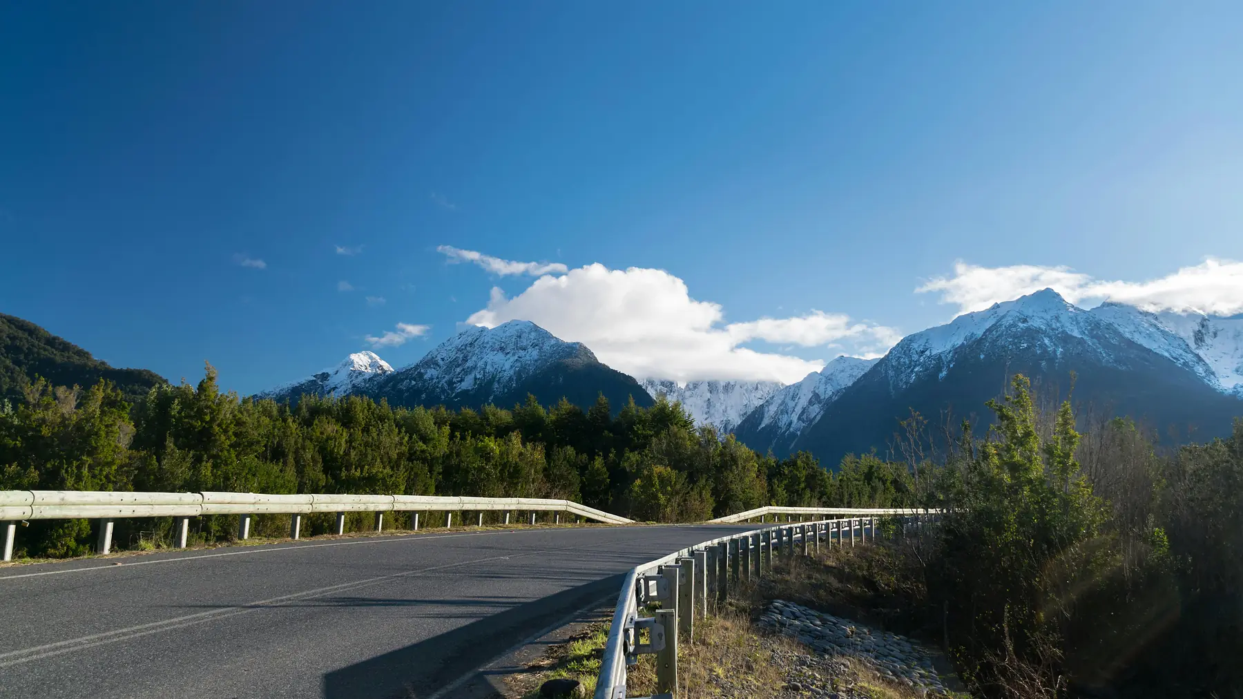
The best hikes on the Carretera Austral are the Ventisquero Colgante (Hanging Glacier) in Queulat National Park, the Laguna Castillo day hike near Villa Cerro Castillo, and the Lagunas Altas loop in Patagonia National Park. While the Route 7 highway is famous as a road trip destination, the real magic of the region is found on the trails that branch off into temperate rainforests, over hanging glaciers, and across restored Patagonian steppe.
Hiking here is distinct from the granite towers of Torres del Paine or the spires of El Chaltén. The Carretera Austral offers a more rugged, less crowded experience where the primary challenge isn’t just the elevation, but the unpredictable weather and the sheer scale of the wilderness. To see the best of it, you will need a sturdy pair of waterproof boots and a flexible itinerary that allows for “rain days” in one of the world’s wettest environments.
Carretera Austral Hiking at a Glance
- Total Route Length: 1,240 kilometres (770 miles) from Puerto Montt to Villa O’Higgins.
- Best Hiking Window: November to March (Peak summer).
- Primary Terrain: Temperate rainforest, glacial moraine, alpine tundra, and steppe.
- Top Three Trails: Ventisquero Colgante, Laguna Castillo, Lagunas Altas.
- Essential Gear: High-quality Gore-Tex shell (20,000mm+), trekking poles, and offline GPS maps.
Sendero Ventisquero Colgante: The Hanging Glacier of Queulat
The most iconic image of the northern Carretera Austral is the Hanging Glacier in Queulat National Park, where a massive tongue of ice clings to a cliff edge, calving into a milky blue lagoon hundreds of metres below. The trail to the main viewpoint is the Sendero Ventisquero Colgante (also known as the Morrena trail), a 6km round trip that climbs through a dense, moss-draped “enchanted forest” typical of the Aysén region.
The hike is moderate but can be slippery due to the constant humidity and frequent rainfall. You will gain approximately 300m of elevation as you navigate exposed roots and wooden boardwalks. The payoff at the end is a front-row seat to the glacier. If you time your visit after a heavy rain or during a warm afternoon, you are likely to hear the thunderous roar of ice breaking away and see waterfalls plunging from the glacier’s snout.
To reach the trailhead, you must enter Queulat National Park, located about 20km south of Puyuhuapi. As of the 2026/27 season, entrance fees for international adults are approximately 11,400 CLP (~$12 USD). There is a daily limit on visitors (typically 500 per day), and you must arrive early; access to the main Hanging Glacier trail often closes at 1:30 PM to ensure hikers return before the park gates shut at 4:30 PM.
Laguna Castillo: The “Mini - Fitz Roy” of Aysén
If you only have time for one strenuous day hike, it should be the climb to Laguna Castillo. Located just outside the village of Villa Cerro Castillo, this trail leads to a glacial lagoon sitting at the base of a jagged basalt massif that rivals the beauty of the more famous peaks in the south. Unlike the lush forests of Queulat, the terrain here is alpine and exposed, offering sweeping views of the Ibáñez River valley.
The hike is a demanding 13 - 14km round trip with roughly 1,100m of vertical gain. The final section involves a steep scramble over loose scree (small rocks), which can be particularly challenging in high winds. Once you reach the ridge, the turquoise water of the lagoon appears suddenly against the dark, tooth-like spires of the mountain.
The weather at the Laguna Castillo lookout can be significantly more extreme than in the village below. Sustained winds of 70 - 80 km/h are common on the ridge, and snow can fall even in mid-summer. Always check the forecast before starting the final ascent.
There are two main ways to access the lagoon - the traditional day hike trail (often called the Sendero de Chile or Laguna Viewpoint trail) which is a direct up-and-back route, or as part of the multi-day Cerro Castillo Trek (Las Horquetas). For most day hikers, the direct route from the village is the best option, though it requires a steep, relentless climb from the start.
Patagonia National Park: The Lagunas Altas Loop
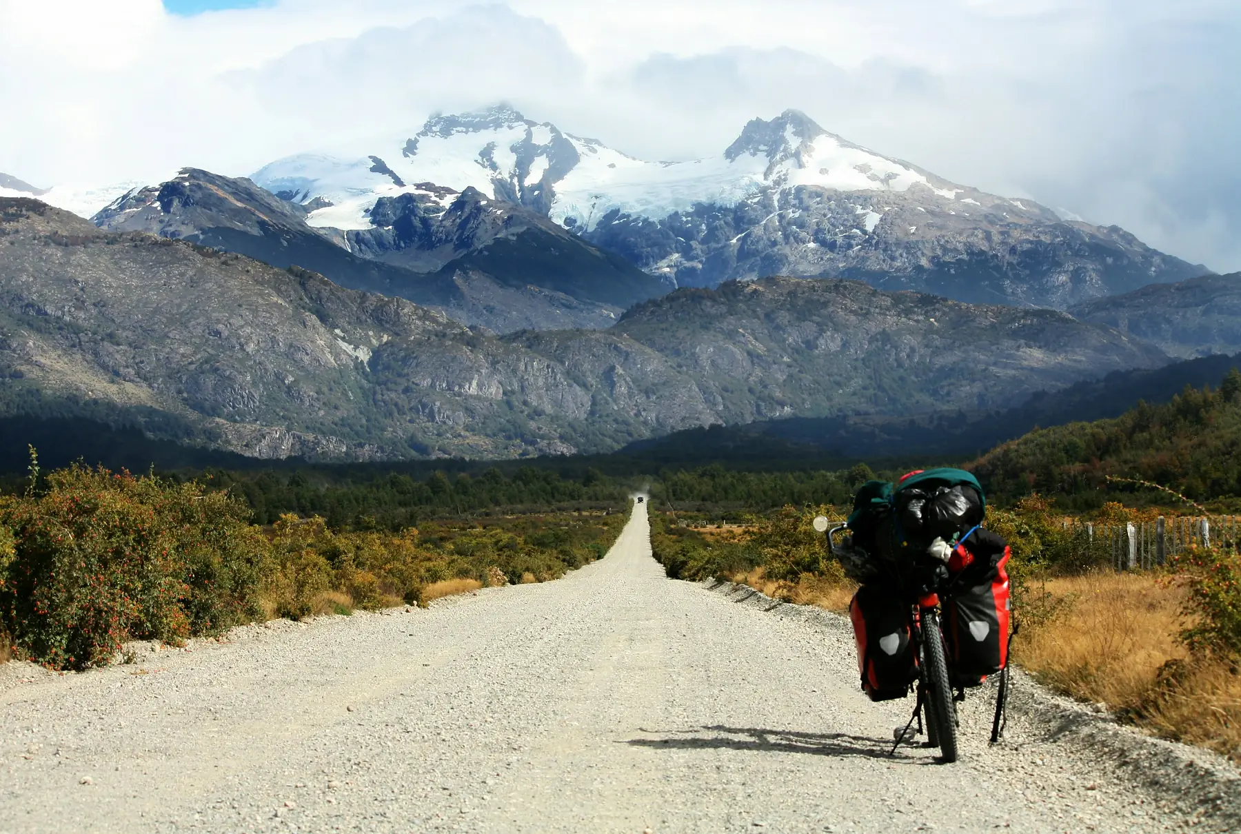
South of Cochrane lies Patagonia National Park, a testament to large-scale land restoration led by the late Douglas Tompkins. The premier hike here is the Lagunas Altas trail, a 23km loop that transitions from the golden grasslands of the Chacabuco Valley into a high plateau dotted with crystal-clear alpine lakes.
This trail offers a sense of solitude that is hard to find elsewhere in Patagonia. As you climb the initial switchbacks, keep an eye out for herds of guanacos and the elusive Andean condor circling the peaks. The terrain is well-maintained but long, taking most hikers between 7 and 9 hours to complete. The descent offers views of the confluence of the Baker and Chacabuco rivers, where the emerald and turquoise waters meet in a dramatic swirl of colour.
The Lagunas Altas trail has very little shade once you reach the plateau. Even though the air is cool, the Patagonian sun is intense. Carry at least 2.5 litres of water and apply high-SPF sunscreen every few hours.
For more information on the unique animals you might encounter on this trail, such as the endangered huemul deer, see our comprehensive guide to the region’s fauna.
To go deeper: Puerto Madryn Wildlife Guide
Glaciar Exploradores: Viewpoints and Ice Field Access
While the trek onto the ice of Glaciar Exploradores was historically a highlight of the region, please note that as of late 2023, CONAF has indefinitely suspended ice trekking on the glacier’s surface due to rapid melting and unstable ice conditions. However, the hike to the Mirador Glaciar Exploradores remains a spectacular way to see the Northern Patagonian Ice Field.
The hike to the viewpoint is a shorter, self-guided trail that leads through the forest to a platform overlooking the massive river of ice. For those still seeking a technical ice experience, guides in Puerto Río Tranquilo may offer alternative treks to nearby glaciers like Glaciar Calluqueo or boat excursions to the towering walls of Glaciar San Rafael, which remains one of the most active calving glaciers in the region.
Practical Tips for Hiking the Carretera Austral
The Carretera Austral is a frontier, and the infrastructure reflects that. To have a successful hiking trip, you need to be self-sufficient and prepared for the specific environmental challenges of the Chilean fjords.
Managing the Rain and Wind
In the northern sections like Queulat, it doesn’t just rain; it pours. A “waterproof” jacket that works in Europe or North America may fail here after three hours of sustained Patagonian downpour. Invest in a shell with a high hydrostatic head rating (20,000mm or more). For forecasting, use the “Windguru” or “YR.no” apps and look for the specific station nearest your trailhead, as microclimates change rapidly from one valley to the next.
Navigating the Surface
Many trails on the Carretera Austral are built on “pedregullo” (loose pebbles) or thick mud. This is particularly true in Cerro Castillo. Trekking poles are not an optional luxury here; they are essential for saving your knees on steep descents and maintaining balance on slippery forest trails.
Logistics and Transport
Most trailheads are not served by public transport. While some buses run between major towns like Coyhaique and Cochrane, they often pass trailheads at inconvenient times. Renting a 4x4 vehicle is the most reliable way to access the best hikes, as many access roads (like the one to the Cerro Castillo trailhead) can be rough for standard cars.
Wildlife Etiquette and Conservation
The Aysén region is one of the last strongholds for the huemul (South Andean deer). These animals are highly sensitive to human presence and domestic pets.
- Keep Your Distance: If you are lucky enough to spot a huemul or a puma, stay at least 50 metres away. Never approach or attempt to photograph them from a distance that changes their behaviour.
- No Drones: Drones are strictly prohibited in all Chilean National Parks without a specific research permit. They disturb nesting birds and large mammals.
- Pack It Out: There are no rubbish bins on these trails. Everything you carry in, including biodegradable items like orange peels, must be carried out to the nearest town.
For more details on planning the timing of your trip to ensure the best weather for these hikes, refer to our seasonal guide.
Related guide: Best Time to Visit Puerto Madryn
FAQ
Do I need a guide for hiking on the Carretera Austral?
No, most major trails in Queulat, Cerro Castillo, and Patagonia National Park are well-marked and designed for self-guided hikers. However, technical activities like navigating the Northern Ice Field or specialized treks near Cochrane require a professional guide for safety.
What is the best month for hiking in this region?
January and February offer the most stable weather and the longest daylight hours, but they are also the busiest months. For a balance of good weather and fewer crowds, late November or March are ideal.
Are there entrance fees for the national parks?
Yes, most parks managed by CONAF charge an entrance fee. As of the 2026/27 season, these range from 11,400 CLP to 18,000 CLP (~$12 to $20 USD) for international visitors. You must purchase tickets in advance through the official Pases Parques website, as most parks no longer accept cash at the gate and have daily visitor quotas.
Is there water available on the trails?
In the northern and central sections, you can often find pristine glacial streams. However, in areas with heavy livestock presence (like the lower sections of Cerro Castillo) or near the steppe of Patagonia National Park, you should carry all the water you need or use a high-quality filter.
Are the trails difficult?
The difficulty varies significantly. The Ventisquero Colgante is a moderate walk, while Laguna Castillo is a strenuous, high-altitude climb with over 1,100m of elevation gain. Most “best” hikes in the region involve significant elevation gain and rugged terrain.