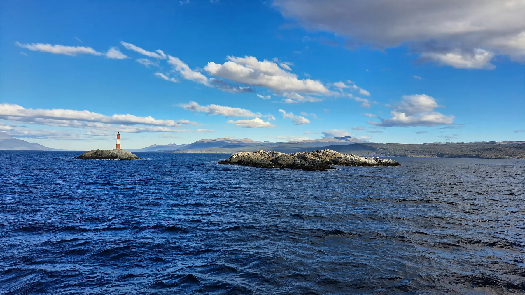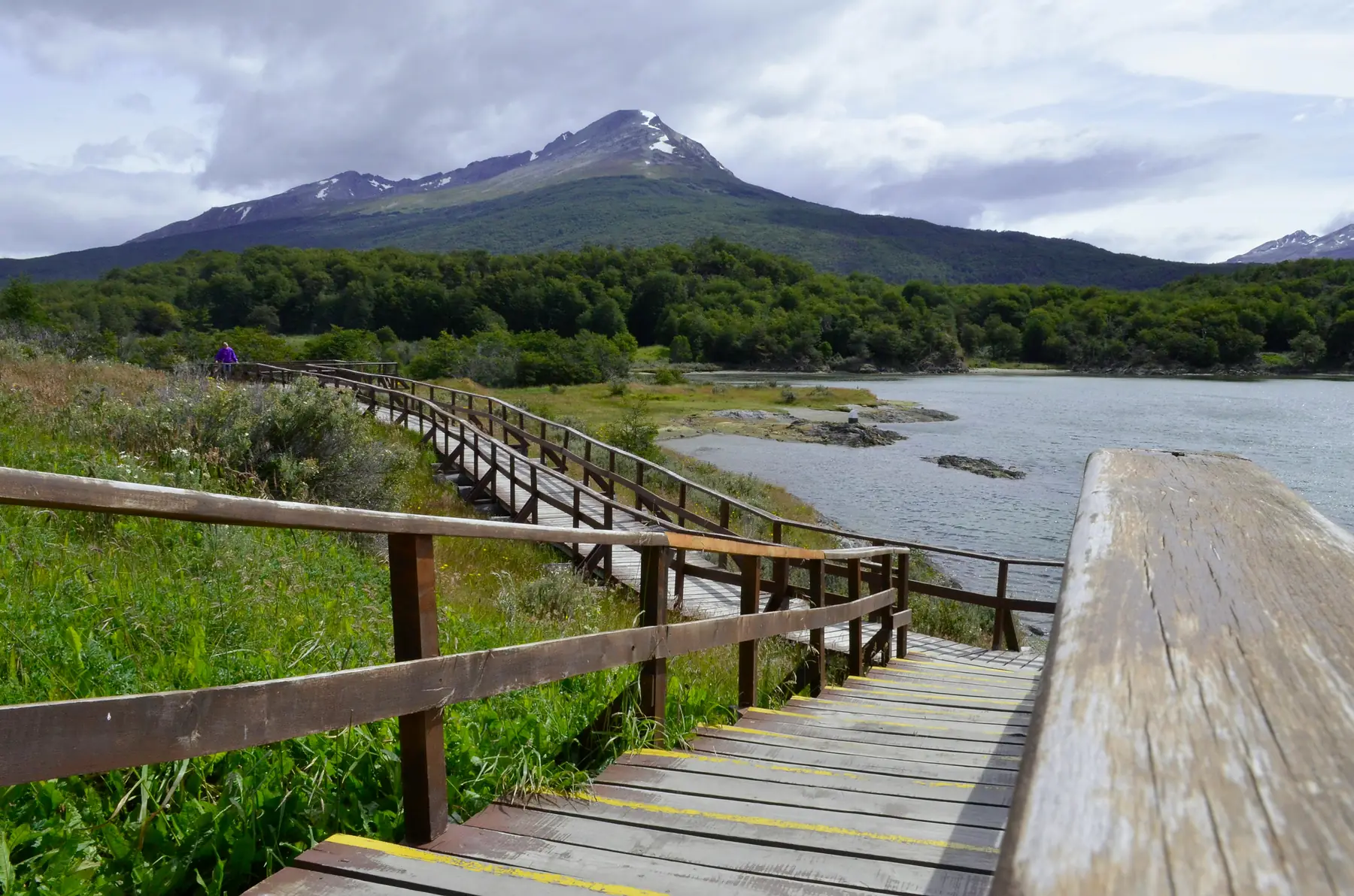
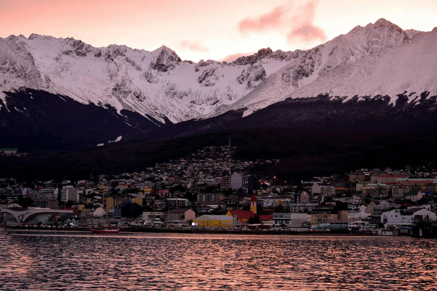
Ushuaia is defined by a steep verticality that dictates every aspect of how you move through the city. To navigate the “End of the World” effectively, you must understand that the town is organized into three distinct horizontal tiers squeezed between the Beagle Channel and the jagged peaks of the Martial Mountains.
Whether you are arriving by cruise ship for an Antarctica expedition or heading west into Tierra del Fuego National Park, spatial orientation is your most valuable tool. This guide provides the geographic context that standard digital maps often miss, specifically focusing on the transition from the urban grid to the wilderness.
Interactive Ushuaia City & Area Map
The following interactive tool is designed to help you visualize the relationship between the dense commercial center and the surrounding natural landmarks. It functions as a digital overlay of the region, allowing you to toggle between urban logistics and backcountry trailheads.
To get the most out of this map, use the layer toggle in the top-left corner. You can isolate essential services like supermarkets and pharmacies or view the primary transport corridors that lead out of town toward the Tierra del Fuego National Park. Understanding these boundaries is crucial because once you move three blocks north of the waterfront, the terrain changes from a flat stroll to a significant climb.
Understanding the Ushuaia Town Grid
Ushuaia is built on a “staircase” topography. While a standard map view might suggest a simple grid, the reality is a series of steep north-south streets intersected by relatively flat east-west avenues.
The city is organized into three primary tiers:
- The Waterfront (Avenida Maipú): This is the lowest tier, running directly alongside the Beagle Channel. It is flat, scenic, and home to the Ushuaia: Fin del Mundo sign at the intersection with Juana Genoveva Fadul.
- The Commercial Strip (Avenida San Martín): One block up from the water, this is the city’s main artery. It contains the highest concentration of shops, gear rentals, and restaurants.
- The Upper Residential Tier (Avenida Gobernador Paz and above): This tier is where the slope becomes aggressive. Most residential neighborhoods and many boutique hotels are located here, offering better views but requiring a strenuous uphill walk from the center.
For a detailed breakdown of where to stay based on these tiers, see our guide to choosing accommodation in Ushuaia.
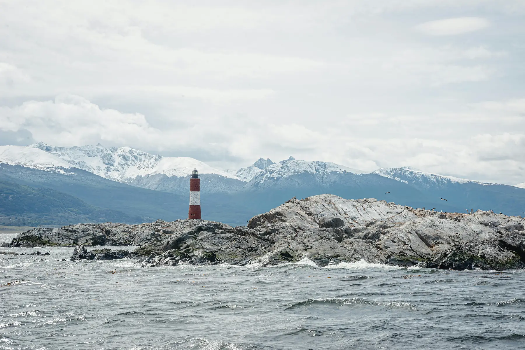
Ushuaia Port & Cruise Terminal Logistics
The Muelle Turístico (Tourist Pier) is the geographic heart of Ushuaia for the thousands of travelers embarking on Antarctica cruises. It is located at the intersection of Avenida Maipú and Lasserre.
Ushuaia Port at a Glance
- Location: Intersection of Av. Maipú and Lasserre.
- Key Landmark: The bright yellow “Muelle Turístico” building.
- Proximity: 2-minute walk to the main commercial street (San Martín).
- Baggage Storage: Several private lockers are located within 300 meters of the pier entrance.
- Customs/Immigration: Located directly at the pier entrance for cruise passengers.
The pier is exceptionally central. You can walk from the gangway of your ship to the main duty-free shops and restaurants in under five minutes. For those arriving early, the area immediately surrounding the pier serves as the primary hub for transport logistics and shuttle buses heading to the airport or the national park.
Map of Hiking Trailheads Near Ushuaia
Ushuaia’s urban grid ends abruptly where the Martial Mountains begin. This proximity means several world-class trailheads are accessible via a short taxi ride or a determined walk from the city center.
The most prominent local trek is the Martial Glacier. The trailhead is located at the end of Juana Genoveva Fadul, roughly 7 kilometers uphill from the waterfront. While you can walk there from town, most hikers take a taxi to the “Base del Glaciar” to save their energy for the actual ascent.
Further afield, Laguna Esmeralda is the region’s most popular day hike. Its trailhead is located at KM 3019 on National Route 3 (RN3), approximately 20 kilometers northeast of the city center. There is a designated parking area and a shuttle drop-off point clearly marked on the highway.
To the east, Playa Larga and Estancia Túnel offer coastal routes. The entry point for these trails is located at the eastern end of the city, where the paved road transitions into a gravel track near the Reserva Natural Playa Larga.
To plan your route and check difficulty levels, refer to our complete Ushuaia hiking guide.
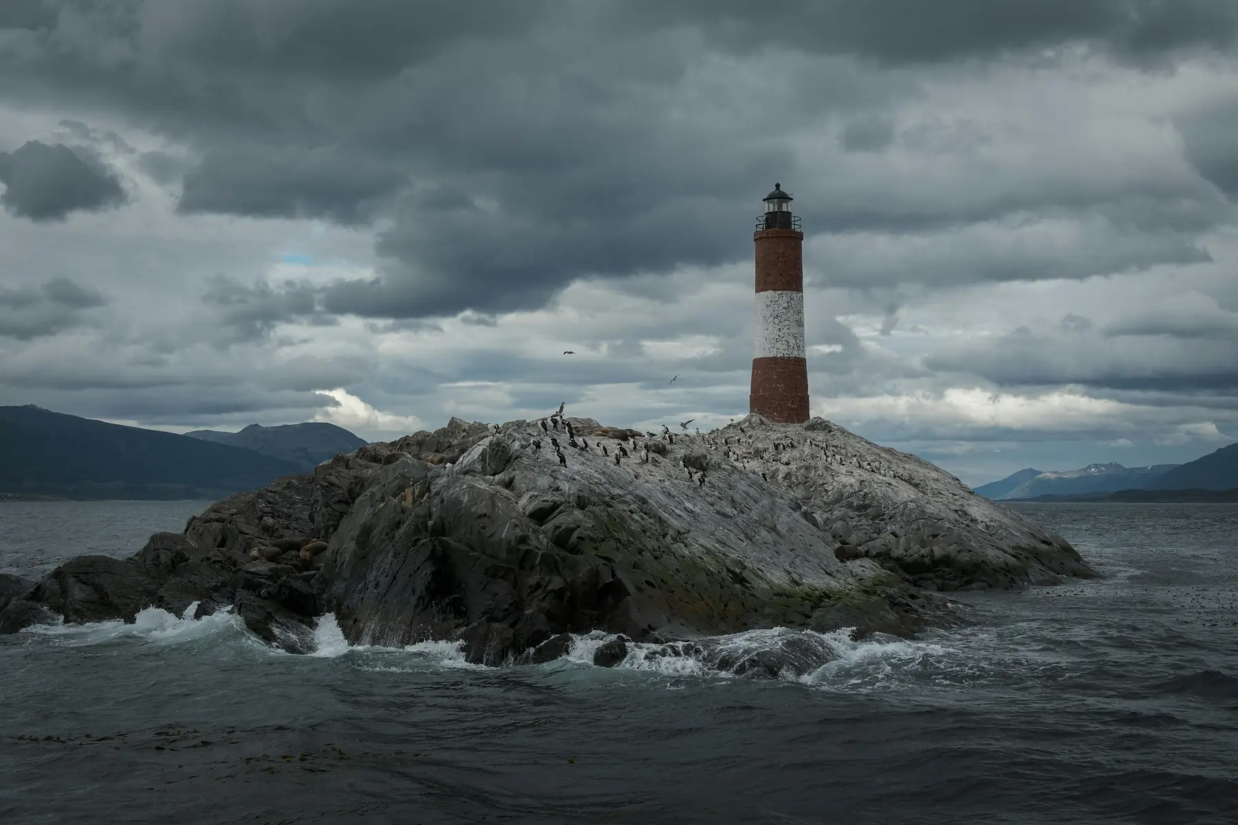
Navigating to Tierra del Fuego National Park
Tierra del Fuego National Park lies 12 kilometers west of the Ushuaia city center. The only road access is via National Route 3, which terminates inside the park at Lapataia Bay.
When viewing the park on a map, three key points of interest define the layout:
- Ferrocarril Fueguino (End of the World Train): The station is located about 8 kilometers west of town, just before the official park entrance. It is a popular geographic landmark but requires a separate stop from the main park gate.
- Ensenada Zaratiegui: The first major coastal access point inside the park, home to the “End of the World” post office.
- Lapataia Bay: The literal end of the Pan-American Highway. This is the westernmost point reachable by vehicle from Ushuaia.
If you are planning a visit, you will find more information on things to do and see inside the park in our dedicated pillar page.
Essential Services & Logistics Map
Most essential services are clustered within a six-block radius of the intersection of San Martín and Roca. This is the densest part of the commercial district and where you will find the highest concentration of utility.
- Healthcare: The Hospital Regional Ushuaia Gobernador Ernesto M. Campos is located at the corner of Maipú and 12 de Octubre, at the western edge of the downtown area.
- Supermarkets: The two primary chains are La Anónima and Carrefour. Large branches are located on San Martín and near the waterfront on Maipú. These are the best places to stock up on supplies before a trek.
- Banking: ATMs (Cajeros Automáticos) and Casas de Cambio are primarily located on the 100-400 blocks of Avenida San Martín.
- Transport Hubs: The main bus terminal for long-distance travel and the primary shuttle pick-up points for the National Park are located near the intersection of Maipú and Juana Genoveva Fadul, adjacent to the Tourist Pier.
For recommendations on where to eat within this central hub, see our guide to Ushuaia’s best restaurants.
Offline Mapping & GPS in Tierra del Fuego
Once you leave the urban grid of Ushuaia, cell service becomes non-existent. This is true for the National Park, the Martial Glacier area, and the entire RN3 corridor toward Rio Grande. Relying on a live data connection for navigation is a significant safety risk.
For reliable navigation, we recommend the following digital tools:
- Maps.me: Excellent for general city navigation and well-trodden paths. Ensure you download the “Tierra del Fuego” region for offline use before leaving your hotel Wi-Fi.
- Avenza Maps: This is the gold standard for hiking in Patagonia. You can download high-quality topographic maps that use your phone’s built-in GPS (which works without cell signal) to show your exact position on a specialized trail map.
- Google Maps (Offline): Useful for driving the RN3 corridor, but ensure you manually select and download the area between Ushuaia and Tolhuin.
FAQ
Is the city center of Ushuaia walkable for tourists? Yes, the main commercial area along Avenida San Martín is very walkable, though be prepared for steep inclines when walking north away from the Beagle Channel. The east-west avenues are flat, but the north-south streets are often very steep.
Where can I find a downloadable Ushuaia hiking map? Digital trail maps for the Ushuaia area, including Martial Glacier and Laguna Esmeralda, are best accessed via the Avenza Maps app or by downloading offline layers in Maps.me. These apps allow for GPS tracking without a cellular connection.
Where is the main cruise ship pier on a map of Ushuaia? The Muelle Turístico (Tourist Pier) is located at the intersection of Avenida Maipú and Lasserre, directly adjacent to the city center. It is within easy walking distance of the main shops and the “End of the World” sign.
How far is the Tierra del Fuego National Park from the Ushuaia city map? The park entrance is located approximately 12 kilometers (7.5 miles) west of the Ushuaia city center via National Route 3. The drive typically takes 15 to 20 minutes depending on traffic and weather conditions.
Can I use Google Maps offline for navigating the Ushuaia area? You can download the Ushuaia city area for offline use, but for backcountry hiking, specialized topo maps are recommended due to limited detail on standard road maps. Apps like Avenza provide much better contour and trail data.
Where is the “End of the World” sign located in Ushuaia? The iconic “Ushuaia: Fin del Mundo” sign is located on the waterfront at the intersection of Avenida Maipú and Juana Genoveva Fadul. It is a flat, easy walk from the cruise ship pier.