
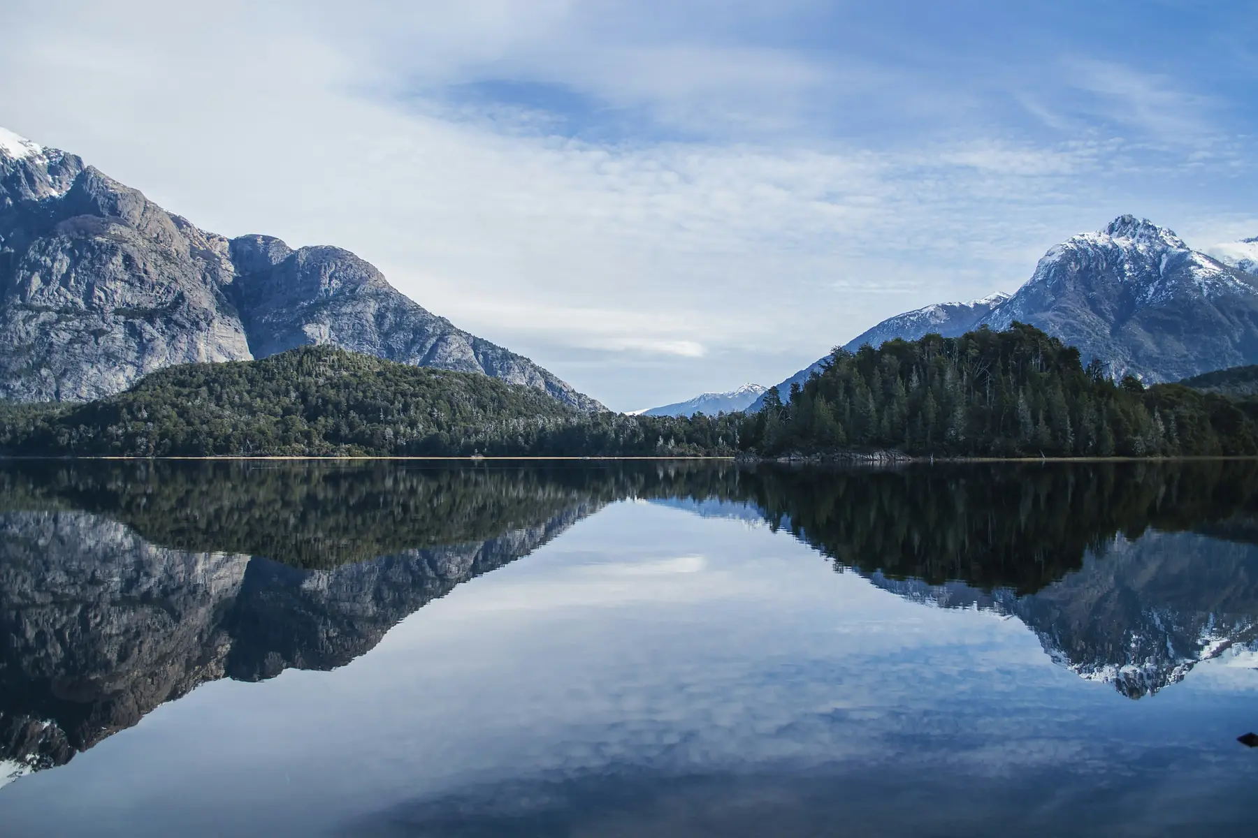
This is the Argentina-only alternative to the classic cross-border circuit: no Chilean border crossings, no W Trek bookings, and two regions most Patagonia itineraries skip entirely or rush — the Lake District around Bariloche and the granite country around El Chaltén, joined by a single seasonal internal flight via El Calafate.
By prioritising five full days in Bariloche and five days in the El Chaltén region, this itinerary favours deep immersion over a rushed checklist. It gives you the necessary time buffer to wait out the volatile Patagonian weather, ensuring you actually see the peaks rather than just walking through the clouds. If your two weeks need to include Torres del Paine, this isn’t the route — use our 2-week Patagonia itinerary instead; if you only have a week for hiking, see the 7-day hiking itinerary.
Trip At-A-Glance
- Total Duration: 14 days (13 nights on the ground)
- Start Point: Buenos Aires (AEP/EZE) → Bariloche (BRC)
- End Point: El Calafate (FTE) → Buenos Aires (AEP/EZE)
- Country: Argentina only (no border crossings)
- Focus: Alpine day hikes, glacial lakes, scenic drives, glacier viewing
- Best Months: November to March (peak season with direct BRC–FTE flights)
- Estimated Budget: $2,500 to $5,000 USD per person, excluding international flights
- Fitness Level Required: Moderate to high. Day hikes of 18 to 25 km with up to 1,000 m elevation gain
- Internal Flights: 2 (Buenos Aires to Bariloche, El Calafate to Buenos Aires)
Route Overview and Logistics
Planning this specific loop across Argentina involves navigating a massive geographical gap between northern and southern Patagonia. The success of this trip hinges on how you structure your transit days.
Flight Logistics and the Bariloche Connection
The single most critical logistical detail of this itinerary is the transition from Bariloche to El Calafate on Day 7. Aerolíneas Argentinas runs a highly convenient, seasonal direct flight between San Carlos de Bariloche (BRC) and El Calafate (FTE). This direct flight takes just under two hours, usually departing mid-morning.
The direct Bariloche to El Calafate flight operates primarily during the peak warmer months, typically October through April. If you travel outside this window, you will have to book a connecting flight through Buenos Aires, which turns a two-hour jump into a six-to-eight-hour travel day. Check the Aerolíneas Argentinas flight schedule before locking in your exact travel dates.
The El Calafate to El Chaltén Transit
El Chaltén does not have its own airport. To get there, you will land in El Calafate and take a three-hour bus journey north along Route 40, skirting Lake Argentino and Lake Viedma. This itinerary places your El Chaltén days at the end of the trip, meaning you will bypass the town initially to see Perito Moreno Glacier, head north to hike, and then return south to El Calafate for your final flight out. This minimises unnecessary backtracking.
When booking your connection from Buenos Aires, allow at least four hours if you need to switch airports. Most international flights land at Ministro Pistarini (EZE), while many domestic Patagonia flights depart from Aeroparque Jorge Newbery (AEP) in the city centre. The taxi ride between them takes one to two hours depending on traffic.
Phase 1: The Argentine Lake District (Days 1–6)
Day 1: Buenos Aires to Bariloche
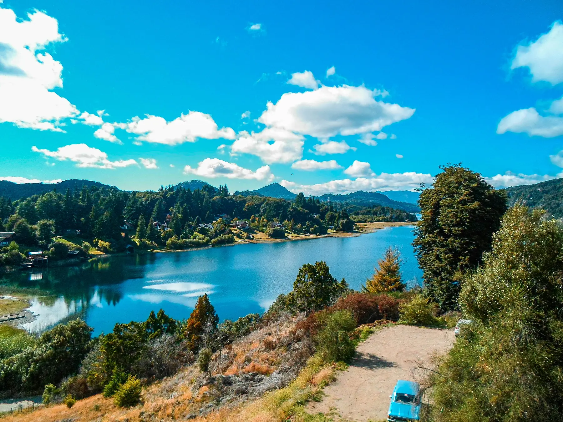
Board your morning domestic flight from Buenos Aires south to San Carlos de Bariloche. The two-hour flight drops you into an entirely different world: alpine peaks, emerald forests, and cold glacial lakes stretching to the horizon.
Pick up a rental car at the airport if you want total freedom over your schedule, or take a local taxi to your accommodation. If you prefer a quieter, nature-focused experience, look for lodging along Avenida Bustillo or in the Llao Llao peninsula region. If you prefer to walk to dinners and local microbreweries, stay in the downtown grid.
Spend your evening walking the waterfront of Lake Nahuel Huapi and settling into the alpine pace. The air is noticeably crisper and drier than Buenos Aires, and the sunset over the lake is worth stepping outside for.
Day 2: The Circuito Chico and Cerro Campanario
Dedicate your first full day in the Lake District to the Circuito Chico (Short Circuit), a 60-kilometre loop that introduces you to the local geography.
Start early to beat the tour buses to Cerro Campanario. You can take a chairlift or complete a short, steep 30-minute hike through the trees to reach the summit. National Geographic rated the view from the top as one of the ten best views in the world: a panoramic sweep of lakes, islands, and the jagged spine of the Andes.
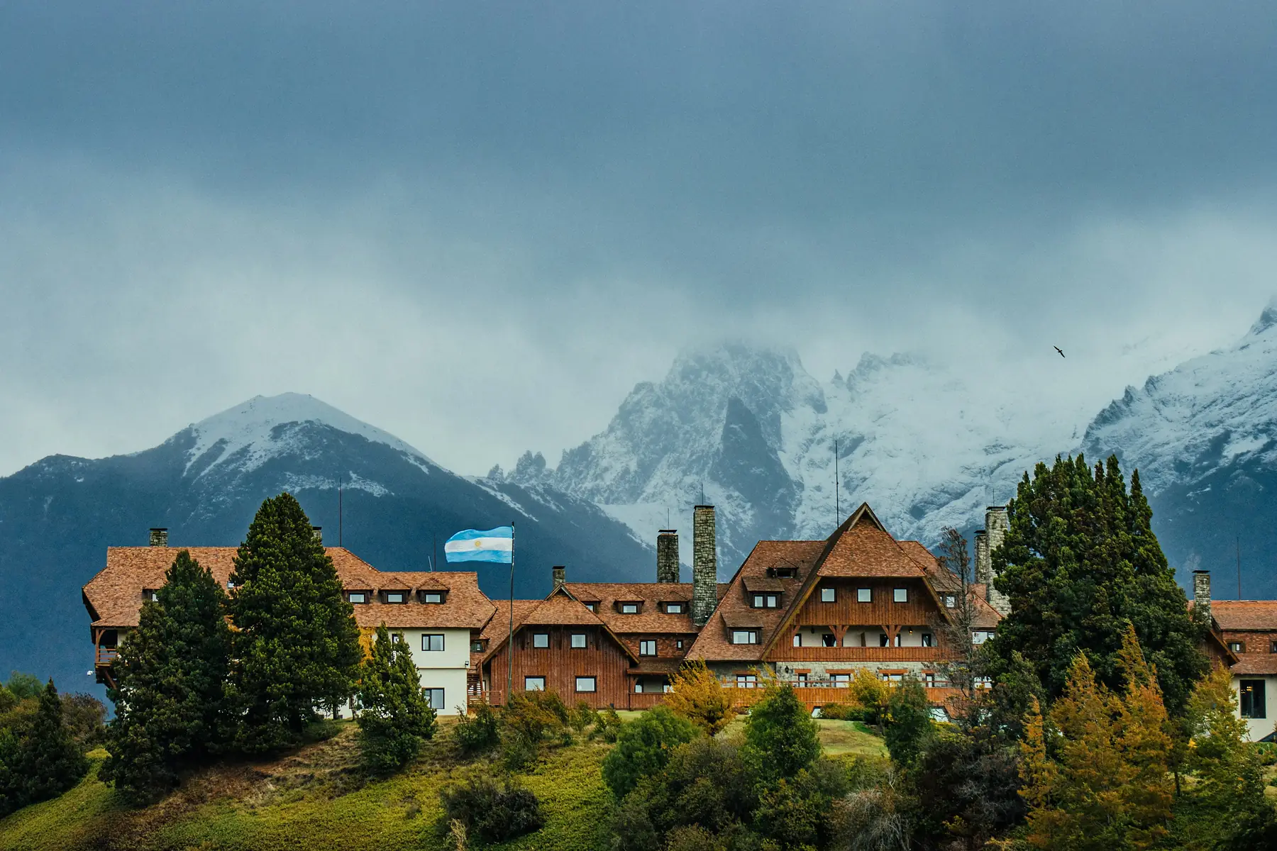
After descending, continue driving or cycling the loop through the lush forests of the Llao Llao Municipal Park. Stop for a short walk to Villa Tacul to skip flat stones into the crystal-clear water, and visit the historic Llao Llao Hotel for a look at classic Patagonian architecture. Finish your afternoon at one of the craft breweries tucked into the forest along the route, which serve excellent local IPAs and stouts paired with wood-fired pizzas.
If you prefer not to rent a car, the local Bus 20 runs reliably along Avenida Bustillo to the Circuito Chico and Cerro Catedral trailheads. You will need to purchase a local SUBE transit card in advance from a kiosk in the town centre.
Day 3: Hiking to Refugio Frey
Today is your first true mountain test. The trek to Refugio Frey is a classic Bariloche experience, taking you deep into the granite spires of Mount Catedral.
The standard trail begins from the edge of the Cerro Catedral ski resort parking lot. It starts as a gentle, undulating path through a forest of coihue and lenga trees before tracking up the Van Titter valley. The final hour climbs steeply over rocky terrain, culminating at a high alpine lagoon tucked beneath jagged rock needles.
The hike is roughly 10 kilometres each way with about 750 metres of elevation gain. It takes between three to four hours to reach the mountain hut, where you can buy a hot bowl of soup or fresh pizza baked by the caretakers.
The final approach to Refugio Frey involves steep, exposed rock scrambling above the tree line. Conditions can change rapidly — wind and fog roll in fast. Carry waterproof layers and trekking poles even if the morning looks clear. If you want a longer, more challenging loop, you can return via the alternative trail that drops down to Lake Gutiérrez, though this requires arranging a taxi or checking the local bus schedule from the trailhead.
Day 4: The Seven Lakes Drive to San Martín de los Andes
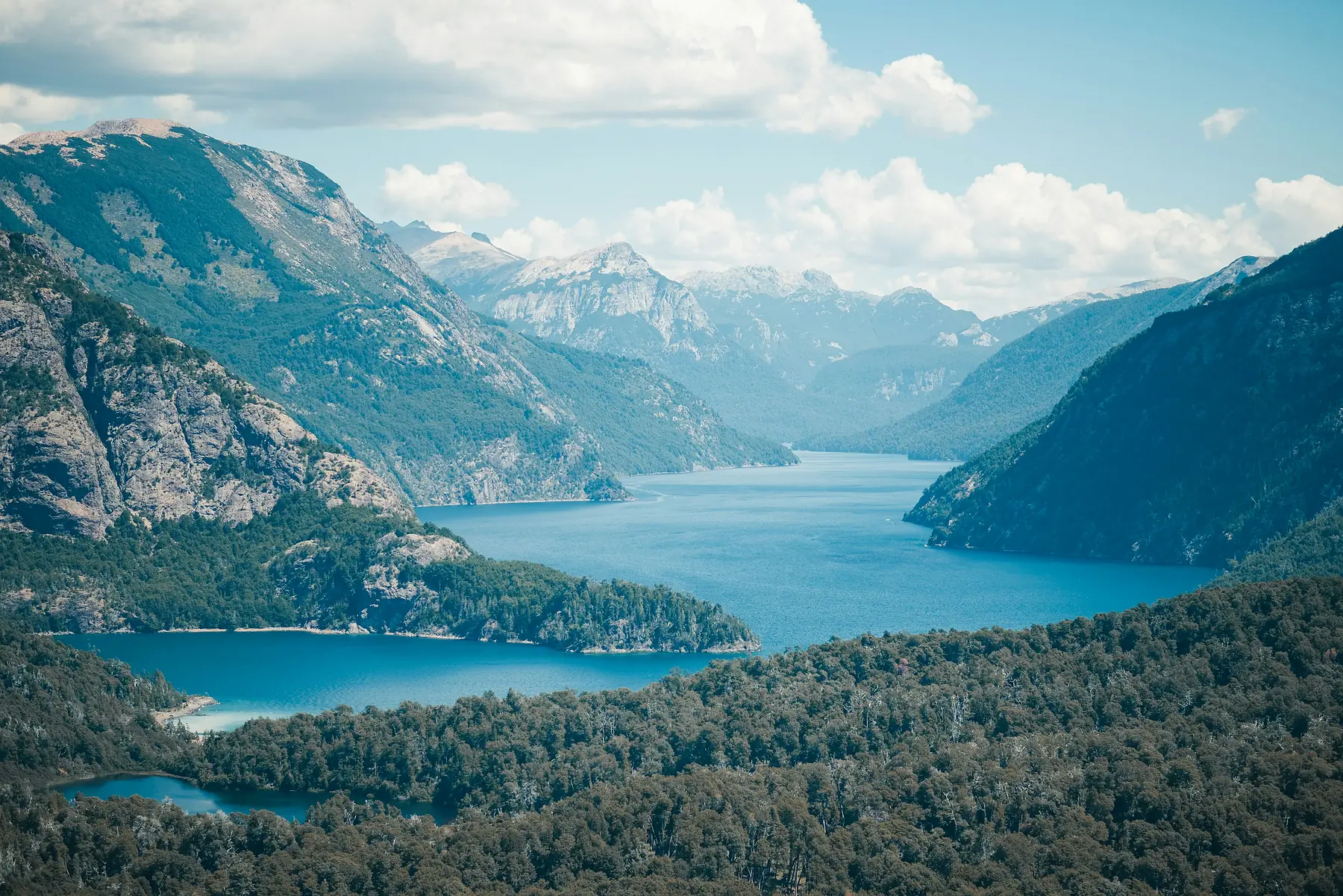
The Camino de los Siete Lagos (Seven Lakes Drive) is one of South America’s premier scenic road trips. It links the mountain towns of Villa La Angostura and San Martín de los Andes along Route 40.
While you can book a group bus tour for this, renting a car for the day is highly recommended. It allows you to stop at hidden beaches and scenic viewpoints that big buses simply pass by.
The road is fully paved and winds past seven distinct glacial lakes: Nahuel Huapi, Correntoso, Espejo, Escondido, Villarino, Falkner, and Machónico. Each lake has its own character, shifting from deep navy to vibrant turquoise depending on the sun and water depth.
Plan to reach San Martín de los Andes by lunchtime. It is a beautiful town nestled on the shores of Lake Lácar, noticeably more relaxed and less commercialised than Bariloche. Grab lunch along the waterfront, walk the quiet streets lined with timber buildings, and drive the return route during the late afternoon when the low sun illuminates the cliffs.
Day 5: Kayaking Lake Moreno or Treks in Llao Llao
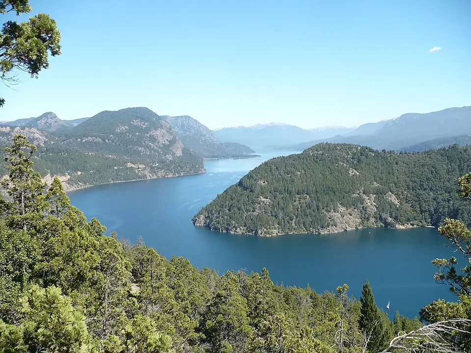
After a long drive the day before, keep today’s logistics light. The waters of Lake Moreno are shielded from the heaviest regional winds by the bulk of Mount López, making it the ideal spot for sea kayaking. Rent a kayak from Bahía López or book a half-day guided excursion to paddle along the vertical rock walls and explore quiet, sandy coves that are inaccessible by land.
In the afternoon, head back into the Llao Llao peninsula for some of the shorter forest trails. The hike up to Cerro Llao Llao takes less than an hour through ancient trees and ends at a viewpoint looking down over the narrow ribbons of water that separate the lakes. It is an excellent, low-impact way to keep your legs moving without adding heavy fatigue before your upcoming flights and the big southern hikes.
Day 6: Mount López or the Brazo Tristeza Boat Excursion
For your final full day in Bariloche, choose your own adventure based on your energy levels:
Option A — The Active Trek: Hike up Mount López to Refugio López. This trail is shorter than the Frey trek but significantly steeper, gaining roughly 800 metres of elevation in just a few kilometres. The path climbs relentlessly through the forest before opening up to dramatic, expansive views of the entire lake basin.
Option B — The Relaxed Cruise: Book a boat excursion into the Brazo Tristeza, a deep, fjord-like arm of Lake Nahuel Huapi. This glacially carved channel is lined with sheer stone cliffs and dense, untouched rainforest. The boat takes you to the far end of the arm, where a short walk leads to the impressive Frey Waterfall. It is a tranquil alternative if your knees need a break before the steep trails of El Chaltén.
Spend your final evening in Bariloche picking up local artisanal chocolates from Rapa Nui or Mamuschka to pack into your hiking snacks for the south.
Phase 2: The Southern Ice and Granite (Days 7–13)
Day 7: Travel to El Calafate
Pack your bags and head to the Bariloche airport for your flight south. Landing in El Calafate immediately highlights the stark contrast of the Patagonian landscape: you leave behind the green forests and blue lakes of the north for the vast, wind-scoured brown steppes of the south.
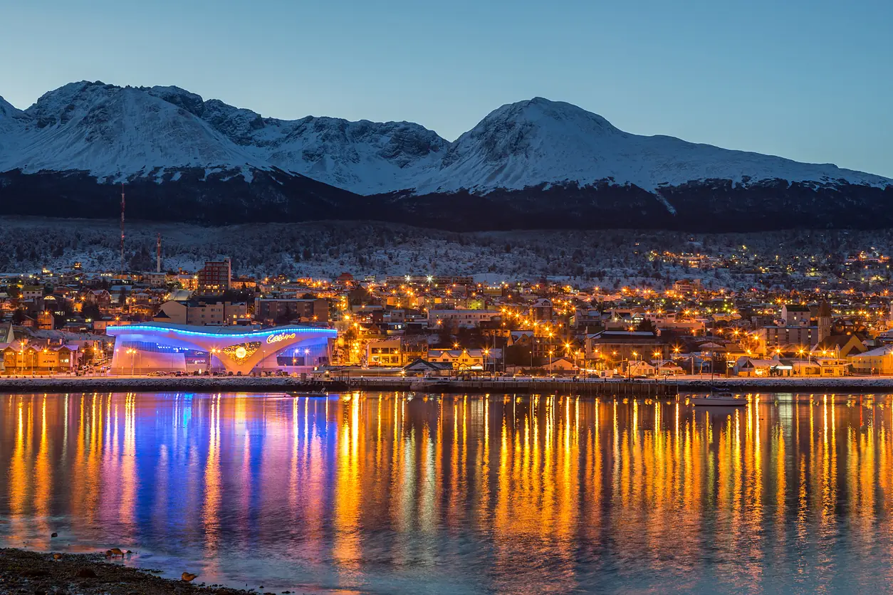
Check into your hotel in El Calafate. The town is built almost entirely around supporting the tourism generated by the nearby glaciers, meaning the main strip, Avenida del Libertador, is packed with gear shops, souvenir stores, and restaurants.
Spend the afternoon visiting the Laguna Nimez Reserve, a protected wetland right on the edge of town where you can observe Chilean flamingos feeding in the shallow waters. Afterward, head to a local parrilla to try authentic Patagonian lamb cooked slowly over an open wood fire.
Day 8: Perito Moreno Glacier
Today is dedicated entirely to Perito Moreno, one of the few advancing glaciers left on Earth. The glacier sits within Los Glaciares National Park, roughly 80 kilometres west of El Calafate. You can reach it via a rental car, a standard transfer bus, or as part of a guided tour.
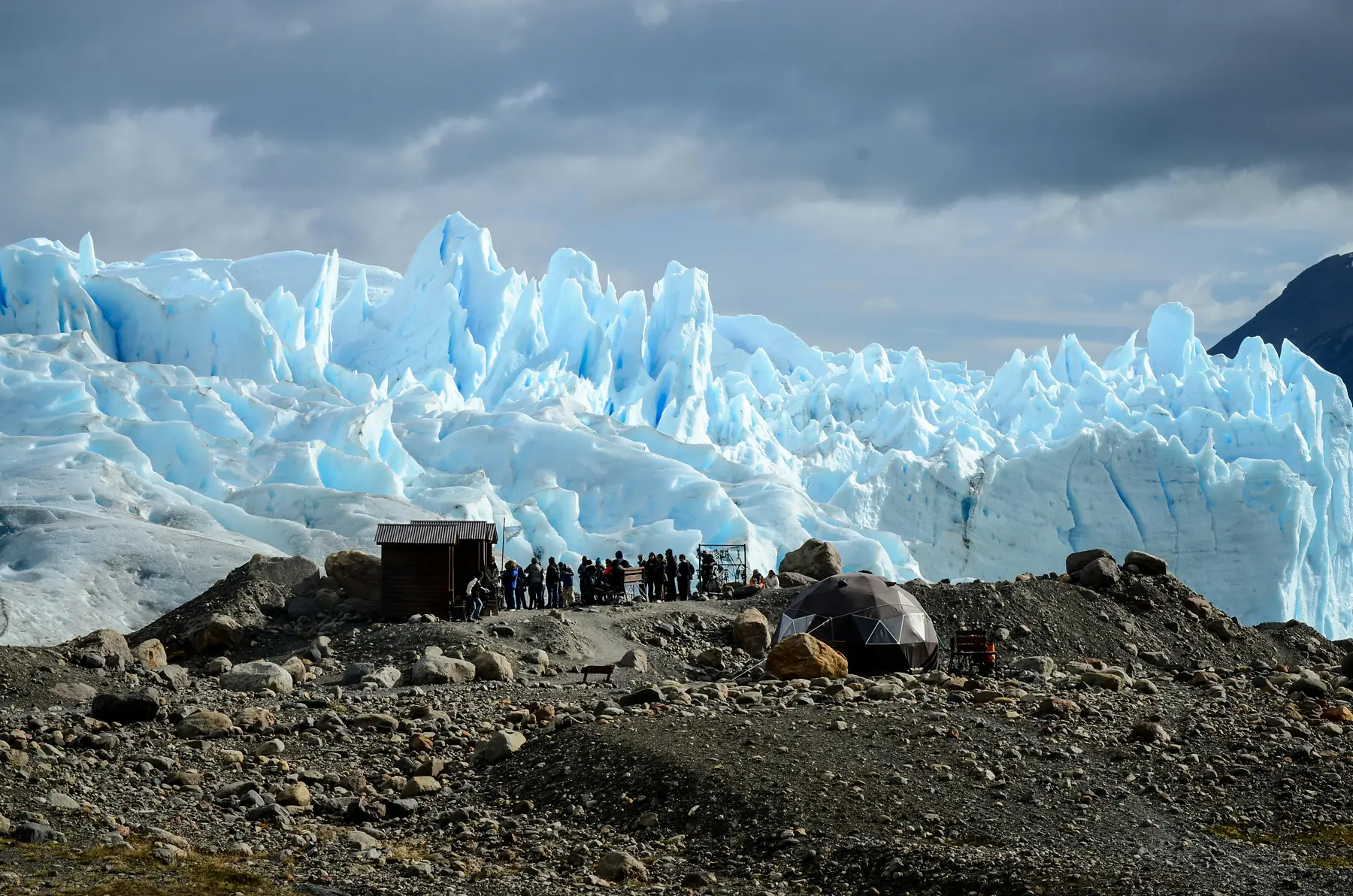
Arrive at the park early to step onto the extensive wooden boardwalk system before the mid-day crowds arrive. The walkways are designed in distinct loops that allow you to view the 60-metre-high wall of ice from multiple angles and heights. Find a quiet spot to sit, watch, and listen: the glacier is constantly moving, generating deep, thunderous cracks before massive chunks of ice calve off and crash into Lake Argentino below.
If you want to step onto the ice itself, you must pre-book a mini-trekking excursion well in advance. These guided trips take you by boat across the lake to the edge of the glacier, where you strap on crampons and walk across the frozen landscape of blue crevasses and meltwater streams. Slots sell out quickly in peak season — book at least two to three weeks ahead.
Day 9: Travel to El Chaltén and a Half-Day Hike
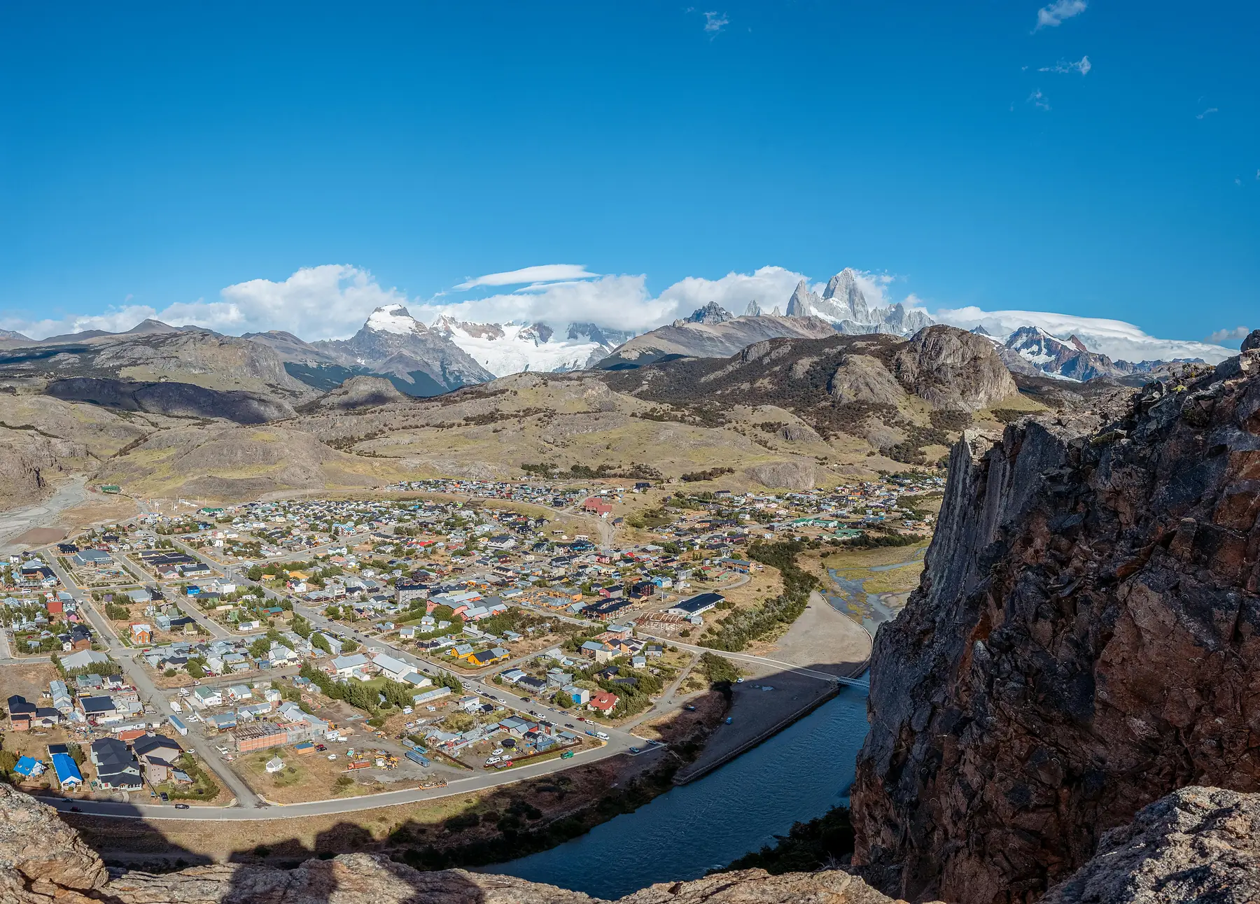
Catch an early morning public bus from the El Calafate bus terminal to El Chaltén. The drive takes you across the empty steppe, passing historic estancias and offering incredible views of the Fitz Roy massif on a clear day as you approach the mountains.
After checking into your accommodation in the compact town grid, stretch your legs with a half-day hike. The trail to Mirador de los Cóndores is an easy 2-kilometre walk from the visitor centre that climbs gently to a rocky outcrop overlooking the town. It is a prime spot to watch Andean condors riding the thermal wind currents.
If you want a slightly longer walk, continue along the loop to Mirador de las Águilas, which opens up vast views across the windswept horizon of Lake Viedma.
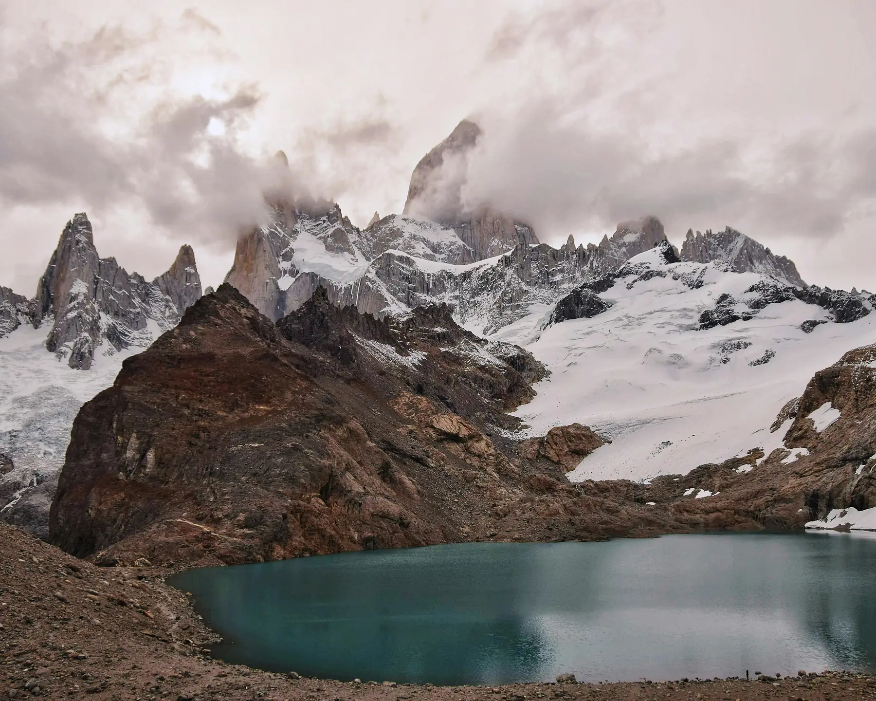
Day 10: The Classic Trek to Laguna de los Tres (Mount Fitz Roy)
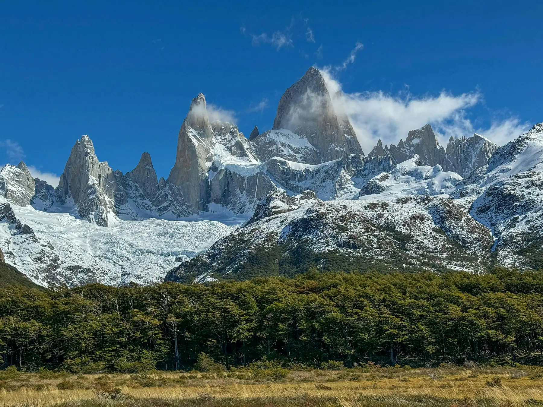
This is the big one. The trail to Laguna de los Tres is the definitive hike in El Chaltén, leading you directly to the base of the iconic Mount Fitz Roy — a 21 km round trip ending in a brutally steep final kilometre up loose moraine to a turquoise lagoon beneath the granite walls.
Start no later than 07:30 to maximise daylight and beat the large groups; the trailhead is at the northern end of Avenida San Martín. Our Fitz Roy hike guide covers the route section by section, with elevation profiles and timing strategy for clear-sky summit windows.
The final ascent to Laguna de los Tres involves roughly 400 metres of elevation gain on loose scree in under one kilometre. Use trekking poles for stability, take slow deliberate steps, and be extremely cautious on the descent — tired legs on loose rock is where most trail injuries happen. If sustained gusts exceed 80 km/h, postpone to a calmer day.
Day 11: Laguna Torre (Cerro Torre Trek)
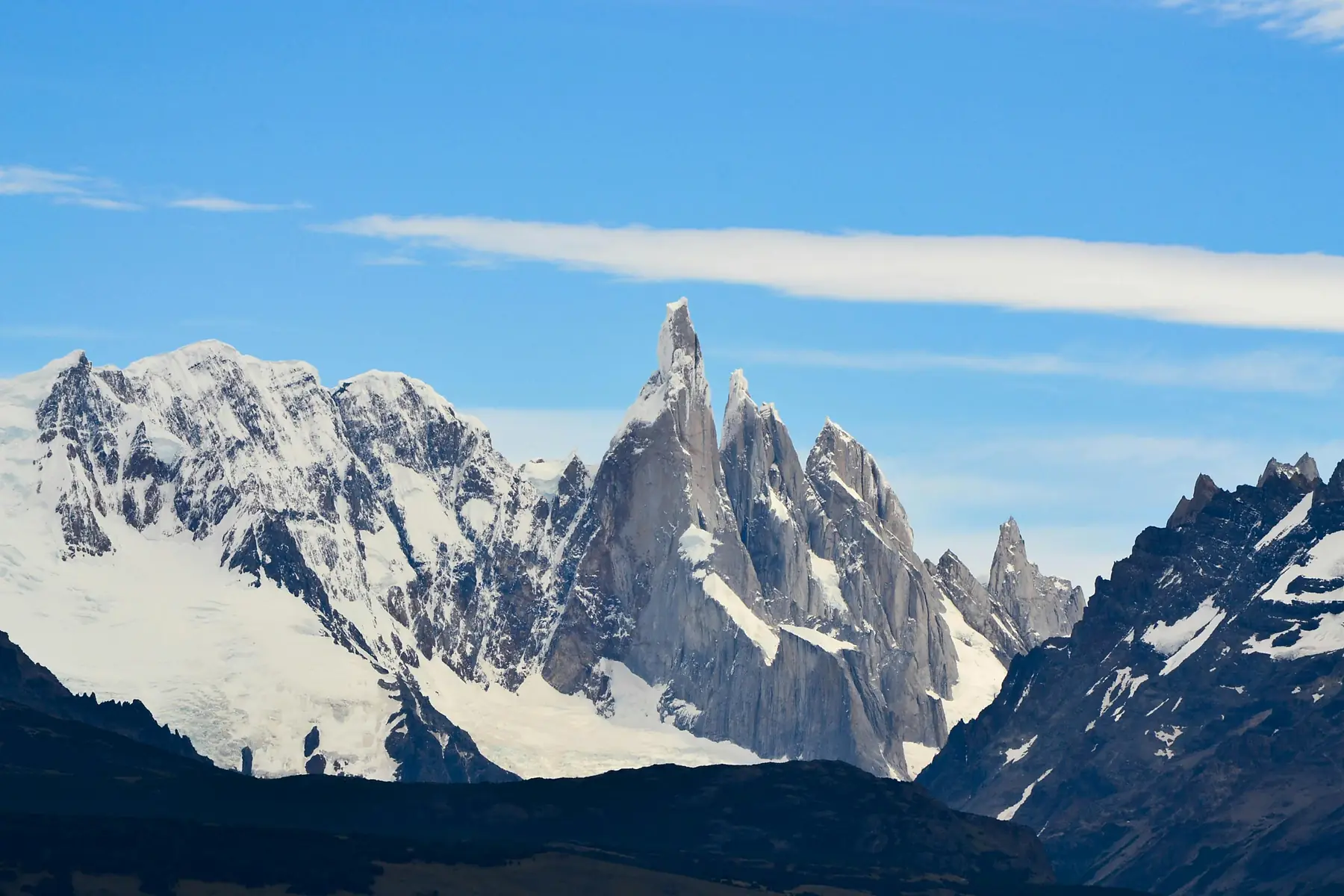
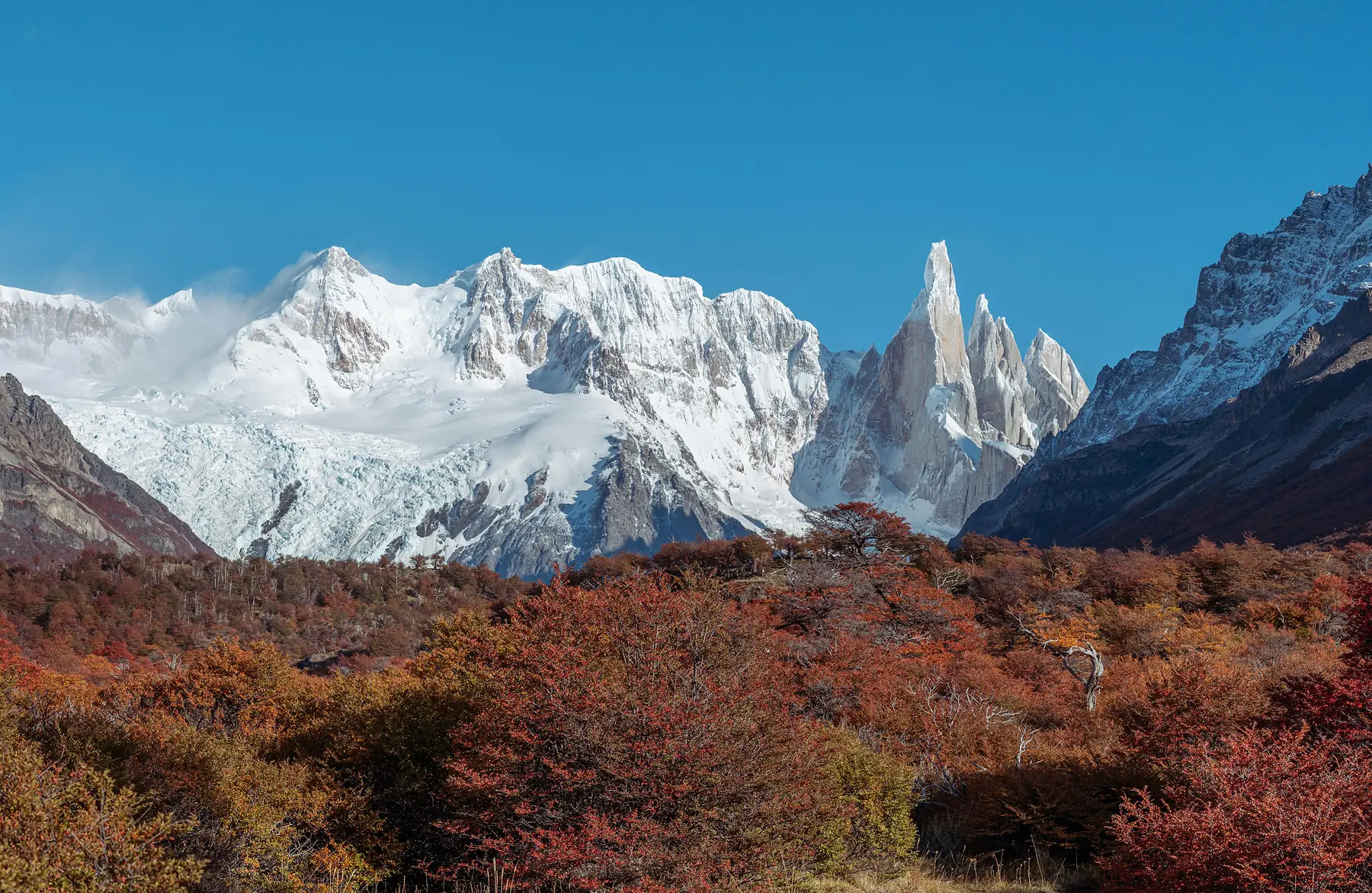
After the steep climb of yesterday, the trek to Laguna Torre offers a welcome change of pace: another long day (around 18 kilometres round trip) but remarkably flat, following the Fitz Roy River from the western edge of town to an iceberg-dotted lake beneath Cerro Torre’s razor spire. Full trail detail is in our Laguna Torre guide.
If the wind is not too severe, continue walking another two kilometres along the lateral moraine ridge to Mirador Maestri for a closer look at the glacier face. The extra effort is worth it on a calm day.
Day 12: Loma del Pliegue Tumbado
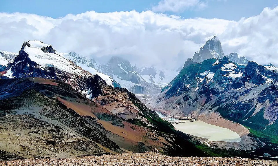
Many hikers overlook Loma del Pliegue Tumbado in favour of the two main lake trails, but it offers arguably the most complete panoramic view in the entire park: a steady 1,000-metre ridge climb from the visitor centre to a summit where you see both the Fitz Roy and Cerro Torre systems simultaneously. Route detail, including the exposed final push above the tree line, is in our dedicated guide.
The summit ridge of Loma del Pliegue Tumbado is completely exposed to the fierce westerly winds blowing off the Southern Patagonian Ice Field. Wind speeds can be extreme even on otherwise clear days. Carry a windproof shell and secure all loose gear. If the forecast shows sustained winds above 70 km/h at altitude, save this hike for a calmer day.
Day 13: Piedra del Fraile or the Chorillo del Salto
For your final full day in El Chaltén, adapt your plans based on your physical condition and the prevailing weather forecast:
Option A — The Remote Valley: Head out to Piedra del Fraile. This private reserve trail begins near the Río Eléctrico bridge, about 16 kilometres north of town along the road to Lago del Desierto. The path follows a wide, flat valley floor through dense beech forests along the riverbank before reaching a mountain refuge. It feels distinctly different from the main park trails and offers a unique perspective on the northern faces of the Fitz Roy massif.
Option B — The Relaxed Recovery Day: If your legs are spent after days of heavy climbing, take a leisurely 3-kilometre walk along the flat, marked trail to Chorillo del Salto, a beautiful 20-metre waterfall nestled in the woods. Spend the rest of your day relaxing in town, browsing the local bookshops, and enjoying microbrews and fresh empanadas at one of the lively mountain pubs.
Phase 3: Departure (Day 14)
Day 14: Return to Buenos Aires via El Calafate
Take an early morning public bus or private transfer from El Chaltén back to the El Calafate airport. The timing here requires careful coordination: aim for a bus that leaves El Chaltén at least five to six hours before your domestic flight’s departure time to account for any potential transit delays on Route 40.
Board your domestic flight back to Buenos Aires (AEP or EZE). If you are connecting directly to a long-haul international flight home tonight, make sure you have allowed that crucial four-hour buffer if you need to transfer between airports across the city.
If your international flight departs the following morning, consider booking one night in Buenos Aires near Aeroparque or in the Palermo neighbourhood. This eliminates the stress of a same-day connection and gives you a final evening to enjoy Argentine steak and wine before heading home.
Practical Notes and Variations
Gear Rental and Packing
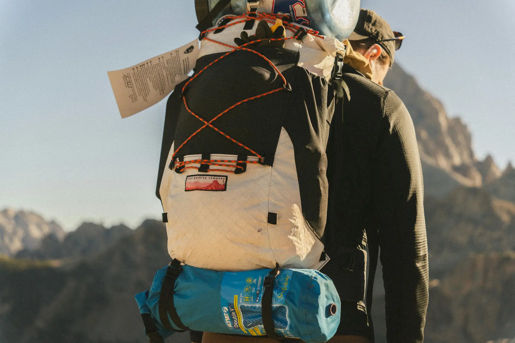
You do not need to pack heavy, bulky camping gear across Argentina if you plan to stick to day hikes. El Chaltén has excellent outfitters along the main street where you can rent high-quality trekking poles, technical jackets, and boots for a very reasonable daily fee.
Currency and Payments
Argentina’s financial system can change quickly. Visa and Mastercard are now widely accepted across Patagonia at competitive official conversion rates, but it is still highly recommended to carry some physical Argentine Pesos for small trail fees, park entry checkpoints, tipping, and rural bus connections where card readers frequently fail due to poor satellite connections.
Weather Contingency Strategies
Patagonia’s weather is notoriously unpredictable. A storm blowing off the Pacific can easily roll over the Andes and completely obscure the mountains for days at a time.
Because this itinerary provides four full days in El Chaltén, you have built-in flexibility. If the forecast predicts a single clear morning among three days of rain, rearrange your days instantly: push your trek to Laguna de los Tres to that clear window, and save the lower valley walks like Laguna Torre or Chorillo del Salto for the overcast, windy days when high-altitude visibility does not matter as much.
The golden rule of El Chaltén: deploy your biggest hikes on the clearest forecast days. Check windguru.cz and mountain-forecast.com the night before each morning. Prioritise Laguna de los Tres and Loma del Pliegue Tumbado for clear days; save the Cerro Torre valley and forest walks for mixed or windy conditions.
Key Alternatives to Tailor Your Trip
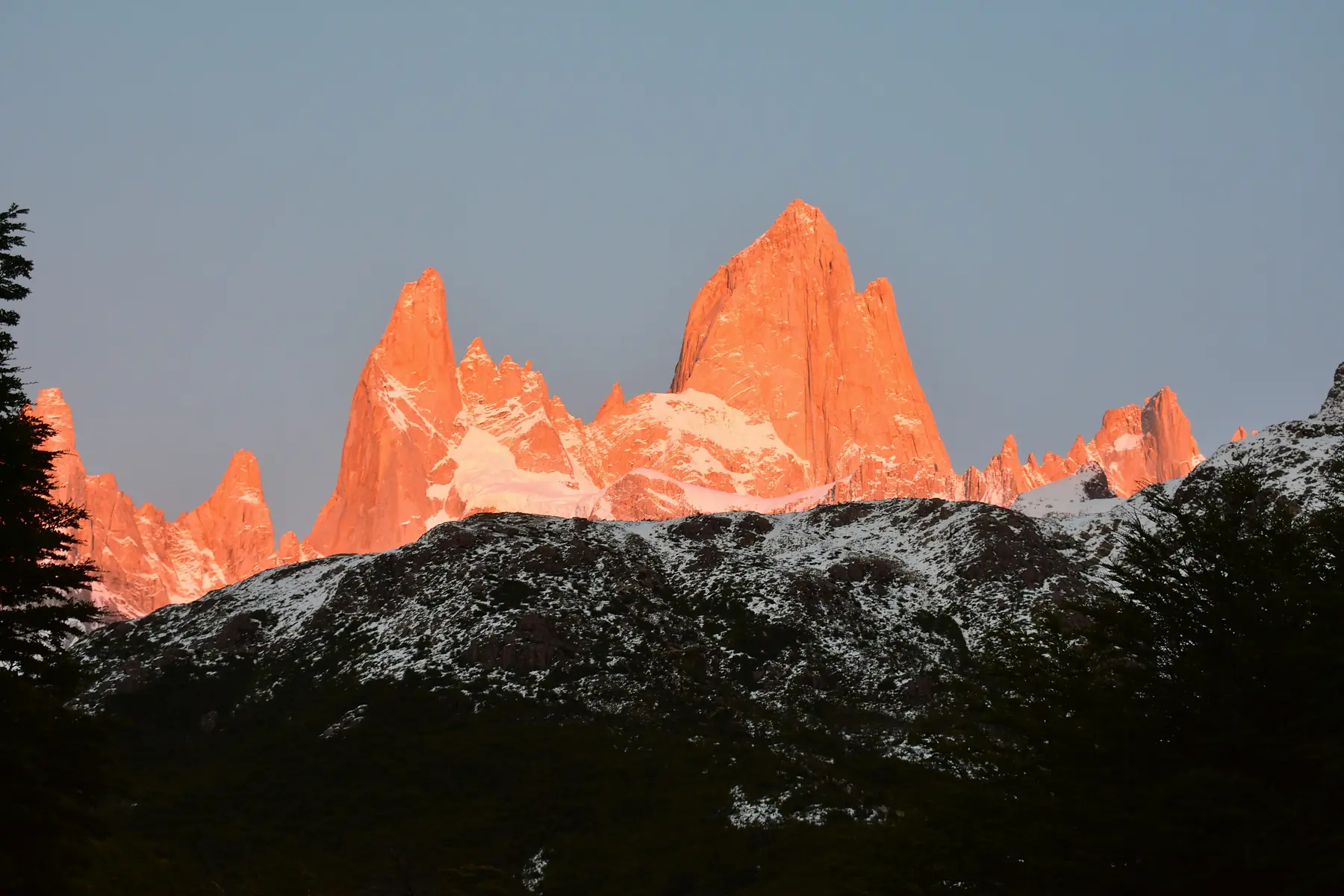
Refugio Overnight Variation: If you prefer an immersive wilderness experience over returning to a comfortable hotel bed each night, look into booking a night at Refugio Frey in Bariloche or camping out at the Poincenot campground in El Chaltén. This allows you to witness the sunrise hit the peaks without having to complete the long approach hikes in the dark.
The Rental Car Alternative: If you opt against renting a car in Bariloche, the local public bus system (specifically Bus 20) runs reliably along Avenida Bustillo to the start of the Circuito Chico and Cerro Catedral trails. It requires purchasing a local SUBE transit card in advance, but it can save a substantial amount of money compared to a week-long car rental.
FAQ
What is the best time of year for this 14-day Argentina itinerary?
November to March is the optimal window. The seasonal direct flight between Bariloche and El Calafate typically operates from October through April. November and March offer the best balance of decent weather, manageable crowds, and full trail access. December to February is the warmest period but also the windiest and most crowded, particularly in El Chaltén. Avoid April onwards, as the direct flight may stop running and some Bariloche trails begin closing for winter.
Do I need to book anything in advance for El Chaltén?
Unlike Torres del Paine in Chile, the trails in and around El Chaltén within Los Glaciares National Park are free to access and require no permits or advance booking. This is precisely why the itinerary places El Chaltén at the end — the flexibility to choose your hiking days based on real-time weather is invaluable. The only thing you should pre-book is accommodation during peak season (December to February), as the town has limited hotel capacity.
How physically demanding is this itinerary?
This is a moderate to high endurance trip. The Bariloche phase includes one serious day hike (Refugio Frey, 20 km with 750 m gain) and one optional steep summit (Mount López, 800 m gain). The El Chaltén phase involves three to four consecutive days of hiking with distances of 18 to 25 km and elevation gains up to 1,000 m. You should be comfortable hiking 20 km per day on uneven terrain. A basic training programme starting six to eight weeks before departure is recommended.
Can I do this trip without renting a car in Bariloche?
Yes, but it limits your flexibility. Bus 20 covers the main Circuito Chico route and Cerro Catedral trailhead reliably. For the Seven Lakes Drive on Day 4, you can book a guided bus tour instead of driving yourself, though you lose the ability to stop at hidden viewpoints. Taxis are available but expensive for repeated trips. If budget is a concern, skip the car rental and use public transport — just build in extra time for connections.
What happens if the Bariloche to El Calafate direct flight is cancelled?
This is uncommon during the main season but can happen due to weather. If your direct flight is cancelled, Aerolíneas Argentinas will typically rebook you on the next available routing through Buenos Aires, adding four to six hours to your travel day. To protect your itinerary, consider booking refundable accommodation in El Calafate or building one extra buffer day into your Bariloche block that can absorb a delay.
Is it worth adding Perito Moreno mini-trekking, or are the boardwalks enough?
The boardwalks alone are a genuinely spectacular experience — you can spend three to four hours viewing the ice wall from multiple angles and hearing the thunderous calving. The mini-trekking adds a completely different dimension: strapping on crampons and walking across the glacier surface among blue crevasses and meltwater streams. If you have the budget and book well in advance, it is worth it. But the boardwalks are not a compromise — they are a world-class experience in their own right.
What gear should I bring versus rent locally?
Bring from home: your broken-in hiking boots (never trek in new boots), waterproof shell jacket, base layers, and a small daypack. Rent in El Chaltén: trekking poles and any technical gear you do not want to fly with. Bariloche has excellent gear shops along Mitre street for last-minute purchases. The key item most travellers forget is wind protection — a proper windproof shell is non-negotiable for the exposed ridges above El Chaltén.
How much cash should I carry in Argentine Pesos?
Card acceptance has improved significantly across Patagonia, but carry enough cash for three to four days of small expenses. Park entry fees, local bus tickets, small cafés, and tips are often cash-only. ATMs exist in Bariloche, El Calafate, and El Chaltén, but queues can be long and withdrawal limits low during peak season. Withdraw a reasonable amount at the airport on arrival and top up as needed.