
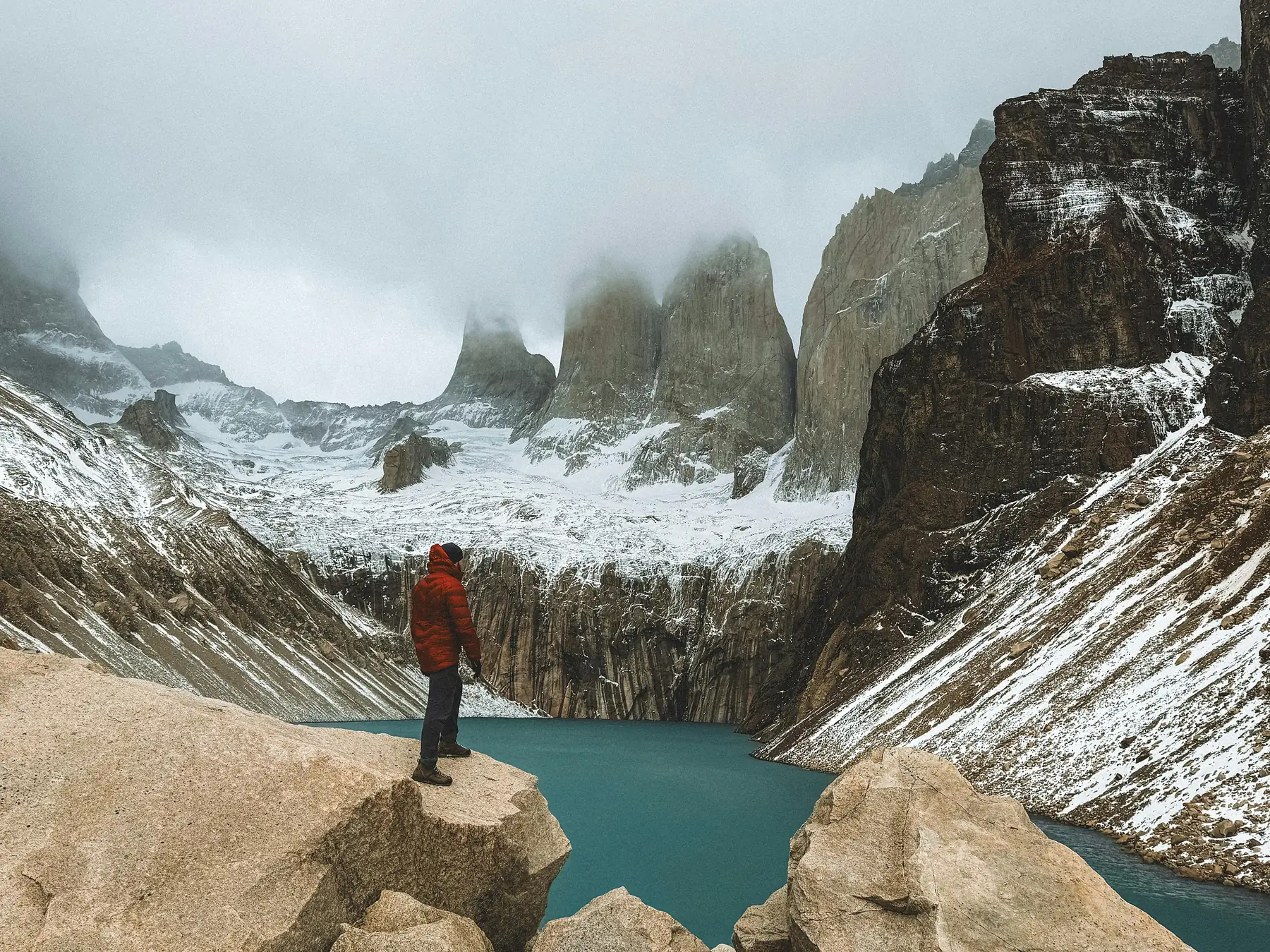
A Torres del Paine map is the essential logistical framework for coordinating trail distances, refugio bookings, and park entrance logistics. Because the park is divided into distinct sectors managed by three different entities, visualizing the spatial relationship between trailheads and campsites is the first step in building a viable itinerary.
This guide serves as the master spatial reference for Torres del Paine National Park. It provides the technical data needed to plan your movement through the park, whether you are trekking the multi-day circuits or navigating the road network by vehicle.
Park Geography at a Glance
- Total Area: Approximately 1,814 square kilometers (700 square miles)
- Primary Gateway: Puerto Natales (80km south of the park border)
- Main Administrative Hub: Villa Monzino (GPS: 51.2185° S, 72.9858° W)
- Highest Point: Cerro Paine Grande (2,884m)
- Trekking Hubs: Central/Las Torres, Paine Grande, and Grey
Interactive Overview of Torres del Paine National Park
The park is geographically defined by the Paine Massif, an independent mountain group separated from the main Andes range. Understanding the map requires dividing the park into three primary sectors - the Central/Las Torres area in the east, the French Valley in the center, and the Grey Glacier/Ice Field in the west.
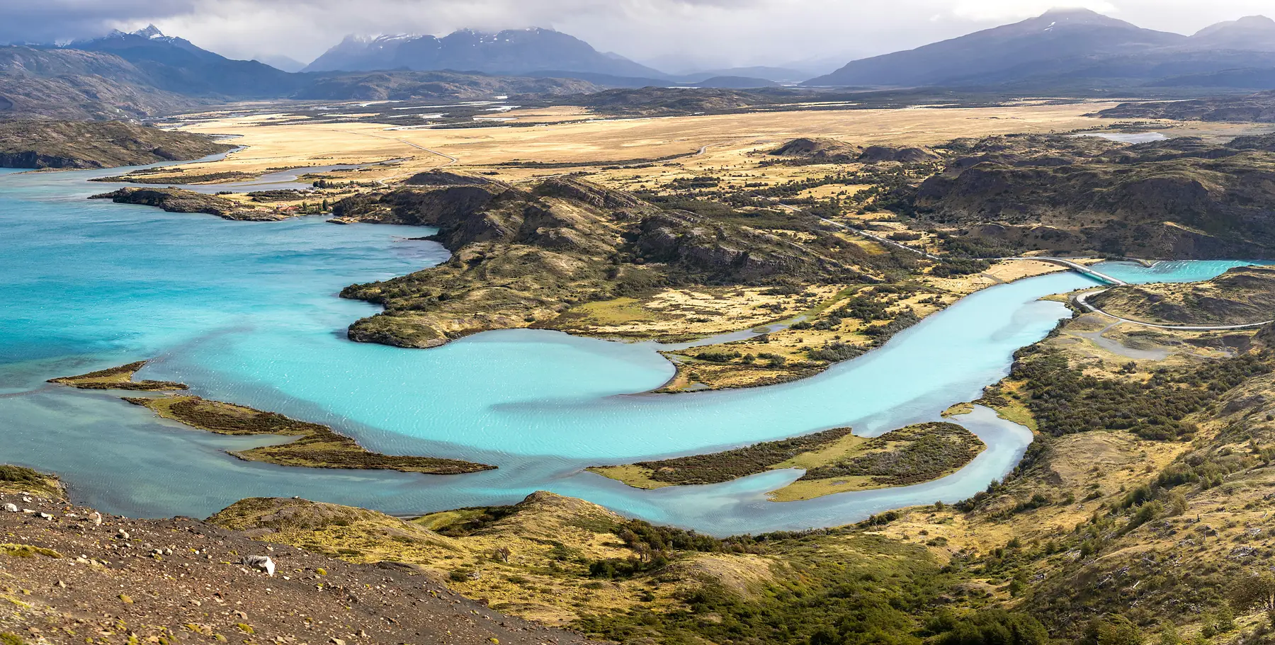
Most visitors arrive from Puerto Natales, entering through the eastern or southern gates. The spatial layout is dominated by a series of glacial lakes (Nordenskjöld, Pehoé, and Grey) that sit at the base of the granite towers and “horns” (Cuernos) that give the park its name.
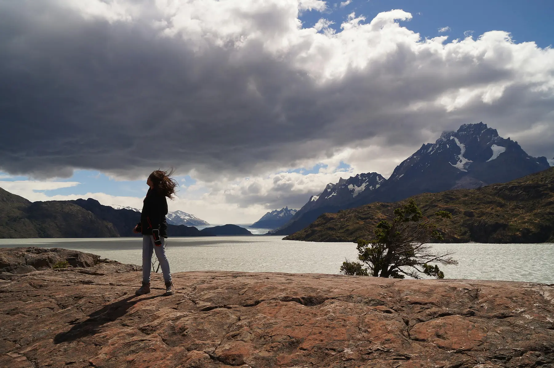
When viewing the map, it is vital to account for the park’s distinct microclimates. The western sector near Grey Glacier is significantly more exposed to the Southern Patagonian Ice Field, often experiencing higher precipitation and stronger winds than the relatively sheltered Central sector. This spatial variation in weather often dictates the direction in which trekkers choose to hike.
The W Trek Trail Map: Distances and Waypoints
The W Trek follows the southern face of the Paine Massif, tracing a shape that resembles the letter W. The route is approximately 75 to 80 kilometers long, depending on how many spur trails you complete. The map is anchored by three deep valleys - the Ascencio Valley (leading to the Towers), the Francés Valley (the middle of the W), and the Grey Valley (the western arm).
Spatial planning for the W Trek relies on understanding the distance and average time required for each leg. The following data represents the standard trekking segments for the 2026/27 season. As of 2026, there are no mandatory one-way restrictions on the W Trek, though hikers are encouraged to stay on marked paths to prevent erosion.
| Trail Segment | Distance (km) | Est. Time (Hours) | Elevation Change |
|---|---|---|---|
| Central to Chileno | 5.5 km | 2 - 2.5 | 400m gain |
| Chileno to Base Torres | 4 km | 1.5 - 2 | 400m gain |
| Central to Cuernos | 11 km | 4 - 5 | Rolling terrain |
| Cuernos to Italiano | 5.5 km | 2 - 2.5 | Minimal |
| Italiano to Británico | 5.5 km | 3 | 600m gain |
| Italiano to Paine Grande | 7.5 km | 2.5 - 3 | Minimal |
| Paine Grande to Grey | 11 km | 3.5 - 4 | 250m gain |
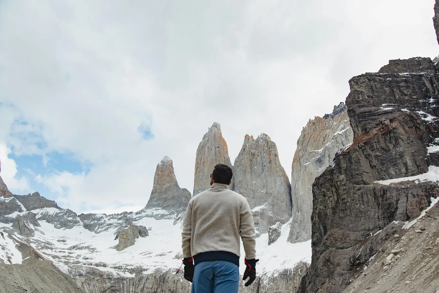
For those planning a single day of hiking rather than the full circuit, the map focuses on the easternmost arm of the W. This is the most popular day trip in the park.
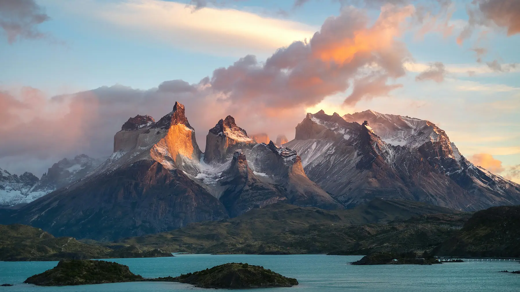
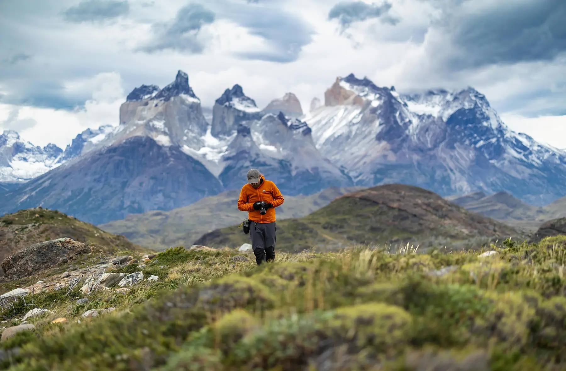
To plan your specific route and see day-by-day trail descriptions, visit our dedicated guides:
The O Circuit: Backside and John Gardner Pass Map
The O Circuit includes the entire W Trek but adds a “backside” loop that circles the northern perimeter of the Paine Massif. This remote sector is significantly less crowded and requires a higher degree of spatial awareness, as help is farther away and trail conditions are more rugged.
The spatial highlight of the O Circuit map is the John Gardner Pass. This is the highest point on the trek (approximately 1,200m) and marks the transition from the northern forests to the dramatic views of the Grey Glacier. The descent from the pass toward Refugio Grey is notoriously steep, dropping nearly 900m in just a few kilometers.
The northern sector of the O Circuit is seasonal and typically only open from November 1 to March 31. Access is strictly controlled by rangers at the Serón and Coirón stations. For the 2026/27 season, these dates remain the standard operating window, subject to snow conditions.
The remote campsites in this sector (Serón, Dickson, Los Perros, and Paso) are spaced roughly 4 to 6 hours apart. Unlike the southern W Trek, the O Circuit is strictly hiked in a counter-clockwise direction to manage the steep ascent of the Gardner Pass and ensure hiker flow remains consistent on narrow trails.
If you are considering the full loop, you will need to coordinate your map study with specific booking windows for the remote camps.
Vehicle Access & Attractions Map (Non-Hiker Guide)
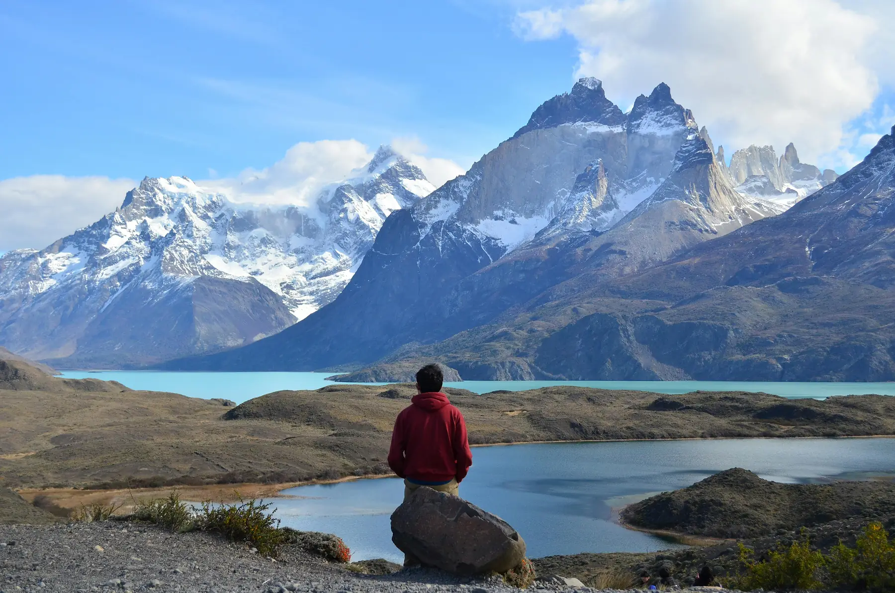
You do not need to be a multi-day trekker to see the park’s most dramatic landscapes. The road network connects several world-class viewpoints and luxury lodges, primarily via Route Y-150 and Route Y-290.
The vehicle map centers on the southern and eastern edges of the park. Key drive-to viewpoints include the Nordenskjöld Lookout, which offers a panoramic view of the Cuernos, and the Salto Grande waterfall. These locations are accessible via short, flat walks from designated parking areas.
The road status is a critical planning factor. As of 2026, Route Y-290 is paved from Puerto Natales to the Serrano entrance; however, most roads within the park boundaries remain high-quality gravel (ripio) that requires cautious driving, especially during high winds.
For those looking to reach the western glaciers without hiking, the map features two essential catamaran routes. The Pehoé ferry connects Pudeto to Refugio Paine Grande, while the Grey Glacier ferry departs from the southern end of Lake Grey to reach the glacier face.
If you prefer a more relaxed pace, you can explore the park’s accessible highlights through our itinerary guide:
Refugios and Campsites: The Booking Layer
The most complex part of the Torres del Paine map is the “Booking Layer.” Accommodation in the park is not managed by a single entity. Instead, it is split between two private companies (Las Torres Patagonia and Vertice Patagonia) and the national forest service (CONAF).
You cannot simply show up and camp; you must have a confirmed reservation for every night spent in the park. The map below shows how these sites are clustered.
- Sectors: Chileno, Cuernos, Francés, Central, Norte, Serón (Las Torres)
- Sectors: Paine Grande, Grey, Dickson, Los Perros (Vertice)
- Vibe: More established, higher capacity in the Central hub (Las Torres)
- Vibe: Strategic locations for the western W and northern O circuit (Vertice)
- Services: Full board meals, gear rental, and “premium” camping options (Las Torres)
- Services: Large refugios with bars/restaurants and standard campsites (Vertice)
You will likely need to book with both to complete either the W or O trek.
CONAF manages the remaining sites, including the Italiano campsite and the Paso campsite on the O Circuit. These are generally more basic and serve as ranger stations where you must register your arrival.
To understand the facilities available at each point on the map, refer to our detailed accommodation guides:
Park Entrances and Logistics Map
There are three primary gates into Torres del Paine, each serving a different logistical purpose. Choosing the wrong gate can add hours of unnecessary travel time to your trip.
- Laguna Amarga (East): This is the primary hub. Almost all buses from Puerto Natales stop here first. It is the closest entrance for those starting the W Trek or visiting the Base of the Towers. From here, a shuttle bus operated by Las Torres Patagonia connects you to the Welcome Center (Central sector). Shuttles typically run every 30-60 minutes during peak hours to coincide with bus arrivals from Puerto Natales.
- Portería Sarmiento (East): Located south of Amarga, this gate is less crowded and is the best entry point for wildlife photographers looking to spot guanacos and pumas in the open pampa.
- Portería Serrano (South): This entrance is the most convenient for visitors staying in the Rio Serrano hotel sector or those arriving by boat via the Serrano River. It provides the most direct road access to Lake Grey.
Travel time from Puerto Natales to Laguna Amarga is approximately 2 to 2.5 hours by bus. If you are driving yourself, ensure you account for the time required to show your entrance QR code (purchased via pasesparques.cl) and register at the ranger station, which can take 20 to 30 minutes during peak morning hours.
For more on the journey from the gateway town to these entrances, see our transport guide:
Navigation and Safety: Offline Map Apps vs. Paper
Relying on Google Maps inside Torres del Paine is a mistake. There is zero cell service once you leave the main administrative hubs, and the trail data on Google is often incomplete or dangerously inaccurate.
For reliable navigation, you should use a GPS-enabled app with offline maps downloaded before you leave Puerto Natales. OpenStreetMap (OSM) data is currently the most reliable digital source for park trails.
Download the FarOut (formerly Guthook) guide for Torres del Paine. It uses community-sourced data to provide real-time updates on water sources, bridge conditions, and campsite facilities that official maps often miss.
While digital tools are excellent, a physical, waterproof map is still recommended, especially for the O Circuit. Physical maps allow for a broader spatial perspective that is difficult to get on a small phone screen and do not suffer from battery failure in Patagonia’s cold temperatures.
Finally, keep in mind that spatial awareness is only half the battle. The most accurate map cannot account for the sudden weather shifts that define this region. Before you set out, always cross-reference your map with the latest conditions.
FAQ
Where can I find a high-quality Torres del Paine map PDF? You can download the official Sernatur or CONAF map PDF from their respective websites, but for trekking, we recommend using a dedicated navigation app like FarOut or purchasing a physical waterproof map in Puerto Natales.
Are the trails in Torres del Paine well-marked on a map? Yes, the W and O treks are clearly marked with color-coded stakes and distance markers that correspond to the official park maps provided at the entrances.
Does Google Maps work for hiking in Torres del Paine? No, Google Maps is unreliable inside the park due to a total lack of cell service and missing trail data; you must download offline maps or use a GPS-enabled hiking app like Maps.me or AllTrails.
Is there a road map of Torres del Paine for drivers? Yes, the park features a well-maintained gravel road network (Y-150 and Y-290) that connects the main viewpoints and hotels, all of which are clearly marked on the official vehicle access maps.
Where are the park entrances on the Torres del Paine map? There are three main entrances - Laguna Amarga (East), Sarmiento (East), and Serrano (South), each serving different sectors and accommodation hubs within the park.
Can I get a physical map at the Torres del Paine entrance? Yes, park rangers usually provide a basic trail map upon entry when you present your ticket, though stock can be limited during the peak summer season.