
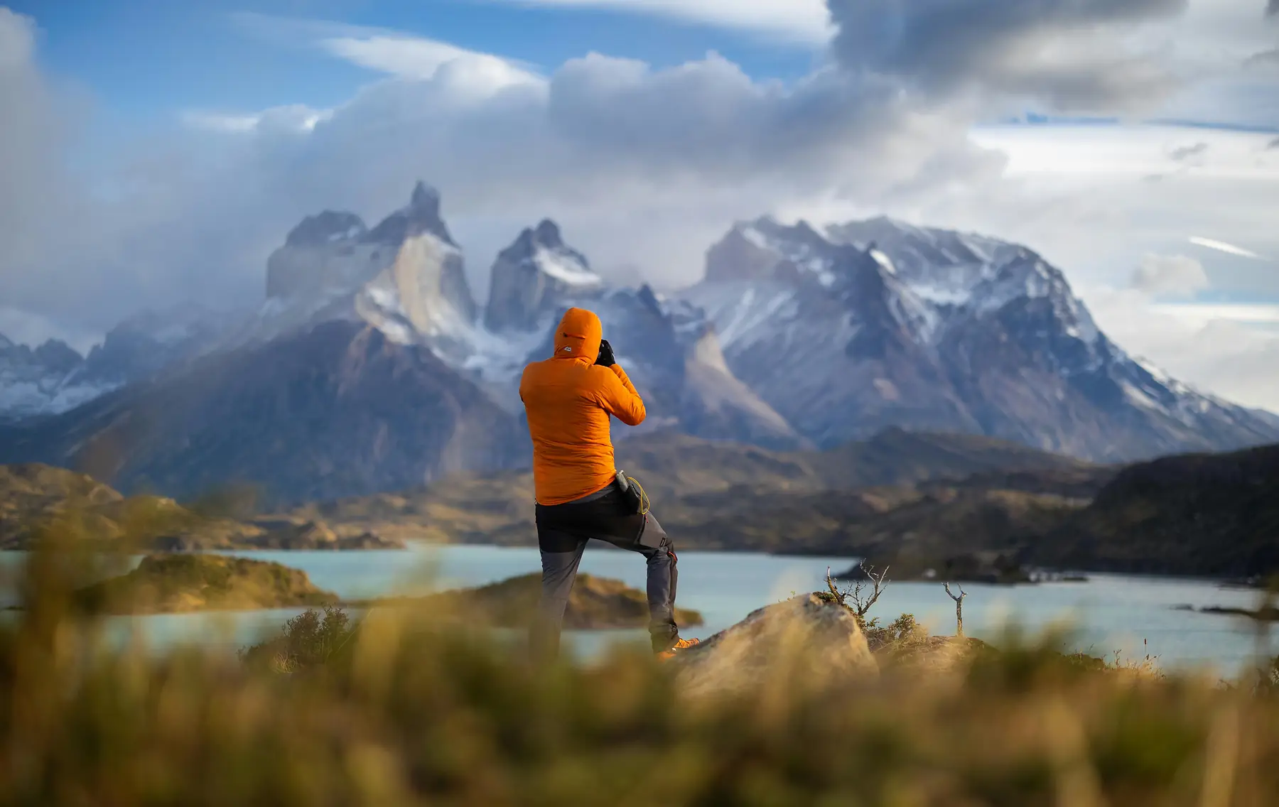
The W Trek map covers approximately 80 kilometers (50 miles) of trail, forming a distinct “W” shape through the heart of Torres del Paine National Park. This route is the spatial foundation of every trekker’s journey, connecting the three granite towers in the east to the massive Grey Glacier in the west. For the route, trail-night, and booking decisions behind the map, see the W Trek planning guide.
Understanding the layout of the three main valleys - Ascencio, French, and Grey - is essential for planning daily mileage and securing the correct campsite reservations. This guide provides the definitive spatial data for the 2026/27 season, including high-resolution trail segments, vertical gain profiles, and transport nodes.
Interactive Torres del Paine W Trek Map
The W Trek is a linear route with three northern “spurs” that head deep into the mountain range. The map below identifies the primary trailheads at Refugio Paine Grande in the west and the Laguna Amarga/Central sector in the east.
Click on this map to understand what each marker represents, and toggle any markers off using the legend at the bottom.
This map should be used to give you a basic understanding of the makeup of the W Trek. The West-to-East route typically starts at the catamaran in the southern part of the map, which hikers ride to Refugio Paine Grande. From there, they either do an out-and-back hike to the Glaciar Grey viewpoint and sleep at Paine Grande, or they opt for a five-day, four-night hike and use Refugio Grey as a rest point before making the return journey the following day and continuing the hike eastward.
For a full guide on how these map markers translate into a daily hiking experience with detailed terrain descriptions, view our comprehensive guide below:
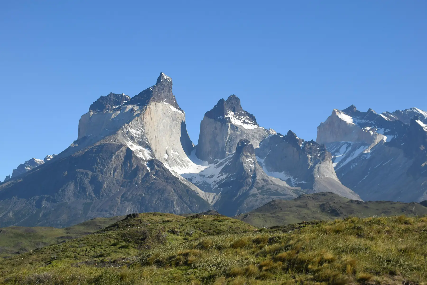
To see a more in-depth map which covers the W Trek in more detail, alongside other routes within Torres del Paine National Park, check out this official map.
W Trek Distance & Hiking Time Chart
Planning a successful itinerary requires accurate data on the distances between refugios. While the total distance is roughly 80km, the “W” is rarely hiked as a single continuous line. Most hikers drop their heavy packs at a base camp (like Refugio Los Cuernos or Camp Italiano) to hike the northern spurs with a lighter daypack.
The following table provides the standard distances and estimated hiking times for the 2026/27 season.
| Segment | Distance (km) | Distance (miles) | Est. Time |
|---|---|---|---|
| Paine Grande to Refugio Grey | 11 km | 6.8 miles | 3.5 - 4 hours |
| Refugio Grey to 2nd Suspension Bridge | 4 km | 2.5 miles | 1.5 hours |
| Paine Grande to Camp Italiano | 7.5 km | 4.7 miles | 2.5 hours |
| Camp Italiano to Mirador Británico | 5.5 km | 3.4 miles | 3 hours |
| Camp Italiano to Refugio Los Cuernos | 5.5 km | 3.4 miles | 2 - 2.5 hours |
| Refugio Los Cuernos to Refugio Chileno | 14 km | 8.7 miles | 4.5 - 5.5 hours |
| Refugio Chileno to Base las Torres | 4 km | 2.5 miles | 2 hours |
Elevation Profile: The Vertical Challenge
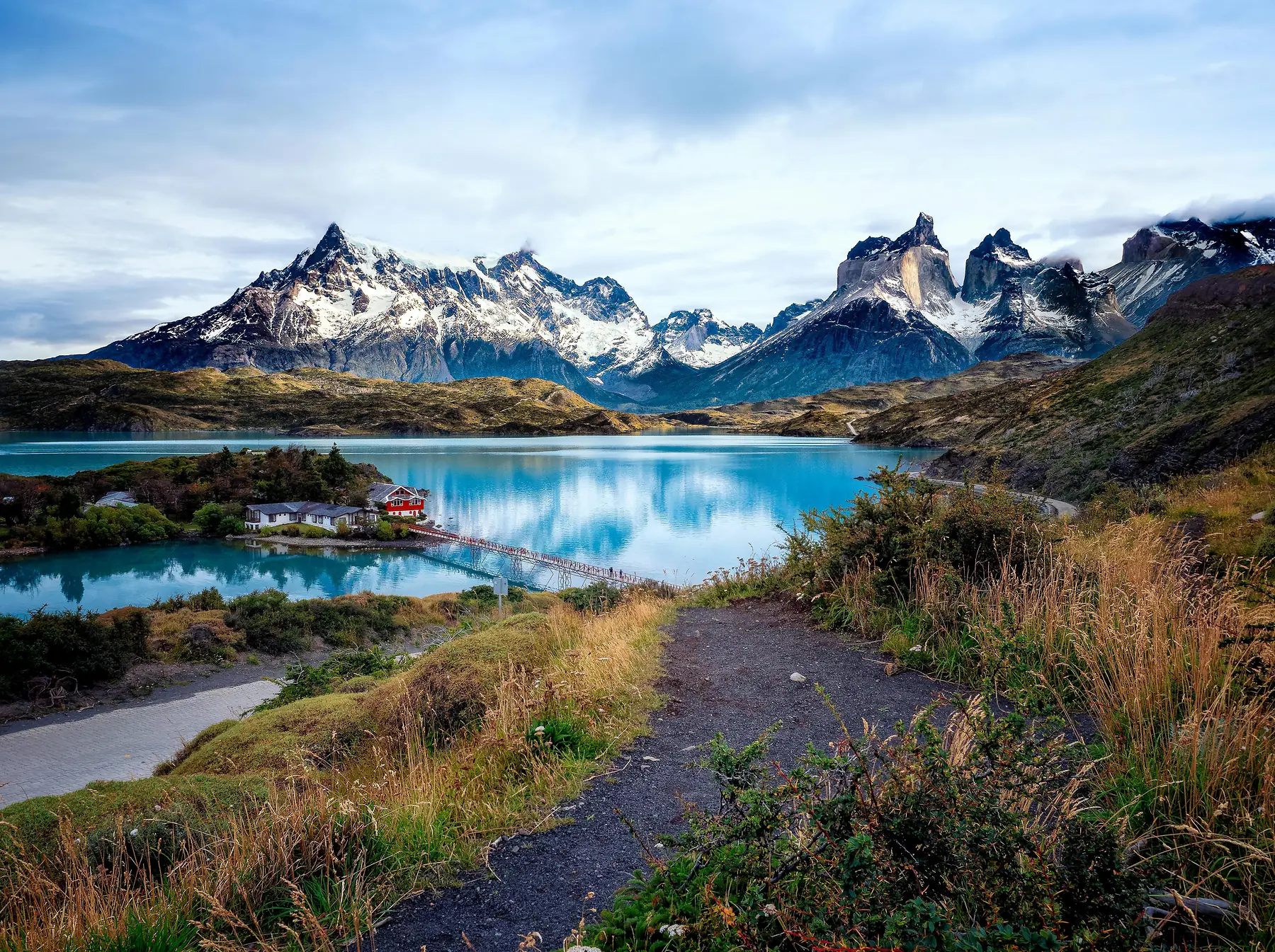
Distance is only half of the story in Patagonia. The W Trek involves approximately 2,730 meters (8,950 feet) of cumulative elevation gain. While the sections between Paine Grande and Refugio Los Cuernos follow the relatively level shores of Lake Skottsberg and Lake Nordenskjöld, the three spurs into the valleys involve significant vertical climbs.
The steepest section of the entire map is the “Moraine” - the final kilometer of the trek to the Base of the Towers. This section gains nearly 300 meters of elevation over a very short distance on loose, rocky terrain. Similarly, the push from Mirador Francés to Mirador Británico is a sustained climb that requires significant effort after the initial ascent from the valley floor.
To understand how this vertical gain impacts the physical requirements of the trek, see our guide on trail difficulty:
Refugio & Campsite Spatial Layout
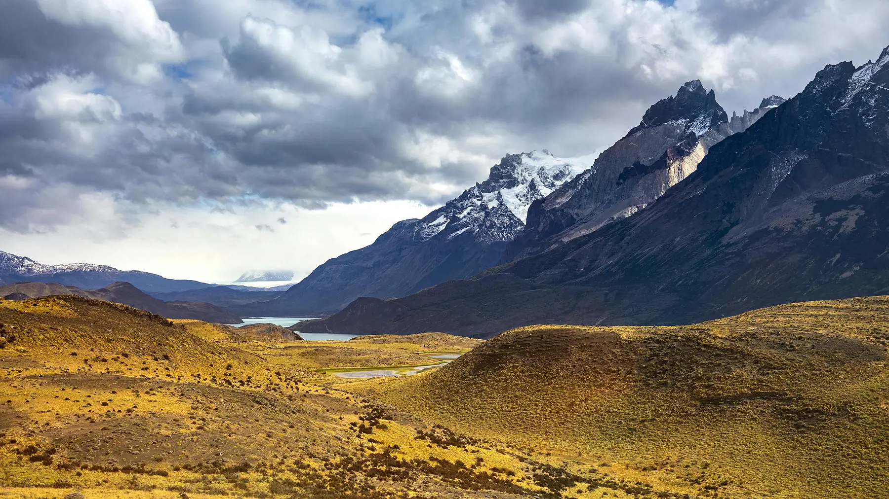
The accommodation on the W Trek is split between two main private operators. Understanding which “cluster” a refugio belongs to is critical for the booking process, as you will likely need to use multiple reservation platforms to complete your map.
The western side of the map (Grey and Paine Grande) is managed by Vértice Patagonia. The eastern and central sections (Cuernos, Francés, Chileno, Central, and Serón) are managed by Las Torres Patagonia. The spatial proximity between Francés and Cuernos is often a point of confusion for hikers - they are only about 3.6km apart, making them easy alternatives for one another if one is fully booked.
Once you have identified your stops on the map, the next step is securing your beds. Check the current availability before committing to transport:

Route Direction: West-to-East vs. East-to-West
The W Trek can be hiked in either direction, and your choice determines which transport nodes you will use to enter and exit the park. The map remains the same, but the “flow” of the journey changes the timing of your daily arrivals.
The West-to-East route typically begins with a catamaran crossing from Pudeto to Refugio Paine Grande. This direction allows hikers to finish with the dramatic sunrise at the Towers. Conversely, the East-to-West route begins at the Laguna Amarga entrance, where a shuttle bus takes hikers to the Central sector. This route is often preferred by those who want to tackle the hardest climb (the Towers) while their legs are freshest on Day 1.
To decide which direction is right for your group, compare the logistical pros and cons here:
Landmarks & Viewpoints Map
Beyond the refugios, several key landmarks serve as essential navigation points and photography stops. These locations are often wind-exposed and require specific timing to enjoy in the best light.
- Paso de los Vientos (Windy Pass): Located shortly after leaving Refugio Chileno toward the Towers, this pass earns its name with fierce gusts that funnel through the Ascencio Valley.
- Mirador Francés: The first major viewpoint in the French Valley, offering a 360-degree view of the “hanging” French Glacier and the granite “horns” of Los Cuernos.
- Skottsberg Lake Viewpoints: The trail between Paine Grande and Italiano offers some of the most iconic “lowland” views of the Paine Massif reflecting in the turquoise water.
- The Suspension Bridges: Located north of Refugio Grey, these bridges provide a dizzying perspective of the deep canyons carved by the Grey Glacier.
Offline W Trek Maps: What to Download Before You Go
While digital maps are useful for planning, cell service is non-existent once you enter the valleys of Torres del Paine. Relying on a live Google Maps connection is a common mistake that leads to navigation errors, because the trail data on general mapping apps is often inaccurate or missing entirely.
So, download the park to your phone while you still have wifi in Puerto Natales. Two apps cover the W Trek properly.
Maps.me is free, and it renders the trails, refugios and campsites of Torres del Paine without a subscription. Download the Magallanes region of Chile while you are connected, and the full route is then available in airplane mode. For straightforward navigation along a well-marked trail, it is enough.
AllTrails carries more detailed trail data, and its paid tier adds downloadable maps along with off-route alerts that warn you when you have wandered from the path. If you are continuing onto the O Circuit, or you want to track your progress against the elevation profile as you climb, the subscription is worth it for the trip.
Whichever you choose, download it before you arrive at the park. There is no reliable signal at Laguna Amarga or Paine Grande, and the refugio wifi is slow and heavily oversubscribed in peak season.
It is worth carrying a paper backup as well, because phone batteries drain quickly in the cold. Chilean trail markings are generally consistent, and you should look for yellow or orange blazes on rocks and wooden stakes, but a topographic map remains the most reliable way to track where you are.
FAQ
QUESTION: How many kilometers is the full Torres del Paine W Trek map? ANSWER: The total distance of the W Trek is approximately 80 kilometers (50 miles), including the three main “spur” trails to the Towers, the French Valley, and the Grey Glacier.
QUESTION: What is the highest elevation point on the W Trek map? ANSWER: The highest point on the W Trek is the Mirador Base las Torres, sitting at 870 meters (2,854 feet) above sea level.
QUESTION: Is there a W Trek map with distances between refugios? ANSWER: Yes, the standard W Trek map shows distances ranging from the short 3.6km stretch between Francés and Cuernos to the longer 11km segment between Paine Grande and Refugio Grey.
QUESTION: Can I use Google Maps for the W Trek in Torres del Paine? ANSWER: Google Maps is unreliable for the W Trek due to lack of cell service and inaccurate trail data; it is highly recommended to use a dedicated topographic map or a GPS-enabled offline map.
QUESTION: Where does the W Trek map start and end? ANSWER: The W Trek map typically starts at either the Refugio Paine Grande (reached by catamaran from Pudeto) or the Laguna Amarga entrance (reached by bus/shuttle from Puerto Natales).
QUESTION: Does the W Trek map show where to find drinking water? ANSWER: Specific taps are at refugios. Use designated taps when staff confirms they are potable; otherwise, treat water by boiling it or filtering and disinfecting it according to the product instructions.