
W Trek Itinerary: Day-by-Day Guide
Plan your W Trek day by day. Compare 4-day and 5-day routes, daily distances, hiking times, overnight stops, and West-to-East or East-to-West options.
In this day-by-day guide, we cover the three most popular itineraries for completing the W Trek: the 5-day, 4-night West-to-East and East-to-West routes, and the 4-day, 3-night West-to-East route.
TLDR: Both directions are excellent, but we give slight preference to West to East. Use the 5-day, 4-night itinerary if you want to see Grey Glacier up close and neither time nor money is an issue. Use the 4-day, 3-night itinerary if you want roughly 90% of the trek experience while freeing up time for other excursions.
For an overview of costs, accommodation, and booking, start with our W Trek planning guide.
W Trek at a Glance
- Total Distance: Approximately 80 km (50 miles), depending on accommodation and side trips
- Duration: 4 or 5 days
- Highest Point: Mirador Base Las Torres (approximately 870m / 2,854ft)
- Recommended Direction: West to East
- 5-Day Overnight Order: Grey, Paine Grande, Francés or Cuernos, then Chileno
- 4-Day Overnight Order: Paine Grande, Francés or Cuernos, then Chileno
Understanding the W Trek Route
The trail forms a W across three valleys. The western arm leads toward Grey Glacier, the center climbs into the French Valley, and the eastern arm ends at Mirador Base Las Torres. A base trail beside lakes Pehoé, Sköttsberg, and Nordenskjöld connects the three.
Every night must be reserved at a designated sector. Vértice Patagonia manages Grey and Paine Grande; Las Torres Patagonia manages Francés, Cuernos, Chileno, and Central. Those bookings determine your direction and daily distances, so confirm the entire sequence before paying either operator.
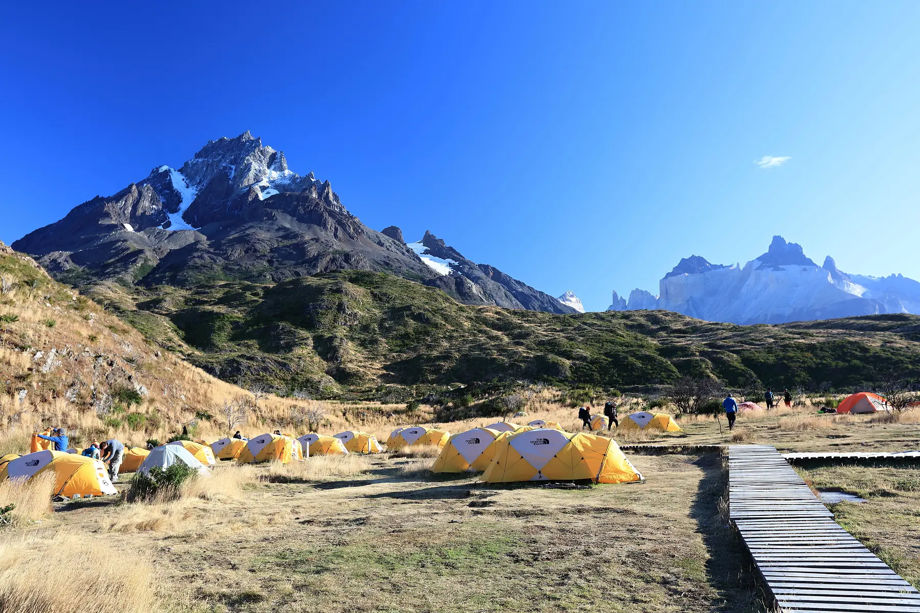
Wild camping is prohibited. Rangers can check reservations at trail checkpoints, and you cannot stay at a sector without a confirmed booking.
For accommodation details, use our dedicated guides:
Choosing Your Direction: West-to-East vs. East-to-West
There’s a lot of debate online around whether West to East or East to West is the best route. We don’t think there’s a right answer, and honestly, it won’t affect your experience too much. However, we do slightly favor West to East. The scenery builds toward the granite towers on your final morning, and the prevailing westerly wind is more likely to be behind you on exposed stretches. The route starts with the Pehoé catamaran from Pudeto to Paine Grande and ends with a shuttle and bus from the Welcome Centre.
East to West is useful when accommodation availability dictates your dates or when you want to climb to the towers with fresh legs on day one. You start at Laguna Amarga and the Welcome Centre, but you are more likely to face the wind and must time your final day around the catamaran from Paine Grande.
- Start: Pehoé catamaran to Paine Grande. (West-to-East)
- Start: Laguna Amarga shuttle to the Welcome Centre. (East-to-West)
- Finish: Mirador Base Las Torres, then shuttle and bus. (West-to-East)
- Finish: Paine Grande catamaran to Pudeto. (East-to-West)
- Wind: Prevailing wind is more often behind you. (West-to-East)
- Wind: Exposed sections are more often into the wind. (East-to-West)
- Pacing: The harder climbs come later in the trip. (West-to-East)
- Pacing: The Towers climb comes first, when your legs are fresh. (East-to-West)
Choose West-to-East for the stronger scenic finish and likely wind advantage. Choose East-to-West for a fresh-legged Towers day or when it fits the available accommodation.
The Classic 5-Day, 4-Night West-to-East Itinerary
This is our sample booking itinerary. Daily distances are approximate because the exact total changes with your accommodation, Grey bridge turnaround, and whether you stop at Mirador Francés or continue to Mirador Británico.
Scroll across to compare every column.
| Day | Route | Distance | Hiking time | Sleep |
|---|---|---|---|---|
| 1 | Paine Grande to Grey | About 11 km / 6.8 mi | 3.5 - 4.5 hours | Grey |
| 2 | Grey to the second suspension bridge, then Paine Grande | About 19 km / 11.8 mi | 6 - 7 hours | Paine Grande |
| 3 | Paine Grande to Mirador Británico, then Francés or Cuernos | About 20 - 24 km / 12.4 - 14.9 mi | 8 - 10 hours | Francés or Cuernos |
| 4 | Francés or Cuernos to Chileno | About 14 - 18 km / 8.7 - 11.2 mi | 5 - 7 hours | Chileno |
| 5 | Chileno to Mirador Base Las Torres, then the Welcome Centre | About 13 km / 8.1 mi | 6 - 8 hours | Exit |
Day 1: Paine Grande to Grey
Take the morning bus from Puerto Natales to Pudeto, then cross Lake Pehoé by catamaran to Paine Grande. The trail toward Grey climbs through a narrow, exposed valley where strong gusts can funnel between the hills. After roughly 1.5 to 2 hours, the broad Grey viewpoint reveals the glacier, the Southern Patagonian Ice Field, and blue icebergs on the lake.
The final stretch descends through lenga forest, where the air often feels cooler near the ice. Stay at Sector Grey. The 11 km figure ends at the refugio; walking beyond it to a bridge or glacier lookout adds distance.
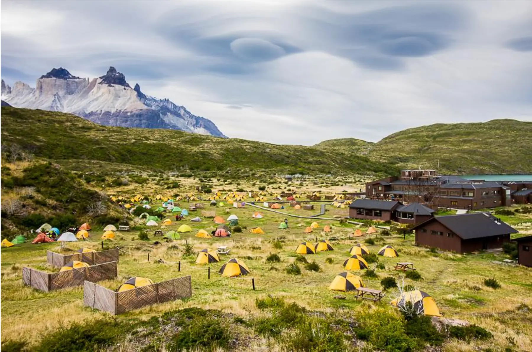
Day 2: The Grey Suspension Bridges and Paine Grande
Leave your main pack at Grey and walk north toward the suspension bridges. The first is close to the refugio, while the second is roughly 4 km away and gives the stronger view across the glacier’s crevassed surface. The trail continues toward a third bridge and the O Circuit, but the second bridge is the sensible turnaround for this itinerary.
Return to Grey, collect your pack, and retrace the 11 km trail to Paine Grande. The full day is about 19 km if you reach the second bridge. Turning around at the first bridge shortens it.
Day 3: The French Valley
Walk 7.5 km from Paine Grande to Campamento Italiano. Leave your main pack in the designated pack-drop area, keeping your passport, money, and electronics with you. The trail then climbs through root-filled forest to Mirador Francés, directly opposite the hanging French Glacier. Icefall often announces itself with a crack before you see it.
If the weather and your pace allow, continue to Mirador Británico. It sits in a granite amphitheater with views of Cerro Hoja, Cerro Máscara, and the back of Los Cuernos. Descend to Italiano, collect your pack, and continue to Francés or Cuernos. Francés makes the day shorter; Cuernos adds about 3.6 km but reduces the next day’s walk.
On the West-to-East route, the approach from Paine Grande also skirts Lago Sköttsberg and crosses the fire-scarred Dead Forest before you reach Italiano.
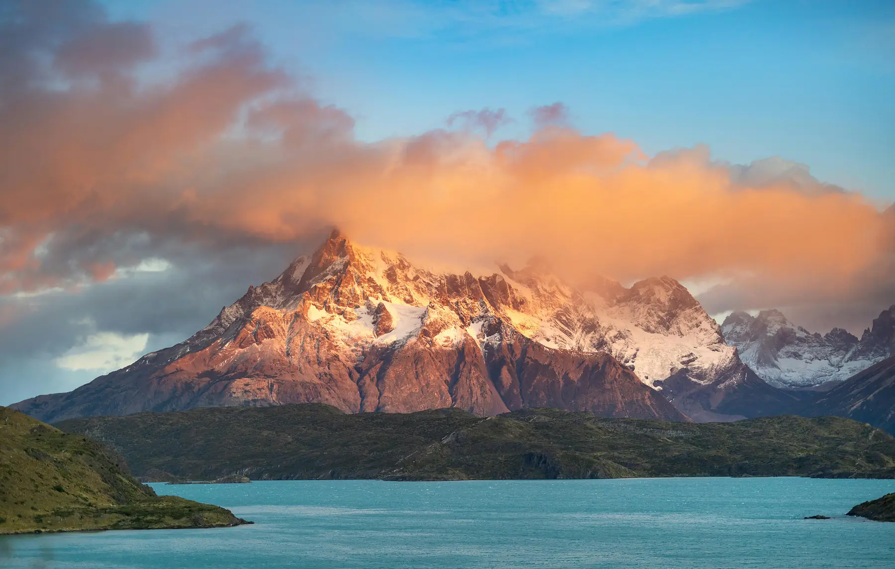
The pack drop at Italiano is commonly used but unsupervised. Keep valuables in your daypack while you hike into the valley.
Day 4: Lago Nordenskjöld to Chileno
This rolling traverse is sometimes described as “Patagonian flat.” There is no major pass, but the short climbs and descents add up. The trail follows the turquoise water of Lago Nordenskjöld beneath the dark-capped granite of Los Cuernos, crossing streams and exposed slopes where lake winds can be strong.
Finish at Chileno if you want the shortest approach to Mirador Base Las Torres the next morning. Central is a more comfortable fallback when Chileno is unavailable, but it adds roughly two hours to the Towers day.
Day 5: Mirador Base Las Torres and Exit
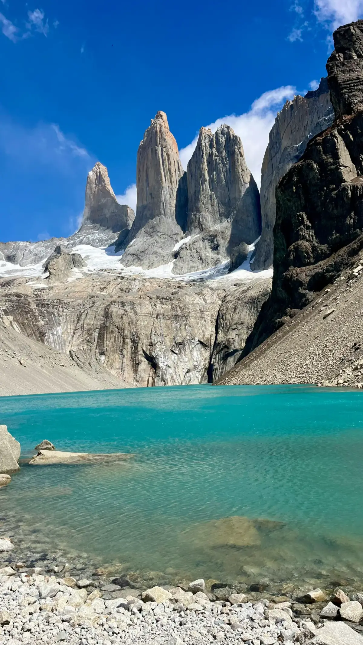
From Chileno, the trail enters sheltered lenga forest before the final moraine. The last 45 minutes climb steeply over large granite boulders, and trekking poles are especially useful on the descent. The route ends at a turquoise glacial lake beneath the three towers.
Many hikers leave before dawn, though a clear daytime forecast is more valuable than sunrise color in cloud. Return to Chileno for your pack, descend to the Welcome Centre, and take the shuttle to Laguna Amarga for the bus to Puerto Natales.
Use our W Trek booking guide to reserve the four trail nights in this order: Grey, Paine Grande, Francés or Cuernos, then Chileno. For a full budget, see our W Trek cost guide. If you prefer to have accommodation and transport arranged, compare guided and self-guided W Trek packages.
The 4-Day, 3-Night West-to-East Alternative
For a shorter and cheaper trip, we recommend dropping the night at Grey. The three-night booking sequence is Paine Grande, Francés or Cuernos, then Chileno.
Scroll across to compare every column.
| Day | Route | Distance | Sleep |
|---|---|---|---|
| 1 | Catamaran to Paine Grande, Grey viewpoint out and back | About 11 - 15 km / 6.8 - 9.3 mi | Paine Grande |
| 2 | Paine Grande to Mirador Británico, then Francés or Cuernos | About 20 - 24 km / 12.4 - 14.9 mi | Francés or Cuernos |
| 3 | Francés or Cuernos to Chileno | About 14 - 18 km / 8.7 - 11.2 mi | Chileno |
| 4 | Chileno to Mirador Base Las Torres, then the Welcome Centre | About 13 km / 8.1 mi | Exit |
On day one, leave your main pack at Paine Grande and follow the Grey trail to a panoramic lookout before returning. The 11 - 15 km range reflects the viewpoint you use. Do not plan to reach Refugio Grey or the suspension bridges: Paine Grande to Grey alone is 11 km each way, and the second bridge is another 4 km north of the refugio.
The tradeoff is straightforward. You keep a broad view of Grey Glacier and its icebergs but lose the close-up perspective from beside the glacier and the suspension bridges. You also save one accommodation night and a full day. This makes the four-day route our preferred option for a shorter Patagonia itinerary, provided you are comfortable with a long French Valley day.
If weather or fatigue catches up with you, turn around at Mirador Francés instead of continuing to Mirador Británico. This cuts roughly 2 - 3 hours of climbing from day two.
The 5-Day East-to-West Itinerary
The trail itself is the same, but the transport timing and physical rhythm change. The Towers climb comes first, the prevailing wind is more likely to be in your face, and the final day must fit the Paine Grande catamaran schedule.
- Day 1: Enter through Laguna Amarga, take the shuttle to the Welcome Centre, and hike to Mirador Base Las Torres. Descend to Chileno for the night. The final moraine is steep and rocky, so take care on the descent.
- Day 2: Follow the rolling Lago Nordenskjöld trail from Chileno to Cuernos or Francés. Expect exposed lake winds and repeated short climbs.
- Day 3: Hike into the French Valley with a light daypack, visiting Mirador Francés and, if conditions allow, Mirador Británico. Collect your main pack at Italiano and continue to Paine Grande.
- Day 4: Walk 11 km from Paine Grande to Grey, passing the panoramic glacier viewpoint before descending through lenga forest. Stay at Grey.
- Day 5: Hike north to the suspension bridges, return to Grey for your pack, then walk 11 km back to Paine Grande. Allow about 19 km if you turn around at the second bridge, and leave enough time for the catamaran to Pudeto.
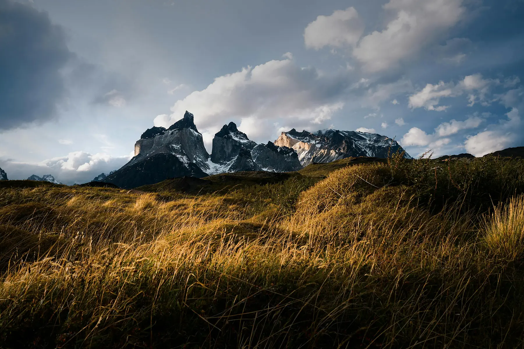
Check the current Pehoé catamaran timetable before setting your day-five turnaround time. Missing the final sailing can leave you with an unplanned night at Paine Grande.
Entry and Exit Logistics
West-to-East hikers stay on the Puerto Natales bus past Laguna Amarga to Pudeto, then take the Pehoé catamaran to Paine Grande. East-to-West hikers leave the bus at Laguna Amarga and use the shuttle to the Welcome Centre.
At the eastern end, the shuttle between the Welcome Centre and Laguna Amarga is separate from the Puerto Natales bus. At the western end, the catamaran schedule changes seasonally and can be affected by weather. Check both connections when you confirm your accommodation dates.
QUESTION: How many days are needed to hike the Torres del Paine W Trek?
ANSWER: Five days and four nights gives you the complete route, including a night at Grey and time for the suspension bridges. Fit hikers with a shorter schedule can complete a four-day, three-night version by visiting a panoramic Grey viewpoint from Paine Grande and dropping the Grey overnight.
QUESTION: Which direction is best to hike the Torres del Paine W Trek?
ANSWER: We recommend West to East because the route builds toward Mirador Base Las Torres and more often puts the prevailing wind behind you. East to West works well when accommodation availability is better or you want to climb to the towers with fresh legs.
QUESTION: What do I miss on a 4-day W Trek itinerary?
ANSWER: You still see Grey Glacier from a panoramic viewpoint on the trail from Paine Grande, but you miss the closer glacier views and suspension bridges beyond Refugio Grey.
QUESTION: Can I see the sunrise at the towers on a 4-day W Trek itinerary?
ANSWER: Yes. On the West-to-East route, stay at Chileno on night three and climb to the viewpoint before dawn on day four. Weather can obscure the sunrise, so check the forecast before committing to an early start.
QUESTION: Do I need to book my W Trek itinerary in advance?
ANSWER: Yes. Your route is dictated by campsite or refugio reservations across Vértice and Las Torres Patagonia, and the linked nights can sell out months ahead.
QUESTION: What is the hardest day on this W Trek itinerary?
ANSWER: For most hikers, the French Valley day is the hardest because it combines a long distance with the steep climb to Mirador Británico. The final moraine below Mirador Base Las Torres is the steepest individual section.
QUESTION: Is the W Trek easy to navigate without a guide?
ANSWER: The route is well marked with signs and yellow-topped stakes at major junctions, but you should still carry a physical map or offline digital map and check ranger advice when weather closes in.