
To reach the Carretera Austral, you must first choose between three primary gateways - Puerto Montt for the northern start, Balmaceda for the central highlights, or the border crossings from Argentina for the southern reaches. While the route is Chile’s final frontier, modern flight and ferry connections have made this 1,240km wilderness more accessible than ever for the 2026/27 season.
The Carretera Austral is not a single road you simply “hop on.” It is a logistical puzzle of fjords, mountain passes, and unpaved tracks. Your entry point dictates your entire itinerary, as the lack of lateral roads means once you are on the route, you are committed to traveling either north or south.
Choosing Your Gateway: The Three Ways In
Selecting where to begin depends entirely on your available time and which specific landscapes you want to prioritize. Because of the linear nature of Ruta 7, most travelers choose a gateway that allows them to move in one direction rather than backtracking.
The Northern Gateway (Puerto Montt) is the traditional starting point for those intending to drive the full length of the road. The Central Gateway (Balmaceda) is the strategic choice for travelers with 7 to 10 days who want to reach the Marble Caves and Cerro Castillo quickly. The Southern Gateway (Villa O’Higgins or Chile Chico) serves those entering from Argentine Patagonia, often as part of a larger multi-country loop.
- Best For: Full road trip; Pumalín Park; rafting in Futaleufú (Puerto Montt)
- Best For: Marble Caves; Cerro Castillo; 7-10 day trips (Balmaceda)
- Best For: Multi-country loop from Argentine Patagonia (Argentina Borders)
- Primary Transport: Fly to PMC, then rental car or Bimodal ferry (Puerto Montt)
- Primary Transport: Fly to BBA, then rental car from Coyhaique (Balmaceda)
- Primary Transport: Bus or car via Chile Chico or Villa O’Higgins (Argentina Borders)
- Access Difficulty: Moderate - requires ferry coordination (Puerto Montt)
- Access Difficulty: Easy - direct flights from Santiago (Balmaceda)
- Access Difficulty: Hard - remote border crossings on gravel roads (Argentina Borders)
- Seasonal Note: Open year-round, but ferries fill up fast in January (Puerto Montt)
- Seasonal Note: Year-round flights; best road conditions Nov–Mar (Balmaceda)
- Seasonal Note: Some crossings close in winter (Argentina Borders)
Choose Puerto Montt for the full 1,240km experience, or Balmaceda if you only have one week to see the highlights.
When planning your entry, consult our Carretera Austral map to visualize these gateways. You should also consider seasonal weather patterns, as winter (May - September) can see heavy snow on the high passes near Coihaique, making the central and southern entries significantly more challenging.
Flying to the Carretera Austral: Major Airports & Routes
Flying is the fastest way to reach the region from Santiago. Most travelers use one of two main airports, which are served by daily jet flights. For the 2026/27 season, competition between carriers remains high, keeping prices relatively stable if booked in advance.
El Tepual International Airport (PMC) in Puerto Montt is the primary logistical hub. It is served frequently by LATAM, Sky Airline, and JetSmart. This is the best place to pick up a rental car if you intend to drive south through the Lake District and into the northern fjords.
Balmaceda Airport (BBA) is the only airport in the heart of the Carretera Austral capable of handling large commercial jets. It sits on a windswept plateau 55km east of Coyhaique.
If your goal is to see the Marble Caves at Puerto Río Tranquilo, flying to Balmaceda saves you two full days of driving from the north. For a professional logistics setup, book a “multi-city” flight - fly into Puerto Montt and out of Balmaceda (or vice versa) to avoid a long, repetitive drive back to your starting point.
For more adventurous travelers, small-craft operators like Aerocord and Pewen fly from Puerto Montt to regional airstrips in Chaitén and Melinka. These flights offer spectacular views of the Andes but are highly weather-dependent and use 9-15 passenger planes with strict luggage limits.
Reaching the Route by Sea: The Ferry Network
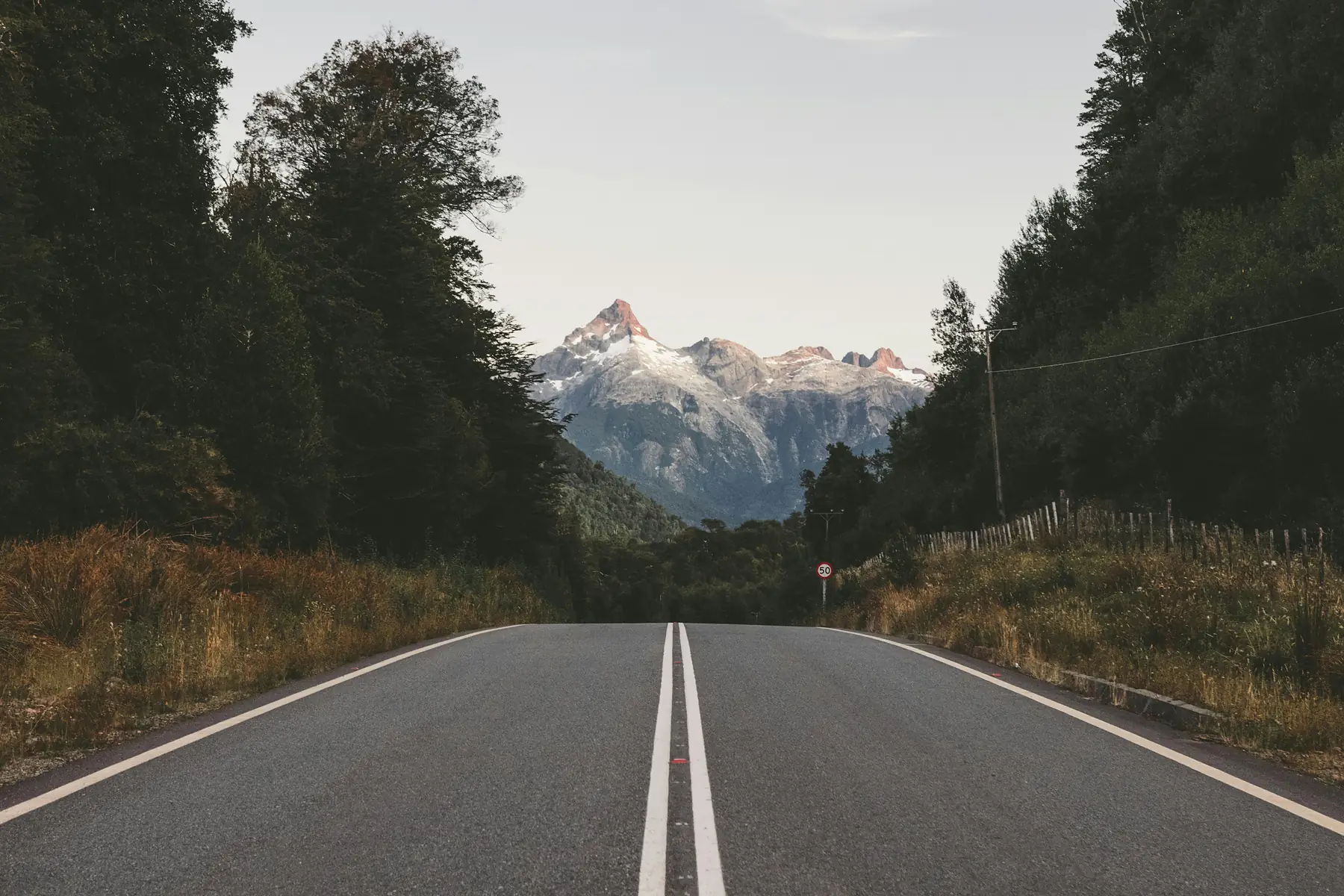
Because the geography of northern Aysén is fractured by deep fjords, the ferry network is a mandatory part of the “road” trip. For many, these sea crossings are the highlight of the journey, offering views of hanging glaciers and temperate rainforests that are invisible from the pavement.
The Bimodal Route (Ruta Bimodal) is the most popular sea entry. It connects Puerto Montt to Chaitén through a sequence of two main ferry crossings - the Caleta La Arena to Caleta Puelche crossing (operated by Transportes del Estuario) and the longer Hornopirén to Caleta Gonzalo stretch.
The Hornopirén to Caleta Gonzalo stretch is the bottleneck of the Bimodal Route. During January and February, you must book this specific ferry at least 3-4 weeks in advance. Without a reservation, you may wait 48 hours or more in Hornopirén for a standby space.
For the 2026/27 season, Somarco remains the primary operator for the Hornopirén to Caleta Gonzalo subsidized route, while Naviera Austral provides an alternative direct ferry service from Puerto Montt to Chaitén.
If you prefer a slower, more scenic entry, the Navimag ferry runs from Puerto Montt to Puerto Chacabuco (near Coyhaique). This is a 24-hour journey through the Patagonian channels. It functions more like a basic cruise than a commuter ferry, with cabins and meal services, making it an excellent way to rest before starting a long drive.
Before you board, ensure you have the right gear for the damp, windy decks of the Aysén fjords.
Driving to the Carretera Austral: Road Access
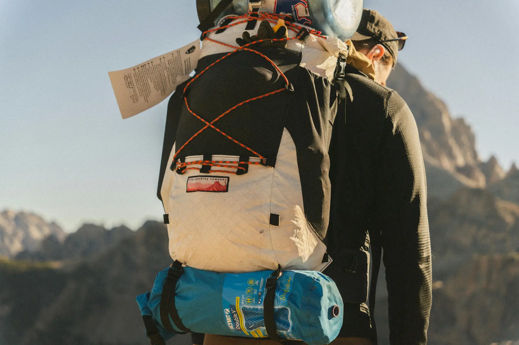
Driving onto the route from the north involves a transition from the paved highways of the Lake District to the rugged gravel of Ruta 7. The journey typically begins in Puerto Varas or Puerto Montt, heading south toward Hornopirén.
While the northern sections are increasingly paved, the road remains a frontier environment. One critical rule for drivers is to fuel up at every opportunity in the gateway cities. Puerto Montt and Coyhaique have reliable, large-scale service stations, but as you move deeper into the route, fuel availability becomes sporadic and stations can occasionally run dry during peak summer weeks.
Do not rely on the “Argentine Shortcut” during winter months. While entering via Paso Huemules (from Comodoro Rivadavia) to Coyhaique is faster on paper, the border pass can close for days during heavy snow, leaving you stranded on the Atlantic side.
The southern entry via Los Antiguos (Argentina) to Chile Chico is the most common way for those coming from Ruta 40 to reach the Carretera. The road on the Chilean side of this border is narrow and carved into the cliffs above Lago General Carrera, requiring slow, careful driving.
Entering from Argentina: Key Border Crossings
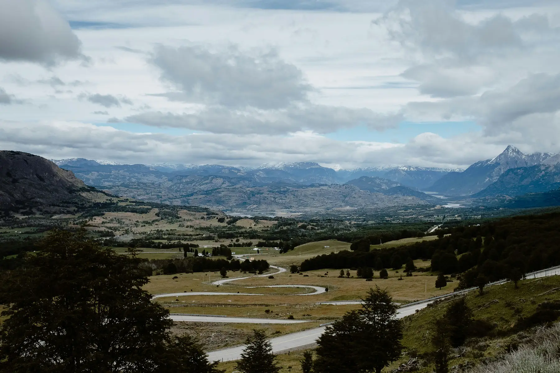
Many travelers combine the Carretera Austral with a trip through Argentine Patagonia. There are several strategic points where you can cross the Andes to join Ruta 7.
Futaleufú is the premier northern entry from Argentina. Located near the town of Esquel, this crossing is popular with rafters and those looking to explore the northern section of the Carretera. Once you cross here, you are roughly midway between Chaitén and Puyuhuapi.
Further south, the Chile Chico crossing links the Argentine town of Los Antiguos to the central Carretera. This is the essential link for travelers coming from the El Calafate region who want to see the Marble Caves without driving all the way around the northern fjords.
For trekkers, the “unconnected” border between Villa O’Higgins and El Chaltén is a legendary route. It involves a ferry across Lago O’Higgins, a 22km hike or mountain bike ride across the border, and a second ferry across Lago del Desierto. This route is strictly seasonal, typically operating from November to April.
If you are driving a Chilean rental car into Argentina to reach these crossings, you must have a specific permit known as “Anexo 1” or “Permiso Internacional.” This must be arranged with your rental agency at least 10 days before your trip, as it involves notarized documents and additional insurance.
Public Transport: Reaching the Route by Bus
It is possible to reach the Carretera Austral by bus, but it requires patience and a “stage-by-stage” approach. There is no single “Carretera Austral Express” that runs the full 1,240km.
You can take a direct, high-comfort bus (Cama or Semi-Cama) from Santiago to Puerto Montt, a journey of approximately 12-13 hours. From Puerto Montt, smaller regional buses like those operated by Kemel Bus run the Bimodal Route to Chaitén.
International bus connections are also available:
- Bariloche to Puerto Montt: Daily services via the Paso Cardenal Samoré.
- Esquel to Futaleufú: Short hop buses that connect at the border.
Once you are on the route, you will need to “bus-hop” between towns. Buses often leave early in the morning and may only run 2-3 times a week for certain remote stretches. For more details on how to string these connections together, see our Carretera Austral itineraries.
Car Rental Logistics for Reaching the Route
Picking up and dropping off a vehicle is the most significant expense of reaching the Carretera Austral. Most travelers pick up their cars at Puerto Montt Airport or Balmaceda Airport.
The “One-Way Fee Trap” is a major consideration. If you pick up a car in Puerto Montt and drop it off in Balmaceda (or vice versa), expect to pay a significant drop-off fee.
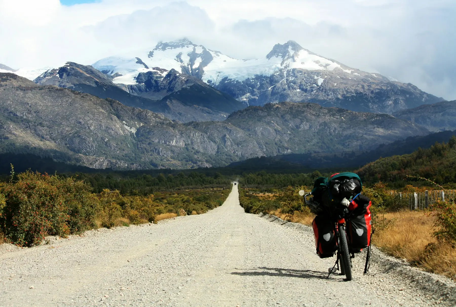
Despite the cost, this is often cheaper than the fuel, ferry fees, and time required to drive the car all the way back to your starting point. Always confirm that your rental agreement allows for driving on unpaved roads, as the southern half of the Carretera remains largely gravel.
To start planning your specific path through the region, we recommend looking at our route guides.


FAQ
-
QUESTION: What is the best airport for the Carretera Austral?
-
ANSWER: The best airport depends on your itinerary; fly into Puerto Montt (PMC) for the full northern route or Balmaceda (BBA) to access the central Marble Caves region quickly.
-
QUESTION: Can I fly from Santiago to the Carretera Austral?
-
ANSWER: Yes, there are multiple daily flights from Santiago to both Puerto Montt and Balmaceda operated by LATAM, Sky Airline, and JetSmart.
-
QUESTION: How do I get to the Carretera Austral from El Chaltén?
-
ANSWER: Trekkers can reach the Carretera Austral from El Chaltén by taking a ferry across Lago Desierto, followed by a 22km hike or mountain bike ride to reach the ferry for Villa O’Higgins.
-
QUESTION: Is there a ferry from Puerto Montt to the Carretera Austral?
-
ANSWER: Several ferries connect Puerto Montt to the Carretera Austral, including the Bimodal route to Chaitén and the long-haul Navimag ferry to Puerto Chacabuco.
-
QUESTION: Do I need a 4x4 to drive to the Carretera Austral?
-
ANSWER: While a 4x4 is not strictly required for the main Carretera Austral road, a high-clearance vehicle is strongly recommended for the unpaved southern sections and side roads.
-
QUESTION: How do I get from Bariloche to the Carretera Austral?
-
ANSWER: You can reach the Carretera Austral from Bariloche by crossing the border at Paso Cardenal Samoré to Osorno/Puerto Montt, or by traveling south to Esquel and entering via Futaleufú.