Weather on the Carretera Austral (Route 7) is the primary factor that dictates your travel logistics, ferry crossings, and road safety. For most travelers, the best time to visit is between December and March, when temperatures are mildest and daylight hours are at their peak, though rain remains a possibility in every month of the year.
Planning a trip along this 1,240-kilometer route requires a shift in mindset. You are not checking a forecast to see if it will rain; you are checking to see how the inevitable moisture and wind will affect your ability to move between destinations. This guide provides the regional nuance and seasonal data needed to plan a successful journey through the heart of Chilean Patagonia.
Carretera Austral Weather at a Glance
- Warmest Months: January and February (13°C to 20°C)
- Rainiest Sector: Northern Carretera (Chaitén and Puyuhuapi)
- Windiest Sector: Southern Steppe (Cochrane to Villa O’Higgins)
- Peak Daylight: 15+ hours in December
- Primary Risks: Ferry cancellations, mudslides, and snow on high passes
The Carretera Austral Climate: An Overview
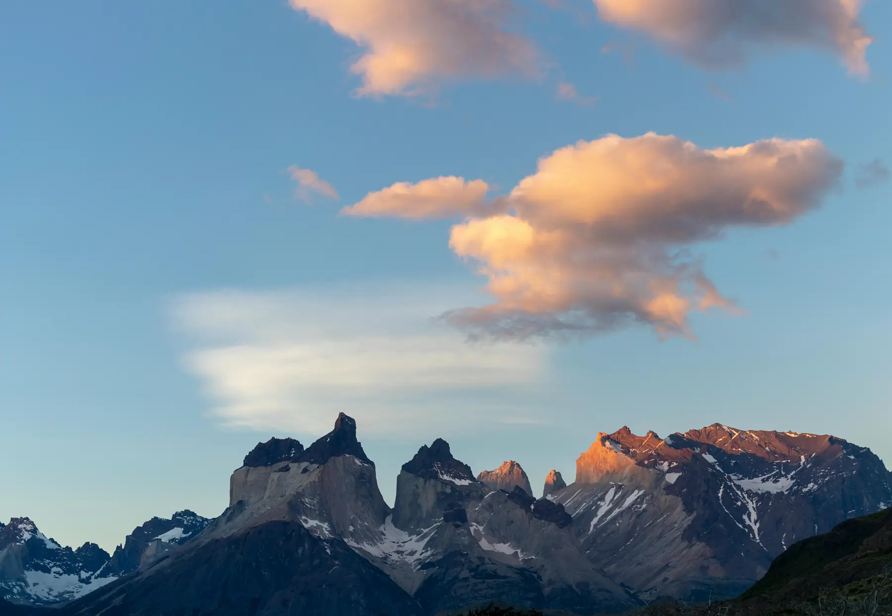
The climate of the Carretera Austral is defined by its verticality and its relationship with the Pacific Ocean. As moisture-laden air travels east from the sea, it hits the massive wall of the Andes, forcing it upward where it cools and releases intense precipitation. This creates a distinct regional split that every traveler should understand before booking their vehicle.
In the north, destinations like Chaitén and Puyuhuapi sit within a temperate rainforest. Here, the weather is humid and lush, with annual rainfall often exceeding 3,000mm. As you move south toward Cochrane and Villa O’Higgins, the landscape transitions. The southern sector is influenced by the proximity of the Northern and Southern Ice Fields, leading to drier but significantly windier conditions.
The “Four Seasons in One Day” cliché is a literal reality here. A morning of clear blue skies can transition into a horizontal rainstorm and back to sunshine within two hours. This volatility is driven by the “Westerlies,” the constant winds that sweep across the southern latitudes. These winds are a permanent feature of the region, not a temporary weather event, and they play a decisive role in how cold you will actually feel regardless of what the thermometer says.
Best Time to Visit the Carretera Austral
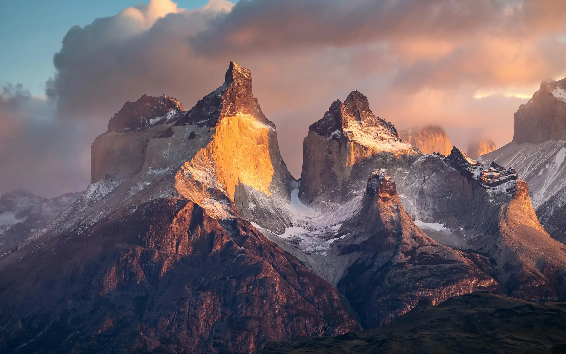
Choosing when to drive Route 7 depends on your tolerance for cold and your desire for solitude. While summer offers the most reliable conditions, the shoulder seasons provide a visual drama that many photographers prefer.
Peak Season (December to February): This is the window for the most stable weather. Temperatures are at their highest, and the long days allow for 14 to 15 hours of driving or hiking. However, this is also when the wind is most aggressive and the “ripio” (gravel) roads are at their busiest, leading to increased dust and traffic.
Shoulder Seasons (October to November and March to April): These months offer the best balance for many travelers. November brings blooming lupines and crisp air, while March offers stable temperatures and the beginning of spectacular autumn colors. Note that by late April, many services begin to close, and the risk of snow on high mountain passes increases significantly.
Low Season (May to September): Travel during the Patagonian winter is only for the most experienced and self-sufficient. Many ferries run on reduced schedules, hotels close for the season, and sections of the road, particularly near Cerro Castillo, can become impassable without 4WD and snow chains.
| Month | Avg Temp (C) | Rainfall | Crowds | Verdict |
|---|---|---|---|---|
| Oct - Nov | 8°C - 14°C | Moderate | Low | Best for wildflowers and solitude. |
| Dec - Feb | 13°C - 20°C | Low/Mod | High | Best for hiking and long days. |
| Mar - Apr | 9°C - 15°C | Moderate | Medium | Best for autumn colors and photography. |
| May - Sep | -2°C - 7°C | High/Snow | Very Low | Only for experienced winter travelers. |
If you are planning a trip during the peak summer months, it is essential to understand how to reach the region and secure your transport early.
To plan your arrival, see our guide on how to get to the Carretera Austral.
Month-by-Month Weather Breakdown
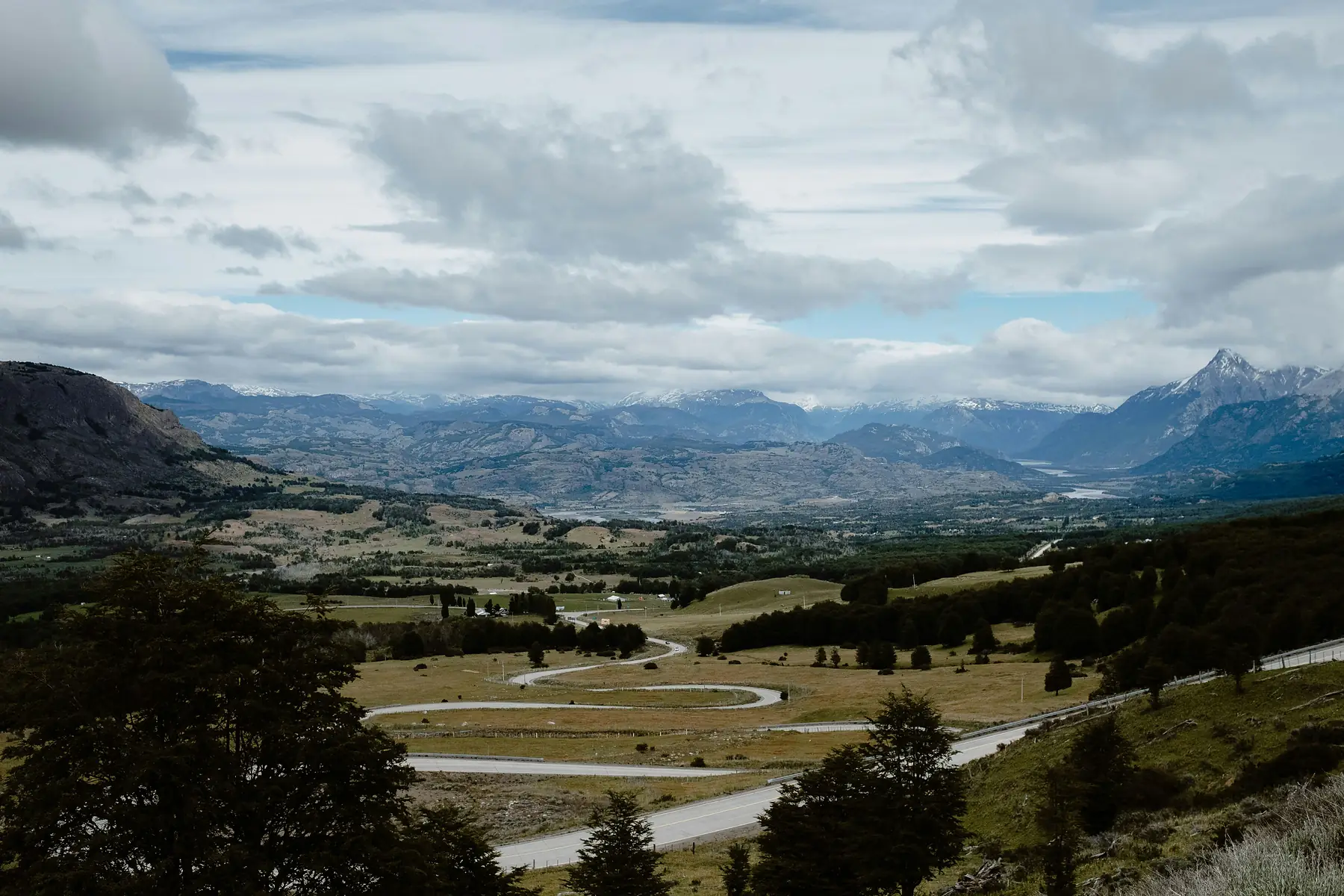
The transition between months on the Carretera Austral is marked more by changes in daylight and wind intensity than by dramatic shifts in temperature.
Spring (September, October, November)
September is often a continuation of winter, especially in the south, with snow still lingering on the peaks. By October and November, temperatures begin to climb into the low teens. These months are known for “spring gales,” where the wind can be particularly erratic as the atmosphere warms.
Summer (December, January, February)
These are the warmest months, with daytime highs reaching 18°C to 20°C in the sun. However, the wind chill factor remains high. This is the “driest” time of year, but in the northern rainforests, you should still expect rain at least two or three days a week.
Autumn (March, April, May)
March is arguably the hidden gem of the Carretera. The summer winds begin to die down, and the weather often settles into a period of calm, clear days. By April, the deciduous Lengas turn deep red, though the days shorten rapidly. May brings the start of the deep rain, with gray, drizzly days becoming the norm.
Winter (June, July, August)
Winter is cold, dark, and damp. High mountain passes like the Queulat Pass and the road around Cerro Castillo frequently see heavy snow. Temperatures in Coyhaique can frequently drop to -5°C or lower at night during cold snaps. Logistics are difficult, as many local businesses use this time to travel or perform maintenance.
Rainfall Patterns: The “Rainy Season” Reality
There is no true dry season on the Carretera Austral; there are only months where it rains less. You must prepare for precipitation regardless of when you visit. The rain here typically takes two forms - the “puelche,” a persistent, fine drizzle that can last for days, or intense, horizontal driving rain that accompanies Pacific fronts.
Rainfall has a direct impact on the region’s most famous activities. For example, heavy rain can cloud the turquoise waters of the Marble Caves, reducing visibility for boat tours. In Queulat National Park, intense rainfall makes the trails to the Hanging Glacier viewpoint extremely muddy and can occasionally cause the park to close for safety.
The northern section of the route (Puerto Montt to Coyhaique) receives significantly more rain than the south. If you are camping, prioritize staying in established sites with “quinchos” (covered shelters) in the north to keep your gear dry.
Wind: The Invisible Logistical Hurdle
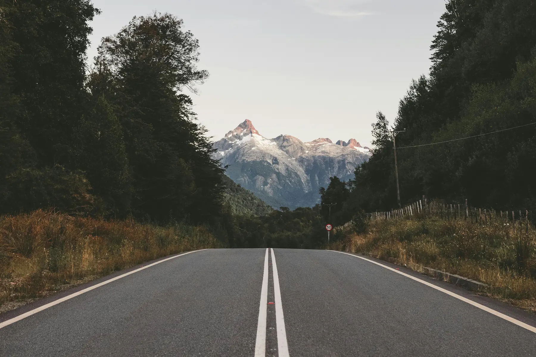
While travelers often worry about rain, it is the wind that causes the most significant logistical disruptions. The Carretera Austral relies on a network of ferries to connect sections of the road, and high winds are the primary cause of service cancellations.
The routes most susceptible to wind-related delays are the Hornopirén to Caleta Gonzalo crossing and the Puerto Yungay to Río Bravo ferry. If sustained winds exceed safety thresholds, the maritime authority (Armada de Chile) will close the ports.
Always build at least one “buffer day” into your itinerary for every ferry crossing you have booked. A single windy afternoon can delay your progress by 24 hours.
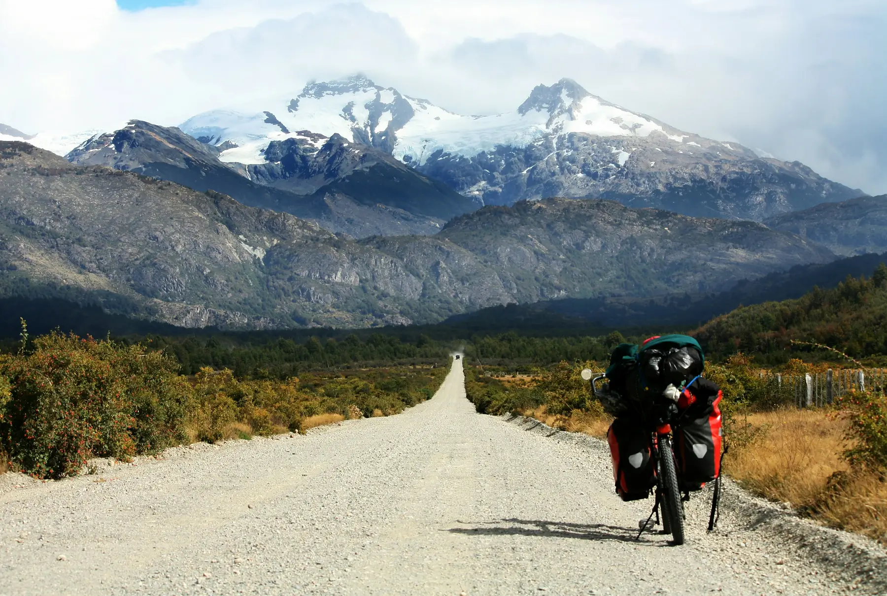
Wind also presents a safety risk for those on two wheels. Cyclists and motorcyclists should exercise extreme caution in exposed sections like the Ibáñez Valley, where side-winds can be strong enough to push a loaded bike into the opposite lane.
For more information on managing your water crossings, check our Carretera Austral Ferry Guide.
Weather Impacts on Road Conditions
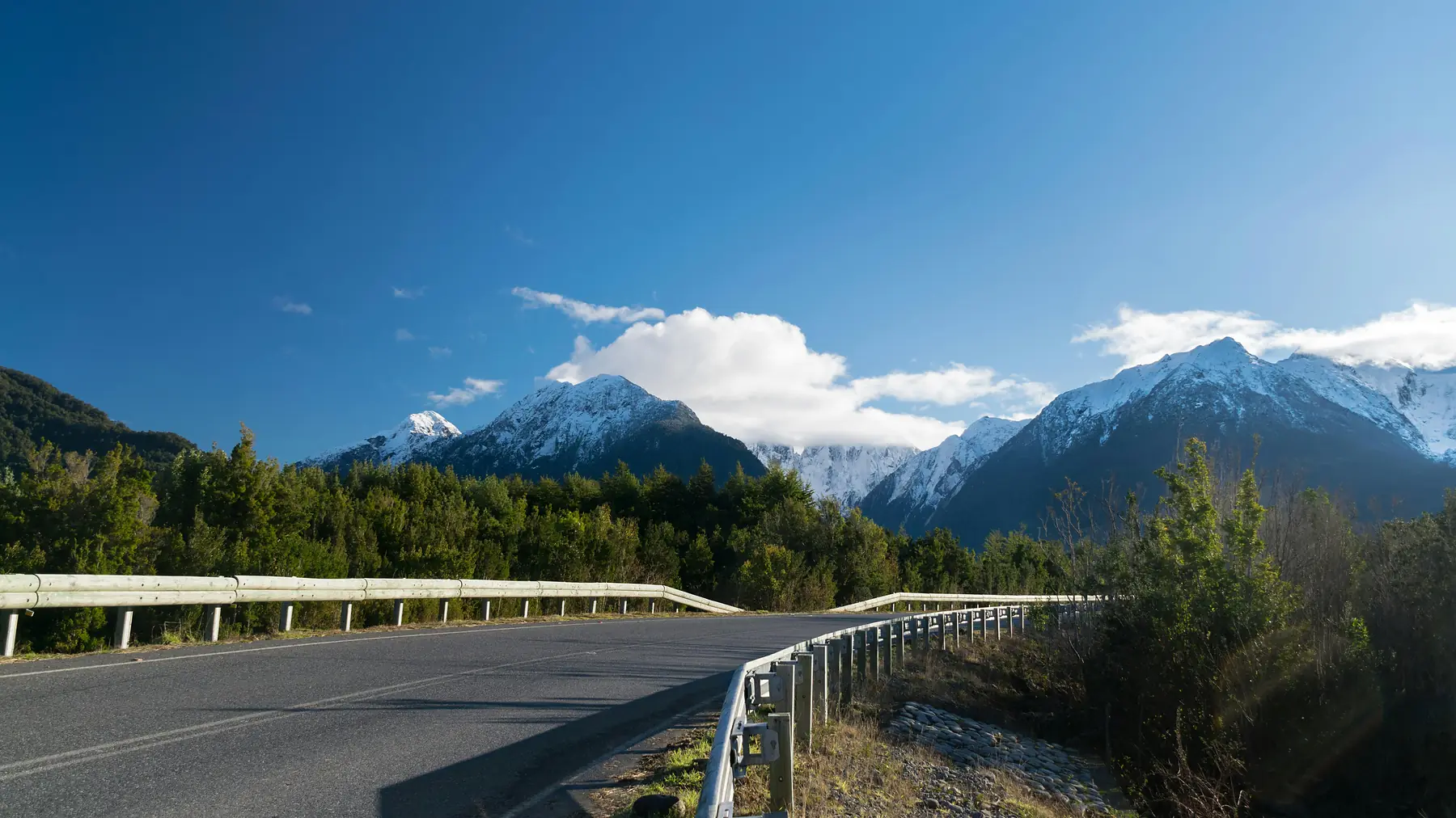
The Carretera Austral is famous for its “ripio” (gravel) surface, which reacts dynamically to the weather. Heavy rain turns the fine dust of the road into a slick, greasy mud that reduces traction and increases the risk of skidding. Conversely, long dry spells in summer create “washboard” ripples that can vibrate bolts loose on smaller vehicles.
Winter brings the most significant hazards. The Queulat Pass, with its tight switchbacks, and the high-altitude section near Cerro Castillo are notorious for ice and snow. In the northern fjords, the combination of steep terrain and saturated soil can lead to “derrumbes” (landslides) after heavy rain, which may close the road for hours or even days.
- Traction: Struggles on wet gravel inclines (2WD Sedan)
- Traction: Superior grip on all surfaces (4WD SUV)
- Clearance: Low to the ground; vulnerable to potholes (2WD Sedan)
- Clearance: Handles potholes and washouts safely (4WD SUV)
- Stability: Can feel “loose” on mud (2WD Sedan)
- Stability: More controlled handling in all conditions (4WD SUV)
- Safety: Adequate for mid-summer on main routes only (2WD Sedan)
- Safety: Essential for shoulder or winter seasons (4WD SUV)
While 2WD is possible in mid-summer, a 4WD vehicle is highly recommended for its better handling in wet mud and its ability to navigate the deep potholes that form after heavy rain.
For a deeper look at navigating these challenges, read our Carretera Austral Driving Guide.
What to Pack for the Carretera Austral Weather
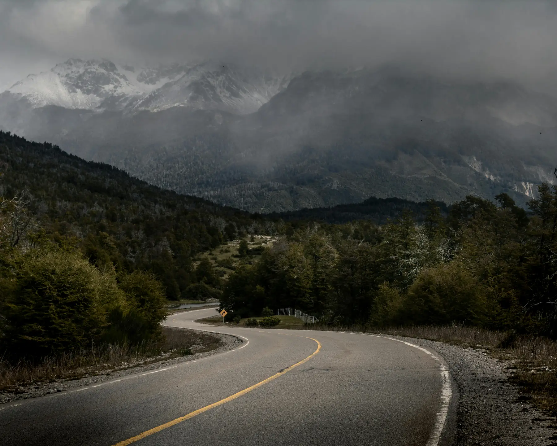
Because the weather is so variable, your packing strategy should focus on versatility and high-tier waterproofing rather than heavy insulation. The key is to have a system that can be adjusted in seconds as you move from a sunny valley into a windy mountain pass.
In the northern rainforests, a standard “water-resistant” jacket will likely fail. You need a technical hardshell with a high waterproof rating to withstand the persistent moisture. In the south, your primary enemy is the wind, so windproof layers are essential even on sunny days.
If you are camping, your tent must be capable of withstanding high-velocity gusts. Many budget tents that perform well in other regions will snap poles or collapse under the pressure of Patagonian winds. Your sleeping bag should be rated for comfort down to at least -5°C, as night temperatures can drop toward freezing even in January.
To see our full gear recommendations, including specific brands and technical specs, visit the Patagonia Packing List.
FAQ
-
What is the best month for Carretera Austral weather? January and February offer the warmest temperatures and most daylight, though March is widely considered the best month for stable weather and autumn colors.
-
How much does it rain on the Carretera Austral? Rainfall varies wildly; northern sections like Puyuhuapi can see over 3,000mm annually, while southern areas like Cochrane are significantly drier but windier.
-
Does it snow on the Carretera Austral during summer? While rare at road level, snow can fall on high mountain passes like Cerro Castillo even in January, and mountain peaks remain snow-capped year-round.
-
Are Carretera Austral ferries canceled due to bad weather? Yes, high winds frequently cause cancellations or delays for ferries across the Fjords and Lake General Carrera, so travelers should build “buffer days” into their itinerary.
-
Is the Carretera Austral weather too cold for camping in November? Nighttime temperatures in November often hover near freezing (0°C to 5°C), so a high-quality 3-season sleeping bag and wind-resistant tent are essential.
-
How does the Carretera Austral weather affect road safety? Heavy rain can turn gravel sections into slick mud and increase the risk of landslides in the north, while winter snow requires 4WD and often snow chains for mountain passes.