Villa O’Higgins is the definitive southern terminus of the Carretera Austral, a frontier town where the road physically ends and the wilderness of the Southern Patagonian Ice Field begins. For most travelers, it represents either the hard-won finish line of a 1,240-kilometer journey or the starting point for the legendary boat-and-trek border crossing to El Chaltén, Argentina.
This guide provides the logistical blueprint for navigating the town’s unique challenges, from securing a seat on the tiny bush planes from Coyhaique to timing the weather-dependent ferries that connect Chile to Argentina. Whether you are here to stand at the “End of the Road” sign or to trek into the heart of the Andes, Villa O’Higgins requires more preparation than almost any other destination in Patagonia.
Why Villa O’Higgins is the Ultimate Patagonia Frontier
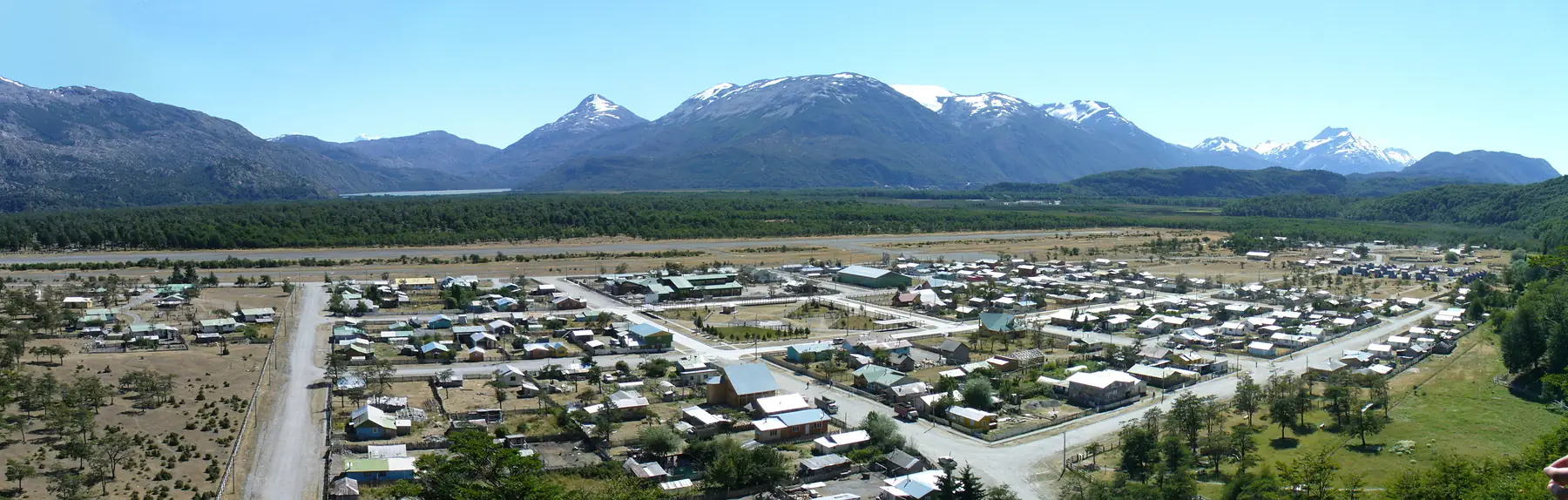
Villa O’Higgins is defined by its isolation, having remained unreachable by road until the final segment of the Carretera Austral was completed in 1999. Before the highway arrived, the few families living here relied entirely on small planes or multi-day horse treks, a history that still informs the town’s resourceful and quiet character.
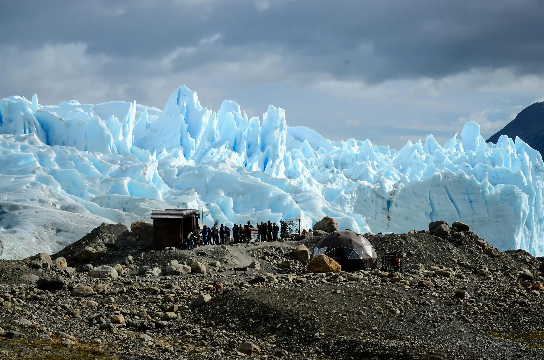
Known as the “Capital of Glaciers,” the town sits at the doorstep of the Southern Patagonian Ice Field, the largest temperate ice mass in the Southern Hemisphere. Unlike the more manicured tourism hubs of Northern Patagonia, Villa O’Higgins feels like a true outpost. It attracts a specific type of traveler - the cyclist who has pedaled the length of Chile, the driver seeking the literal end of the map, and the hiker looking for trails that see more condors than people.
Getting to Villa O’Higgins: The Journey to the Terminus
Reaching Villa O’Higgins requires navigating a logistical bottleneck at the Mitchell Fjord, where all northbound and southbound traffic must share a single ferry. Because of the town’s remote location, travelers should build at least one “buffer day” into their itinerary to account for potential ferry delays or flight cancellations.
For a broader look at how this leg fits into the wider region, see our guide to getting around the Carretera Austral or view the southern sector on our Carretera Austral map.
Driving from the North
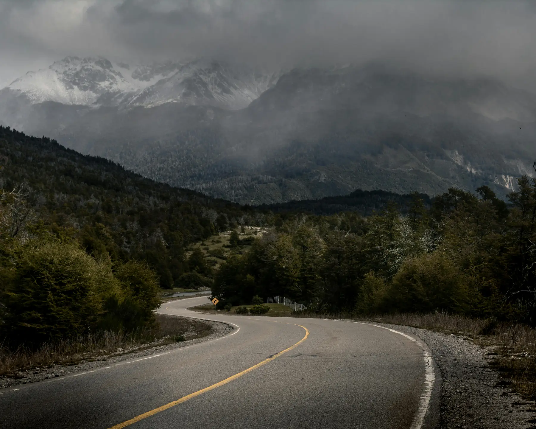
The final 230-kilometer stretch from Cochrane is among the most scenic and rugged parts of the route. You must reach Puerto Yungay to catch the ferry across the Mitchell Fjord to Rio Bravo. This ferry is free of charge and operates on a first-come, first-served basis. During the peak months of January and February, queues can be long; it is wise to arrive at least 90 minutes before the scheduled departure.
The Puerto Yungay ferry schedule changes between summer and winter seasons. For the 2026/27 summer season, there are typically four to five crossings per day. Always check the current schedule at the Cochrane visitor center or the official Somarco website before heading south.
Flying with Aerocord
For those short on time, Aerocord operates small 9-passenger or 19-passenger planes between Coyhaique (Balmaceda Airport) and Villa O’Higgins. This is one of the most spectacular scenic flights in the world, soaring directly over the Northern Patagonian Ice Field.
As of 2026, flights typically operate two to three times per week (usually Monday, Thursday, and occasionally Saturday). Booking these flights requires planning months in advance, as residents of Villa O’Higgins have legal priority for subsidized seats, and remaining spots for tourists are extremely limited. Note that luggage weight limits are strictly enforced (usually 15kg total), and flights are frequently delayed or canceled due to high winds.
Public Bus and Cycling
Buses run from Cochrane to Villa O’Higgins several times a week, though the frequency is much higher in the summer months. For cyclists, this is the “final boss” of the Carretera Austral. The road from Rio Bravo to the town center involves significant climbs on loose gravel, often accompanied by the region’s notorious headwinds.
The Famous “End of the Road” Sign at Puerto Bahamondes
The official end of the Carretera Austral is not in the town center, but 10 kilometers further south at Puerto Bahamondes. This is the site of the iconic wooden sign that marks the terminus of Chile’s Route 7, providing the essential “I made it” photo for everyone who has traveled the length of the highway.
To reach the sign, you can bike or walk from town, or take the shuttle bus that transports passengers to the Lago O’Higgins ferry. The pier offers a stark, beautiful view of the milky-turquoise waters of Lago O’Higgins, the deepest lake in the Americas (836 meters), with the snow-capped peaks of the Southern Ice Field visible in the distance on clear days.
Hiking in Villa O’Higgins: Parque Glaciar Mosco
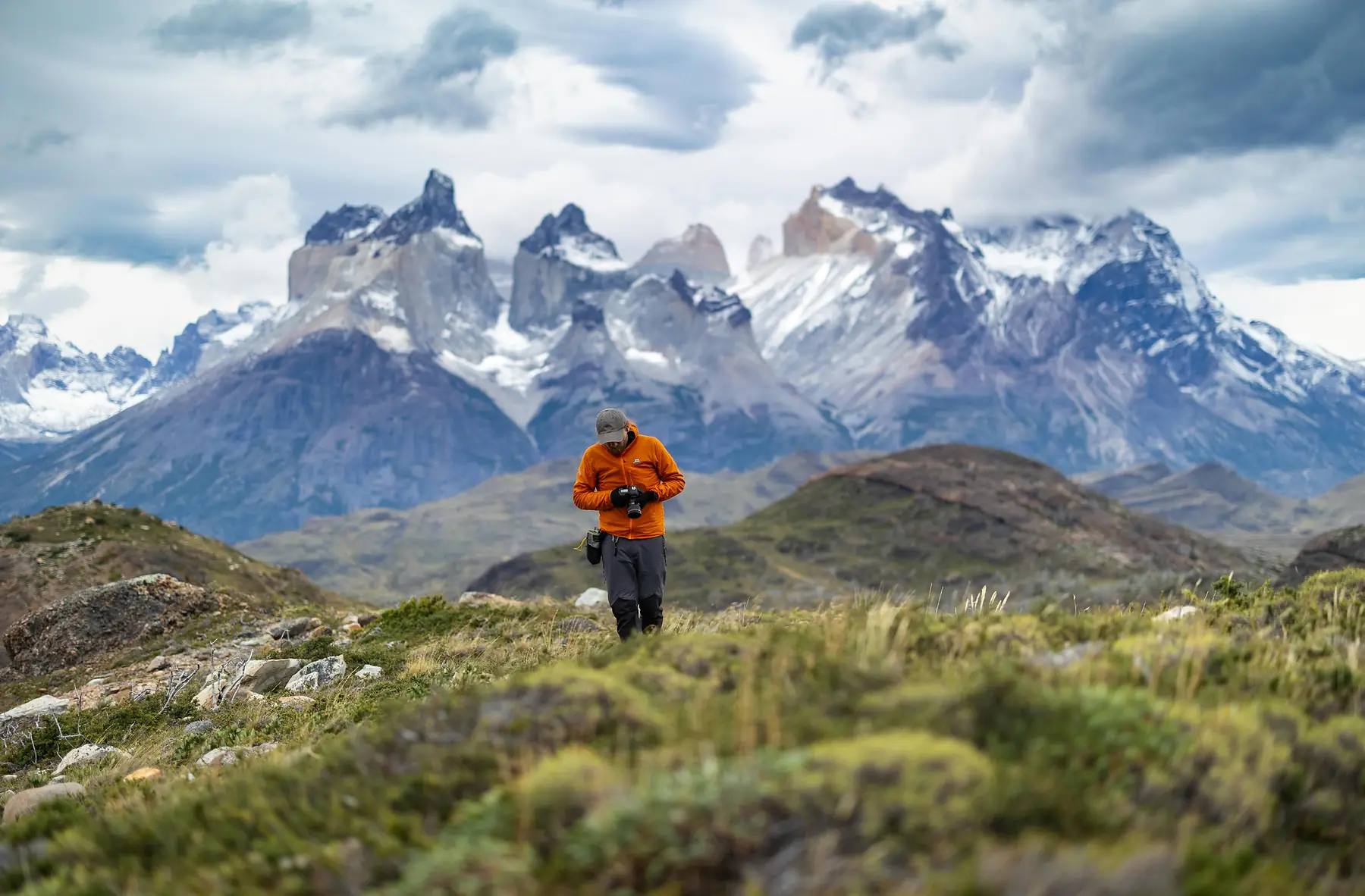
While many travelers treat Villa O’Higgins as a transition point, the town’s municipal park, Parque Glaciar Mosco, offers some of the most accessible and rewarding trekking in the Aysén region. The trails are well-marked, free to enter, and start within walking distance of the main square.
The most popular hike is the ascent to Mirador Cerro Santiago, also known as “La Bandera” because of the Chilean flag at the summit. From here, you get a 360-degree view of the town, the Mayer River delta, and the surrounding glaciers. For those seeking a full-day adventure, the Rio Mosco trail leads deep into the valley toward the face of the Mosco Glacier.
Parque Glaciar Mosco Trail Stats
- Mirador Cerro Santiago: 4km round trip | 2-3 hours | 450m elevation gain
- Glaciar Mosco Viewpoint: 12km round trip | 5-6 hours | 620m elevation gain
- Altavista Trail: 8km round trip | 4 hours | High-altitude views of the ice field
- Difficulty: Moderate; trails can be muddy after rain
If you want to see how these routes compare to other treks in the region, check out our guide to the best hikes on the Carretera Austral.
Boat Tours to Glacier O’Higgins
The O’Higgins Glacier is one of the most active and impressive calving faces in the Southern Patagonian Ice Field. Reaching it requires a full-day boat excursion across Lago O’Higgins, a journey that reveals the true scale of this wilderness.
The boat navigates through icebergs that have broken off the glacier’s 70 to 80-meter-high walls. These tours are operated primarily by Robinson Crusoe Deep Patagonia, though other smaller operators occasionally offer services. You can choose to do a round-trip tour back to town or use the boat as the first leg of your border crossing to Argentina by getting dropped off at the Candelario Mancilla outpost.
To learn more about how this experience compares to other ice-field excursions, see our comprehensive guide to glacier tours in Patagonia.
Crossing the Border: Villa O’Higgins to El Chaltén
The journey from Villa O’Higgins to El Chaltén is widely considered the most beautiful and logistically complex border crossing in South America. There are no roads; the transition is made via two boats and a 22-kilometer trek or horse ride through a remote mountain pass.
No Vehicle Access: It is physically impossible to take a car, motorcycle, or campervan between Villa O’Higgins and El Chaltén. If you are driving, you must turn around and drive 230km north to Cochrane, then cross into Argentina via Chile Chico or Paso Roballos.
The 5-Step Blueprint
The First Boat
Travel from Puerto Bahamondes across Lago O’Higgins to Candelario Mancilla. This boat takes approximately 2.5 to 3 hours. You must clear Chilean Customs (Paso Entrada Mayer) here.
The Trek or Ride
From Candelario Mancilla, you must cover 22km to reach the northern shore of Lago del Desierto. The first 15km is a steady climb on a dirt track, followed by a narrower, often muddy trail through the forest. Cyclists will need to push or carry their bikes for several kilometers of this section.
Argentinian Customs
At the end of the 22km trail, you will reach Punta Norte on the shore of Lago del Desierto. Here, you will find the Argentinian Gendarmerie station to receive your entry stamp.
The Second Boat or Shore Hike
From Punta Norte, you have two choices to reach the southern end of the lake (Punta Sur). Most travelers take the ferry, which takes 45 minutes and offers stunning views of Mount Fitz Roy. Alternatively, you can hike the 12km trail along the eastern shore, which is narrow, undulating, and can take 4-5 hours.
The Final Stretch
Once at Punta Sur, a shuttle bus or private transfer meets the boat to take you the final 37km on a gravel road to El Chaltén.
Choosing Your Path at Lago del Desierto
The decision between the boat and the hike at the final lake often depends on your energy levels and the weather.
- Cost: ~40-60 USD (as of 2026/27) vs. Free
- Time: 45 minutes vs. 4-5 hours
- Effort: Minimal vs. High (very muddy and steep in sections)
- Scenery: Panoramic mountain views vs. Dense forest with occasional lake glimpses
Take the boat if you are carrying a full trekking pack or if the weather is clear, as the views of Fitz Roy from the water are superior.
You must obtain your Chilean exit stamp at Candelario Mancilla before proceeding to the border. If you miss this, the Argentinian authorities at Punta Norte will send you back, a 44km round-trip mistake.
Where to Stay & Eat in Villa O’Higgins
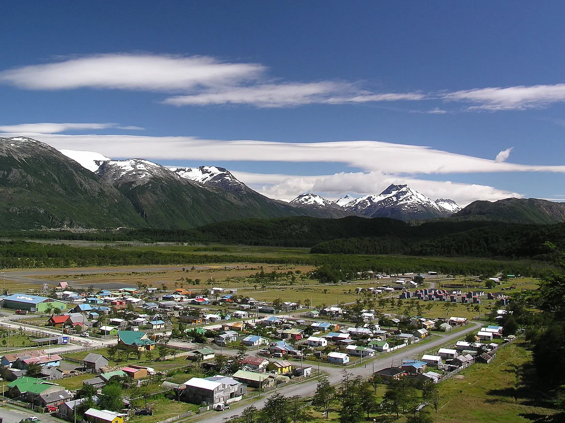
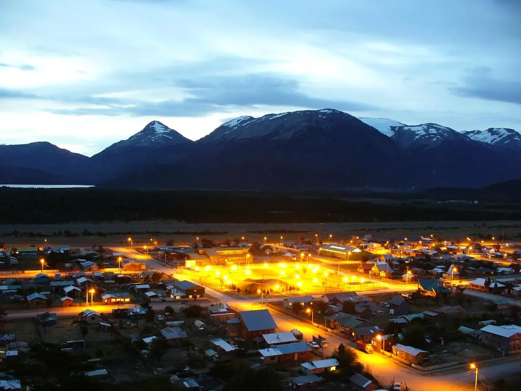
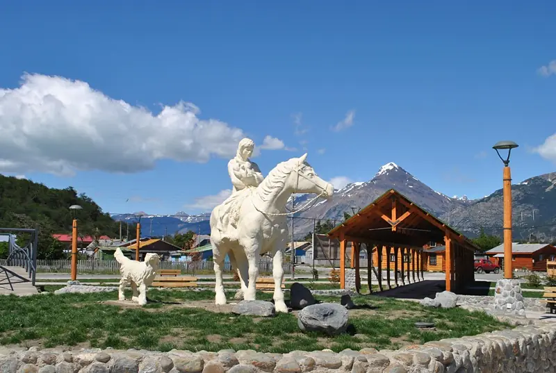
Villa O’Higgins is a small town of roughly 600 people, and its infrastructure is geared toward simplicity. While the “supermarket” options are limited to basic dry goods and canned food, the local hospitality is exceptional.
For a complete list of vetted properties and dining options across the region, refer to our Carretera Austral accommodation guide.
- Lodging: Robinson Crusoe Deep Patagonia offers the most upscale experience with a beautiful lodge and organized tours. Hostal El Mosco is the legendary hub for backpackers and cyclists, offering both private rooms and camping.
- Dining: Do not miss the local bakery (Panadería) near the main square, which produces fresh rolls and empanadas every morning - essential fuel for the border crossing.
- Connectivity: While the town was once a digital dead zone, many hostels and lodges have now installed Starlink. Expect reliable Wi-Fi for messaging and basic browsing, though high-bandwidth tasks may still be a struggle during peak evening hours.
Essential Logistics: Fuel, Cash, and Weather
In Villa O’Higgins, a lack of preparation can result in being stranded for several days. The town operates on a different rhythm than the rest of Chile, dictated by supply chains and the wind.
Cash and Banking
There is no ATM in Villa O’Higgins. The nearest functional ATM is in Cochrane, 230 kilometers to the north. While some larger lodges and the Copec station now accept credit cards via satellite internet, many local guesthouses and the ferry operators require cash in Chilean Pesos (CLP).
Look for “Caja Vecina” signs in small corner stores. These are local banking points where you can sometimes withdraw small amounts of cash using a Chilean debit card, but they rarely work for international cards. Always arrive with more cash than you think you need.
Fuel
The Copec station in town is the only place to refuel. Because fuel is trucked in from hundreds of kilometers away, it is often the most expensive in Chile. Occasionally, the station may run dry for a day or two if the Mitchell Fjord ferry is delayed, so never arrive on an empty tank.
The “Wind Factor”
Weather is the ultimate arbiter of travel here. High winds on Lago O’Higgins frequently cause the ferry to Candelario Mancilla to be canceled for two or three days at a time. If you are planning the border crossing, your schedule must be flexible. To understand how these patterns shift throughout the year, consult our guide to Carretera Austral weather.
FAQ
Can I take my rental car from Villa O’Higgins to El Chaltén? No, there is no vehicle road between Villa O’Higgins and El Chaltén; you must return north to Chile Chico or Cochrane to cross by car.
Is there an ATM in Villa O’Higgins? No, there are no ATMs in Villa O’Higgins, so you must withdraw enough Chilean Pesos in Cochrane or Coyhaique before arriving.
How long does the border crossing from Villa O’Higgins to El Chaltén take? Most travelers take two days, camping at Candelario Mancilla or the border, though it is possible in one very long day if boat schedules align perfectly.
Do I need to book the Lago O’Higgins ferry in advance? Yes, especially in peak season (December–February), as the boat to Candelario Mancilla has limited capacity and fills up with cyclists and hikers.
Is the water in Villa O’Higgins safe to drink? Yes, the tap water in Villa O’Higgins is safe and often comes directly from pure glacial sources.
What is the best month to visit Villa O’Higgins? The best time is between November and March when the border crossing is officially open; for a full month-by-month breakdown, see our Carretera Austral weather guide.