
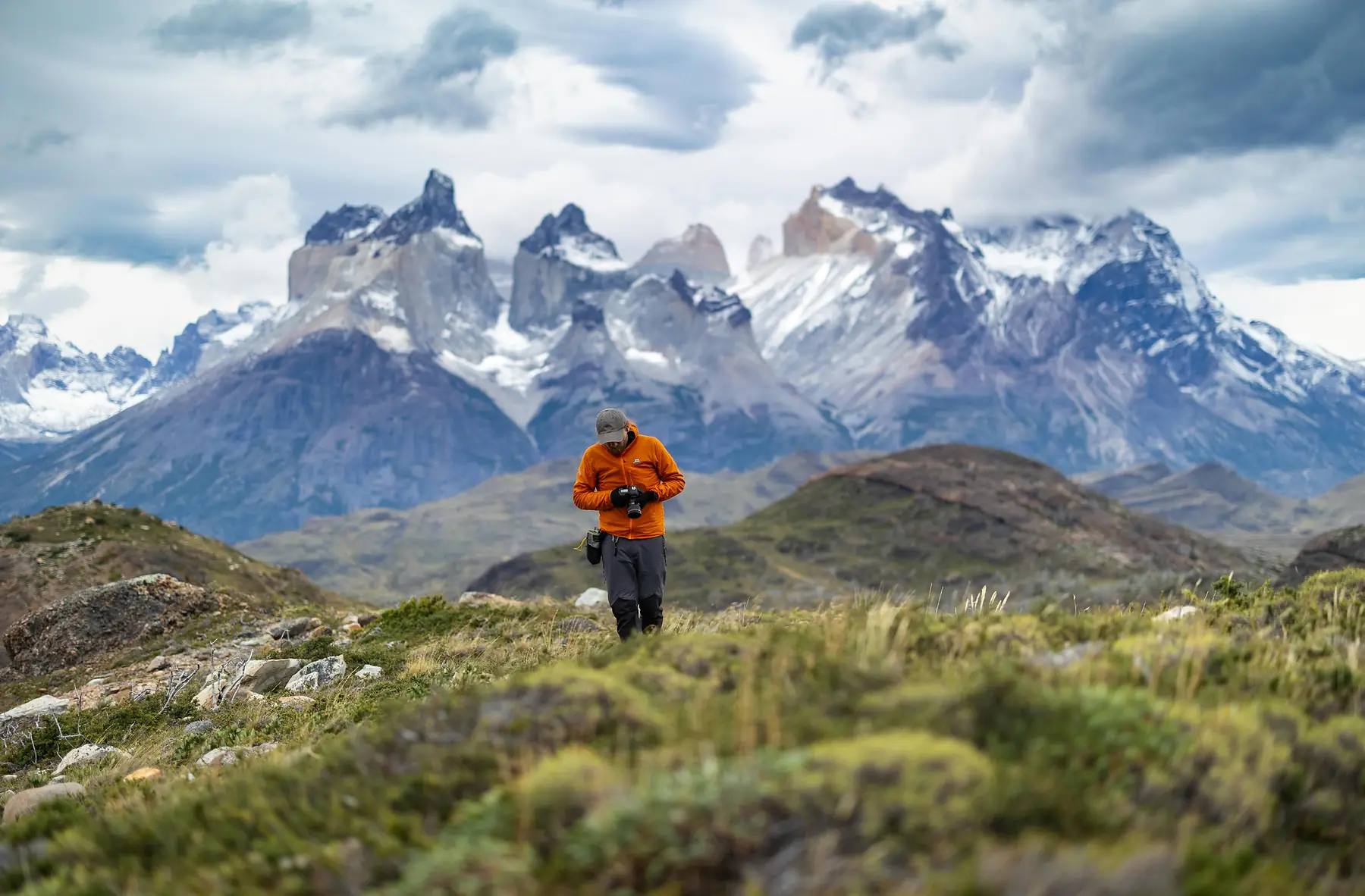
A month-long exploration across both Argentine and Chilean Patagonia is the ultimate way to experience the sheer diversity of this continental tip. This extensive loop takes you from the forested alpine lakes of northern Argentina, across the Andes into the volcanic fields of Chile, and deep down into the jagged, ice-scoured massifs of the far south.
By dedicating a full week each to the major trekking zones of Torres del Paine and El Chaltén, this itinerary honours the reality of Patagonian travel: you cannot rush the weather, and you cannot rush the terrain.
What makes the month-long version different from every shorter route on this site is breadth: it is the only itinerary that links the northern Lake Districts of both countries with the far south in a single loop. If your priority is trekking intensity rather than regional variety, the 3-week O Circuit expedition puts more of its days on backcountry trails; if it’s the end-of-the-world leg you’re after, the 20-day Ushuaia route covers that instead of the Lake Districts.
Expedition At-A-Glance
- Total Duration: 28 days (27 nights on the ground)
- Start Point: Buenos Aires (AEP/EZE) → Bariloche (BRC)
- End Point: El Calafate (FTE) → Buenos Aires (AEP/EZE)
- Countries: Argentina and Chile (two overland border crossings)
- Focus: Multi-day trekking, alpine day hikes, glacier ice trekking, volcanic landscapes, adventure sports
- Best Months: November to March (full flight schedules, trail access, and refugio availability)
- Estimated Budget: $6,000 to $12,000 USD per person, excluding international flights
- Fitness Level Required: High. Includes a 5-day backcountry trek, multi-day hut-to-hut loops, and sustained day hikes of 18 to 25 km
- Internal Flights: 3 (Buenos Aires to Bariloche, Puerto Montt to Puerto Natales, El Calafate to Buenos Aires)
Route Overview and Logistics
Executing a cross-border, multi-region loop over twenty-eight days requires careful coordination of four distinct transit zones. You are navigating two international overland crossings and two major domestic flight routes.
The Northern Cross-Border Loop
Your trip kicks off with a flight from Buenos Aires to San Carlos de Bariloche (BRC). After exploring the Argentine Lake District, you will transition to the Chilean Lake District via the Cardenal Samoré Pass. You can do this by renting a vehicle with cross-border clearance, or more easily, by taking a direct four-hour public bus from the Bariloche terminal to Puerto Varas, passing through the mountain town of Villa La Angostura.
If you plan to rent a car in Argentina to drive across the border into Chile, you must inform the rental agency months in advance to secure a cross-border permit and specific international insurance (Seguro Obligatorio del Mercosur). The permit fee typically ranges from $120 to $250 USD. Taking the public bus is significantly simpler and avoids this complexity entirely.
Moving South from Puerto Varas
To reach Puerto Natales (PNT) from Puerto Varas on Day 12, you will need to utilise the nearby airport in Puerto Montt (PMC), located just a 30-minute taxi ride south of Puerto Varas. During the peak summer season, LATAM and Sky Airline operate select direct flights from Puerto Montt to Puerto Natales. If you travel outside this specific peak window, you will likely have to fly into Punta Arenas (PUQ), followed by a 3-hour bus up to Puerto Natales via Route 9.
Check the Puerto Montt–Puerto Natales direct flight schedule before locking in your dates. If the direct route is not available, flying via Santiago is often more reliable than routing through Punta Arenas — but it turns Day 12 into a full travel day. Build flexibility into your itinerary for this leg.
The Southern Logistics
Once you are in the south, the path is fully overland. You will hike the W Trek, return to Puerto Natales, and take a five-hour public bus across the border checkpoint at Río Don Guillermo to reach El Calafate. After exploring the glaciers of Lake Argentino, a final three-hour bus journey along the edge of Lake Viedma brings you to the trailheads of El Chaltén. Your trip concludes with a return transit to the El Calafate airport (FTE) for a direct domestic flight back to Buenos Aires.

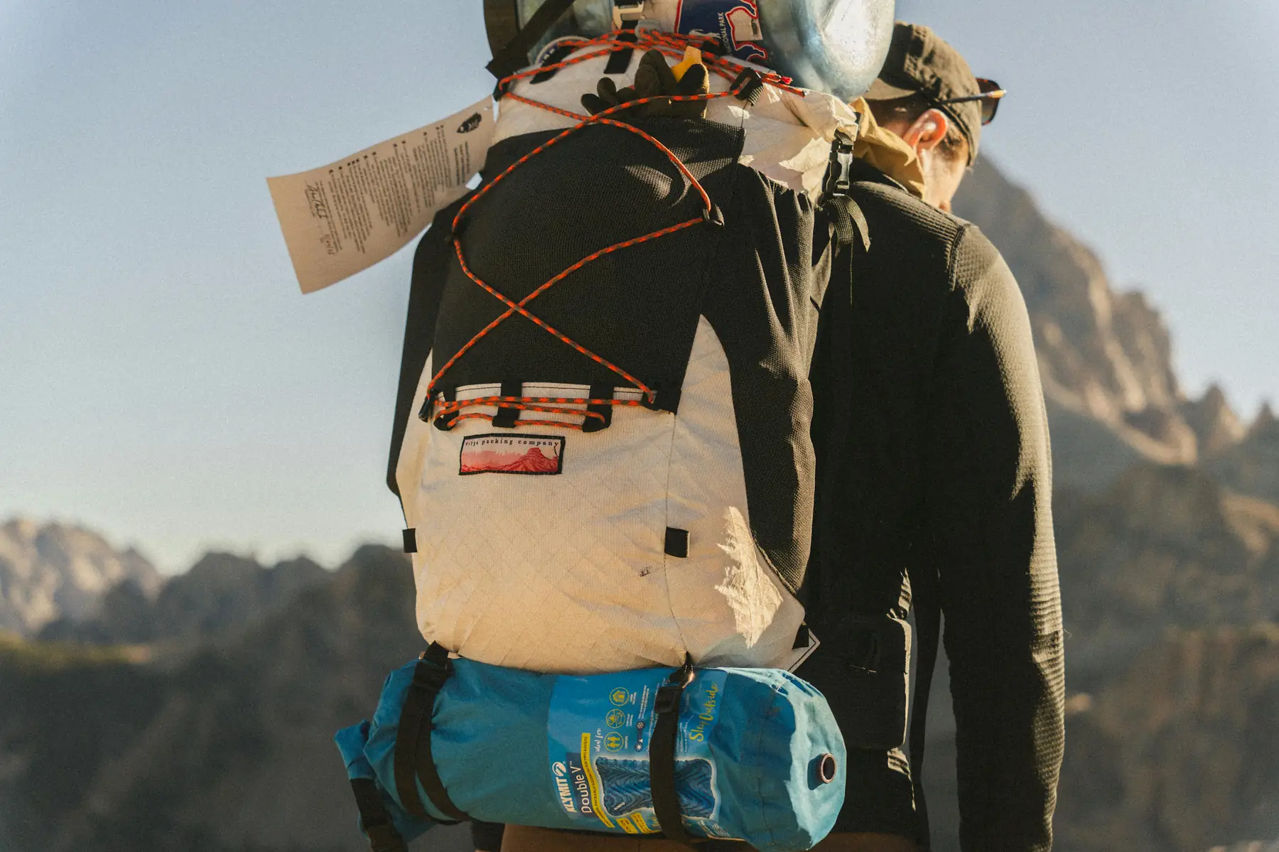
Phase 1: Bariloche and the Nahuel Huapi Backcountry (Days 1–6)
Day 1: Arrival and the Short Circuit
Board your morning flight from Buenos Aires to Bariloche. Grab a local rental car or hop on the public bus system down Avenida Bustillo to check into your lodging. Spend your afternoon completing the 60-kilometre Circuito Chico loop. Stop at the base of Cerro Campanario and take the open-air chairlift to the summit. The panoramic view of Lake Nahuel Huapi and the surrounding mountain fingers is a perfect geographic primer for the region. Finish your evening with a wood-fired dinner in downtown Bariloche.
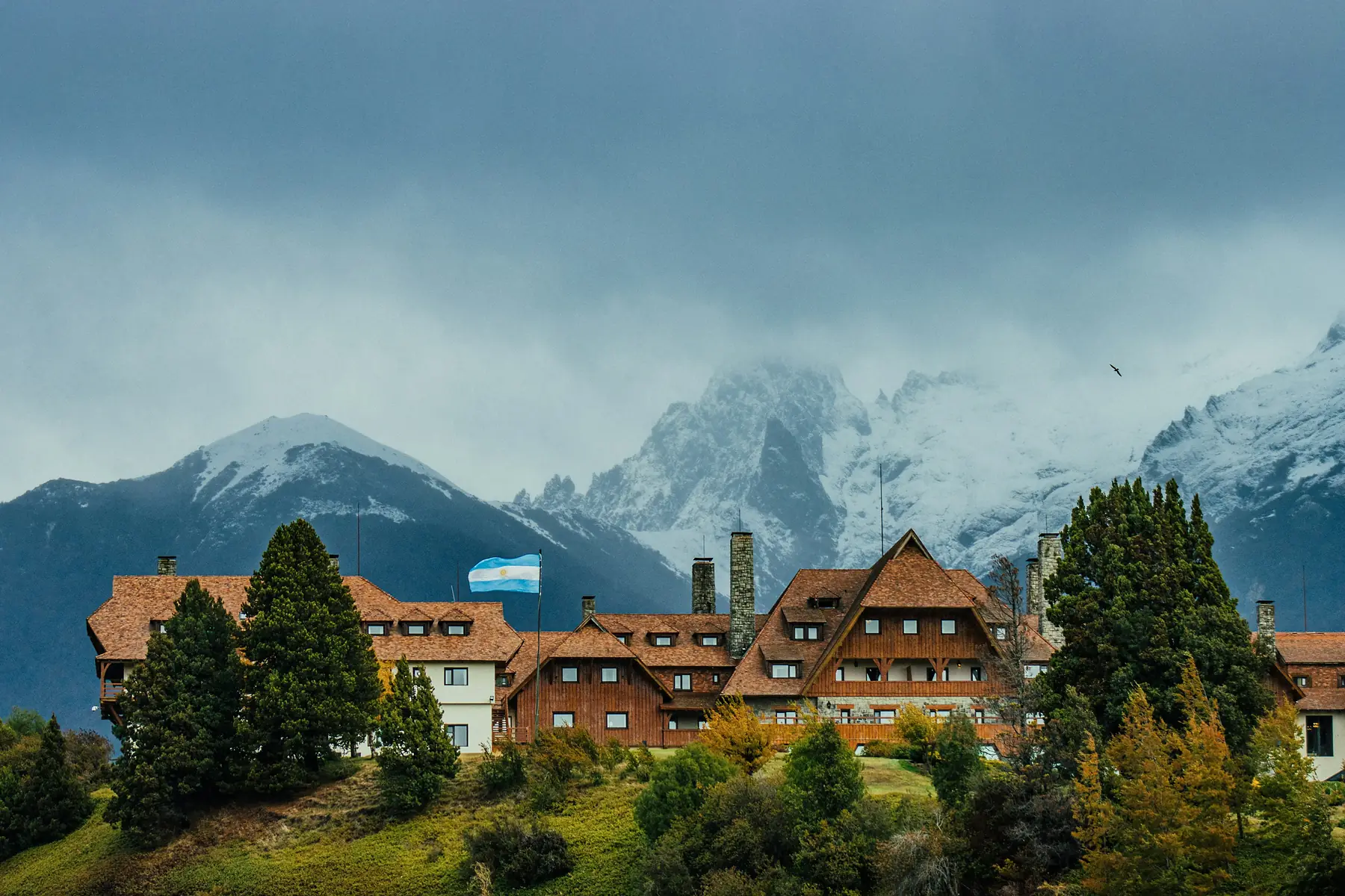
Days 2–4: Backcountry Hut-to-Hut Trekking
Dedicate these three days to an immersive loop through the Nahuel Huapi backcountry. This is your chance to connect Bariloche’s famous network of high-altitude mountain huts before heading into entirely different terrain across the border.
Day 2 — Refugio Frey: Hike from the Cerro Catedral parking lot up the Van Titter valley to Refugio Frey. The trail winds through dense coihue forests before a steep rock scramble delivers you to a stone hut tucked against a cold alpine lagoon, surrounded by soaring granite needles. Sleep in the communal dorms or pitch a tent on the rocky shore.
Day 3 — Refugio Frey to Refugio Jakob: For experienced trekkers with solid navigation skills, cross the technical high-altitude mountain passes connecting Refugio Frey to Refugio Jakob (Laguna San Martín). This is a demanding trek over exposed scree slopes and loose rock fields that requires excellent footing and steady nerves.
Day 4 — Descent to Bariloche: Descend from the high valleys along the flat river trails, emerging back at the roadhead to catch a local transit transfer back to the comforts of Bariloche for a hot shower.
The Frey-to-Jakob traverse is a technical high-altitude route over exposed scree and unmarked passes. It is not a maintained trail — conditions change rapidly, visibility can drop to near-zero in fog, and there is no shelter between the two refugios. Only attempt this crossing if you have strong backcountry navigation experience. If in doubt, return from Refugio Frey the way you came and hike to Jakob separately from the Colonia Suiza trailhead.
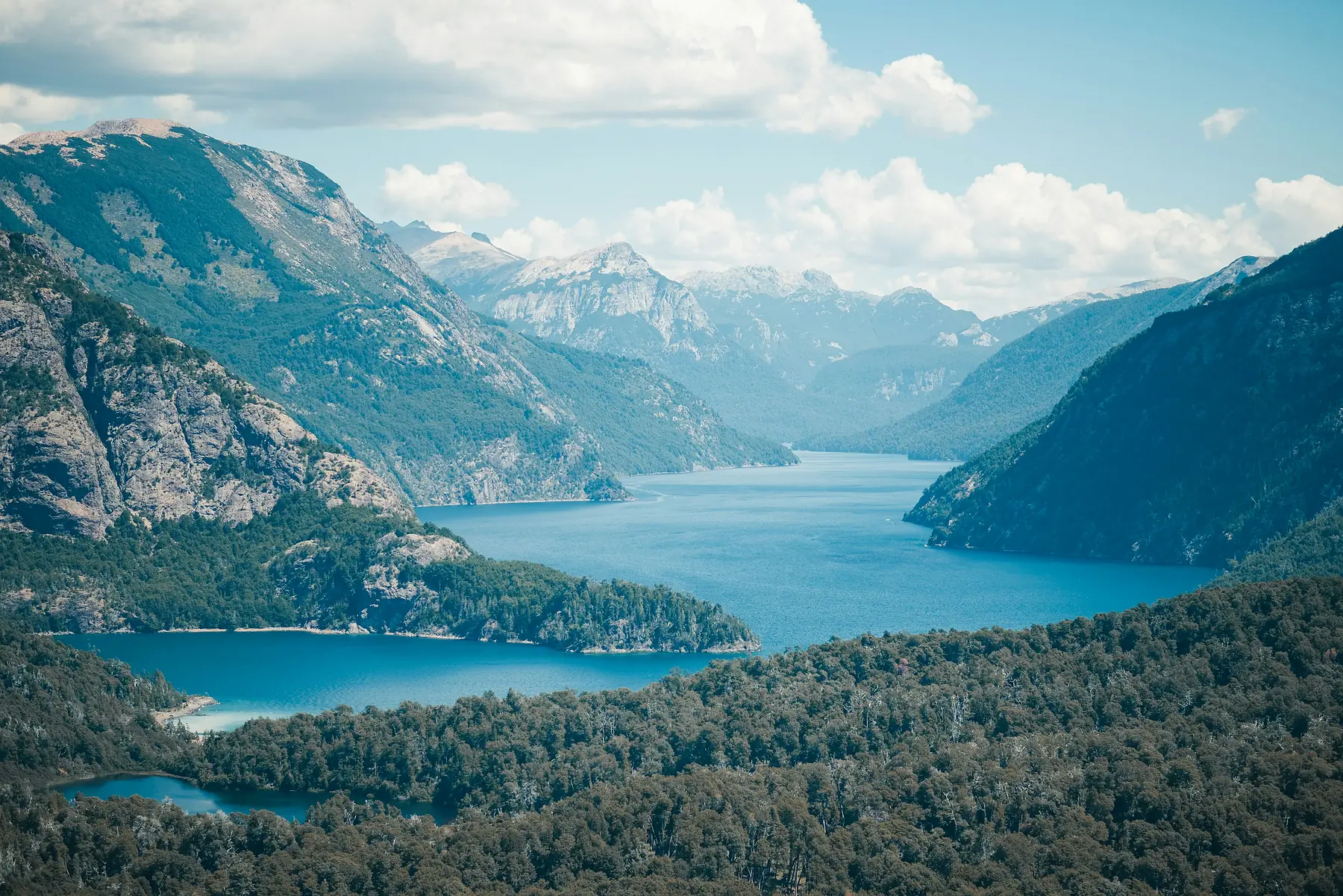
Day 5: Day Trip to Villa La Angostura
Take a scenic drive north along the paved margins of Route 40 to Villa La Angostura, a quiet mountain village filled with log architecture. Spend your morning hiking the easy paths inside Los Arrayanes National Park, walking among rare, cinnamon-barked arrayán trees that are unique to this specific microclimate. Return to Bariloche in the evening to pack your bags for the border crossing.
Day 6: Alpine Kayaking and Rest
Keep things relaxed to prep for your cross-border travel. Head to the sheltered waters of Lake Moreno or the peaceful bays of Lake Gutiérrez. Rent a kayak to paddle along the vertical stone faces and explore quiet, sandy coves. Spend your final evening in Bariloche sampling artisanal chocolate bars from the shops along Calle Mitre.
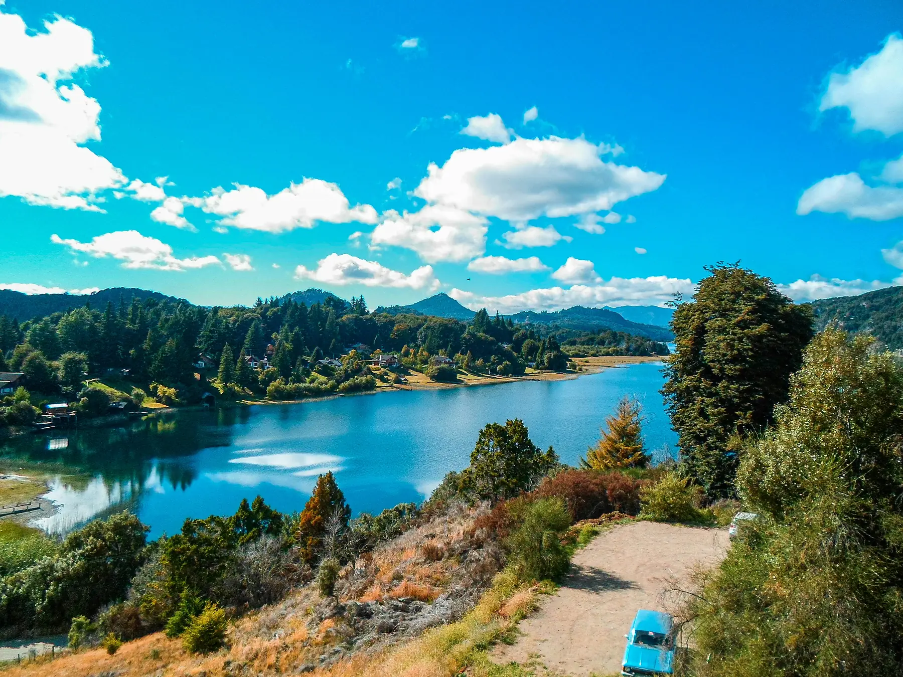
Phase 2: The Chilean Lake District (Days 7–11)
Day 7: Crossing the Andes to Lake Llanquihue
Catch an early morning public bus from Bariloche across the Cardenal Samoré international pass. The route cuts directly through the Andes, showcasing dramatic volcanic landscapes before dropping into Chile’s lush Los Lagos region. Arrive at Puerto Varas, a lakeside town built on the banks of the massive Lake Llanquihue, dominated by the perfectly symmetrical, snow-capped cone of the Osorno Volcano across the water. Walk the quiet waterfront and enjoy a dinner of fresh Pacific salmon.
The Cardenal Samoré bus crossing takes approximately four hours including the border checkpoint. Keep your passport and any Chilean immigration forms in your hand luggage. Fresh fruits, vegetables, and unsealed meats will be confiscated at the Chilean agricultural checkpoint.
Day 8: Climbing Osorno Volcano
Head east along the lake shore to Vicente Pérez Rosales National Park. Drive up the winding, switchbacked access road to the ski station sitting on the slopes of Osorno Volcano. From here, you can take a chairlift or join a guided technical excursion to trek across the glacier slopes toward the 2,652-metre summit. The view from the exposed volcanic flanks looks out across the vast waters of Lake Llanquihue to the west and the jagged, turquoise expanse of Lake Todos los Santos to the east.
The upper slopes of Osorno Volcano are glaciated and require crampons, an ice axe, and a certified mountain guide. Do not attempt the summit without proper equipment and professional guidance. The chairlift-accessible lower slopes offer spectacular views without the technical requirements.
Day 9: White-Water Rafting the Petrohué River
Gear up for an adrenaline day on the emerald waters of the Petrohué River, which drains out of Lake Todos los Santos. Book a guided excursion that launches just below the famous Petrohué Falls, where the river crashes through ancient channels of black basaltic lava. The river offers continuous, high-volume Class III and IV rapids bordered by dense, temperate rainforests. It is a thrilling, wet, and physically engaging day.
Day 10: Multi-Sport Adventure Day
Choose your own adventure based on your remaining energy levels. You can rent a mountain bike to pedal the paved paths hugging the western edge of Lake Llanquihue toward the quiet village of Frutillar, known for its German heritage and beautiful wooden lakeside theatre. Alternatively, book a guided canyoning or via ferrata trip into the nearby Cochamó Valley, scaling vertical rock steps or sliding down natural stone chutes carved by clear mountain rivers.
Day 11: Vicente Pérez Rosales Exploration
Spend a quieter day exploring the deeper corners of Chile’s oldest national park. Take a scenic boat ride out onto the emerald waters of Lake Todos los Santos, often called the Emerald Lake due to the specific suspension of volcanic minerals. Walk the short forest loop trails near the Petrohué sector to view the native birdlife before returning to Puerto Varas to prepare your flight logistics for the deep south.
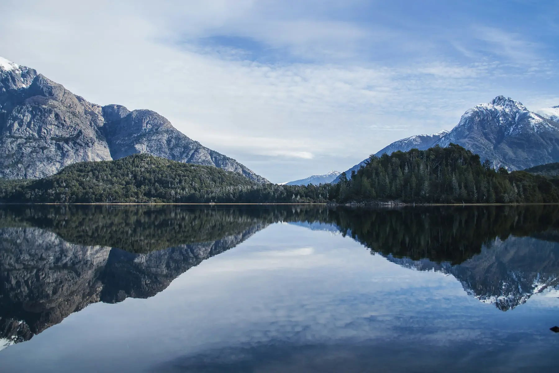
Phase 3: Puerto Natales and the W Trek (Days 12–18)
Day 12: Flight South to Puerto Natales
Take a morning taxi from Puerto Varas to the Puerto Montt airport and board your domestic flight south to Puerto Natales. Step off the aircraft into the intense, cool winds of the Magallanes Region. Check into your hostel or hotel in town and spend a quiet evening strolling the waterfront of the Señoret Channel, watching black-necked swans drift past old wooden shipping piers.
Day 13: The Master Preparation Day
This is a critical logistical day that cannot be rushed. Spend your morning renting carbon-fibre trekking poles and technical layers from local shops. If you are not utilising the full-board meal plans at the park refugios, head to the local grocery stores to carefully portion out five days’ worth of lightweight, high-calorie hiking meals.
At 3:00 PM, attend the daily W Trek briefing at the Erratic Rock hostel. This famous presentation delivers invaluable, real-time updates on trail conditions, bridge closures, and cold-weather packing strategies. Enjoy a heavy carbohydrate dinner and sleep early.
Purchase your Torres del Paine park entry ticket online before arriving. Cellular signal at the park boundaries is practically non-existent, so keep a digital copy or printed QR code on your phone. Also buy your isobutane fuel canister here if self-catering — they cannot be carried on flights.
Day 14: W Trek Day 1 — The Approach to Grey Glacier
Catch the 07:00 public bus from Puerto Natales to the Pudeto sector of Torres del Paine. Board the morning catamaran across the turquoise waters of Lake Pehoé to the Paine Grande dock. Lace up your boots and head north along the trail to Grey Glacier. The path climbs through a rocky valley before opening up to views of Lake Grey and its floating blue icebergs. Arrive at Refugio or Campsite Grey after a 12-kilometre walk, drop your heavy pack, and continue walking another two kilometres north to the spectacular suspension bridges that hang directly over the lateral moraine of the Southern Patagonian Ice Field.
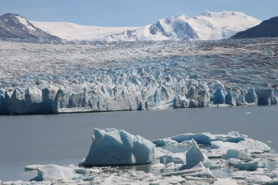
Day 15: W Trek Day 2 — Back to Paine Grande
Spend your morning taking an optional boat cruise or ice-kayaking excursion in front of the massive calving wall of Grey Glacier. In the afternoon, hike back down the undulating trail to the Paine Grande sector.
The wind along the Grey-to-Paine-Grande trail is exceptionally fierce, often topping 80 km/h. This exposed ridge offers no shelter. Maintain your balance, keep your pack strapped tight, and use trekking poles for stability. If sustained gusts are extreme, lower your centre of gravity and wait for lulls before crossing the most exposed sections.
Day 16: W Trek Day 3 — Into the French Valley
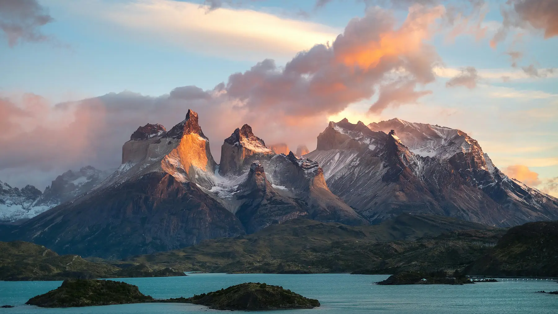
Set out early from Paine Grande, trekking east along the shoreline of Lake Skottsberg to reach the Italian Camp at the mouth of the French Valley. Leave your heavy backpack at the ranger station and head up the steep moraine trail along the French River with just a daypack. The trail climbs through ancient lenga forests to the French Viewpoint, a natural stone amphitheatre where the hanging glaciers of Mount Paine Grande crack and thunder to your left, while the vertical slate towers of the Horns rise to your right. Return down the valley, grab your pack, and continue walking east to stay at Refugio Los Cuernos or the nearby Domos Francés.
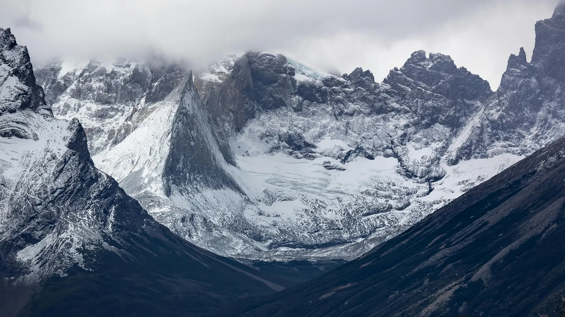
Day 17: W Trek Day 4 — Trekking the Nordenskjöld Margins
Hike east from the Cuernos sector, tracking along the rolling, gravelly beaches of Lake Nordenskjöld. This is a sustained 14-kilometre transit day that transitions you from the central granite horns to the eastern sector of the massif. The trail climbs gently over low hills, skirting the base of Mount Almirante Nieto before dropping into the windy mouth of the Ascencio Valley. Spend your evening resting at Refugio El Chileno or the Central sector camps.
Day 18: W Trek Day 5 — Sunrise at the Towers and Departure
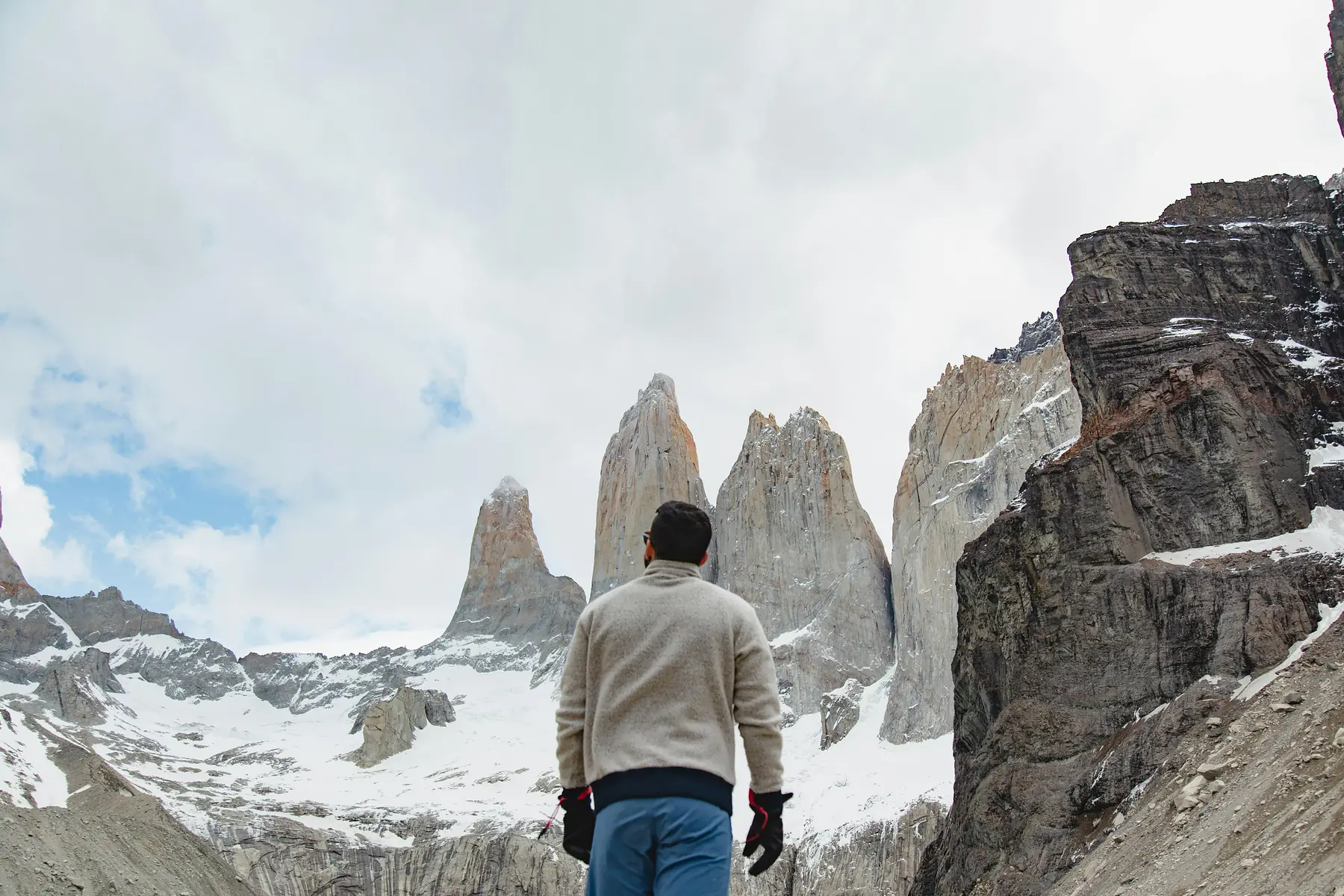
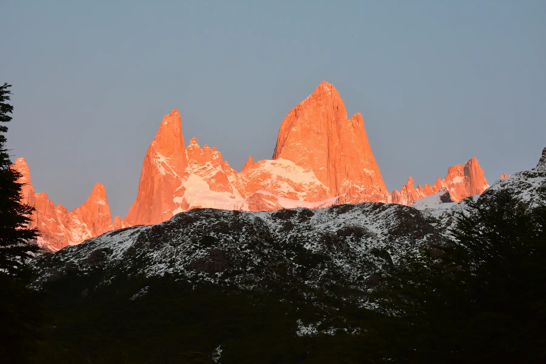
Wake up at 04:00, strap on a headlamp, and begin the steep, final push up the Ascencio Valley through the old moraine boulder field. This gruelling, rocky climb takes about an hour from Chileno, requiring careful step placement in the dark. Arrive at the Base las Torres lookout just as the first morning light hits the sky. On a clear day, the rising sun illuminates the three vertical granite towers in a brilliant, fiery orange glow above a grey glacial lagoon.
Hike the full 10 kilometres back down the valley to the Central welcome centre, catch the afternoon shuttle bus to Laguna Amarga, and board the evening public bus back to Puerto Natales for a celebratory dinner.
Phase 4: El Calafate and Perito Moreno (Days 19–21)
Day 19: Overland Bus to El Calafate
Board an early morning public bus to cross the international border at Paso Río Don Guillermo into Argentina. The journey takes you across the wide expanse of the dry Argentine pampa, arriving at the El Calafate terminal in the late afternoon. Head straight to your hotel, drop off your dusty trail clothing at a local laundry service, and spend your early evening walking down to the Laguna Nimez Reserve. The shallow waters here are a haven for Chilean flamingos, offering a peaceful, slow-paced sunset walk after a long day of bus travel.
Day 20: Perito Moreno Glacier Trekking
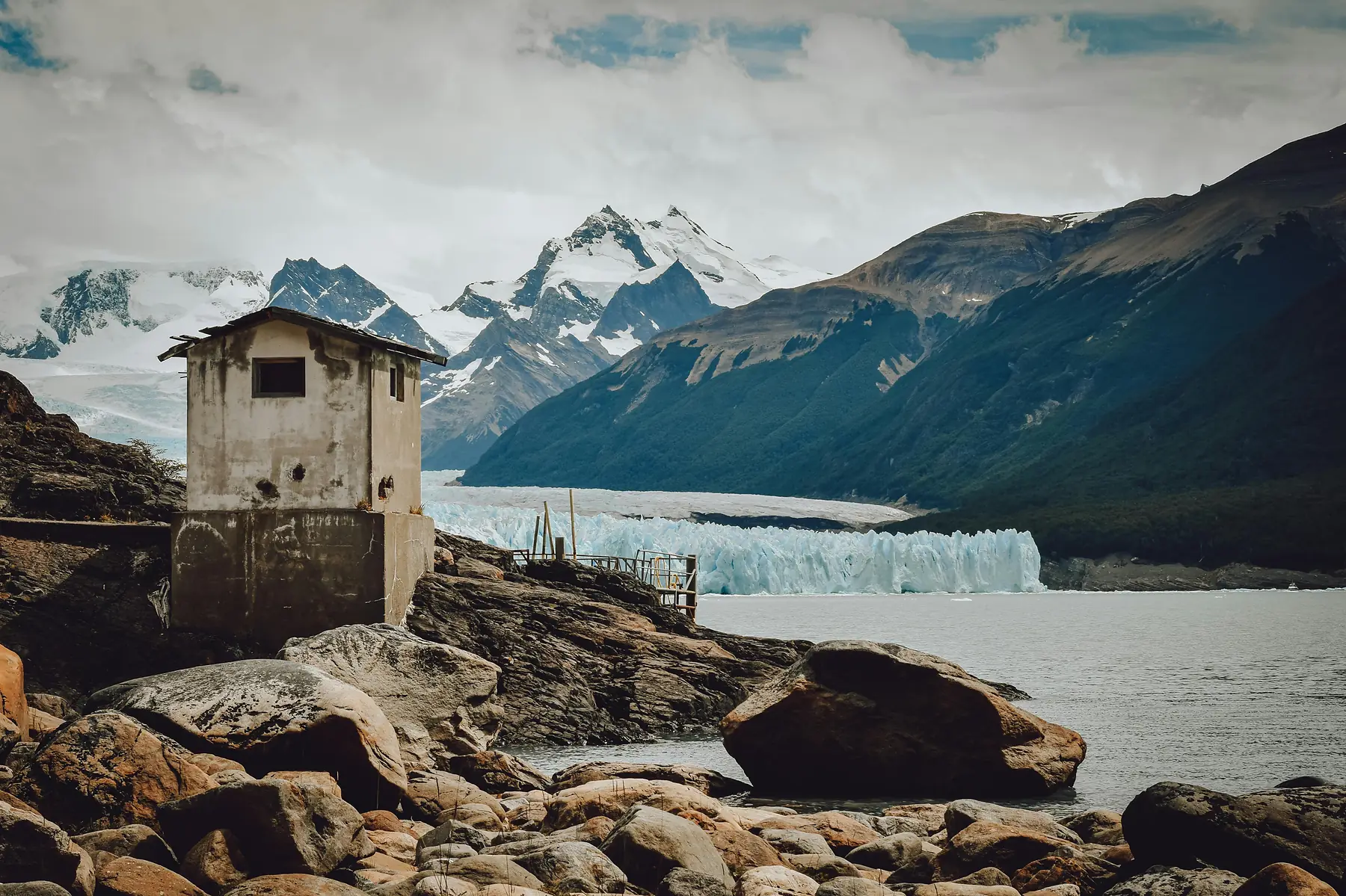
Dedicate today to the crown jewel of Patagonian ice. Take an 80-kilometre transfer west to Los Glaciares National Park to view the Perito Moreno Glacier. Spend your morning walking the multi-tiered steel boardwalk system along the Magallanes Peninsula to view the 60-metre-high ice wall from multiple heights.
Next, complete the signature ice trekking excursion: board a short transfer boat across the Rico Arm of Lake Argentino, strap steel crampons onto your hiking boots, and step directly onto the glacier surface for a two-hour guided trek. You will walk past glowing blue crevasses, deep meltwater streams, and frozen sinkholes. Return to El Calafate in the evening for a traditional dinner of slow-roasted Patagonian lamb.
The Minitrekking excursion is restricted to travellers aged 8 to 65, while the longer Big Ice tour is limited to ages 18 to 50. Book at least three to four weeks ahead during peak season — daily capacity is limited and popular dates sell out fast. Your boots must be sturdy, waterproof, and provide solid ankle support.
Day 21: Transit North to El Chaltén
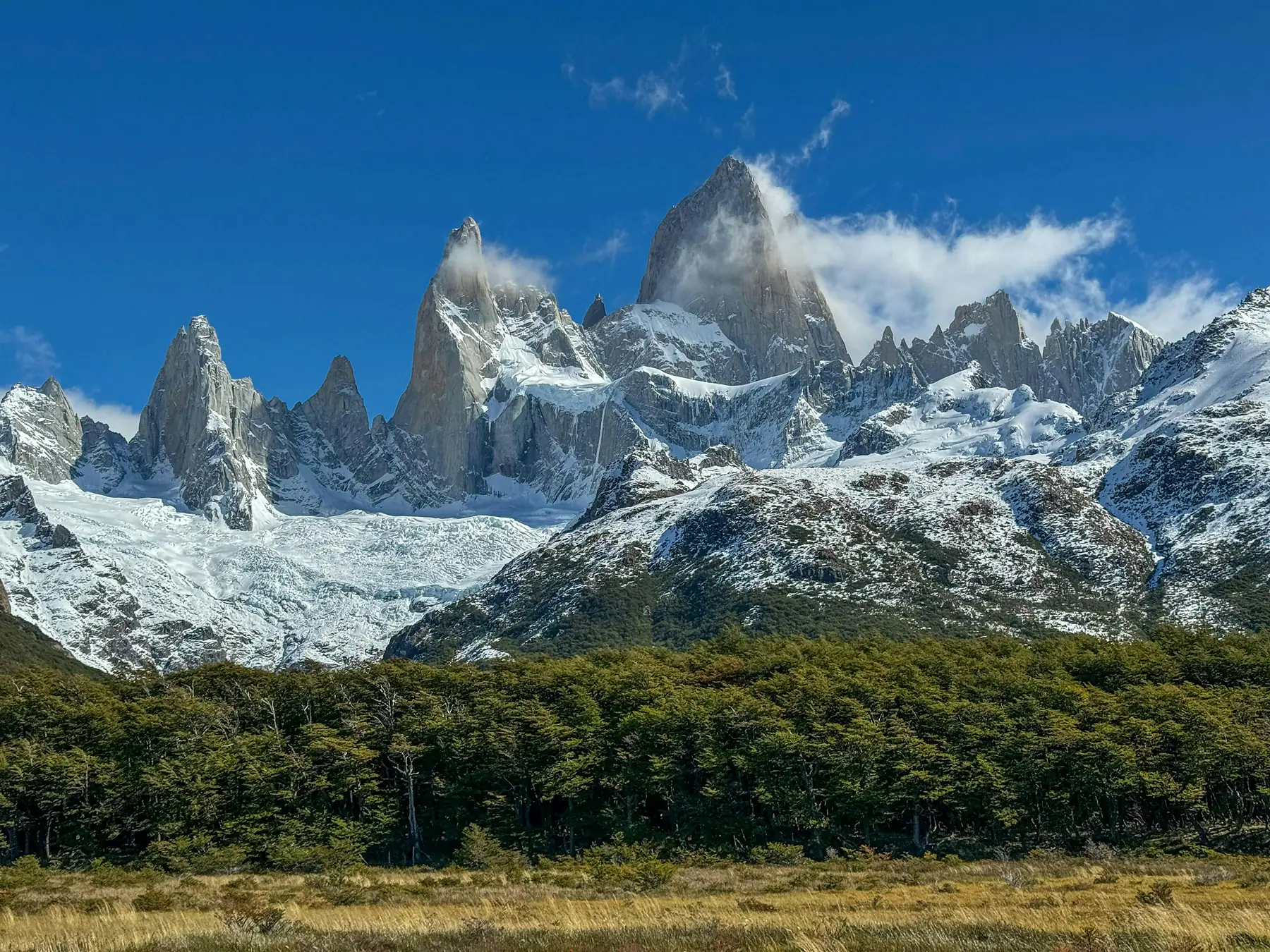
Enjoy a slow, relaxed morning in El Calafate picking up your clean laundry and grabbing pastries at a local bakery. In the afternoon, board a public bus for the three-hour journey north along Route 40 to El Chaltén, Argentina’s trekking capital. The road winds past the vast turquoise expanses of Lake Argentino and Lake Viedma, offering views of the vertical spires of the Fitz Roy massif as you approach. Check into your accommodation and enjoy a fresh microbrew at a mountain pub.
Phase 5: Deep Mountain Immersion in El Chaltén (Days 22–28)
Day 22: The Fitz Roy Classic (Laguna de los Tres)
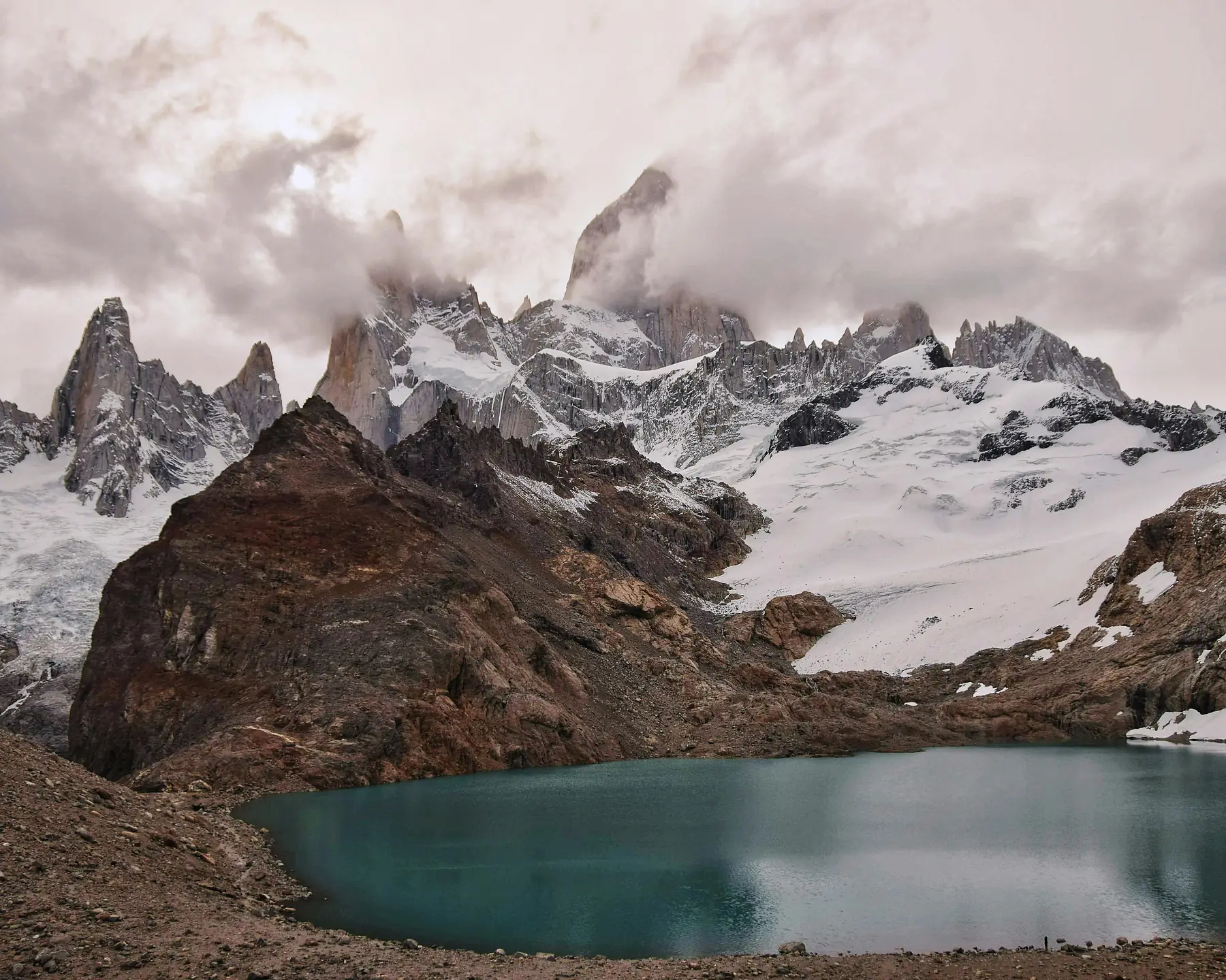
Set out by 07:30 to tackle the town’s definitive trail: the 21-kilometre round trip to Laguna de los Tres, finishing with a steep 400-metre moraine climb to the turquoise lagoon at the base of Fitz Roy’s 1,500-metre walls. Expect seven to nine hours; the full route breakdown, including how to handle the loose-scree final kilometre, is in our Fitz Roy hike guide.
Day 23: Weather Buffer and Valley Recovery Walk
After the heavy climbing of yesterday, utilise today as a deliberate physical recovery day. Take an easy, flat 3-kilometre walk along the forested trail to Chorrillo del Salto, a beautiful waterfall nestled in the woods. Spend your afternoon exploring El Chaltén’s vibrant café and brewery scene, resting your legs and checking the updated mountain weather forecasts at the visitor centre.
The golden rule of El Chaltén: deploy your biggest hikes on the clearest forecast days. Check windguru.cz and mountain-forecast.com the night before each morning. Prioritise Laguna de los Tres and Loma del Pliegue Tumbado for clear days; save the Cerro Torre valley and forest walks for mixed or windy conditions.
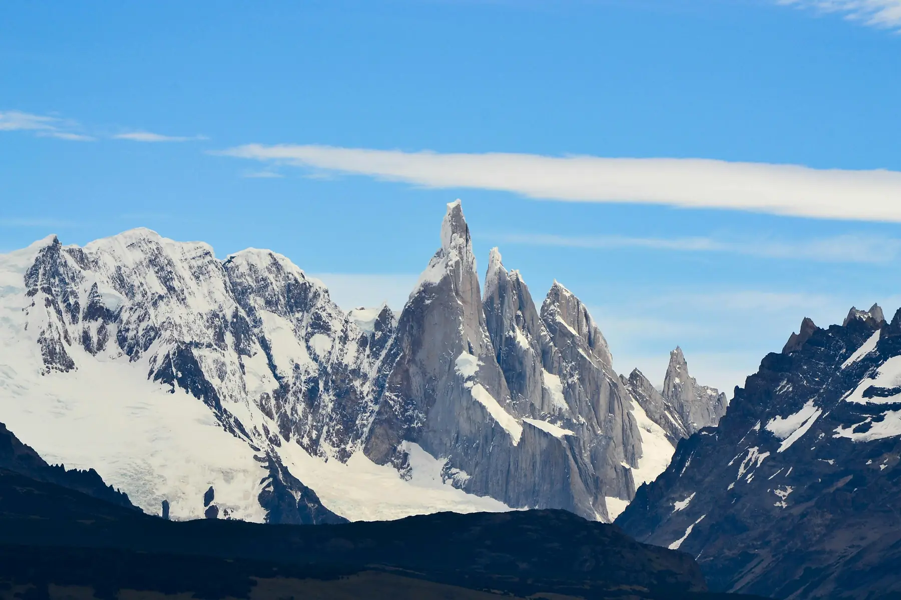
Day 24: Laguna Torre Trek
Set off on the classic 18-kilometre valley trail to Laguna Torre — remarkably flat, highly manageable on tired joints, and ending at an iceberg-strewn glacial lake beneath Cerro Torre. On a calm day, add the two-kilometre moraine extension to Mirador Maestri; details in our Laguna Torre guide.
Day 25: Active Rest and Short Viewpoints
Keep your trail mileage low today to prepare for your final big climb. In the morning, take a short, 45-minute uphill walk from the park visitor centre to the Mirador de los Cóndores for a bird’s-eye view of the town grid below, keeping an eye out for Andean condors riding the thermal wind currents. Continue the loop to the nearby Mirador de las Águilas to look out across the vast, empty horizons of the Argentine steppe.
Day 26: Loma del Pliegue Tumbado
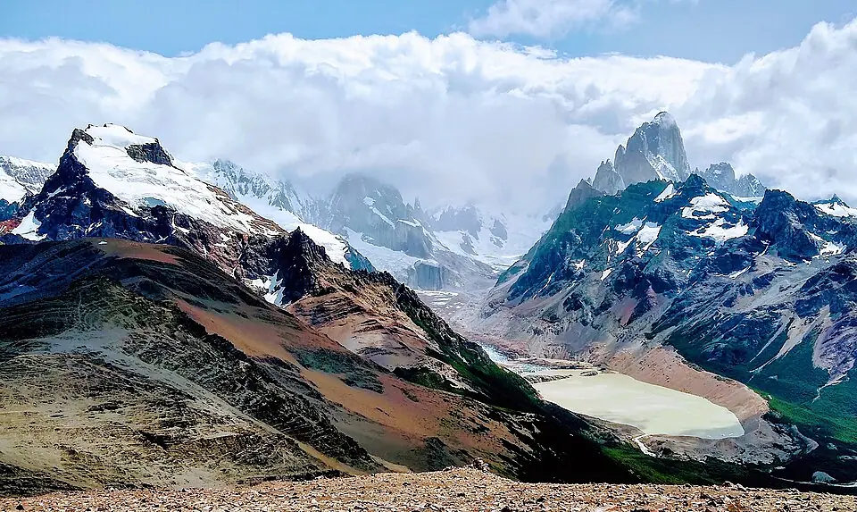
Tackle what is arguably the most spectacular panoramic hike in the region: Loma del Pliegue Tumbado, a steady 1,000-metre ridge climb to a summit where Cerro Torre and Fitz Roy stand side by side in a single view. The summit ridge is fully exposed to ice-field westerlies, so save it for a forecast under 70 km/h — wind strategy and route detail are in our dedicated guide.
Day 27: Remote Valley Exploration at Piedra del Fraile
For your final full hiking day, head north of town along the road to Lago del Desierto to trek the private reserve trail at Piedra del Fraile. The path follows a wide, flat valley floor along the banks of the Río Eléctrico, winding through dense beech forests protected from the heaviest westerly winds. It offers an entirely different, northern perspective of the Fitz Roy massif and feels noticeably more remote and less travelled than the main national park trails.
Day 28: Return to Buenos Aires via El Calafate
Pack your trekking gear and board an early morning public bus from El Chaltén back to the El Calafate airport. Ensure you choose a bus departure that leaves at least five hours before your domestic flight to account for any potential transit delays across the open pampa. Board your flight back to Buenos Aires, bringing your one-month Patagonian loop to a close.
If your international flight home departs the following morning, consider booking one night in Buenos Aires near Aeroparque or in the Palermo neighbourhood. This eliminates the stress of a same-day connection and gives you a final evening to reflect on the trip over Argentine steak and Malbec.
Practical Notes and Variations
Packing and Layering Systems for a Full Month
Spending twenty-eight days in Patagonia means you will encounter every conceivable weather condition, from warm, sunny 22°C afternoons in the northern lake districts to freezing -2°C rain and snowstorms on the southern massifs. Your clothing system must be built entirely on technical layering.
Do not pack heavy, insulated winter coats. Instead, utilise a lightweight synthetic base layer, a thick fleece or active insulation mid-layer, a packable down jacket for rest stops, and a high-quality, 3-layer waterproof and windproof hardshell jacket. High-quality merino wool hiking socks are essential, and you should bring at least two pairs of worn-in, waterproof hiking boots or sturdy trail shoes so one pair can dry out while you wear the other.
The Self-Catering vs. Full-Board Refugio Choice
When booking your 5-day W Trek inside Torres del Paine, you must make a foundational choice based on your budget and physical capability:
The Full-Board Approach: You book a pre-setup tent or a cabin bed inside the refugios (managed by companies Vertice and Las Torres) that includes three hot meals a day. This allows you to complete the W Trek carrying a light 30-litre daypack containing just your personal clothing layers. This option is significantly more expensive and requires booking six to nine months in advance, but it saves immense physical wear on your body.
The Self-Supported Approach: You rent a 60-litre expedition backpack, an insulated tent, a sleeping bag, and a portable camp stove in Puerto Natales on Day 13. You pack in all your own food and cook your meals at the designated campground cooking shelters. This is highly economical and offers a classic wilderness experience, but it means you will be hauling 12 to 15 kilograms of dead weight over steep mountain passes.
Weather Strategy and Trail Flexibility
The key to a successful month in Patagonia is refusing to treat your daily itinerary as an immutable law. This is exactly why seven full days are allocated to El Chaltén.
If you arrive in El Chaltén and the mountain rangers report that Mount Fitz Roy is completely socked in by a massive low-pressure system for the first three days, do not waste your physical energy completing the gruelling climb up to Laguna de los Tres during those days. Flip your schedule instantly: spend those overcast, rainy days relaxing in the local bakeries, walking to the low-altitude Chorrillo del Salto waterfall, or trekking the sheltered valley floor of Piedra del Fraile. Save your big ridge climbs — like Loma del Pliegue Tumbado and Laguna de los Tres — for the clear, high-pressure windows when your effort will be rewarded with pristine, unobstructed views of the granite summits.
FAQ
What is the best time of year for a month-long Patagonia expedition?
November to March is the only practical window. November and March offer the best balance of decent weather, manageable crowds, and full trail access. December to February is the warmest period but also the windiest and most crowded, particularly on the W Trek and in El Chaltén. For a 28-day trip, starting in late November gives you the best chance of stable weather across all four regions.
How far in advance do I need to book the W Trek refugios?
Campsite and refugio reservations through Vertice and Las Torres typically open around April for the upcoming October-to-April season. The most popular spots — particularly Grey, Los Cuernos, and Chileno — sell out within days of opening. Set calendar reminders for booking day and secure every night sequentially. Your flights should only be booked after your W Trek chain is confirmed.
How physically demanding is this 28-day itinerary?
This is a high-endurance expedition. It includes a 3-day hut-to-hut traverse in Bariloche, a 5-day W Trek with full-pack carries over mountain passes, and seven days of sustained day hiking in El Chaltén with distances of 18 to 25 km and elevation gains up to 1,000 m. You should be comfortable hiking 20+ km per day on uneven terrain while carrying a 12 to 18 kg pack. A structured training programme starting at least 3 months before departure is strongly recommended.
Can I do this trip without the Chilean Lake District section?
Yes. You can fly directly from Buenos Aires to Puerto Natales (via Santiago or Punta Arenas) after your Bariloche block, cutting the trip to roughly 22 to 24 days. However, the Chilean Lake District provides a valuable change of pace — volcanoes, white-water rafting, and temperate rainforest — that breaks up the intensity of the heavy trekking phases.
Do I need to book El Chaltén hikes in advance?
No. Unlike Torres del Paine, the trails in and around El Chaltén within Los Glaciares National Park are free to access and require no permits or advance booking. This is precisely why the itinerary places El Chaltén at the end — the flexibility to choose your hiking days based on real-time weather is invaluable after the rigid scheduling of the W Trek. The only thing you should pre-book is accommodation during peak season.
How do I handle currency for both Chile and Argentina?
Carry Chilean Pesos for the Puerto Varas and Puerto Natales phases, and Argentine Pesos for Bariloche, El Calafate, and El Chaltén. ATMs are available in all major towns but withdrawal limits can be low during peak season. Cards are widely accepted, but cash is essential for park entry checkpoints, small cafés, bus tickets, and tipping. Withdraw a reasonable amount at each new town and top up as needed.
What gear should I rent versus bring from home?
Bring from home: your broken-in hiking boots (never trek in new boots), waterproof shell jacket, base layers, and sleeping bag if you have one rated to -5°C or below. Rent in Puerto Natales: trekking poles, waterproof overpants, gaiters, and camping stove (to avoid the fuel canister issue on flights). Ground pads and 4-season tents can also be rented if your own gear is too bulky for the flights. Test all rental gear before heading into the backcountry.
What happens if the weather ruins my key hiking days?
This itinerary is specifically designed to absorb bad weather. The W Trek has fixed dates, but the seven-day El Chaltén block gives you enormous flexibility — you can afford to lose two or even three days to storms without missing the essential viewpoints. The golden rule: never hike Laguna de los Tres or Loma del Pliegue Tumbado in cloud cover. Save them for clear days and use stormy days for the forested Cerro Torre trail, Piedra del Fraile, or rest.