
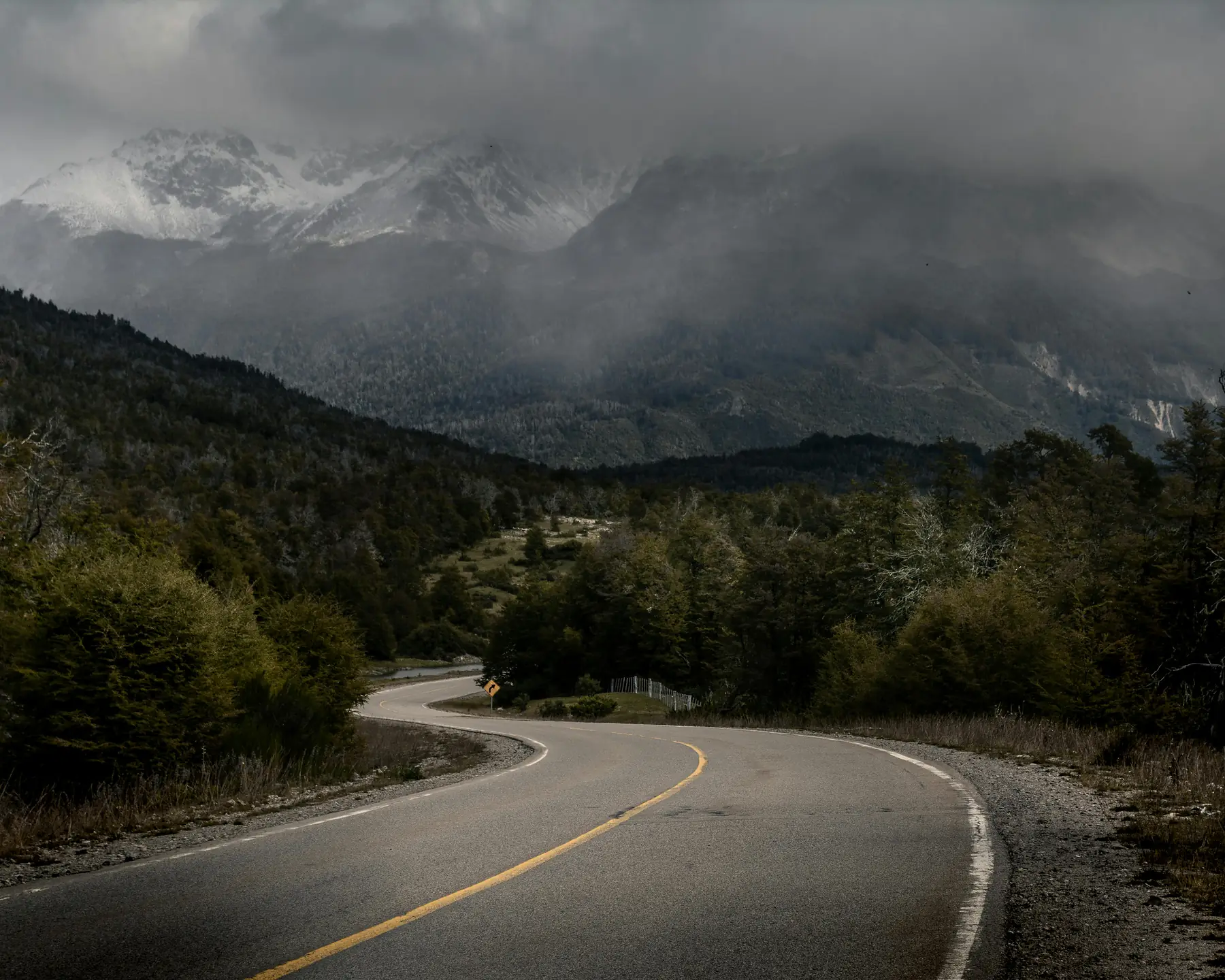
The Carretera Austral is one of South America’s great road trips, but most Patagonia visitors never take it. While the crowds funnel toward Torres del Paine and El Chaltén, Chile’s Route 7 threads 1,240 kilometres of temperate rainforest, roadless fjords, hanging glaciers, and turquoise rivers through the Aysén region, a strip of Patagonia so rugged that the road itself was only pushed through in the 1980s, and still relies on ferries to cover the gaps.
This twelve-day itinerary drives the most rewarding stretch of the Carretera Austral from north to south, starting in Puerto Montt, crossing the fjords into Pumalín’s volcano country, detouring to the rafting mecca of Futaleufú, and finishing among the guanaco herds of Patagonia National Park before flying out of Balmaceda. It is a genuine expedition, with pre-booked ferries, scarce fuel stops, and long sections of unpaved gravel, but few other routes in Patagonia pack in this much variety with so few travelers.
Unlike the trekking-focused routes further south, this is a driving itinerary first: your hardest days are behind the wheel, not on the trail. The hikes along the way (the Hanging Glacier of Queulat, Laguna Cerro Castillo, the Lagunas Altas loop) are demanding day walks rather than multi-day treks, so you return to a warm bed and a wood stove every night.
Itinerary At-A-Glance
- Total Duration: 12 days (11 nights on the ground)
- Start/End Point: Puerto Montt (PMC) to Balmaceda/Coyhaique (BBA), Chile
- Country: Chile only (no border crossings)
- Focus: Road trip, rainforest and fjords, day hikes, whitewater rafting
- Best Months: December to March (ferries run daily and river levels suit rafting)
- Estimated Budget: $2,500 to $4,500 USD per person, excluding international flights
- Fitness Level Required: Moderate. Day hikes up to 23 km, but every night is spent in a bed
- Vehicle: High-clearance vehicle essential; hire in Puerto Montt with a one-way drop-off in Balmaceda
Route Overview and Logistics
The Carretera Austral rewards planning more than any other Patagonian route. The three logistics decisions that shape the entire trip are your vehicle, your ferries, and your direction of travel.
Vehicle and One-Way Rental Strategy
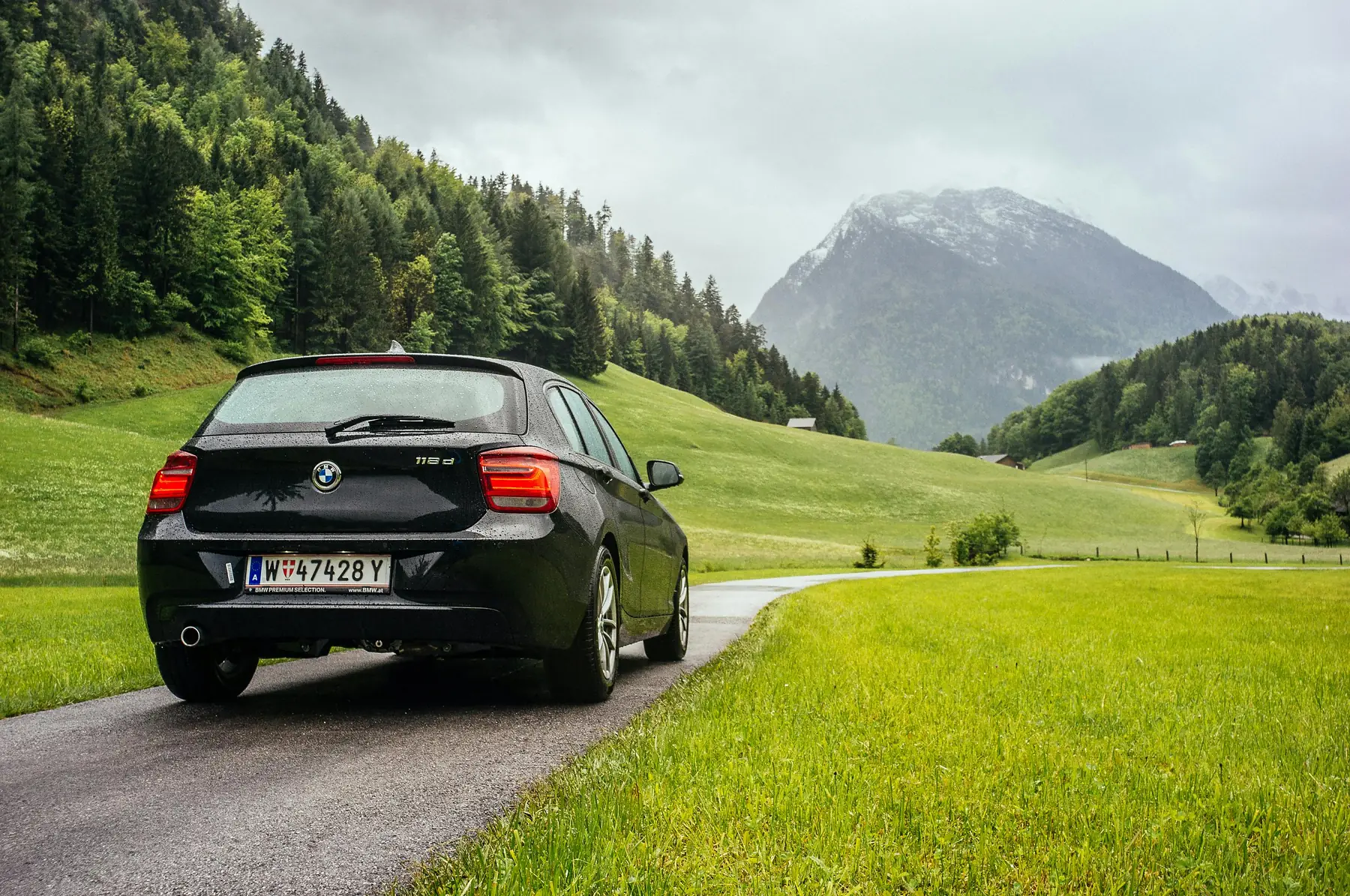
Hire a high-clearance vehicle: a compact SUV at minimum, ideally a proper 4x4 pickup or SUV with two full-size spare tyres. While paving crews advance every year, long stretches south of Villa Cerro Castillo remain loose gravel (ripio), and a low-slung city car will beat itself to pieces on the washboard sections.
Book a one-way rental from Puerto Montt airport with drop-off at Balmaceda airport. The one-way fee typically adds $200 to $400 USD, but it saves you three full days of backtracking. Confirm in writing that the rental agreement permits driving on unpaved roads and includes gravel-damage cover for the windscreen and tyres, as several major agencies exclude both by default. Our car rental guide covers the agencies and paperwork in detail.
The Ferry System
The Carretera Austral is not a continuous road. Between Hornopirén and Caleta Gonzalo the route crosses the roadless fjords of Pumalín on the bimodal ferry connection: a 3.5-hour sailing from Hornopirén to Leptepu, a 10-kilometre drive across the isthmus, and a second 45-minute sailing from Fiordo Largo to Caleta Gonzalo. In high season this runs daily, but vehicle spaces sell out weeks in advance.
Book the Hornopirén–Caleta Gonzalo bimodal ferry the moment your dates are fixed. Vehicle deck space in January and February routinely sells out three to four weeks ahead, and there is no realistic alternative route south short of a full-day detour through Argentina. Reconfirm your sailing 48 hours before departure, and arrive at the ramp at least an hour early; if you miss your slot, your entire itinerary shifts by a day.
Direction: Why North to South
Driving north to south lets the landscape build. You start in the settled Lakes District, cross into the rainforest fjords, and finish in the open steppe of Valle Chacabuco with the trip’s biggest skies. It also puts the ferry crossing, the least flexible link in the chain, right at the start, when a delay costs you a buffer day rather than your flight home. Flights out of Balmaceda to Santiago are frequent and reasonably priced year-round.
Fuel discipline is the golden rule of the Carretera Austral. Reliable stations exist in Puerto Montt, Hornopirén, Chaitén, La Junta, Coyhaique, and Cochrane, and effectively nowhere in between. Never let the tank drop below half before asking where the next pump is, and carry cash: card terminals in the smaller settlements fail regularly, and BancoEstado ATMs are limited to Chaitén, Coyhaique, and Cochrane.
Day 1: Puerto Montt to Hornopirén, Onto Route 7
Fly into Puerto Montt (PMC) on a morning flight from Santiago and collect your vehicle at the airport. Before leaving the city, do your big shop: Puerto Montt has the last full-size supermarkets until Coyhaique on Day 6, so stock a cool box with breakfasts, trail lunches, and emergency snacks, and withdraw more cash than feels sensible.
The first 45 kilometres to Caleta La Arena are smooth tarmac hugging the Reloncaví estuary. A short, frequent ferry shuttles you across to Caleta Puelche (no booking needed, just queue and pay at the ramp), and from there the road narrows and empties as it winds south to Hornopirén, a fishing village wedged between a volcano and the fjord. Check into a cabaña, eat early, and prepare for a dawn start: the big ferry leaves in the morning and waits for nobody.
Day 2: The Bimodal Ferry Across Pumalín to Chaitén
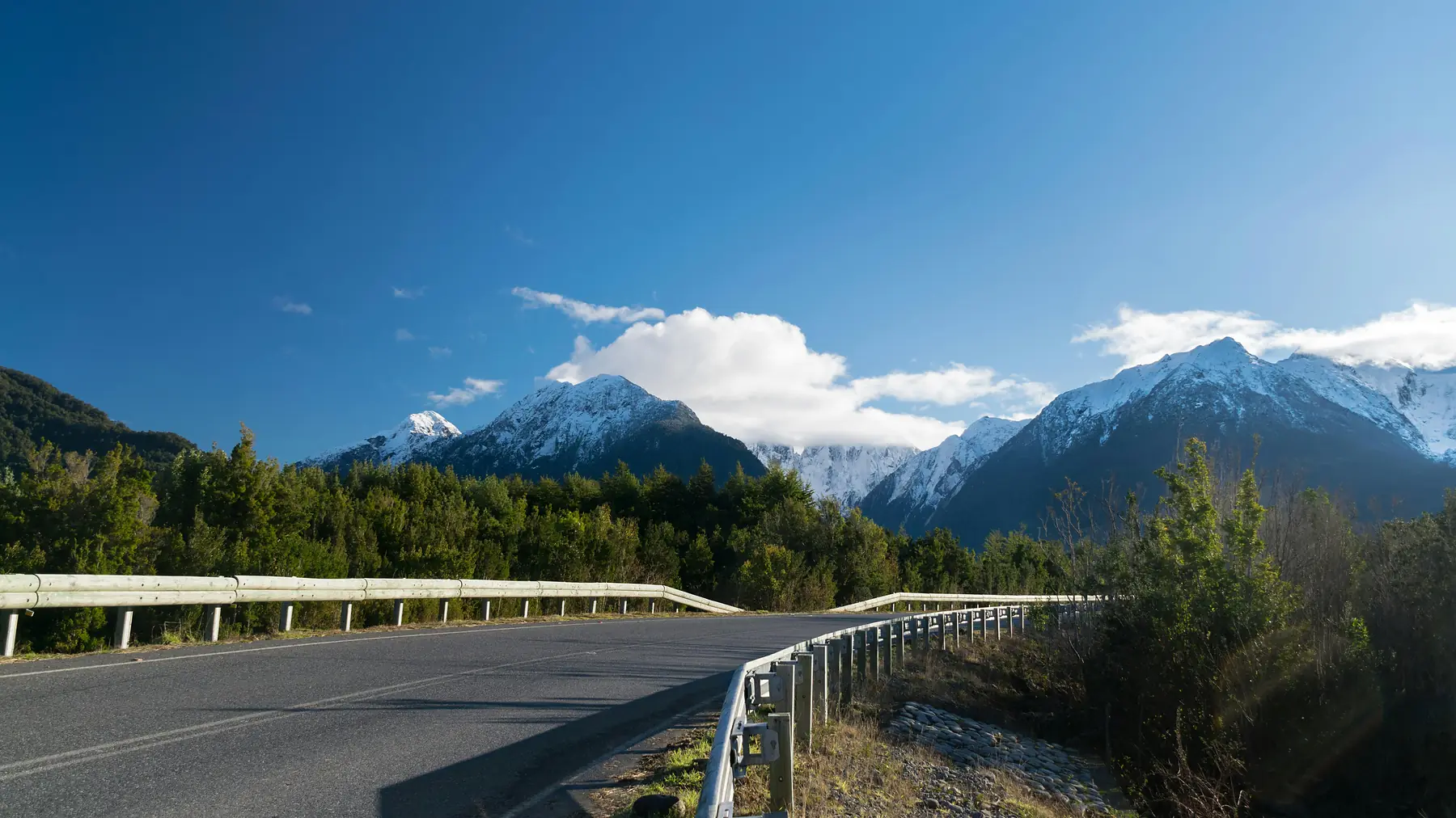
This is the day the trip stops feeling like a drive and starts feeling like an expedition. The bimodal connection carries you through fjordland with no road access at all: 3.5 hours down the Comau fjord from Hornopirén to Leptepu, a short forest drive across the isthmus, then the second sailing into Caleta Gonzalo, the northern gateway of Pumalín Douglas Tompkins National Park.
From Caleta Gonzalo the road tunnels through some of the densest temperate rainforest on earth, past nalca leaves the size of umbrellas and waterfalls dropping straight onto the verge. If you land early enough, stretch your legs on the Cascadas Escondidas trail or the short Alerce loop, which passes 3,000-year-old alerce trees. Continue to Chaitén for the night, a town half-buried by its own volcano in 2008 and defiantly rebuilt since. The climb to the still-steaming crater rim of Volcán Chaitén (4.4 kilometres round trip, steep) is a superb add-on if the ferry timings cooperate.
Pumalín’s trailheads are spread along 60 kilometres of road and have no ticket offices; the park is free but services are minimal. Photograph the trail map boards at Caleta Gonzalo, download offline maps before you sail, and assume you will have no phone signal at all between Hornopirén and Chaitén.
Days 3–4: The Whitewater Detour to Futaleufú
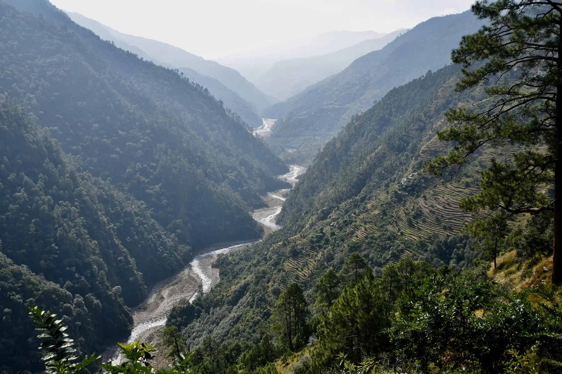
Leave Chaitén on Day 3 and drive south to the junction at Villa Santa Lucía, then turn east up the valley toward Futaleufú, roughly 155 kilometres and four hours of mixed surfaces from Chaitén. The scenery shifts with every bend, from braided rivers and hanging valleys to the village itself, a grid of painted timber houses ringed by granite walls a few kilometres from the Argentine border.
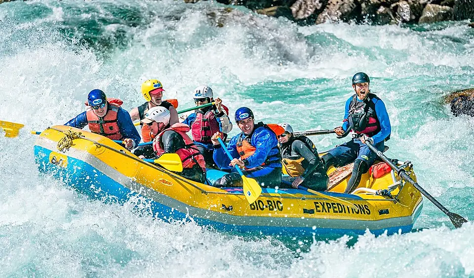
Day 4 is the reason you came: the Río Futaleufú is ranked among the top handful of raftable rivers on the planet, a sequence of Class IV–V rapids running an unreal glacial turquoise. Join a full-day rafting trip with one of the established operators in the village; all run December to March, with safety kayakers as standard. If big whitewater is not your thing, the same operators offer gentler floats on the Río Espolón, and the day hike to the Piedra del Águila viewpoint earns you the classic panorama over the river canyon.
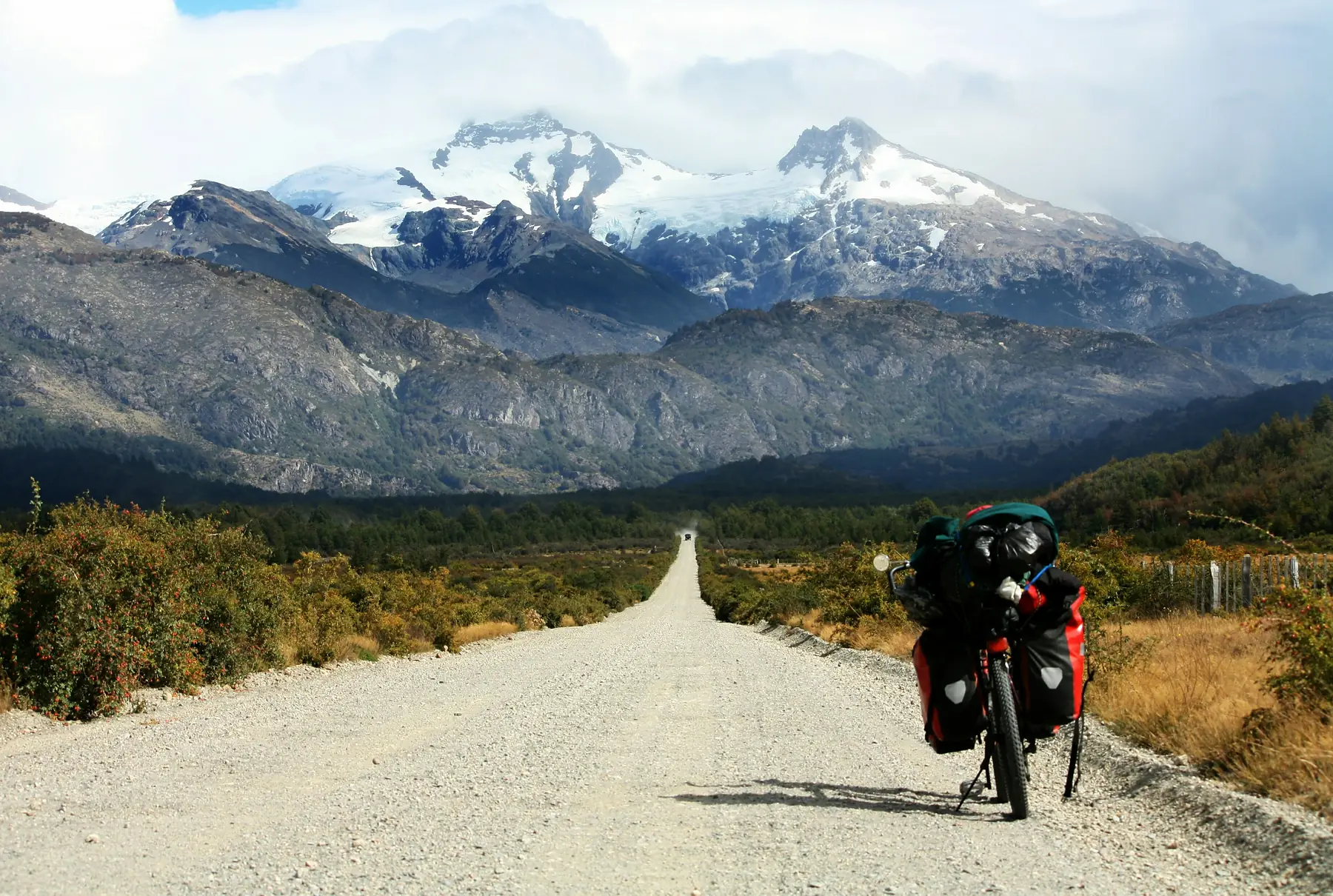
Day 5: The Rainforest Cruise from La Junta to Puyuhuapi
Retrace the valley road back to the Carretera Austral and turn south. Today is the gentlest driving day of the trip: around five hours total, through moss-draped forest to La Junta, a good fuel and lunch stop, and on to Puyuhuapi, a village founded by four German settlers in 1935 at the head of a Pacific fjord. The bakery still sells küchen, and the sunset over the water from the costanera is one of the quiet highlights of the whole route.
End the day at the Termas del Ventisquero, riverside thermal pools a few kilometres south of the village, where you can soak with a view straight down the fjord. Book accommodation in Puyuhuapi itself; it positions you 25 minutes from the Queulat trailhead for tomorrow’s early start.
Day 6: The Hanging Glacier of Queulat, then over the Pass to Coyhaique
Arrive at the Queulat National Park entrance for opening time. The park’s signature walk climbs through dripping rainforest to the Mirador Ventisquero Colgante for a face-on view of the Hanging Glacier, a tongue of blue ice spilling over a cliff edge between two waterfalls that plunge into Laguna Témpanos below. The mirador trail is around 6.5 kilometres round trip with a steady 300-metre climb; allow three hours including a long pause at the top.
Queulat National Park caps daily visitor numbers and requires tickets to be purchased online in advance through CONAF’s booking system; there is no guarantee of paying at the gate in high season. Book your morning slot when you book your ferries. If the reservation system shows no availability, the short boat across Laguna Témpanos (bookable locally) offers an alternative view of the glacier from below.
Back at the car, the road immediately climbs the Queulat pass, a famous staircase of hairpin switchbacks, still gravel, through cloud forest. Over the top, the landscape dries and opens as you descend toward Coyhaique, the only real city on the route. Arrive by evening, refuel everything (vehicle, cash, food supplies), and enjoy the best restaurant selection between Puerto Varas and Punta Arenas.
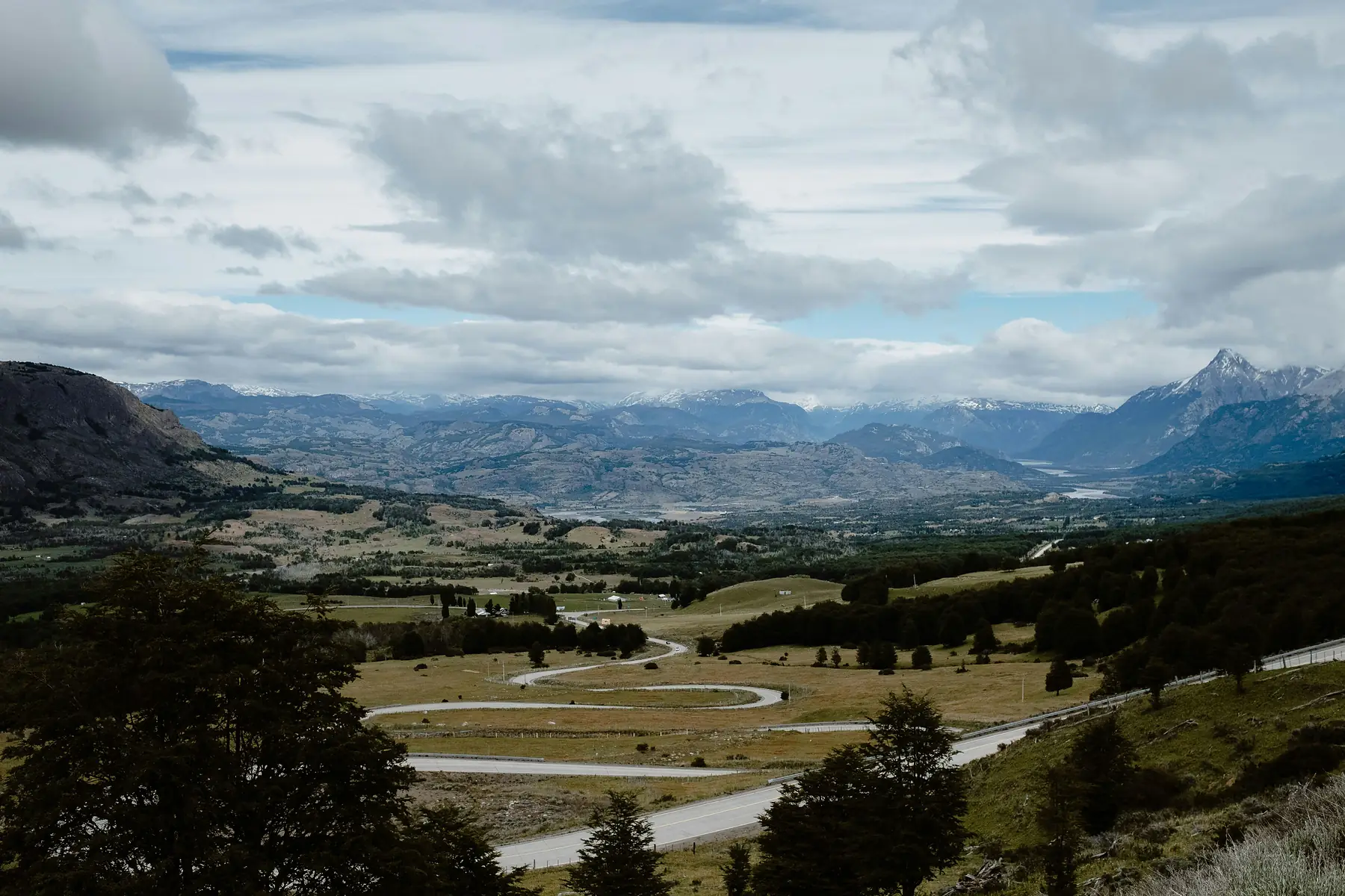
Day 7: Villa Cerro Castillo, the Basalt Cathedral
A smooth 90-minute drive south on fresh tarmac brings you to Villa Cerro Castillo, a dusty crossroads village beneath one of Patagonia’s most dramatic skylines: the black basalt spires of Cerro Castillo, draped in hanging glaciers.
Drop your bags and tackle the day hike to Laguna Cerro Castillo. The trail climbs relentlessly from the valley floor to a milky-blue lagoon directly beneath the summit towers: around 14 kilometres round trip with roughly 1,000 metres of ascent, and the final section on loose scree. It is the toughest walk of this itinerary and frequently compared to the Torres del Paine base towers hike, with a tenth of the foot traffic. Access crosses private land with a modest trail fee payable at the entrance; carry cash. If the wind forecast is violent, save your legs and take the shorter Mirador Río Ibáñez walk instead.
Check the forecast the night before and treat Cerro Castillo exactly as you would Fitz Roy: it is an exposed alpine climb that is miserable and genuinely hazardous in high wind. This itinerary’s structure gives you a fallback: if Day 7 is stormy, you can swap the hike into the morning of Day 8 and still reach Puerto Río Tranquilo by evening.
Days 8–9: Puerto Río Tranquilo, the Marble Caves and the Exploradores Valley
On Day 8, drive the shore of Lago General Carrera, South America’s second-largest lake and an implausible electric blue, to the hamlet of Puerto Río Tranquilo. This stretch is classic ripio: allow three hours for 115 kilometres and enjoy every kilometre of it.
In the afternoon, take a boat or, on a calm day, a guided kayak tour to the Capillas de Mármol, the Marble Caves. Six thousand years of wave action have carved swirling blue-and-white chapels, arches, and caverns into a marble peninsula; small boats slide right inside the formations. Trips run from the beach in town, take around two hours, and are entirely wind-dependent, which is another reason this itinerary gives Tranquilo two nights.
Day 9 heads west up the X-728, the side road toward Bahía Exploradores. The valley drive alone justifies the day, with glaciers pouring off the flanks of Monte San Valentín, the highest peak in Patagonia, and it ends near the viewpoint over Glaciar Exploradores, a debris-covered tongue of the Northern Patagonian Ice Field. Guided glacier walks onto the ice run from Tranquilo when conditions allow; book the evening you arrive.
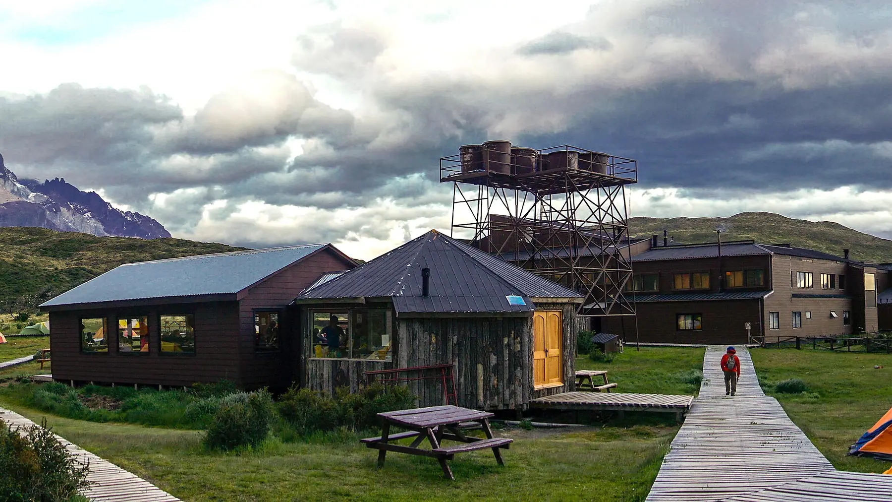
Days 10–11: The Wild Finale in Patagonia National Park and Cochrane
Continue south on Day 10 around the lake to Cruce El Maitén and on toward Cochrane. Just before town, turn into the Valle Chacabuco entrance of Patagonia National Park, the former sheep estancia transformed by Tompkins Conservation into one of the great rewilding projects on earth. The transformation is immediate: guanacos graze in their hundreds along the park road, and this is one of the best places in Chile to spot huemul deer and, with real luck, a puma. Drive the valley road to the Casa Piedra sector, walk the short Confluencia loop, and settle into Cochrane, the last town of any size on the southern Carretera, for the night.
Day 11 is for the park’s signature walk: the Lagunas Altas loop from the Westwinds sector, a 23-kilometre circuit climbing through native steppe to a chain of alpine lakes with the Chacabuco valley unrolled below. It is long but never technical; carry the full day’s food and water, as the park has no services beyond the visitor centre.
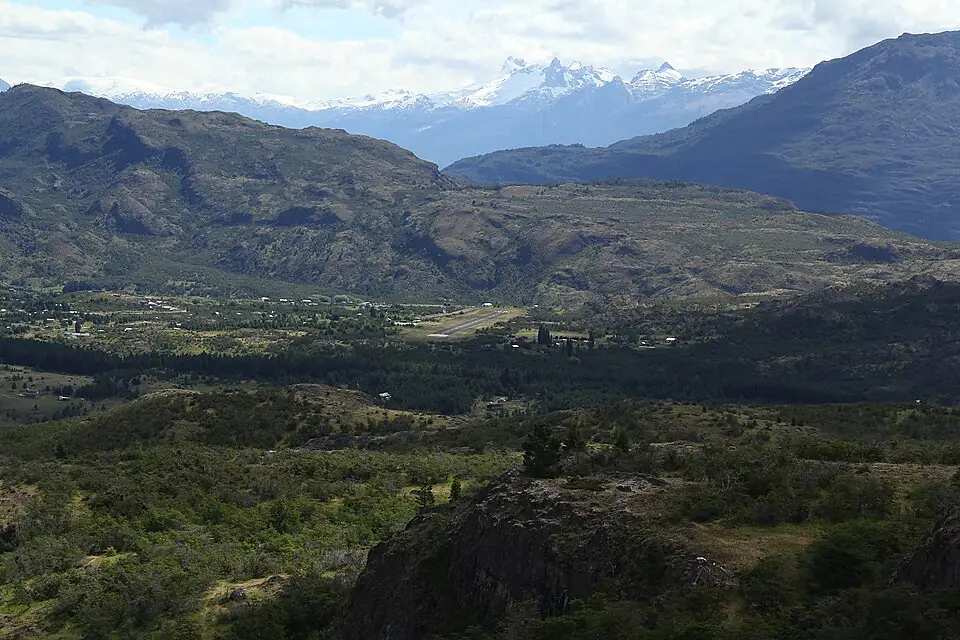
Day 12: The Long Road Back to Balmaceda
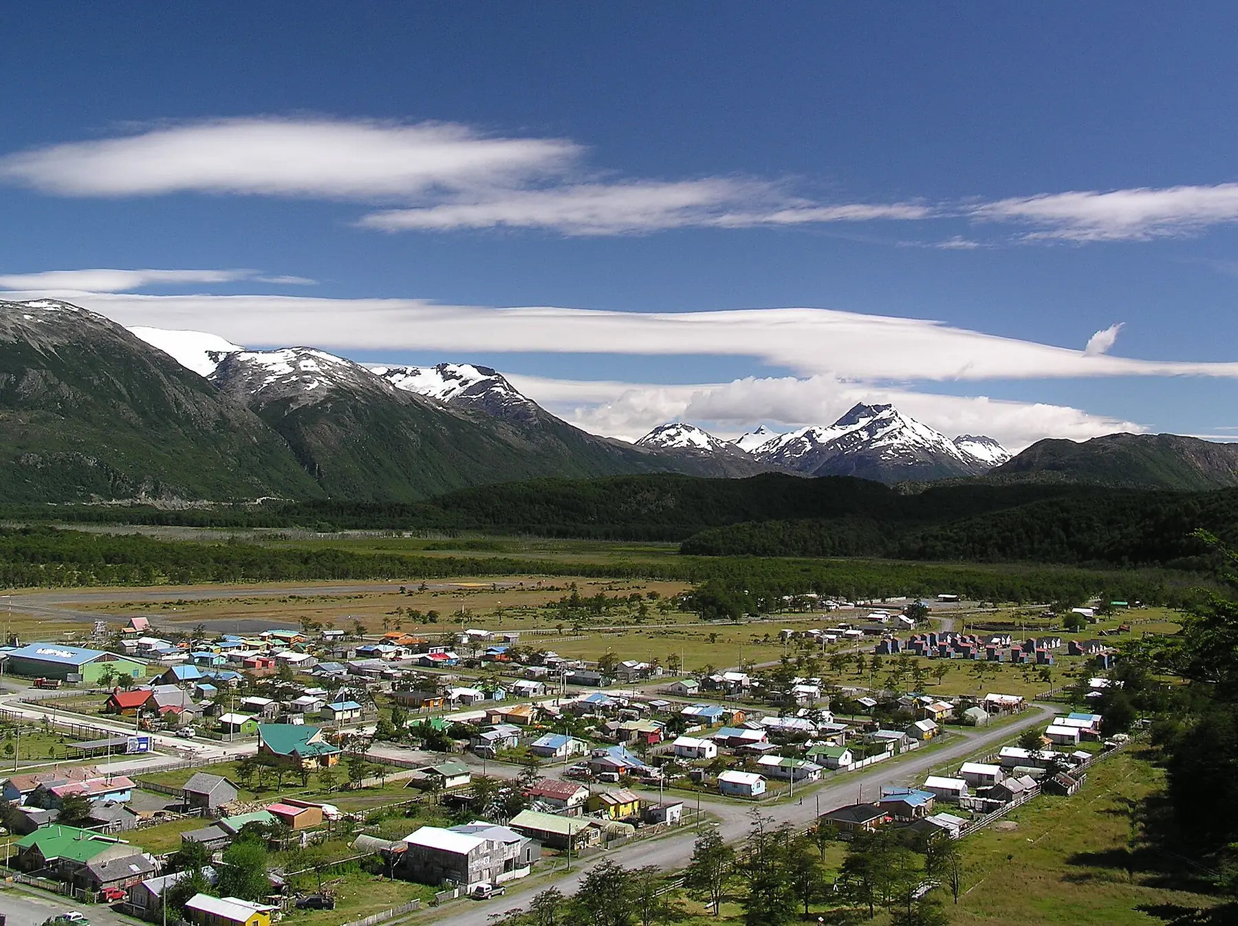
Departure day is a proper drive: roughly 330 kilometres back north from Cochrane to Balmaceda airport, six to seven hours on mixed gravel and tarmac. Leave early, fill the tank in Cochrane, and treat the drive as a farewell lap; the light on Cerro Castillo and Lago General Carrera is completely different heading north.
Book an evening flight out of Balmaceda (BBA), never a midday one, and aim to reach the airport two hours before departure. A puncture on the ripio south of Cerro Castillo is routine rather than exceptional, and there is precisely one road north. If your onward international connection is tight, add a buffer night in Coyhaique on the way up; it converts the itinerary’s only stressful day into an easy one.
Drop the vehicle, board the flight to Santiago, and watch twelve days of road unspool beneath the wing in about ninety minutes.
Practical Notes and Variations
Driving on Ripio
Gravel driving has its own rules. Slow down long before you think you need to, especially into corners and oncoming dust clouds; keep well back from vehicles ahead to protect your windscreen; and never swerve for washboard, just slow through it. Check your spare (both, ideally), jack, and wheel brace before leaving Puerto Montt, and learn where they live in the vehicle. Paving advances every season, so expect short stretches of roadworks with timed one-way convoys, and build slack into every driving estimate.
If You Have Less Time: The 7-Day Northern Half
With only a week, drive Puerto Montt to Coyhaique and fly out of Balmaceda: Days 1 to 6 of this itinerary plus a buffer day. You keep the ferries, Pumalín, Futaleufú, and Queulat, and skip the longest gravel. Alternatively, fly into Balmaceda and do the southern half only, taking in Cerro Castillo, the Marble Caves, and Patagonia National Park as an out-and-back.
If You Have More Time: To the End of the Road
With two or three extra days, continue from Cochrane to the road’s end. Caleta Tortel, a fishing village built entirely on cypress boardwalks with no streets at all, is a half-day detour, and Villa O’Higgins sits at the very terminus of Route 7, one final free ferry crossing away. Hardy travellers can even continue on foot and by boat across the border to El Chaltén via the famous two-day crossing; see our border crossings guide before attempting it, as boat schedules are weather-dependent and infamously changeable.
FAQ
Do I really need a 4WD for the Carretera Austral?
You need high clearance more than four-wheel drive. In the December-to-March season a well-driven high-clearance SUV handles every section of this itinerary, including the Exploradores Valley road. What you should not bring is a low-slung city car: the washboard gravel, potholes, and occasional fords will punish it. A genuine 4x4 buys extra margin in heavy rain and on roadwork diversions, and rental prices between the two are often close enough that the upgrade is worth it. Whatever you hire, insist on gravel-road authorisation in the contract and inspect the spare tyres before driving away.
Can I travel the Carretera Austral without a car?
Yes, but budget significantly more time. Minibuses connect the towns along the route, though on the quieter southern sections some run only a few times per week, and the region’s famous hitchhiking culture fills the gaps. Without your own vehicle, the same ground covered by this 12-day driving route needs closer to three weeks, and you lose the freedom to chase weather windows for Queulat, Cerro Castillo, and the Marble Caves. Our getting around guide covers the bus network in detail.
How far in advance do I need to book the ferries?
For January and February departures, book the Hornopirén–Caleta Gonzalo bimodal ferry as soon as your dates are fixed: three to four weeks ahead at an absolute minimum, and earlier if you can. Vehicle deck space is the constraint; foot passengers can usually find room later. The short Caleta La Arena crossing on Day 1 needs no booking. In December and March, one to two weeks ahead is usually sufficient, but the daily sailing frequency also drops, so confirm the timetable before locking in accommodation.
What is the road actually like, and how much is paved?
The surface changes constantly, and paving crews extend the tarmac every season. As a broad guide, the stretches around Puerto Montt, Chaitén to Villa Santa Lucía, and Coyhaique to Villa Cerro Castillo are largely paved, while much of the lakeshore to Puerto Río Tranquilo and the road south to Cochrane remains gravel. Assume an average speed of 50 to 60 km/h on ripio when planning your days, and treat any drive-time estimate you read, including ours, as optimistic in bad weather.
When is the best time of year to drive the Carretera Austral?
December to March is the reliable window, when ferries run at full frequency, rafting operators are open in Futaleufú, and daylight stretches past 21:00. January and February bring the most stable weather and the most traffic (by Aysén standards, still almost none). December offers lupins in bloom and quieter trails; March brings autumn colour to the lenga forests and the first frosts. Outside this window, ferry schedules thin dramatically, many cabañas and operators close, and snow can shut the Queulat pass.
Is there fuel and cash along the route?
Fuel is available with certainty in Puerto Montt, Hornopirén, Chaitén, La Junta, Coyhaique, and Cochrane, with smaller and less reliable pumps elsewhere (Puerto Río Tranquilo often sells from drums in high season). The rule is simple: fill up at every reliable station regardless of your gauge. Cash matters just as much, because BancoEstado ATMs exist in Chaitén, Coyhaique, and Cochrane only, and many cabañas, campsites, trail fees, and boat operators are cash-only. Withdraw generously in Puerto Montt and top up in Coyhaique.
Can I combine the Carretera Austral with Torres del Paine or El Chaltén?
Not easily in the same trip without flying. Balmaceda has connections to Santiago rather than direct flights to Puerto Natales, so most travellers treat the Carretera Austral as its own trip or pair it with the Chilean Lakes District. The adventurous exception is continuing south from Villa O’Higgins on the two-day boat-and-hike border crossing to El Chaltén, one of the great overland journeys in South America, but it is only viable if you finish your rental in Coyhaique and travel the last stretch by bus. If your heart is set on the trekking big three, our 3-week hiking expedition covers them properly.
Is the Carretera Austral safe to drive?
Yes, with respect for the conditions. There is almost no traffic, no crime to speak of, and the hazards are entirely environmental, including loose gravel, blind crests, stray livestock, and drivers underestimating corners. The real risks are a puncture without a serviceable spare and running the tank low between stations, both fully preventable with preparation. Phone signal is absent for hours at a time, so download offline maps, tell your accommodation your plans each day, and carry warm layers, water, and food in the vehicle as a matter of routine.