
Torres del Paine Weather: Monthly Guide & Climate Data (2026)
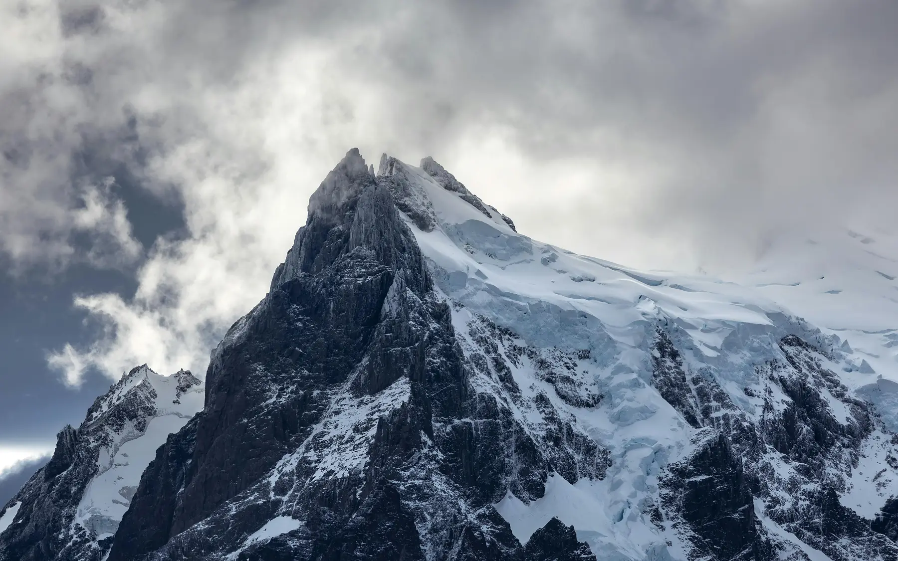
Torres del Paine weather is defined by its extreme volatility, where temperatures, wind, and precipitation can shift through all four seasons within a single afternoon. While conditions are famously unpredictable, the park follows distinct monthly patterns that dictate everything from trail safety on the O Circuit to the amount of daylight available for reaching Base Las Torres.
Understanding these mechanics is essential for any traveler visiting Torres del Paine National Park. Because the park sits at the intersection of the Southern Patagonian Ice Field, the Pacific Ocean, and the Andes Mountains, it creates its own microclimates that often defy the general regional forecast. This guide provides the specific climate data and seasonal breakdowns you need to prepare for the 2026–2027 trekking season.
Torres del Paine Climate at a Glance
- Warmest Months: December to February (Average highs of 17°C / 63°F)
- Coldest Months: June to August (Average lows of -3°C / 27°F)
- Windiest Season: Late Spring and Summer (November to January)
- Wettest Months: March and April (Autumn)
- Peak Daylight: ~17 hours (December solstice)
- Minimum Daylight: ~8.5 hours (June solstice)
The Mechanics of Patagonian Weather
The weather in Torres del Paine is a product of three massive geographic forces colliding. To the west lies the Pacific Ocean, which sends moisture-laden air crashing into the wall of the Andes. To the north and west is the Southern Patagonian Ice Field, a massive body of ice that acts as a permanent refrigerator, cooling any air that passes over it. Finally, the open plains of the Argentine steppe to the east create a pressure vacuum that pulls weather systems through the park at high speeds.
This creates a pronounced rain shadow effect. The western sectors of the park, such as the area surrounding Grey Glacier, receive significantly more precipitation than the eastern entrance at Laguna Amarga. When moist Pacific air hits the mountains, it rises, cools, and dumps rain or snow on the western slopes before reaching the drier eastern side.
Antarctica also plays a role. Even in the height of summer, the Southern Ocean can funnel sudden cold fronts northward. These “southerlies” can drop temperatures by 10 degrees Celsius in an hour, turning a mild afternoon into a freezing evening. This is why local guides emphasize that these patterns are measurable, but never guaranteed.
Torres del Paine Weather by Month: Climate Table
The following data represents historical averages specifically for the Torres del Paine weather station (Serrano/Administration area). It is important to note that “RealFeel” or wind-chill temperatures are often 5–7 degrees lower than the ambient figures shown here due to the persistent humidity and wind.
| Month | Avg High (°C/°F) | Avg Low (°C/°F) | Rainfall (mm) | Rain Days | Avg Wind (km/h) | Daylight Hours |
|---|---|---|---|---|---|---|
| January | 18 / 64 | 7 / 45 | 45 | 11 | 35 | 16.5 |
| February | 17 / 63 | 7 / 45 | 45 | 10 | 32 | 14.5 |
| March | 15 / 59 | 5 / 41 | 65 | 12 | 28 | 13.0 |
| April | 11 / 52 | 3 / 37 | 75 | 13 | 22 | 11.0 |
| May | 8 / 46 | 1 / 34 | 60 | 12 | 18 | 9.5 |
| June | 5 / 41 | -2 / 28 | 50 | 11 | 15 | 8.5 |
| July | 4 / 39 | -3 / 27 | 45 | 11 | 16 | 9.0 |
| August | 6 / 43 | -2 / 28 | 40 | 10 | 20 | 10.5 |
| September | 10 / 50 | 1 / 34 | 35 | 9 | 25 | 12.0 |
| October | 13 / 55 | 3 / 37 | 35 | 8 | 30 | 13.5 |
| November | 15 / 59 | 5 / 41 | 35 | 9 | 33 | 15.5 |
| December | 17 / 63 | 7 / 45 | 40 | 10 | 36 | 17.0 |
The Infamous Patagonian Wind
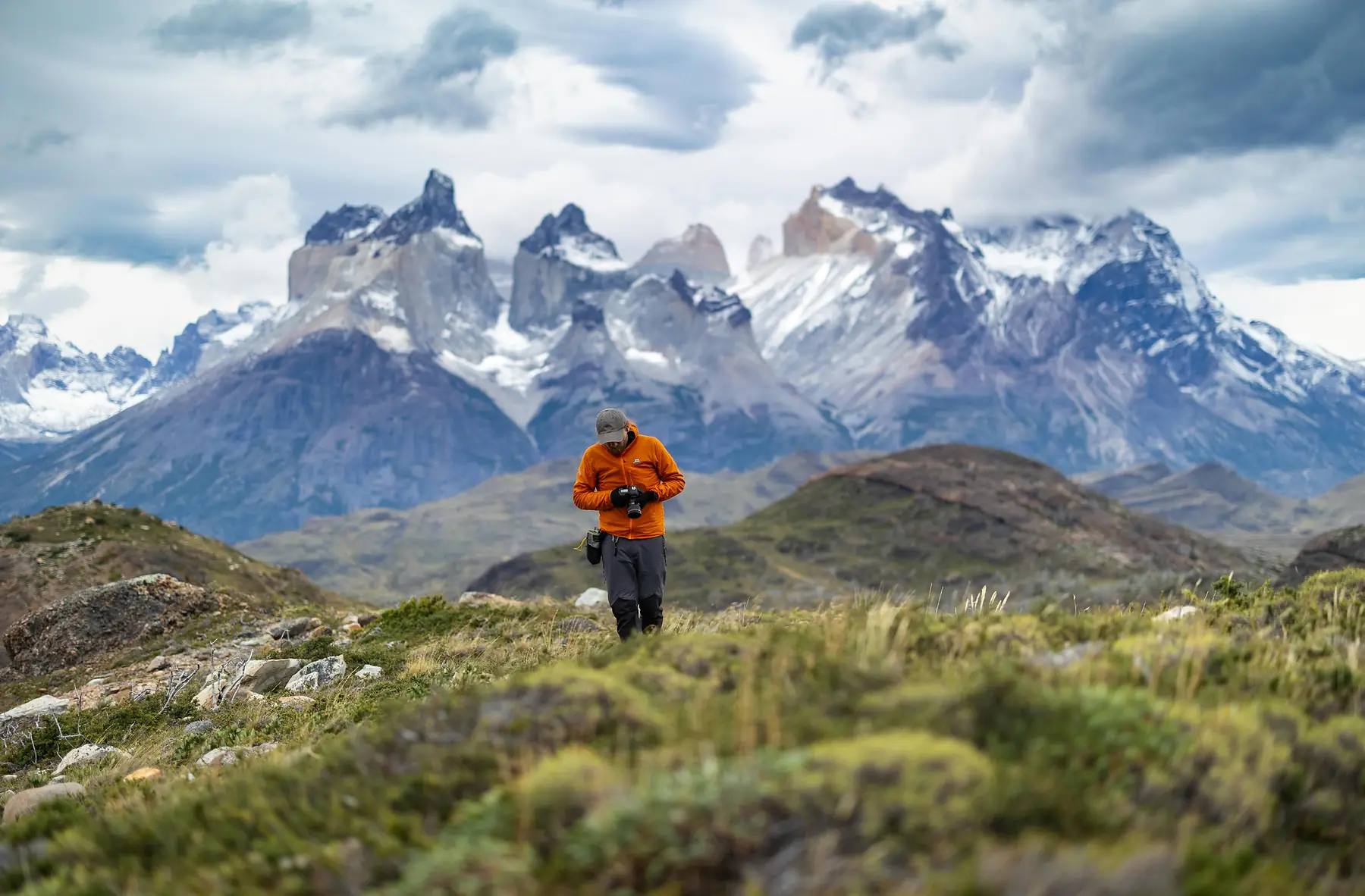
Wind is the most dominant factor for anyone hiking the W Trek or the O Circuit. During the summer months, the temperature difference between the ice field and the warming land creates intense pressure gradients. This results in sustained westerly gales that can reach 60–80 km/h, with gusts frequently exceeding 100 km/h.
These winds do more than just lower the temperature. They can make walking with a heavy pack physically exhausting and, in extreme cases, dangerous. High-clearance vehicles and hikers are restricted from certain areas when gusts reach dangerous levels.
Do not attempt to cross the Paso John Gardner on the O Circuit if winds are forecasted above 70–80 km/h. CONAF rangers at the Coirón or Dickson campsites often close the pass during high-wind events to prevent hikers from being blown off balance on the exposed, steep scree slopes.
The wind typically follows a daily cycle. It is often calmest at dawn, building in intensity through the afternoon, and peaking between 2:00 PM and 6:00 PM. If you have a particularly exposed section of trail to cover, such as the trek from Paine Grande to Refugio Grey, an early start can help you avoid the most punishing gusts.
Spring Weather (September to November)
Spring is a season of rapid transition. In September, the park begins to wake up, but the weather remains temperamental. While the average temperatures climb steadily toward 15°C (59°F), late-season frosts are common through October.
Rainfall in spring is statistically lower than in autumn, with September and October often being the driest months of the year. However, the weather is less stable; you might experience a perfectly still, sunny morning followed by a heavy snow squall. This is the time when the Calafate bushes begin to bloom and the park’s birdlife becomes most active. For hikers, the primary concern is lingering snow. High passes like the Paso John Gardner often remain under deep snow until late November, requiring gaiters and occasionally traction aids.
Summer Weather (December to February)
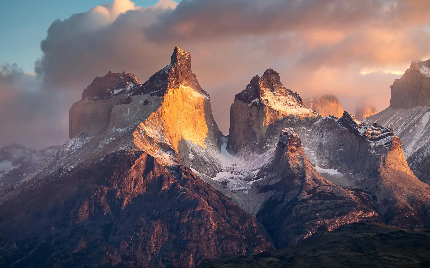
Summer provides the warmest temperatures and the most reliable access to the park’s interior. Daytime highs average 17°C (63°F), though on rare, still days, the temperature can feel significantly warmer under the intense southern sun.
However, summer is also the peak season for wind. The trade-off for the warmer air is the near-constant presence of the Patagonian gales. This period also offers the greatest flexibility for trekking logistics due to the massive window of daylight. In late December, the sun rises around 5:30 AM and does not set until nearly 10:00 PM.
The intense UV radiation at this latitude means you can burn in under 15 minutes, even when the air temperature feels cool. Always apply high-SPF sunscreen to your face and neck, even on overcast or windy days.
Because of the favorable light and temperatures, this is the most popular time for the W Trek. Just be prepared for the fact that “summer” in Patagonia still requires a full 4-season layering system.
Autumn Weather (March to May)
Many experienced travelers consider autumn to be the most beautiful season in the park. By late March, the wind speeds begin to drop significantly, leading to the “calm” season. This lack of wind makes the park’s many lakes—Nordenskjöld, Pehoé, and Grey—act like mirrors, reflecting the granite peaks with perfect clarity.
Temperatures begin a steady decline, especially after the sun sets. By May, daytime highs rarely exceed 8°C (46°F), and nighttime frost becomes a nightly occurrence. While March and April are statistically the wettest months, the precipitation often takes the form of a persistent, fine drizzle rather than the violent storms seen in spring. The primary draw during these months is the changing foliage, as the Lengas and Ñirres forests turn vibrant shades of red and orange.
Winter Weather (June to August)
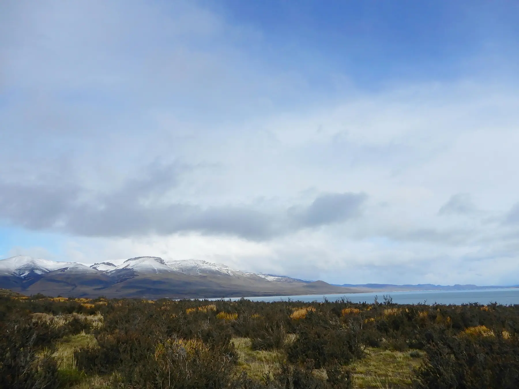
Winter in Torres del Paine is characterized by short days, cold temperatures, and a profound sense of solitude. Most of the park’s infrastructure, including the majority of refugios and campsites, closes during these months. The O Circuit is strictly closed from April 1st through October 31st due to snow and safety risks.
Daylight is the most limiting factor, with only 8 to 9 hours of usable light in June. While snow is common, it rarely accumulates to great depths at the lower lake levels. However, higher elevations like the base of the Towers can see significant snowpack.
- Avg High: 17°C vs 5°C
- Wind Risk: High vs Low
- Daylight: 17 hrs vs 9 hrs
- Trail Access: All trails open vs Limited/Guided only
Summer is the only choice for the full O Circuit, while Winter is for those seeking solitude via guided day trips or limited W Trek sections.
Microclimates: Why the Weather Changes as You Hike
One of the most common mistakes hikers make is checking the forecast for the park entrance and assuming it applies to the entire trek. The park’s dramatic topography creates distinct microclimates that can vary by 5–10 degrees Celsius over just a few kilometers.
The Glacier Effect
Areas directly adjacent to the Southern Patagonian Ice Field, such as Glaciar Grey, are consistently colder. The massive volume of ice creates its own katabatic winds: cold air that sinks off the glacier and flows down the valley. Even on a warm day, expect the temperature to drop by at least 5°C as you approach the glacier lookouts.
Altitude Variance
The ascent to Mirador Las Torres involves a gain of roughly 800 meters from the valley floor. For every 100 meters of elevation gain, you can expect a temperature drop of approximately 0.6°C. When you add the increased wind exposure at the moraine, the temperature at the base of the Towers is often 8–10 degrees colder than at the trailhead near Hotel Las Torres.
Valley Wind Tunnels
The Francés Valley acts as a natural wind tunnel. Because it is flanked by the massive walls of the Paine Grande and the Los Cuernos, wind is funneled through the valley with increased velocity. Hikers often find that a calm day at the Italian Campsite turns into a battle against gusts once they begin ascending toward the Británico Lookout.
How to Check the Forecast in the Park
In Patagonia, a forecast is a suggestion, not a promise. The 24-hour rule applies: any forecast beyond 24 hours is highly speculative. For the most accurate data, you should check the forecast every morning before leaving your camp or refugio.
Ranger stations (Guardaparques) receive daily radio updates on weather and trail conditions. Always check the whiteboard at the station before starting a major leg of the trek, especially if you are heading over a pass.
If you have satellite internet or a local SIM card, use the following resources:
- Windy.com: Use the ECMWF model specifically, as it tends to be the most accurate for the complex topography of the Andes.
- MeteoChile: The official national service provides the most reliable data for regional fronts.
- YR.no: A Norwegian service that is surprisingly accurate for mountainous, high-latitude regions like Patagonia.
Related guides
To go deeper into planning your journey, explore our detailed resources on timing and preparation.
FAQ
- QUESTION: Does it snow in Torres del Paine during the summer?
- ANSWER: While rare at lake level, it is common to see light snowfall at higher elevations like Paso John Gardner or Base Las Torres even in January and February.
- QUESTION: What is the windiest month in Torres del Paine?
- ANSWER: December and January are statistically the windiest months in the park, with gusts frequently reaching 80–100 km/h due to the summer pressure gradients.
- QUESTION: How much does it rain in Torres del Paine?
- ANSWER: The park receives approximately 700mm to 1,000mm of rain annually in the western sectors, while the eastern pampa receives closer to 400mm. March and April are generally the wettest months.
- QUESTION: Is the weather in Torres del Paine different from Puerto Natales?
- ANSWER: Yes, Torres del Paine is significantly more volatile and windier than Puerto Natales due to its proximity to the Southern Patagonian Ice Field and higher elevation.
- QUESTION: What are the average summer temperatures in Torres del Paine?
- ANSWER: During the summer (December–February), average daytime highs are around 17°C (63°F), while nighttime lows typically drop to 7°C (45°F).
- QUESTION: How many hours of daylight does Torres del Paine get in December?
- ANSWER: At the summer solstice in late December, the park enjoys nearly 17 hours of daylight, with the sun rising around 5:30 AM and setting near 10:00 PM.