
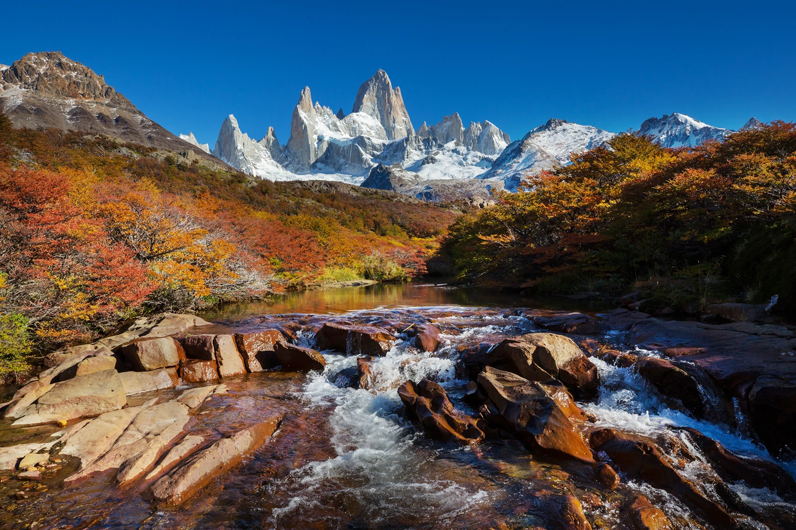
Laguna Capri Hike:
A Half Day Beneath Fitz Roy
Climb from El Chaltén through lenga forest to a mountain lake, where the Fitz Roy massif rises beyond the shore when the clouds clear.
Getting to the Laguna Capri trailhead
Walk north along Avenida San Martín to Portal Base Fitz Roy, where the town meets the national park. Follow the signs for Laguna Capri and Laguna de los Tres at the trail entrance. The standard route starts here and returns to the same place; it does not require a transfer. A taxi can shorten the walk across town if needed, but arrange it locally and agree the fare first.
The municipal trail map gives 4 km and 1 hour 45 minutes one way to Capri, with 350 m of height gain. Our 4-5 hour allowance includes the return and time at the lake. Add the walk between your accommodation and the portal, and allow extra time if visiting the separate viewpoint. Height gain is the map figure, not a GPS measurement of every rise and descent.
The map below marks the trailhead and the Laguna Capri destination area, not a surveyed trail line. The lake-area coordinate is published by Los Glaciares trail information; the trailhead pin is approximate. Use the municipal map and park signs for navigation, and save a map for offline use.
For town orientation and other trailheads, see our El Chaltén map guide.
The walk to Laguna Capri
The route is well signed, but the initial climb is a real part of the outing. Allow time for the ascent and keep enough energy for the descent on the way home.
Climb above the Río de las Vueltas
From the northern trailhead, follow signs for Laguna Capri and Laguna de los Tres. The first kilometre climbs steadily above town to Mirador Río de las Vueltas. Pause here to look back along the river valley and let the steepest part of the opening climb settle into your legs.
Take the branch for Laguna Capri
The gradient eases as the path continues along the hillside and into taller lenga woodland. After roughly 3 km, a signed fork separates the Laguna Capri branch from the route towards Mirador Fitz Roy. Follow the lake signs, keeping an eye on the direction you will need for the return.
Reach the shore and choose your return
The path descends towards the lake, where Fitz Roy rises beyond the water when the sky is clear. Stop at the shore, then retrace the signed lake path to town. If you have time for the viewpoint as well, the path continues past the campsite to a signed junction with the other branch; follow signs for Mirador Fitz Roy and El Chaltén.
At the fork, the viewpoint and lake are different stops. Mirador Fitz Roy gives an open mountain panorama; the Capri branch reaches the shore, with water and forest in the foreground. Clouds can hide the peaks from either place, so a clear forecast makes a difference if the mountain view is your priority.
The branches reconnect beyond the lake and viewpoint. Local trail information suggests allowing about 40 extra minutes to include Mirador Fitz Roy after the lake. Check signs at each junction and allow longer if stopping for photographs. If you prefer the simplest outing, return from the lake on the same branch instead.
Laguna Capri or Laguna de los Tres?
Choose Laguna Capri for a half-day mountain-and-lake walk; continue to Laguna de los Tres for a much longer day and a closer view beneath Fitz Roy. The two destinations share the town approach, but the full hike continues past Poincenot and Río Blanco to a steep, rocky final climb.
If you are already hiking Laguna de los Tres from town, choose the signed Capri branch on the way out or back to see the lake during that day. The alternative branch passes Mirador Fitz Roy, and the paths rejoin beyond them. Plan the extra stop within your daylight and energy budget rather than assuming you can make it up on the final descent.
Capri is also a sensible turnaround if your group is tired or conditions deteriorate early. Decide before committing to the longer route, and remember that the lake at Laguna de los Tres is still several kilometres and a demanding climb away. Our Laguna de los Tres guide covers the full route and its decisions in detail.
Weather, park access and what to bring
Wind and fast-changing weather can make the exposed approach and lakeshore feel much colder than town. Rain can make roots and stones slippery, while snow and ice can linger in colder months. Check the El Chaltén forecast and ask park staff about current trail conditions before leaving. In winter, ask about suitable equipment and turn back if the conditions are beyond your experience.
National park entry is required. As checked on 27 October 2026, APN lists general day entry at ARS 50,000, with different rates and exemptions by category. Check the current price and purchase options for your dates through the official ticket portal. Our park access summary explains the wider arrangements.
Carry water from a potable supply in town, a snack, a warm layer, a waterproof windproof jacket, sun protection and a headtorch. Wear shoes with grip and take an offline map. Pack out everything you bring in and stay on marked paths. The day-hiking packing list covers the rest of the essentials.
If you plan to camp, check the separate campsite booking rules in our El Chaltén camping guide. A park entrance ticket alone does not reserve a pitch.
Frequently Asked Questions
Can beginners hike to Laguna Capri?
Laguna Capri can suit beginners who are comfortable with a half day on their feet and a sustained uphill start. Take your time, wear shoes with grip and turn back if the weather or footing exceeds your experience.
Can I camp at Laguna Capri?
Laguna Capri has a designated campsite, but an overnight stay requires a separate reservation and payment under the current campsite arrangements. Check the booking rules and facilities in our El Chaltén camping guide before making plans.
Do I need a guide for Laguna Capri?
The marked Laguna Capri trail can be walked independently when open and conditions suit your experience. Check the forecast and trail status with park staff, carry an offline map and consider a local guide if you prefer support.
Explore more El Chaltén hikes
Compare short walks, viewpoints and full-day trails for your stay.