
Best Hikes in Puerto Madryn: 7 Top Coastal & Steppe Trails
Hiking in Puerto Madryn is defined by vast coastal horizons and world-class wildlife viewing rather than the vertical challenges of the Andes. While you won’t find granite spires or glaciers here, the trails offer something equally dramatic: the opportunity to trek along fossil-rich cliffs while Southern Right Whales breach just meters from the shore.
Success on these trails requires a shift in mindset. You are trading mountain weather for the relentless Atlantic wind and the dry heat of the Patagonian steppe. Because many of the best routes follow the shoreline, your primary navigational tool isn’t a compass, but a tide table.
Puerto Madryn Hiking at a Glance
- Terrain: Coastal steppe, sandy beaches, and sedimentary cliffs.
- Primary Challenge: High winds and lack of shade.
- Best Season: September to November for mild weather and peak wildlife.
- Wildlife Highlights: Southern Right Whales, sea lions, and guanacos.
- Difficulty: Mostly easy to moderate; elevation gain is minimal.
Essential Logistics: Planning Your Madryn Hikes
The single most important factor for hiking in Puerto Madryn is the tide. Many popular routes, such as the walk to Punta Este or parts of the Cerro Avanzado trail, involve walking along the base of cliffs. At high tide, the water reaches the cliff face, leaving no room to pass and potentially trapping hikers in remote sections.
Always check the Tabla de Mareas (tide table) before setting out. You can find reliable daily updates on the Servicio de Hidrografia Naval website or by asking at the tourist information center on the pier. Aim to start coastal walks at least two hours before low tide to ensure you have a safe window for the return journey.
There are no natural freshwater sources on any of the trails around Puerto Madryn. The combination of intense sun and dry wind can lead to rapid dehydration. Carry at least 2 liters of water per person for any hike longer than two hours.
Beyond the tides, transport is your next logistical hurdle. While some trails start from the city promenade, others like El Doradillo or Punta Loma require a vehicle. If you haven’t rented a car, you can use “Remises” - fixed-price taxis - to reach trailheads. You can book these at agencies throughout the city center; it is often best to arrange a specific pickup time for your return, as mobile signal can be spotty at remote trailheads. For more information on navigating the area, see our Puerto Madryn map.
The Puerto Madryn Hiking Experience: What to Expect
Hiking in the coastal steppe is a sensory experience of extremes, where the lack of verticality is compensated for by the sheer scale of the landscape. The environment is dominated by low shrubs like Jarilla and Quilimbay, which offer no shade from the sun or protection from the wind.
Expect sustained winds that frequently reach 40-50 km/h, which can make even flat sections feel like a physical struggle. The UV index in this part of Patagonia is consistently high during the spring and summer months, frequently reaching levels of 8 to 11 (Very High) between October and December. Sun protection is non-negotiable, even on cool or cloudy days.
The terrain itself is a mix of loose gravel paths, sandy beaches, and firm sedimentary rock. Because the ground is often unstable, sturdy shoes with good traction are better than heavy trekking boots. As you walk, keep your eyes on the ground; the cliffs here are a massive graveyard of marine life from the Miocene epoch, and it is common to see fossilized oyster shells and sea urchins embedded in the rock.
Top Hike 1: Cerro Avanzado & Playa Paraná
The trek to Cerro Avanzado is the most rugged hike accessible from the city, offering a 14km return journey that combines maritime history with panoramic cliff views. The route begins by following the shoreline south from the city center toward Playa Paraná.
The first major landmark is the shipwreck of the “Folias,” a fishing vessel that ran aground in December 1980 after a fire on board. Its rusted hull is visible from the shore and serves as a popular photography spot. From Playa Paraná, the trail climbs toward the summit of Cerro Avanzado, which stands approximately 102 meters above sea level.
From the top, you are rewarded with a 360-degree view of the Golfo Nuevo and the surrounding steppe. The descent takes you through canyons of yellow and white sedimentary rock where you can spot marine fossils. Remember that it is strictly forbidden to remove any fossils from the area. For a broader look at the region, visit our Puerto Madryn guide.
Top Hike 2: El Doradillo Coastal Path (Whale Watching)
The El Doradillo path is the premier trail for shore-based whale watching, located roughly 15km north of Puerto Madryn. As of the 2025 season, the first 8km of Route 42 (RP 42) leading to the area are paved, providing smooth access to the first entrance of the Protected Area; however, the final 4km stretch to Playa Las Canteras remains gravel (ripio) but is well-maintained for all vehicles.
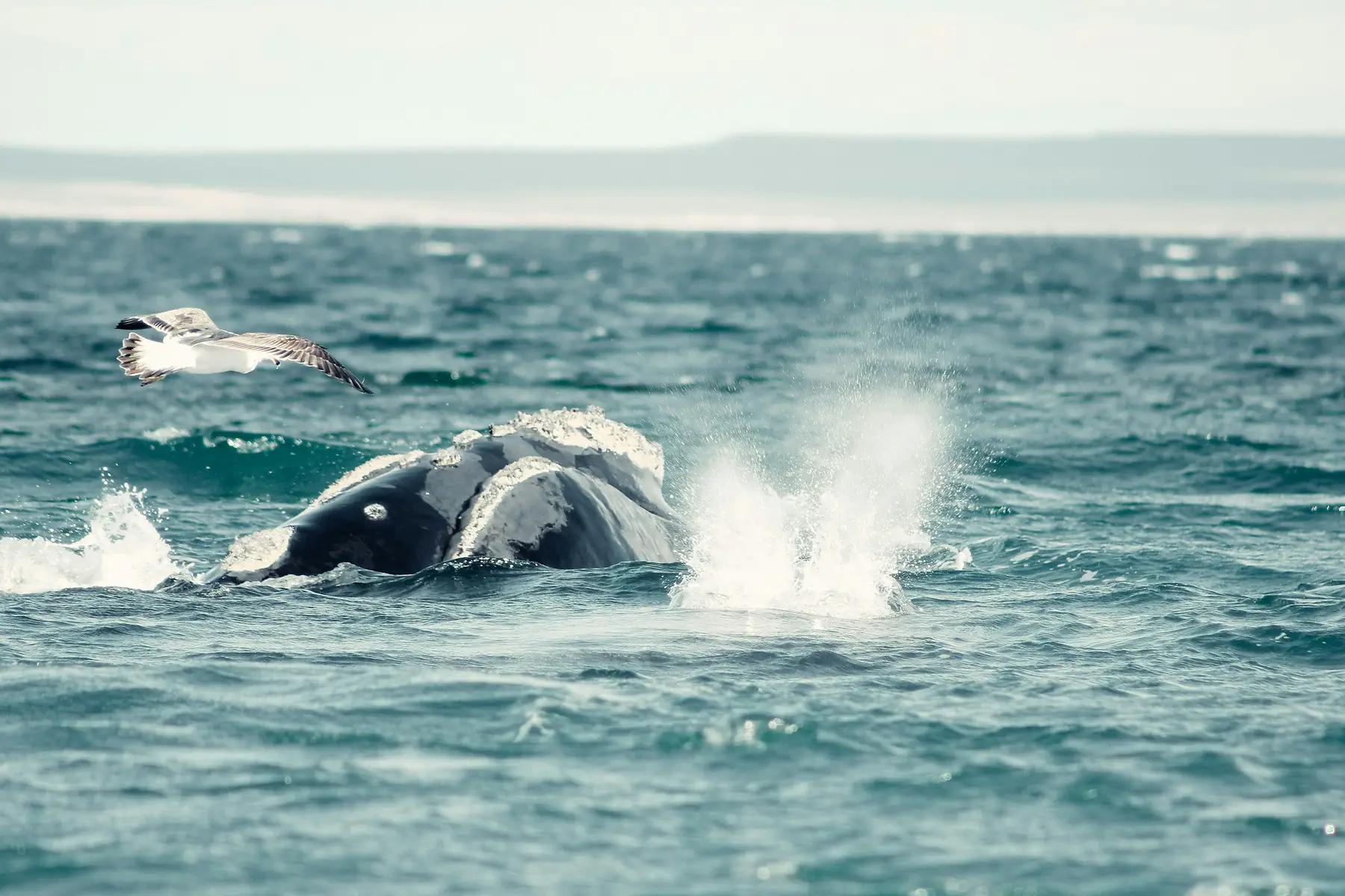
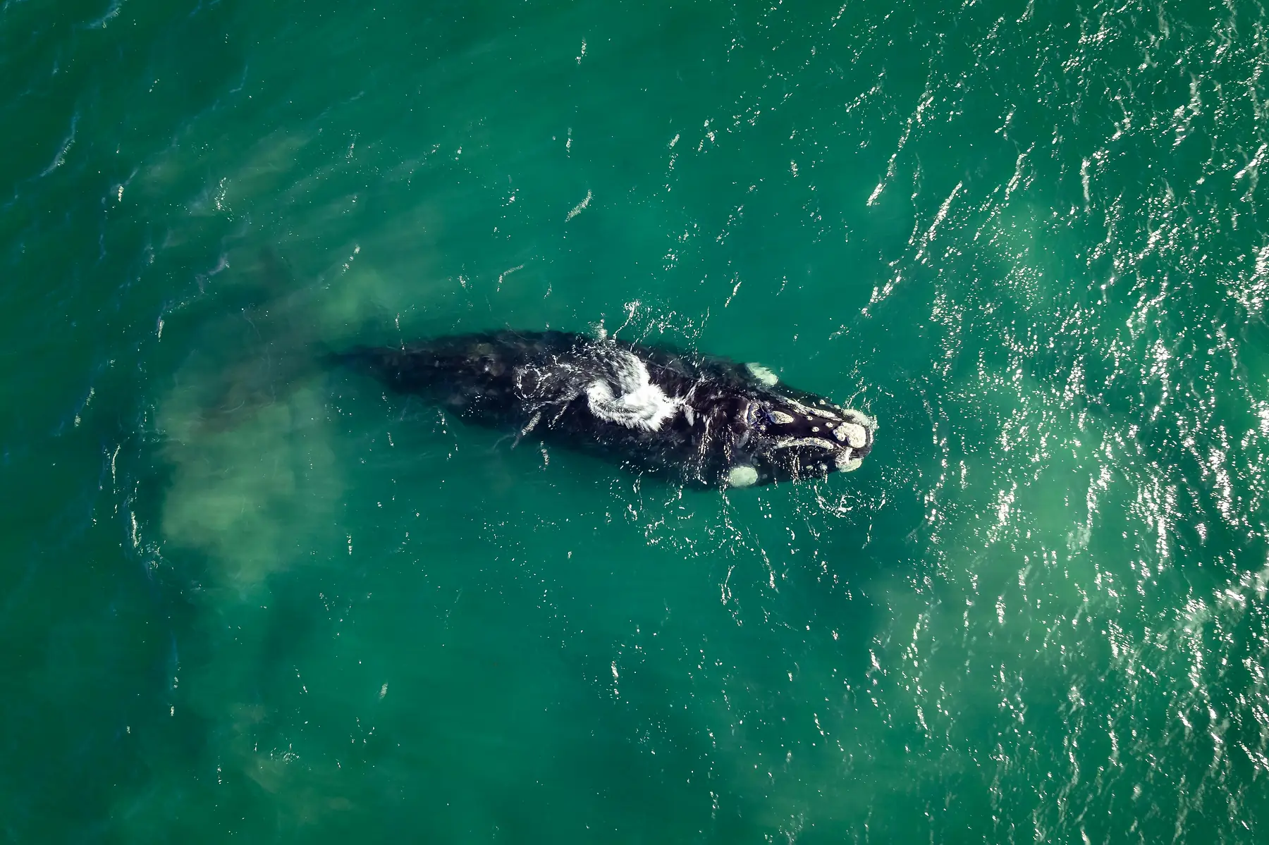
The trail follows the cliff edge overlooking Playa Las Canteras. This beach is unique because its steep underwater slope allows Southern Right Whales to swim within 20-30 meters of the shore. The hike itself is an easy, flat walk, but you will likely spend more time standing still than moving as you watch mothers and calves in the water below.
The best time for this hike is during the peak whale-watching season from September to October. Visit our guide to Southern Right Whales to learn more about their behavior during this window.
Top Hike 3: Punta Loma Flora & Sea Lion Trail
Located 17km southeast of town, the Punta Loma Reserve offers a short, interpreted trail that is the best introduction to the region’s flora and fauna. This is a protected area, and visitors are required to pay an entrance fee at the gate (approximately $12,000–$15,000 ARS for international visitors as of the 2026/27 season). The reserve is typically open daily from 8:00 AM until 8:00 PM or sunset.
The trail is well-marked and features signage explaining the adaptations of local plants like the Jarilla shrub. The path leads to a series of wooden viewpoints perched on the cliffs directly above a permanent colony of South American sea lions. While the animals are present year-round, low tide is the best time to visit if you want to see them resting on the beach rather than swimming.
Top Hike 4: Punta Este & The Indian Monument
For those who want a long hike without needing a vehicle, the walk to Punta Este is the best option starting directly from the city’s pier. This 6km (one-way) walk follows the curve of the bay, moving from the urban promenade into a more secluded coastal environment.
Along the way, you will pass the “Monumento al Indio Tehuelche,” a massive statue dedicated to the indigenous people of the region. Just beyond the monument is the Ecocentro, a striking architectural landmark and marine interpretation center that sits on the bluffs. The final stretch to Punta Este involves walking along the beach; ensure you check the tide tables, as high water can force you off the sand and onto the shoulder of the road.
Top Hike 5: Lobería Trail (Puerto Pirámides)
If you are taking a day trip to the Peninsula Valdés, the Lobería Trail starting from the village of Puerto Pirámides is a mandatory stop. This trail offers a starkly different landscape, characterized by “moon-like” white sedimentary rocks and deep blue water.
The hike is a 1-hour return walk from the village to a viewpoint overlooking a sea lion colony. The path is exposed and can be exceptionally hot in the middle of the day, but the views of the cliffs and the potential to see whales in the bay make it worthwhile. Note that you must pay the Peninsula Valdés park entrance fee to access this trail.
To plan your full itinerary in this protected area, check our guide to Peninsula Valdés.
Ready to Explore More?
Puerto Madryn’s trails are just one way to experience the Atlantic coast. Many of these coastal paths are shared with mountain bikers; see our guide to other activities in the area for rental locations and route ideas.
To continue planning your trip, explore our related guides:
FAQ
What is the best month for hiking in Puerto Madryn? September and October are ideal, as the weather is mild and you can combine hiking with the peak of the shore-based whale-watching season.
Are there any difficult mountain hikes in Puerto Madryn? No, Puerto Madryn is characterized by coastal steppe and cliffs. For high-altitude mountain trekking, you should head west to the Andes or south to the trails of El Chaltén.
Is the water safe to drink on Puerto Madryn trails? There are no freshwater sources on the trails around Puerto Madryn, so you must carry at least 2 liters of water per person for any day hike.
Can I hike to see penguins in Puerto Madryn? While you can see some penguins at Estancia El Pedral, the best hiking among penguins is found further south at the Punta Tombo reserve, which requires a separate day trip.
Do I need a permit to hike in the Puerto Madryn nature reserves? Most coastal walks near the city are free, but formal reserves like Punta Loma and Peninsula Valdés require an entrance fee paid at the access gates.
Are the Puerto Madryn hiking trails well-marked? Major trails like the Punta Loma Flora trail are well-marked, but coastal routes like Cerro Avanzado often rely on following the shoreline or existing 4x4 tracks.