
12 Best Day Hikes in Patagonia: 2026 Trail Guide
Hit the trails without a heavy pack. Explore the 12 best day hikes across the region, including hikes to Fitz Roy, the Base Towers & more.
15 Best Day Hikes in Patagonia: 2026 Trail Guide & Map
You do not need to carry a 60-pound pack or sleep in a tent to experience the most iconic landscapes in Patagonia. While the region is famous for multi-day treks like the W or the O Circuit, the vast majority of its most dramatic granite spires, calving glaciers, and turquoise lakes are accessible via single-day hikes starting from comfortable hub towns.
Patagonia’s day-hiking appeal lies in its accessibility. In places like El Chaltén, world-class trails begin at the edge of the sidewalk, while in Torres del Paine, a well-timed shuttle or catamaran can put you at the base of the world’s most famous towers by midday. Whether you are looking for a vertical challenge or a gentle stroll along a glacial lake, the “hub and spoke” model - staying in a town and heading out for daily adventures - is often the most efficient way to see the region’s highlights.
Patagonia Day Hiking at a Glance
- Best Hubs: El Chaltén (Argentina), Puerto Natales (Chile), Bariloche (Argentina).
- Peak Season: November to March (Longest days and best weather).
- Trail Costs: Fees apply in Los Glaciares (El Chaltén) and Torres del Paine; mandatory online booking for Chile.
- Difficulty Range: Extremely varied, from flat boardwalks to 1,000m+ vertical climbs.
- Transport: Rental cars offer the most flexibility, but extensive bus and shuttle networks support car-free travel.
The Patagonia Day Hiking Framework: How to Choose Your Base
Choosing where to go in Patagonia depends entirely on what you want to see and how much logistical friction you are willing to tolerate. The region is too vast to “see it all” in one trip without significant flight time, so most hikers choose one or two primary hubs.
El Chaltén is the undisputed hiking capital for the independent traveler. Because the trails start directly from the village, you don’t need a car or a bus ticket to reach the base of Fitz Roy or Cerro Torre. In contrast, Torres del Paine requires more planning. Most day hikers base themselves in Puerto Natales and commute two hours each way, or pay a premium to stay at hotels inside the park like Hotel Las Torres or Explora.
Seasonality also dictates the experience. While December and January offer the most daylight, they also bring the largest crowds and the arrival of Tabanos (large horseflies), which peak from mid-December through January.
If you are planning your first trip, we recommend starting with our detailed destinations guide to understand the layout of the Argentinian side, or exploring the Torres del Paine overview for the Chilean side.
El Chaltén: The “Hiking Capital” of Argentina
El Chaltén is unique in the trekking world. It is one of the few places on Earth where you can enjoy a craft beer and a wood-fired pizza in a cozy village, then walk five minutes to a trailhead that leads into a UNESCO World Heritage site.
The trails here are exceptionally well-maintained. As of the 2025/26 season, entrance fees are now required for the Northern Sector of Los Glaciares National Park (approx. 45,000 ARS for a 1-day foreigner pass). The terrain is characterized by ancient Lenga forests that eventually give way to stark, high-altitude moraines.
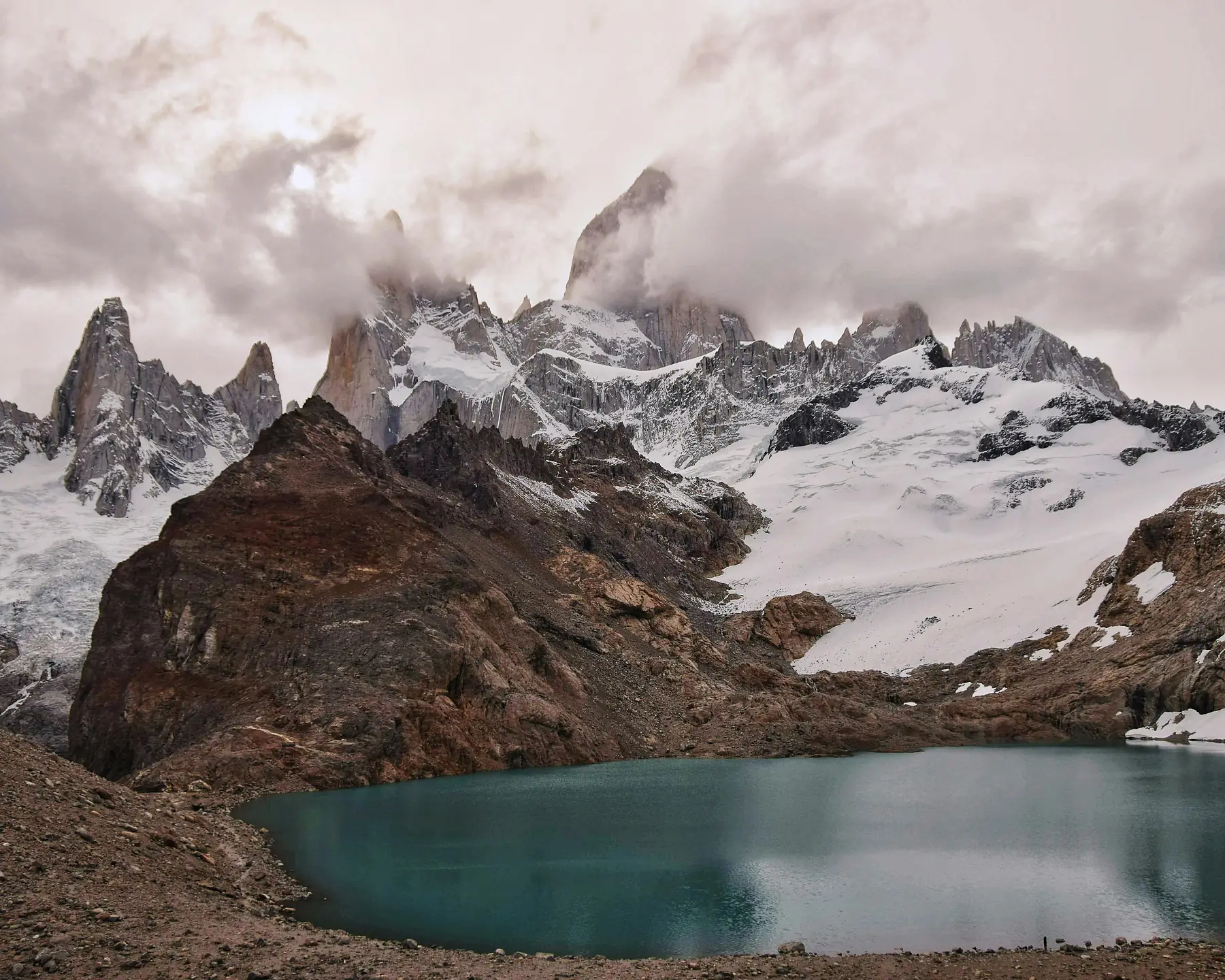
Laguna de los Tres (Fitz Roy Viewpoint)
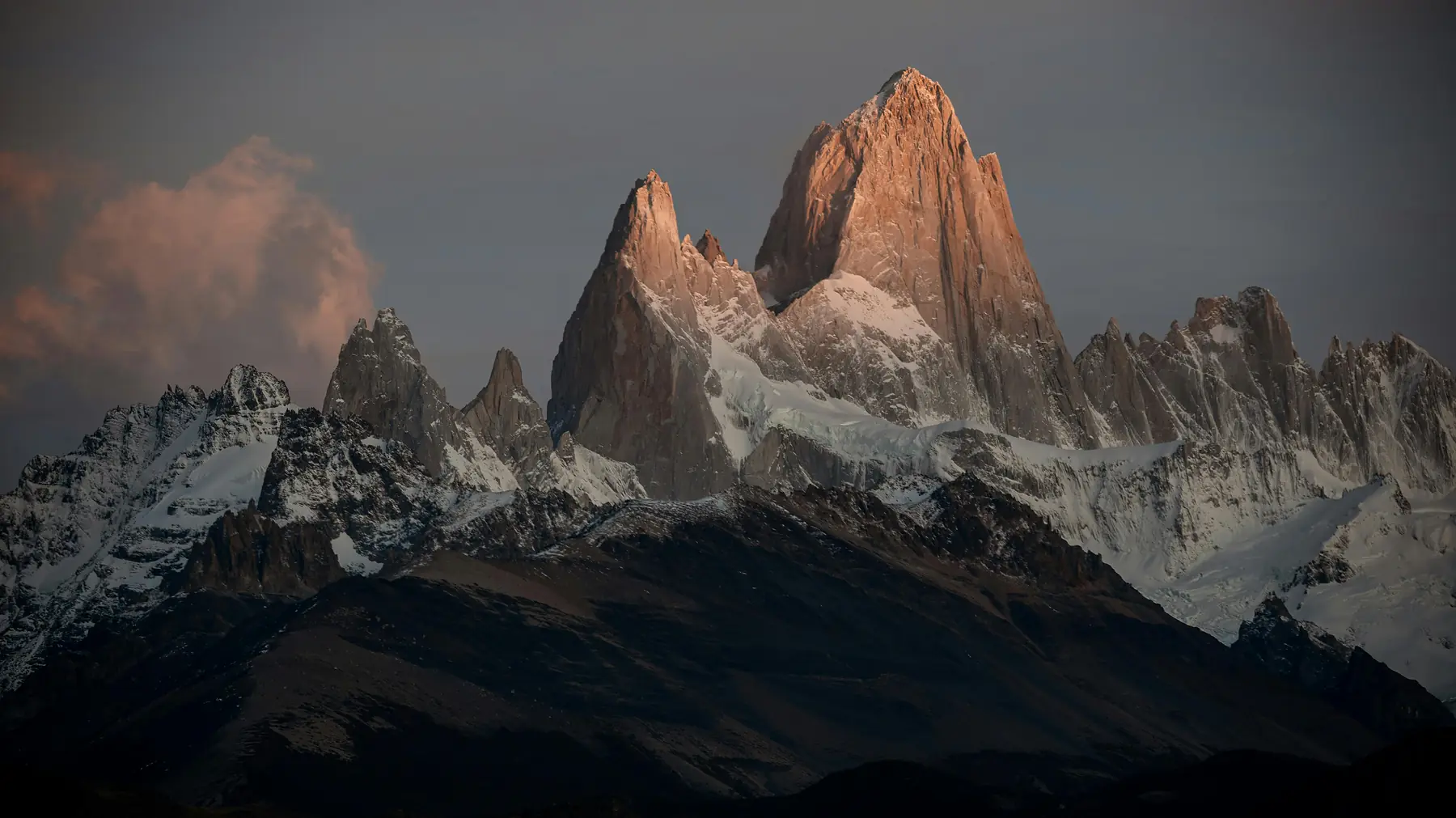
This is the “crown jewel” of Argentinian Patagonia. The trail takes you to the base of the granite teeth of Mount Fitz Roy.
- Distance: 21km (13 miles) round trip
- Difficulty: Hard (due to the final 1km ascent)
- Time: 8 - 10 hours
- Start Point: North end of Avenida San Martín
Laguna Torre
A flatter, high-reward alternative that leads to a glacial lake filled with icebergs, with the needle-thin spire of Cerro Torre as the backdrop.
- Distance: 18km (11 miles) round trip
- Difficulty: Moderate
- Time: 6 - 7 hours
- Start Point: West end of Calle Los Huemules
Loma del Pliegue Tumbado
Often overlooked by those focused on the spires, this hike offers the best panoramic view of the entire massif and Lago Viedma.
- Distance: 18km (11 miles) round trip
- Difficulty: Moderate - Hard
- Time: 7 - 8 hours
- Start Point: National Park Visitors Centre (CEAP)
To see the full range of trails including shorter walks to waterfalls and eagle lookouts, see our guide to all hikes in El Chaltén. For the deep dive on the most famous route, read the Laguna de los Tres / Fitz Roy guide.
Torres del Paine: Iconic Spires and Turquoise Lakes
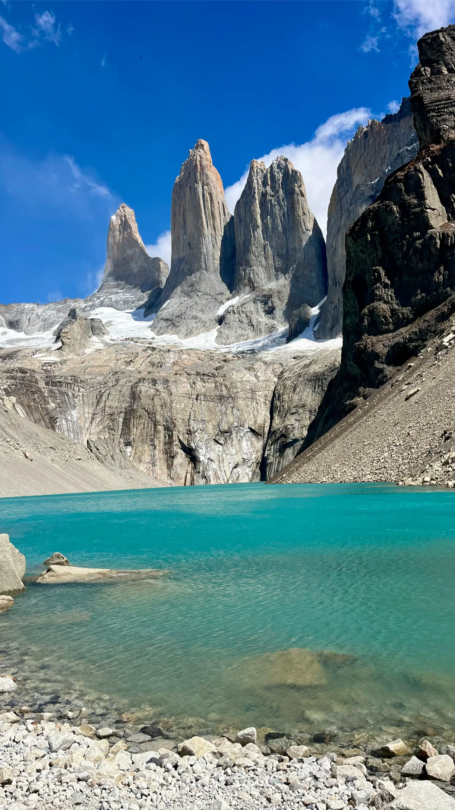
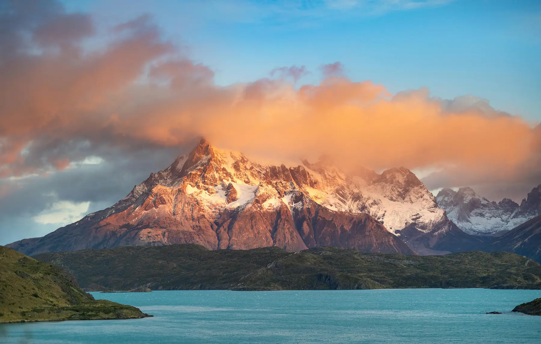
Torres del Paine National Park is home to the most famous skyline in South America. While many people come for the five-day W Trek, you can see the park’s most dramatic highlights through a series of tactical day hikes.
Logistically, this park is more complex than El Chaltén. You must purchase your park permit online in advance via the official pasesparques.cl platform. For the 2025/26 season, international adult fees are approximately $35 USD for a 3-day pass. If you are not staying inside the park, you will likely take a morning bus from Puerto Natales to the Laguna Amarga entrance.
Mirador Las Torres (Base of the Towers)
The most iconic hike in Chile. It follows the same path as the first leg of the W Trek, climbing through the Ascencio Valley to the famous granite towers and green lagoon.
- Distance: 18km (11 miles) round trip
- Difficulty: Hard
- Time: 8 - 9 hours
- Start Point: Welcome Centre (near Hotel Las Torres)
Mirador Cuernos & Salto Grande
The best “bang for your buck” hike. It is mostly flat and leads to a viewpoint of the “Horns” (Los Cuernos) across the turquoise waters of Lake Nordenskjöld.
- Distance: 6km (3.7 miles) round trip
- Difficulty: Easy
- Time: 2 hours
- Start Point: Pudeto parking area
Grey Glacier (via Catamaran)
To see the massive Grey Glacier as a day hike, you take the catamaran from Pudeto to Paine Grande, then hike north toward the glacier lookouts before catching the evening boat back.
- Distance: 11km to 15km (varies by viewpoint)
- Difficulty: Moderate
- Time: 7 - 8 hours (including boat times)
- Start Point: Paine Grande Refugio (via boat from Pudeto)
To plan your logistics from Puerto Natales, check our guided day hike options. For more trail options beyond the icons, see our guide to more day hikes in Torres del Paine.
El Calafate: Walking the Frozen Giants
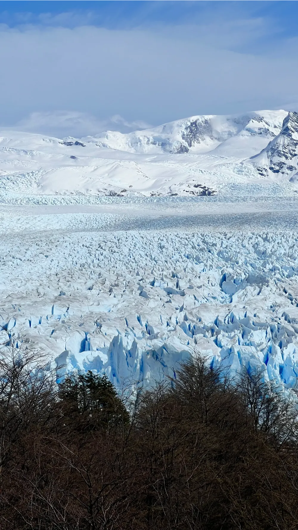
While El Chaltén is for granite, El Calafate is for ice. The town serves as the gateway to the southern section of Los Glaciares National Park, dominated by the Perito Moreno Glacier.
Perito Moreno Boardwalks
This is not a traditional backcountry hike, but the network of steel boardwalks (the “balconies”) offers several miles of trails with varying perspectives of the 60-meter-high ice wall.
- Distance: 3km to 6km (depending on chosen routes)
- Difficulty: Easy
- Time: 2 - 4 hours
- Start Point: Perito Moreno Lower Parking
Minitrekking on the Ice
For a more immersive experience, you can take a guided excursion that involves a short boat ride and a 90-minute hike directly on the glacier using crampons.
- Distance: ~3km on ice
- Difficulty: Moderate
- Time: 1.5 hours on ice (full day trip from town)
- Start Point: Bajo de las Sombras port. As of the 2025/26 season, the “Minitrekking” excursion with Hielo y Aventura costs approximately 384,000 ARS (approx. $380 USD) including transfers.
Choosing your boardwalk route
The boardwalk system is color-coded. The Lower Circuit (Red) offers the closest views of the ice face, while the Central Circuit (Yellow) provides the classic panoramic “postcard” view. The Forest Trail (Green) is the quietest and leads through the local woodland to the upper parking area.
For more information on planning your visit to the glacier, see the El Calafate destination guide.
Ushuaia & Tierra del Fuego: Hiking at the End of the World

At the southern tip of the continent, the landscape shifts. The granite spires are replaced by moody, rounded peaks, peat bogs, and coastal forests. The hiking here feels more wild and remote, often accompanied by the dramatic weather of the Beagle Channel.
Laguna Esmeralda
The most popular hike in Ushuaia. It leads through “turba” (peat bogs) to a stunning glacial lake with a distinct emerald hue.
- Distance: 9km (5.6 miles) round trip
- Difficulty: Moderate (mostly due to mud)
- Time: 4 hours
- Start Point: Route 3, 12km east of Ushuaia. Shared shuttles from the Ushuaia waterfront typically cost around 30,000 ARS (approx. $30 USD) round-trip for the 2025/26 season.
Senda Costera (Coastal Trail)
Located inside Tierra del Fuego National Park, this trail follows the shoreline of the Beagle Channel, offering chances to see dolphins, sea lions, and diverse birdlife.
- Distance: 8km (5 miles) one way
- Difficulty: Moderate
- Time: 3 - 4 hours
- Start Point: Ensenada Zaratiegui
Explore the full range of activities at the southern tip in our Ushuaia destination guide.
Northern Patagonia: Volcanoes and Ancient Forests
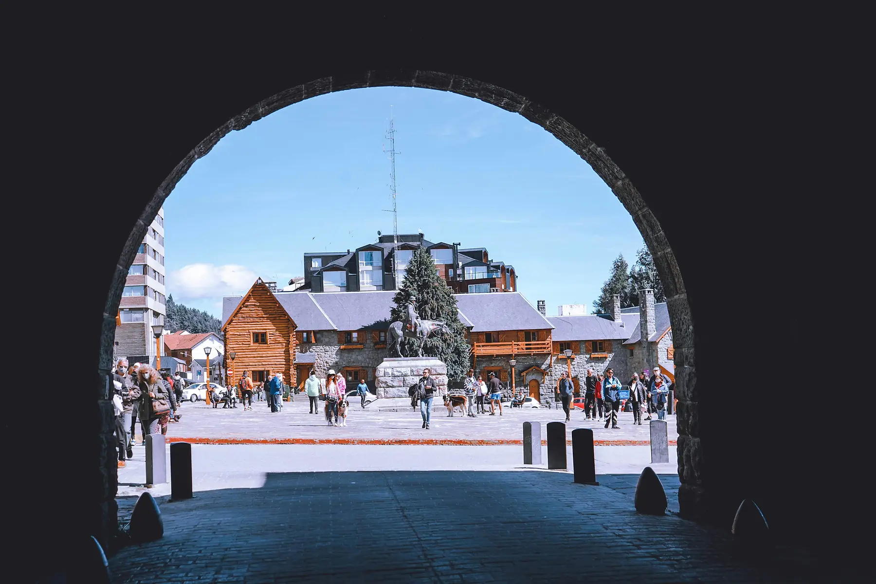
The Lake District (spanning Bariloche in Argentina and Pucón in Chile) offers a completely different aesthetic. Here, the hiking involves climbing active volcanoes, walking through ancient Araucaria (Monkey Puzzle) forests, and visiting high-altitude mountain huts (refugios).
- Landscape: Granite spires & massive glaciers vs. Snow-capped volcanoes & deep blue lakes.
- Flora: Low-lying Lenga scrub vs. Ancient Araucaria and Valdivian rainforest.
- Vibe: Remote, expeditionary vs. Alpine, social, and varied.
- Difficulty: Often high wind and steep moraines vs. Forested switchbacks and volcanic ash.
Choose the South for world-famous icons and 'big mountain' drama; choose the North for lush forests, volcanic landscapes, and a more developed 'mountain hut' culture.
Refugio Frey (Bariloche)
A classic hike that leads to a stone hut perched beside a lagoon, surrounded by orange granite needles that are a mecca for rock climbers.
- Distance: 12km (7.5 miles) one way (can return via the same path or a different route)
- Difficulty: Moderate
- Time: 6 - 8 hours
- Start Point: Cerro Catedral parking lot
Villarrica Volcano (Pucón)
This is a guided technical hike to the crater of one of Chile’s most active volcanoes. For the 2025/26 season, a certified mountain guide is mandatory for all summit attempts.
- Distance: ~8km round trip
- Difficulty: Very Hard (physical endurance and altitude)
- Time: 6 - 9 hours
- Start Point: Ski Pucón base
For more on the northern regions, visit our Bariloche destination guide.
Essential Day Hiking Logistics & Safety
Patagonia is famous for having “four seasons in one day.” You can start a hike in a t-shirt and be in a snowstorm three hours later.
The Gear Rule
Never head out on a day hike - even a short one - without a high-quality hardshell rain jacket and a warm mid-layer (fleece or down). The wind is the primary danger; it can drop the effective temperature by 10 degrees Celsius in minutes.
Safety and Navigation
Cell service is non-existent once you leave the hub towns. Download offline maps (like AllTrails or Maps.me) before you head out. In the major parks, trails are well-marked, but in high-wind conditions, visibility can drop significantly.
Check the Wind Forecast
Wind speeds above 70 km/h are common. If the forecast predicts sustained winds of this speed, avoid exposed ridge hikes like Mirador Condor or the final climb to Fitz Roy. In Torres del Paine, emergency assistance can be reached via radio frequency 143,800 Mhz or by contacting any park ranger station.
Hydration Strategy
In El Chaltén and Torres del Paine, the water in fast-flowing streams is generally safe to drink without filtration. This allows you to carry less weight - just a single 1-liter bottle that you refill as you go.
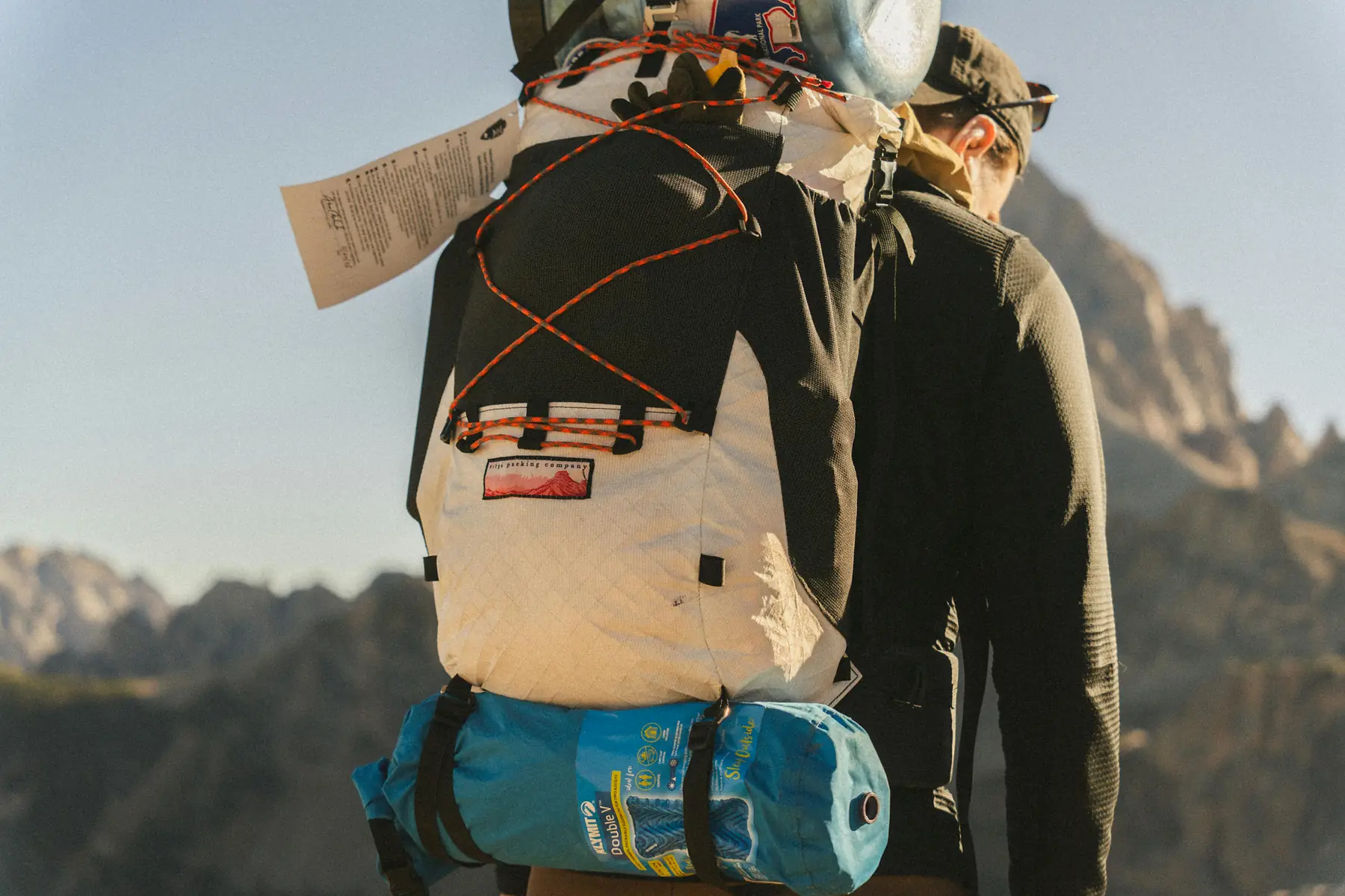
If you are unsure what to pack, see our comprehensive day-hiking checklist.
Related guides
To go deeper into planning your trekking adventure, explore our other resources:
QUESTION: What are the best day hikes in Torres del Paine for beginners?
ANSWER: The Mirador Condor and Mirador Cuernos trails are the best options for beginners in Torres del Paine, offering iconic views of the granite massifs with minimal elevation gain and under 2 hours of walking.
QUESTION: Do I need a guide for day hikes in El Chaltén?
ANSWER: No, you do not need a guide for the primary day hikes in El Chaltén, as trails like Laguna de los Tres and Laguna Torre are exceptionally well-marked and start directly from the town.
QUESTION: Is it possible to see the Perito Moreno Glacier on a day hike?
ANSWER: Yes, the Perito Moreno Glacier is easily explored via a network of steel boardwalks that offer several miles of hiking trails with varying perspectives of the ice face.
QUESTION: What is the hardest day hike in Patagonia?
ANSWER: The hike to Base Las Torres in Torres del Paine and the climb to Laguna de los Tres in El Chaltén are considered the most challenging “classic” day hikes due to their length and steep, rocky final ascents.
QUESTION: Can I do day hikes in Patagonia without a rental car?
ANSWER: Yes, many of the best day hikes in Patagonia are accessible via public buses or shuttles from hub towns like El Chaltén, Puerto Natales, and Ushuaia.
QUESTION: What should I pack for a day hike in Torres del Paine?
ANSWER: You must pack high-quality waterproof layers, a windbreaker, sturdy hiking boots, and trekking poles, as weather in Torres del Paine can change from sun to snow within minutes.