
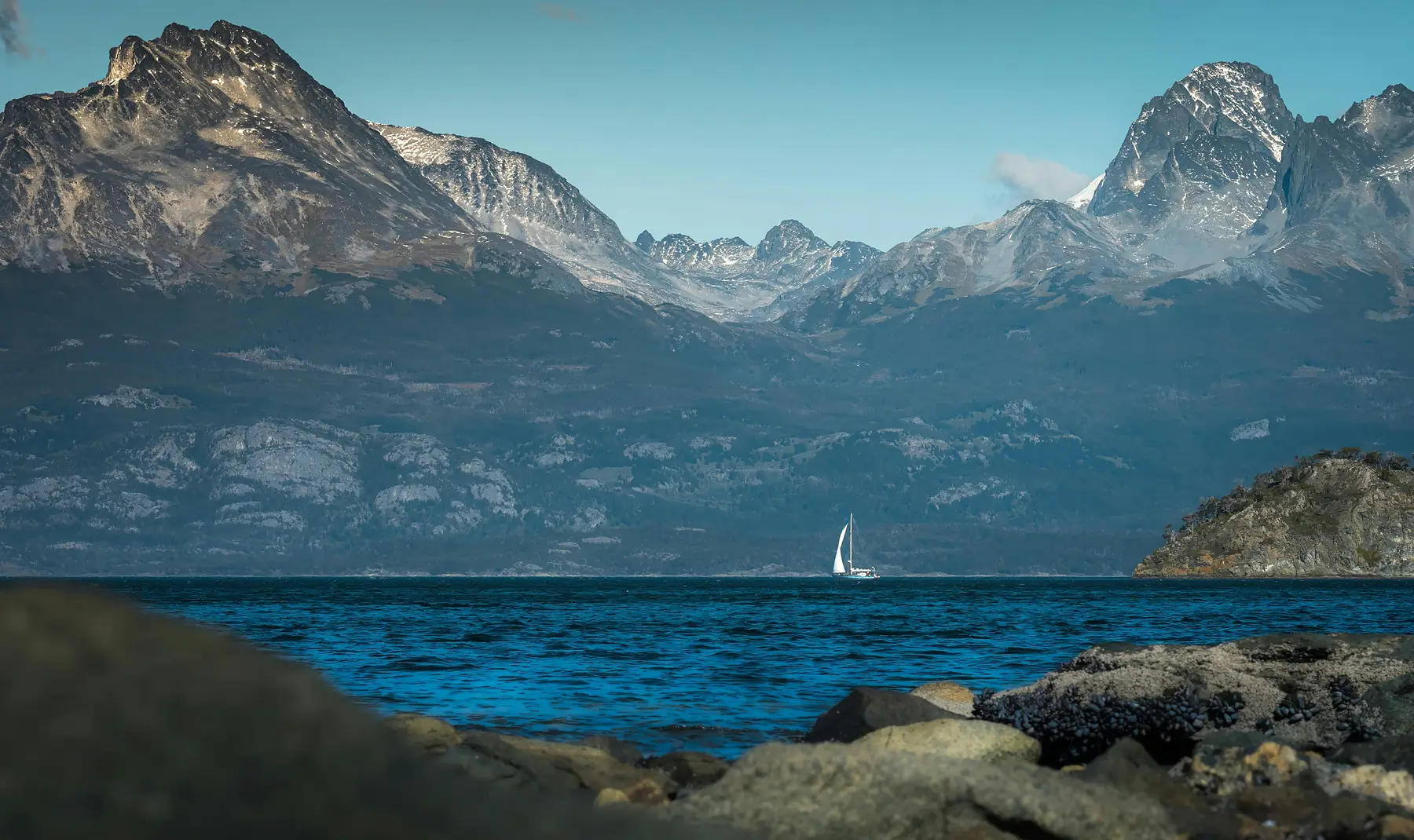
12 Best Hikes in Ushuaia: 2026 Trail Guide & Logistics
Ushuaia is the premier trekking hub of Tierra del Fuego, offering a rare intersection of sub-Antarctic forest, peat bogs, and hanging glaciers that drop toward the sea. While many visitors treat the city as a simple gateway to Antarctica, the most rewarding way to experience the “End of the World” is on foot, where the trails transition from coastal shipwrecks to granite spires in a single afternoon.
This guide categorizes the best trails in the region by difficulty and landscape, providing the specific logistics you need to navigate the unique terrain of the Fuegian Andes.
Ushuaia Hiking at a Glance
- Peak Season: November to March (Longest days and clearest trails)
- Primary Terrain: Peat bogs (turbal), sub-Antarctic forest, and loose scree
- Top Rated Hike: Laguna Esmeralda (Moderate)
- Toughest Challenge: Cerro Guanaco (Strenuous)
- Transport Hub: Maipú and Juana Fadul (City center shuttle terminal)
- Connectivity: Zero cell service on 90% of trails; offline maps are essential
Essential Logistics for Hiking at the End of the World
The most important factor for hiking in Ushuaia is preparing for the unpredictable weather and the specific soil conditions of the archipelago. You are hiking at 54 degrees south, where the unpredictable weather can shift from calm sunshine to sleet in under twenty minutes. A high-quality hardshell jacket is a non-negotiable piece of safety equipment, even on short trails near the city.
Navigating the Turbal (Peat Bogs)
Tierra del Fuego is famous for its turbal—deep peat bogs formed by decomposed organic matter. These bogs act like giant, water-soaked sponges. On trails like Laguna Esmeralda, the mud can be knee-deep if you step off the main path.
When crossing a peat bog, look for “islands” of solid grass or exposed tree roots. If you are unsure of the depth, poke the ground with a trekking pole first. Never attempt to run through a bog, as the suction can easily pull a boot clean off your foot.
Transport and Trailhead Access
Most trailheads are located 10–20 kilometers outside the city center. You have three primary options for reaching them:
- Hiking Shuttles: Small white vans (combis) depart from the corner of Maipú and Juana Fadul. For the 2026/27 season, they run on a fixed schedule to Laguna Esmeralda and Tierra del Fuego National Park, typically departing hourly starting at 9:00 AM.
- Taxis and Remises: For trailheads like Glaciar Martial or the Andorra Valley, a taxi is the most efficient choice. As of early 2026, expect to pay between $10–20 USD depending on the distance and current exchange rates.
- Rental Car: This is the best option for reaching remote spots like Laguna Turquesa or Estancia Túnel without being tied to a shuttle schedule. Note that parking at smaller trailheads like Laguna Turquesa consists of limited roadside pull-offs.
Connectivity and Navigation
Do not rely on cellular data. Once you leave the Ushuaia city limits, signal drops almost immediately. Download offline maps via AllTrails or Maps.me before leaving your accommodation. While many trails are marked with yellow or red paint on trees, these marks can be sparse in the high alpine zones where cairns (piles of stones) take over.
The Icons: Ushuaia’s Most Popular Day Hikes
These trails represent the quintessential Fuegian landscape and are the most frequented by visitors for their high reward-to-effort ratio.
Laguna Esmeralda
Laguna Esmeralda is the most popular hike in Ushuaia because it delivers a stunning glacial lagoon surrounded by peaks with relatively little elevation gain. The trail leads through a mix of lenga forests and expansive peat bogs. As of the 2026/27 season, significant boardwalk improvements have been completed across the most vulnerable peat bog sections, though hikers should still expect deep mud in the forested portions of the trail.
The hike takes approximately 3.5 to 4.5 hours round trip. The “Emerald” color is most vibrant on sunny days when the glacial silt reflects the light. If you have the energy, you can continue past the lagoon to the base of the Ojo del Albino glacier, though this adds significant difficulty and requires technical experience.
Glaciar Martial
If you only have half a day, Glaciar Martial is the most accessible mountain experience in Ushuaia. You can walk to the trailhead from the city center, but it involves a steep 7km road walk that most hikers skip by taking a 10-minute taxi to the “La Cabaña” tea house.
From the base, you follow a wide trail (formerly a ski run) up to the mountain’s amphitheater. The view looking back over the Beagle Channel and the city is unmatched. The final push to the glacier’s edge involves steep, loose rock. While the glacier itself has receded significantly, the alpine scenery remains spectacular.
Laguna Turquesa
Located across the valley from Laguna Esmeralda, Laguna Turquesa is shorter but much steeper. The trail climbs quickly through the forest, breaking above the treeline to reveal a small, brilliant turquoise lake tucked into a rocky bowl.
The primary draw here is the aerial view. From the ridge above Laguna Turquesa, you can look down onto Laguna Esmeralda and see the entire Carbajal Valley stretching toward the horizon. It is a more rugged, less-crowded alternative to its famous neighbor. Parking is available in a small gravel area on the opposite side of National Route 3 from the trailhead.

Tierra del Fuego National Park: Coastal and Peak Trails
The National Park is located 12 kilometers west of Ushuaia and contains a distinct ecosystem where the forest meets the sea. For a full breakdown of park logistics, entry requirements, and facilities, refer to our Tierra del Fuego National Park guide.
Senda Costera (Coastal Trail)
The Senda Costera is an 8km undulating path that hugs the shoreline of Ensenada Zaratiegui and Lapataia Bay. It is the best hike for wildlife spotting, as you are likely to see upland geese, austral parakeets, and occasionally sea lions. The trail is not technically difficult, but the constant short climbs and descents over tree roots make it a solid 3–4 hour commitment.
Cerro Guanaco
Cerro Guanaco is the park’s ultimate challenge. This is a strenuous 970-meter vertical ascent that begins near the Alakush Visitor Center. You must register at the visitor center before starting (typically before 12:00 PM), as the park rangers monitor who is on the mountain for safety.
The first half is a steep climb through dense mud and forest. Once you break the treeline, you face a long scramble over exposed scree. The reward is a 360-degree view that encompasses the Darwin Range in Chile, the Beagle Channel, and the entire National Park. Do not attempt this in high winds.
Senda Hito XXIV
This trail follows the northern shore of Lago Roca (also known as Lago Acigami) to the international border with Chile. It is a flat, peaceful walk through ancient forest canopies. The “Hito” is a metal pyramid marking the border line. It is a great option for birdwatchers and those looking for a long, meditative walk without significant climbing.
Lapataia Bay Loops
At the very end of National Route 3, a series of short, interconnected boardwalks allow you to explore the archipelago’s edges.
- Paseo de la Isla: Crosses a small bridge to explore the Cormorants Archipelago.
- Laguna Negra: A short walk to a dark, peat-stained lagoon.
- Castorera: A boardwalk showing the impact of invasive beavers on the local forest.
The Challengers: Glaciers and High Peaks
For experienced trekkers who want to escape the crowds and engage with more technical terrain, these trails offer a raw look at the Fuegian Andes.
Glaciar Vinciguerra & Laguna de los Témpanos
This hike begins in the Andorra Valley, a few kilometers northeast of the city. The trail is a long, muddy approach through the valley before a punishingly steep climb to Laguna de los Témpanos. The lagoon sits at the base of the Vinciguerra Glacier, often filled with floating ice blocks.
While the trail to the lagoon is open access for independent hikers, you should never walk onto the glacier or enter the ice caves without a professional guide and crampons. The ice structures are highly unstable and change weekly.
Ojo del Albino
This is an extension of the Laguna Esmeralda hike and is considered one of the most technical day treks in the region. After reaching the lagoon, you must navigate a steep, unmarked scramble up a massive rock ramp to reach the glacier. It requires high physical fitness and comfort with mountain exposure. The view of the emerald water from the ice’s edge is arguably the best in Tierra del Fuego.
Cerro del Medio
Cerro del Medio is the local’s favorite. Starting from the upper neighborhoods of Ushuaia, it offers a similar view to Glaciar Martial but with a fraction of the tourists. The trail is steep and can be difficult to find in the lower forest sections, but the summit provides a clear view of the “Five Brothers” peaks and the mountain range extending toward Estancia Haberton.

Hidden Gems and Easy Walks
If you are looking for a recovery day or a family-friendly outing, these trails provide beauty without the vertical strain.
Estancia Túnel
This is a flat, coastal walk that begins at the end of the road past Playa Larga. The trail follows the Beagle Channel to a historic estancia (ranch) building. It is a fantastic spot for a picnic, and the trail is often lined with wild berries in the late summer. The lack of elevation makes it perfect for runners or families with small children.
Reserva Natural Cerro Alarkén
Managed by the Arakur Resort, this private reserve is open to the general public and offers some of the best-maintained trails in the region. Access to the reserve is currently complimentary for independent visitors. The paths are clearly marked and much less muddy than the public trails. The “Summit” walk is a gentle 30-minute climb that offers a panoramic view of the city and the surrounding valleys.
Río Pipo Trails
Located near the “End of the World Train” station, the trails along the Río Pipo are wide and relatively flat. They are ideal for those who want to experience the sub-Antarctic forest without committing to a full-day hike in the National Park.
What to Pack for Trekking in Tierra del Fuego
The unique combination of deep mud, sharp rock, and rapid temperature drops requires a specific gear strategy. You aren’t just packing for a hike; you are packing for a maritime mountain environment.
To see our full recommendations for the region, check out the Patagonia packing list.
- Footwear: Mid-to-high waterproof boots are essential. Trail runners will often get swallowed by the peat bogs or soaked through in the first hour. See our guide to the best hiking boots for Patagonia.
- Trekking Poles: These are not just for balance; they are “mud probes” used to test the depth of the turbal before you commit your weight.
- Hardshell Jacket: A windproof and waterproof outer layer is your most important piece of safety gear.
- Water Filtration: While creek water in the high mountains is generally safe, the presence of invasive beavers means you should use a filter or tablets in lower valley areas to avoid Giardia.
- Offline Maps: Ensure your phone is fully charged and you have downloaded the region for offline use.
To explore more of what this region has to offer beyond the trails, see our guide to other things to do in Ushuaia.
FAQ
- QUESTION: Is it safe to hike alone in Ushuaia?
- ANSWER: Yes, most primary trails like Laguna Esmeralda and Glaciar Martial are well-trafficked and safe for solo hikers, provided you have offline maps and notify someone of your plans.
- QUESTION: Do I need a guide for the Vinciguerra Glacier hike in Ushuaia?
- ANSWER: While the trail to Laguna de los Témpanos can be done independently, a professional guide is highly recommended for reaching the Vinciguerra Glacier itself and is mandatory for exploring the ice caves safely.
- QUESTION: How much does it cost to enter Tierra del Fuego National Park for hiking?
- ANSWER: Entrance fees for the 2026/27 season are set by the National Parks Administration; as of early 2026, international visitor pricing is approximately $20–30 USD. Check the official park guide for current rates.
- QUESTION: What is the hardest hike in Ushuaia?
- ANSWER: Cerro Guanaco is widely considered the most difficult day hike in Ushuaia due to its 970-meter vertical ascent and technical, often muddy, terrain.
- QUESTION: Are there easy hikes in Ushuaia for families?
- ANSWER: Yes, the Senda Costera in the National Park and the trails within the Alarkén Nature Reserve offer relatively flat terrain and excellent views suitable for families.
- QUESTION: Can you hike to Glaciar Martial from the Ushuaia city center?
- ANSWER: You can walk from the center, but it involves a steep 7km road walk; most hikers prefer taking a 10-minute taxi to the trailhead to save their energy for the mountain trail.