
Carretera Austral
Chile's iconic 1,240km road trip — temperate rainforests, hanging glaciers, and the wild heart of the Aysén region.
Carretera Austral Guide: Route 7 (2026)
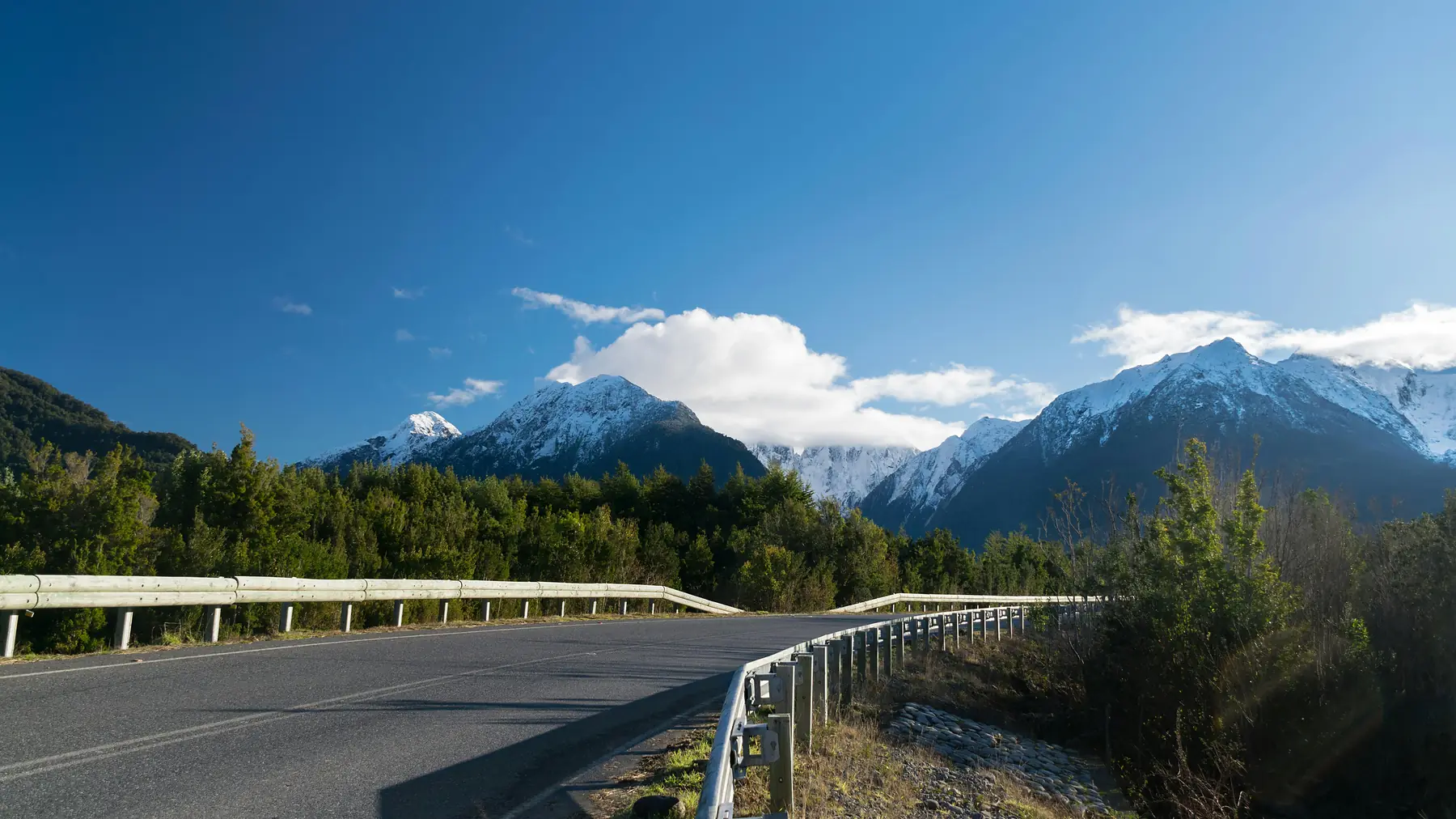
The Carretera Austral is a 1,240-kilometer stretch of road in Chilean Patagonia that connects Puerto Montt to Villa O'Higgins through some of the most remote and dramatic landscapes on Earth. Known officially as Route 7, it is the primary artery for exploring the Aysén region, moving through temperate rainforests, past hanging glaciers, and along the shores of turquoise glacial lakes.
For most travelers, this is the ultimate Patagonian road trip. It requires careful planning because the road is not a continuous strip of asphalt: it is a logistical puzzle of ferry crossings, gravel tracks, and remote outposts where fuel and supplies are far from guaranteed.
Carretera Austral At A Glance
- Total Distance 1,240 km (770 miles) — Puerto Montt to Villa O'Higgins
- Road Surface ~55% paved, 45% gravel (ripio) as of 2026/27
- Primary Hubs Puerto Montt (North), Coyhaique (Central), Cochrane (South)
- Recommended Time 10 to 14 days for a full one-way trip
- Best Vehicle High-clearance SUV (4x4 or AWD strongly recommended)
- Peak Season December to March
Things to Do
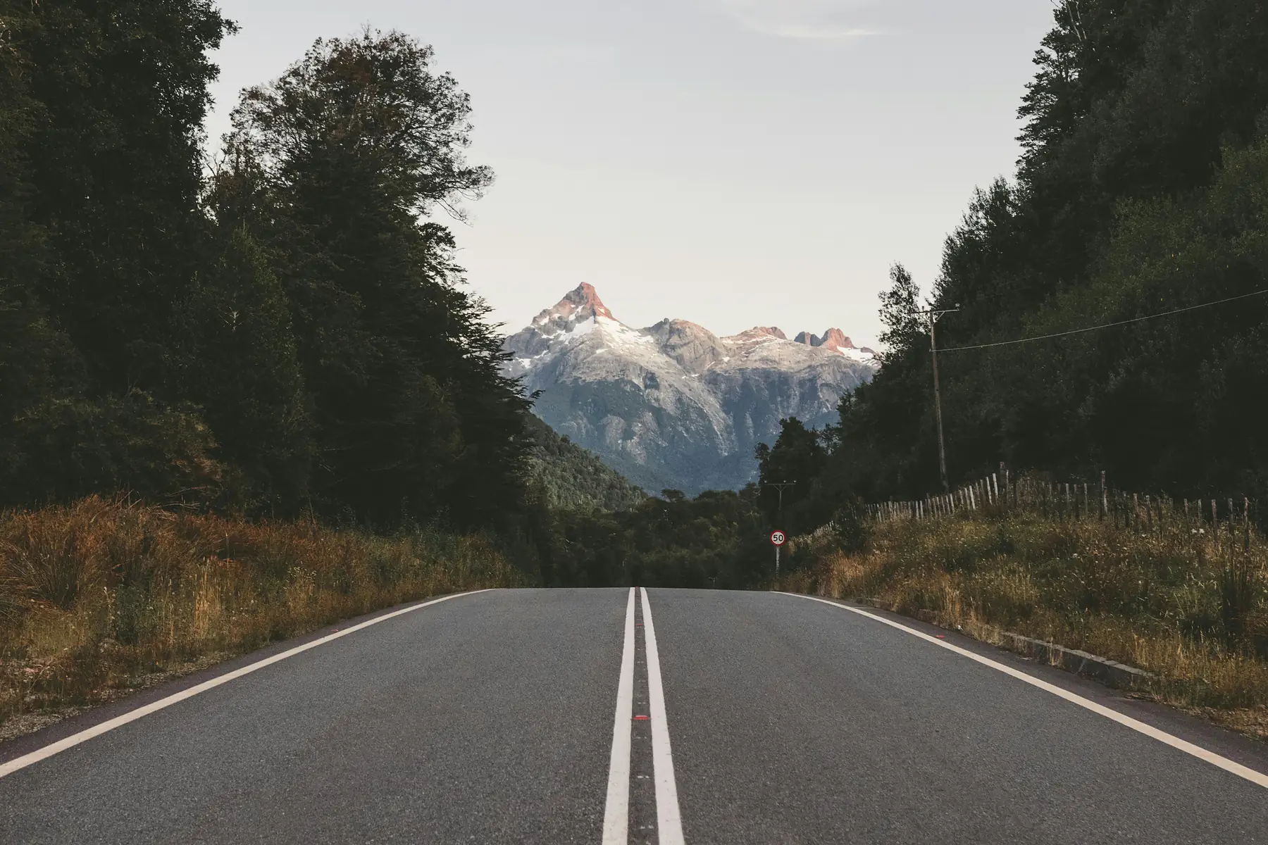
From glacier trekking to world-class fly fishing along Route 7.
Read Guide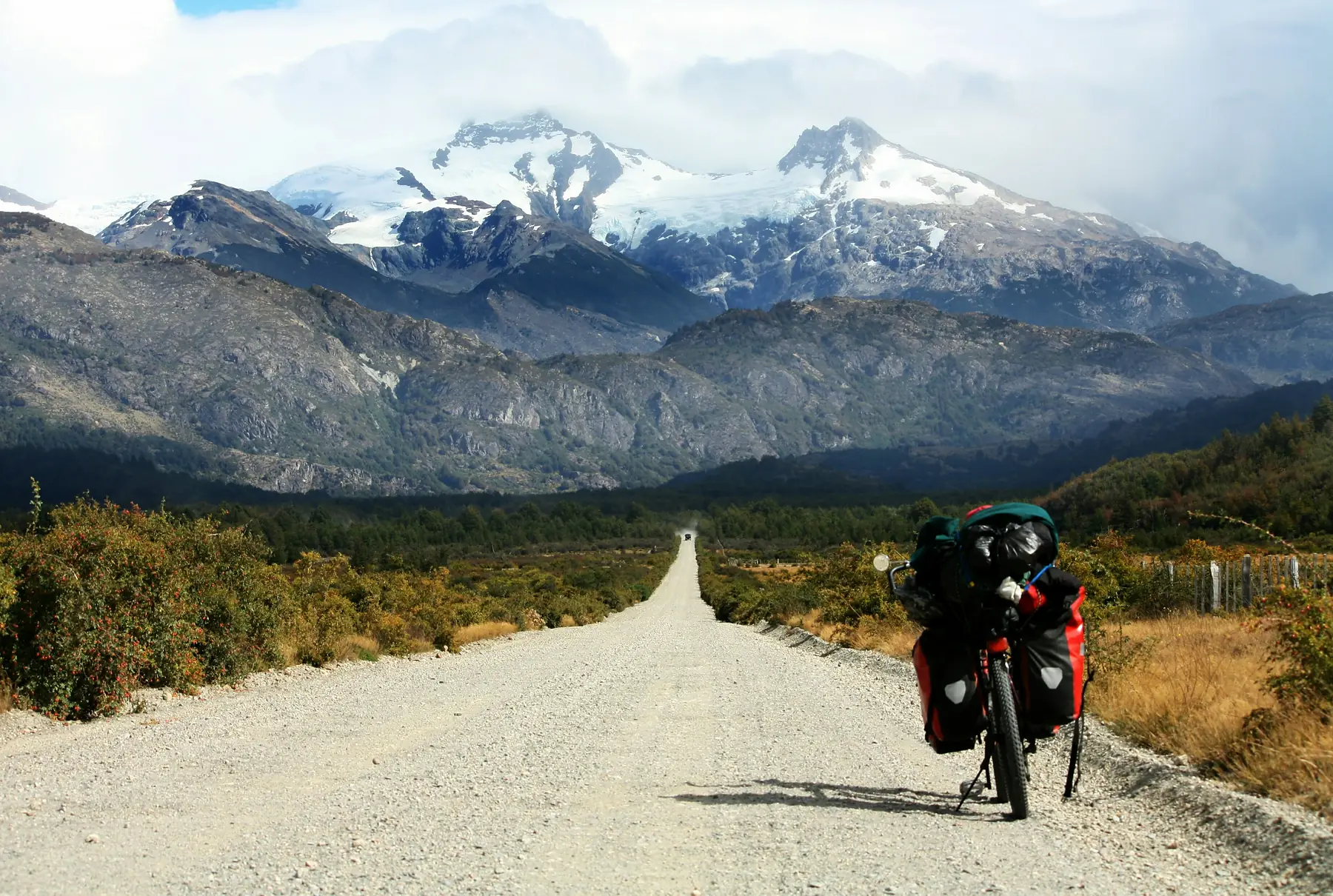
Where to Stay
Eco-lodges, hostals, and campsites along the road.
Read Guide
Ferry & Access
Step-by-step logistics for the critical ferry crossings and entry points.
Read Guide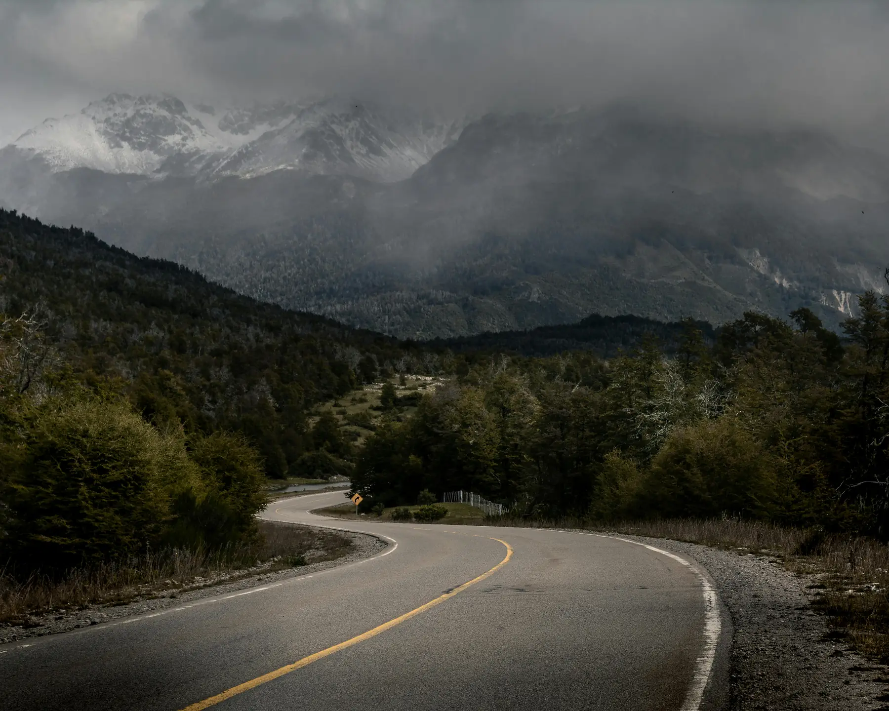
Weather Guide
Monthly temperatures and rainfall to choose the right window.
Read Guide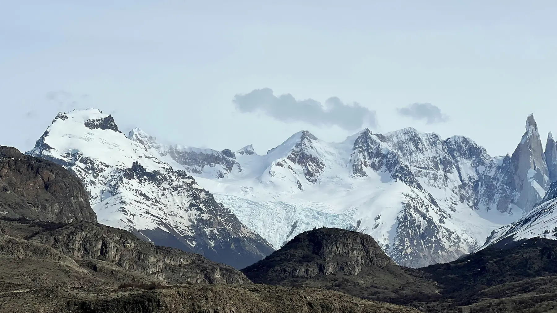
Route Map
Visualize the full 1,240km journey with paved sections and service hubs.
Read Guide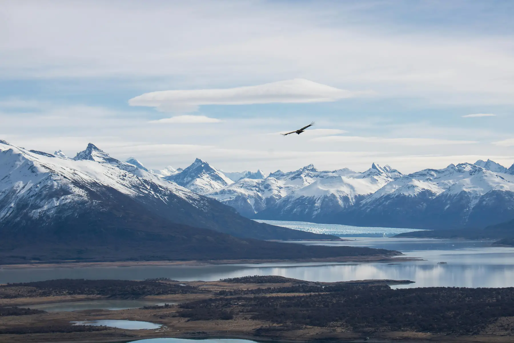
Dining & Food
Where to eat from Coyhaique to the remote southern villages.
Read GuideWhat is the Carretera Austral (Route 7)?
The Carretera Austral is Chile's ambitious effort to connect the isolated communities of northern Patagonia to the rest of the country. Construction began in 1976, carving a path through terrain so rugged it had previously only been accessible by sea or through Argentina. Today, it serves as the backbone for exploring northern Chile's destinations.
The route is more than just a road: it is a gateway to the Aysén region, a place defined by its verticality and its water. As you travel south, the landscape transitions from the dense, emerald Valdivian rainforests of the north to the stark, ice-scoured valleys of the south.
Driving the Carretera Austral: The 4x4 Reality
Driving Route 7 is a lesson in patience and mechanical awareness. While paving projects are ongoing, approximately 55% of the route is paved as of the 2026/27 season, with the majority of the southern half remaining "ripio" (loose gravel). This surface is notorious for destroying tires and sending stones flying into windshields.
A high-clearance vehicle is highly recommended, and a 4x4 or AWD is preferred for the added stability on loose corners and steep climbs. You must also be mindful of fuel — in the southern reaches, gas stations can be over 200 kilometers apart.
For more on vehicle selection and insurance requirements, consult our Patagonia car rental guide.
Top Destinations Along the Route
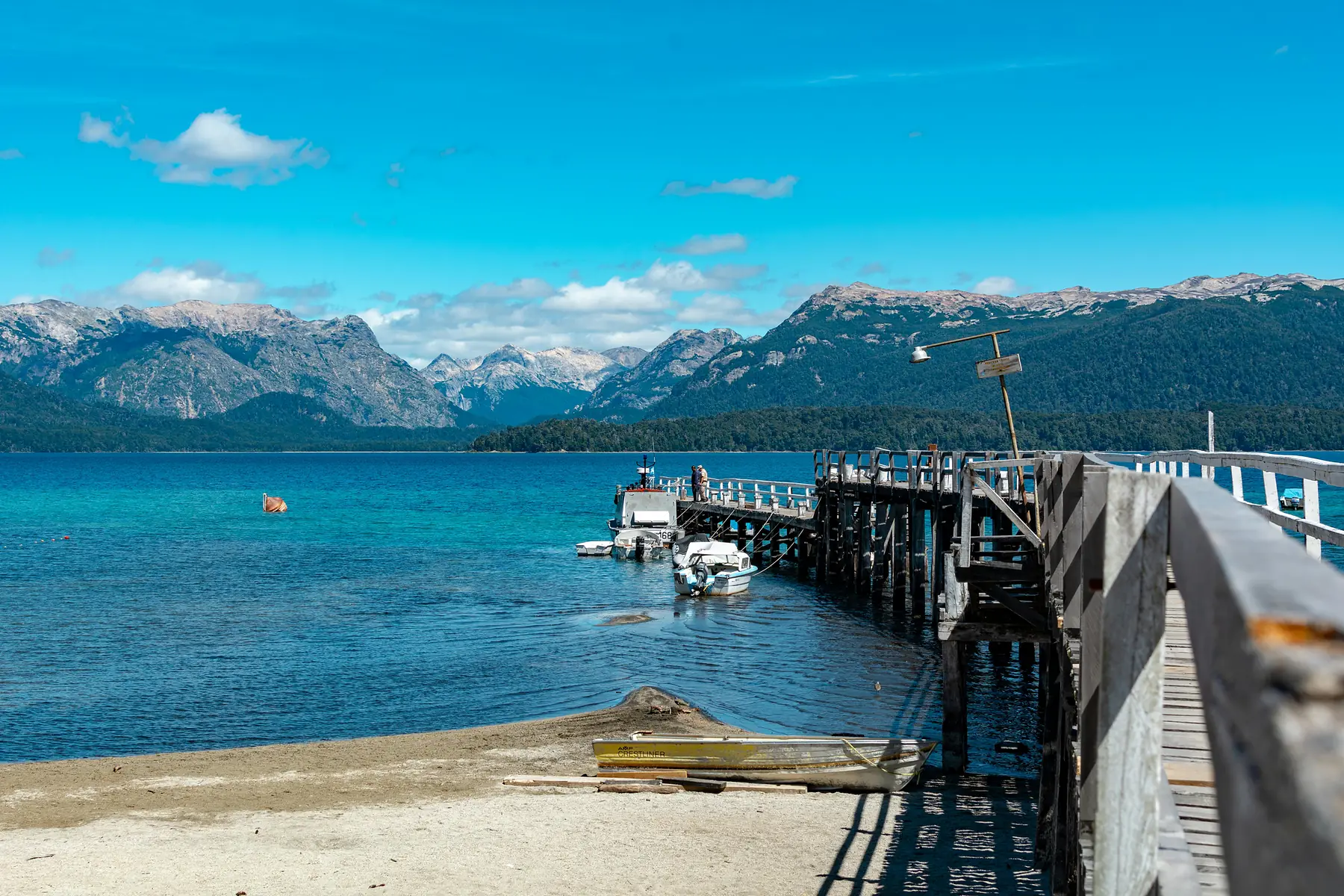
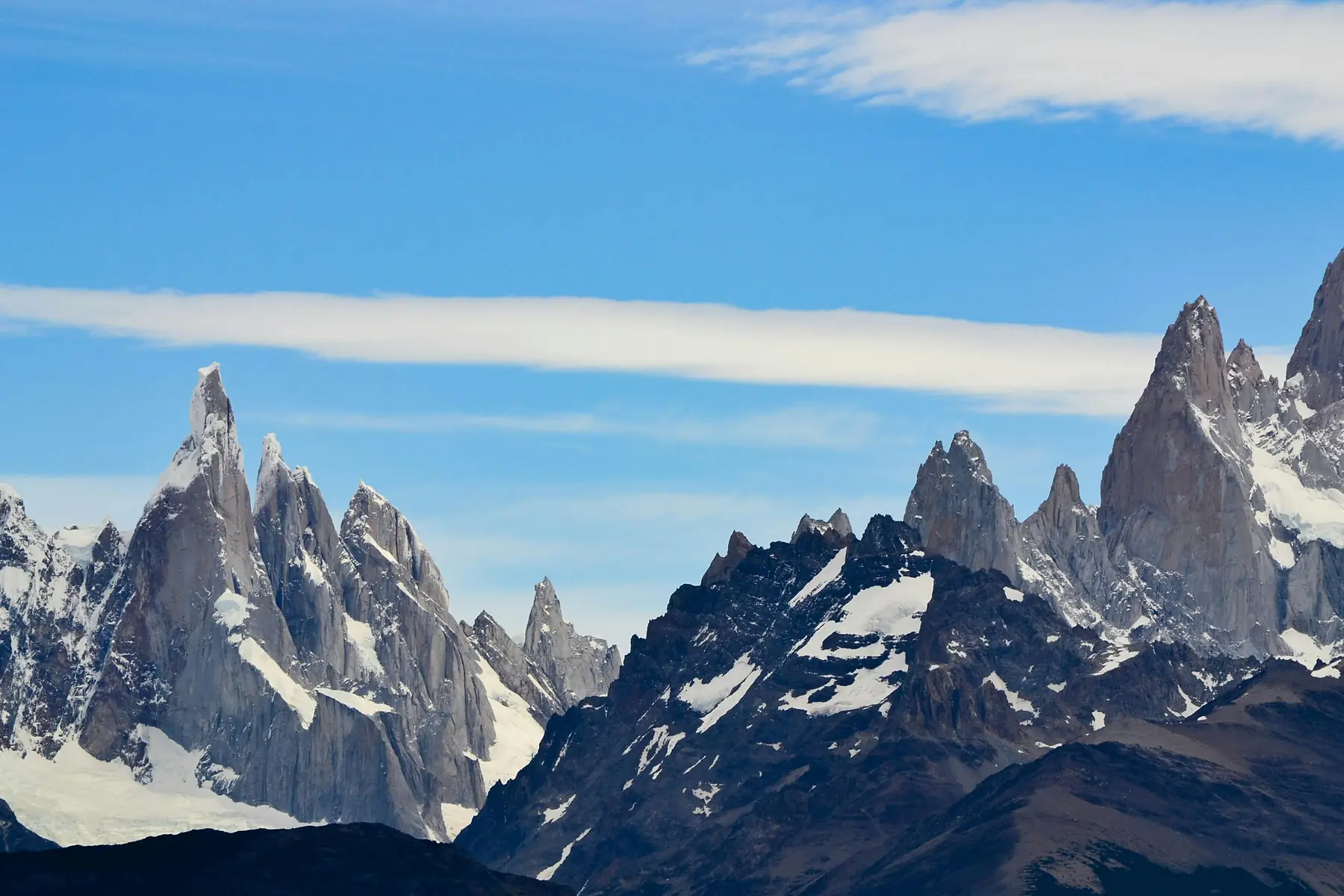
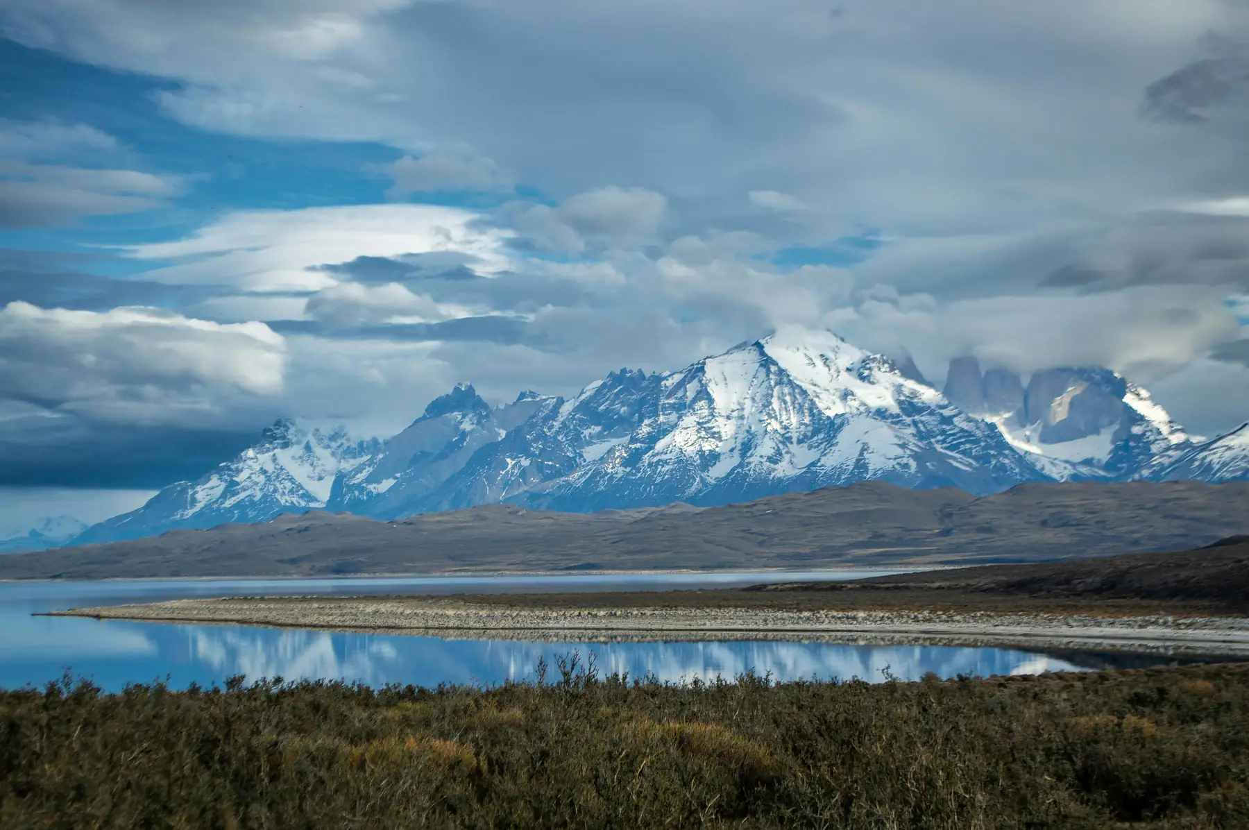
While the road itself is the attraction, several key hubs serve as bases for exploration. From world-class white-water rafting in the north to the wooden walkways of the fjord villages in the south.
National Parks & the Route of Parks
The Carretera Austral is the centerpiece of the "Ruta de los Parques," a conservation initiative linking 17 national parks across 2,800 kilometers of Chilean Patagonia. Key highlights include Pumalín Douglas Tompkins National Park and Queulat National Park, famous for its "Ventisquero Colgante" (Hanging Glacier).
Further south, Patagonia National Park offers vast grasslands home to guanacos, rheas, and the elusive puma. See our guide to things to do on Route 7.
The Essential Ferry Connections
The road is interrupted by Pacific fjords. The most critical bottleneck is the Hornopirén to Caleta Gonzalo crossing (3.5–4 hours), the only way to continue south toward Chaitén without driving through Argentina.
During peak summer (January–February), ferries book out months in advance. For schedules and booking links, see our ferry logistics guide.
Suggested Itineraries: How Many Days?
Because driving speeds on gravel are often limited to 40–60 km/h, distances on the map are deceptive. A 200km drive that would take two hours on a highway can easily take five or six hours on the Carretera Austral.
- 7 Days: Best for a "Highlights of the North" (Puerto Montt to Chaitén/Futaleufú) or "Highlights of the South" (Coyhaique to Puerto Río Tranquilo and back).
- 14 Days: The ideal timeframe for a one-way trip from Puerto Montt to Villa O'Higgins, allowing for hiking days in 3–4 national parks.
- 21+ Days: Necessary if you want to include long-distance treks, remote detours, or significant time in Futaleufú.
To find the right flow for your journey, browse our detailed route plans.
Frequently Asked Questions
How long does it take to drive the full Carretera Austral?
Driving the full 1,240km from Puerto Montt to Villa O'Higgins typically takes 10 to 14 days, allowing time for ferry crossings and hiking stops.
Do I need a 4x4 vehicle for the Carretera Austral?
While a 4x4 isn't strictly required for the paved northern sections, a high-clearance SUV is highly recommended for the unpaved gravel roads south of Cerro Castillo.
Is the Carretera Austral paved?
As of 2026/27, approximately 55% is paved, primarily from Puerto Montt to Villa Cerro Castillo. The southern half remains mostly gravel.
Are there petrol stations along the Carretera Austral?
Petrol stations are located in major hubs like Chaitén, Coyhaique, and Cochrane, but can be over 200km apart in the southern reaches. Always top up when you see a station.
Can I travel the Carretera Austral by bus?
Yes, though it requires patience and flexibility as services between smaller villages are infrequent and often seasonal. You'll need to piece together multiple local lines.
When is the best time to visit the Carretera Austral?
December through March for the warmest weather and most reliable ferry schedules. January and February are busiest and require advance booking.
Ready for the Road Trip?
Start planning your Carretera Austral adventure with our route guides.