
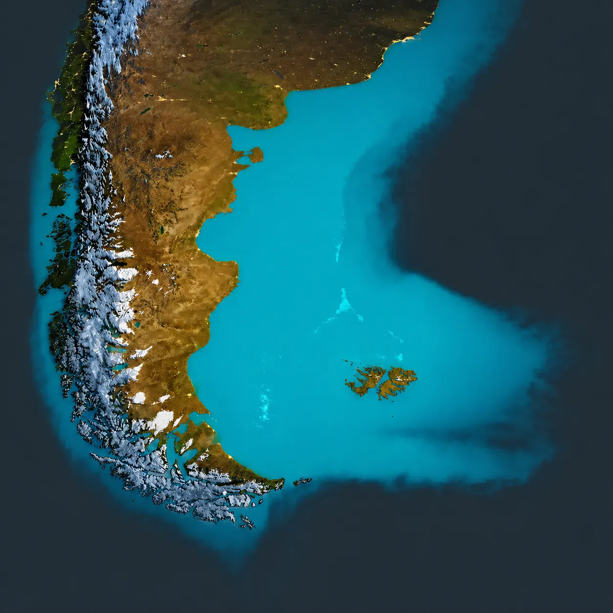
Patagonia Map
Navigate the regions, parks, and trails of Patagonia — your master planning tool.
Patagonia Map: Interactive Guide (2026)
Patagonia spans over 1,000 miles from the lush Lake District to the sub-antarctic islands of Tierra del Fuego at Cape Horn. It is a vast, cross-border territory that requires a clear mental map before you begin booking transport or accommodation.
This page serves as the master control for your trip planning. Because the region is divided by one of the world's most formidable mountain ranges, moving "across" the map often requires more time and logistics than moving "down" it.
Patagonia At A Glance
- Total Area Approximately 1.04 million square kilometers
- Nations Argentina (approx. 75%) and Chile (approx. 25%)
- Major Arteries Ruta 40 (Argentina) and Carretera Austral (Chile)
- Primary Hiking Hubs El Chaltén, Puerto Natales, Bariloche
- Travel Season October to April (Peak: December to February)
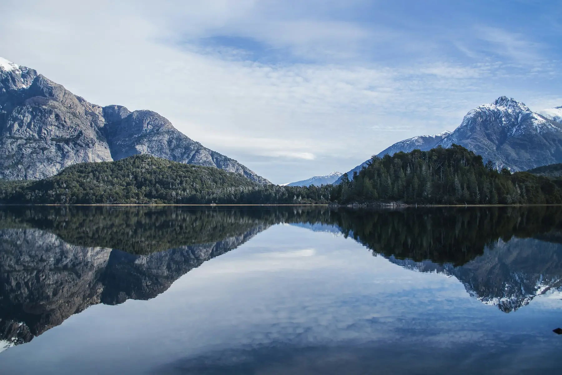
Northern: Lake District
Volcanoes, Seven Lakes, and the gateway to the Cruce Andino.
Read Guide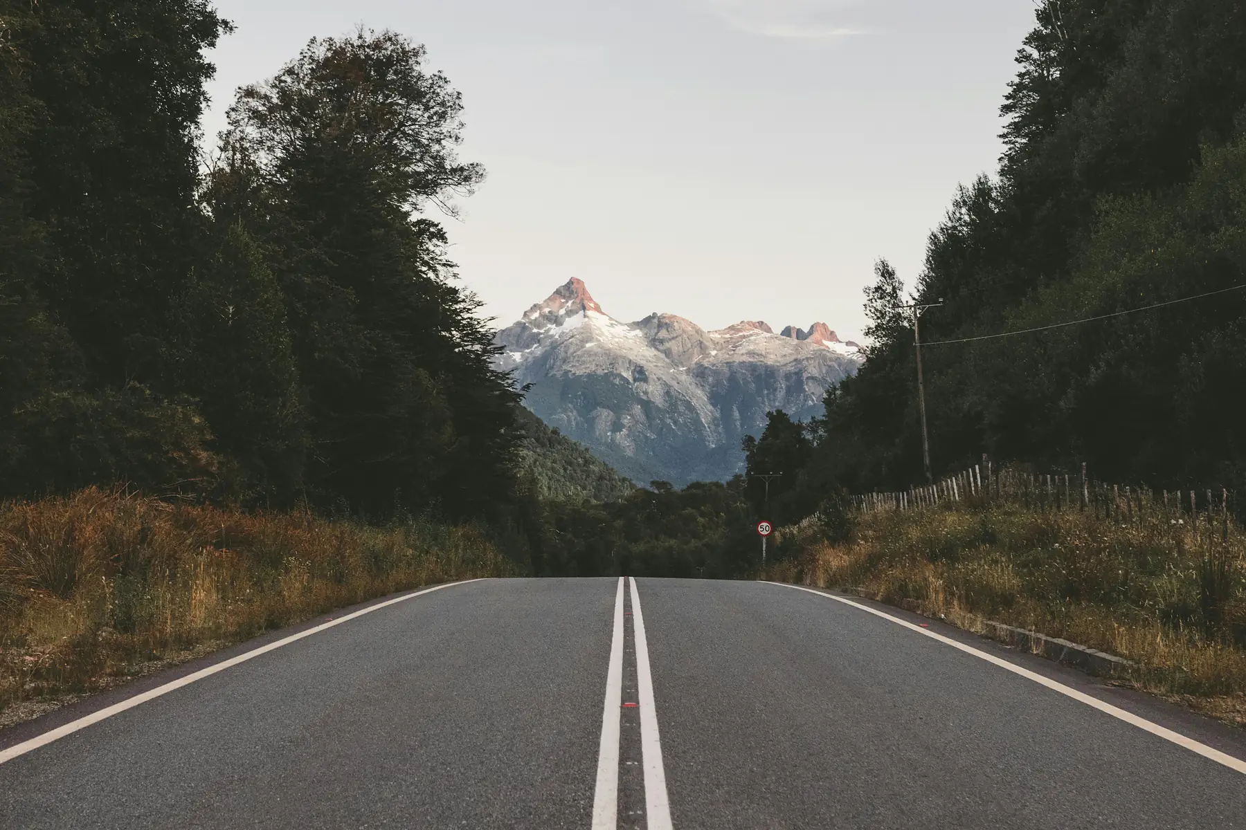
Central: Carretera Austral
The Marble Caves, hanging glaciers, and Chile's most remote highway.
Read Guide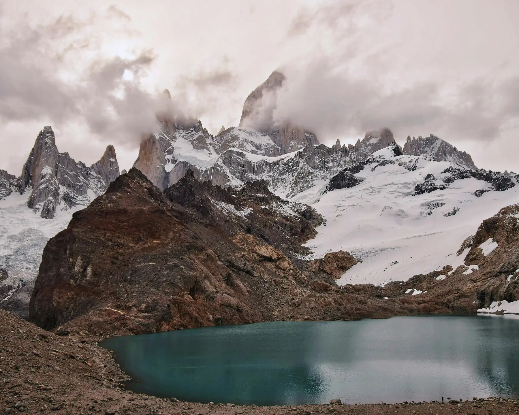
Southern: Hiking Heartland
Fitz Roy, Torres del Paine, and the glacier country of the south.
Read Guide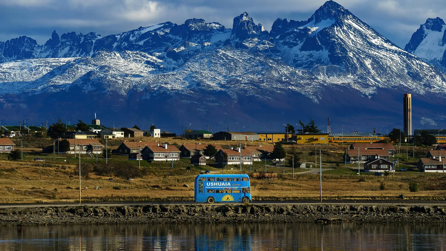
Tierra del Fuego
The End of the World — Ushuaia, the Beagle Channel, and Cape Horn.
Read Guide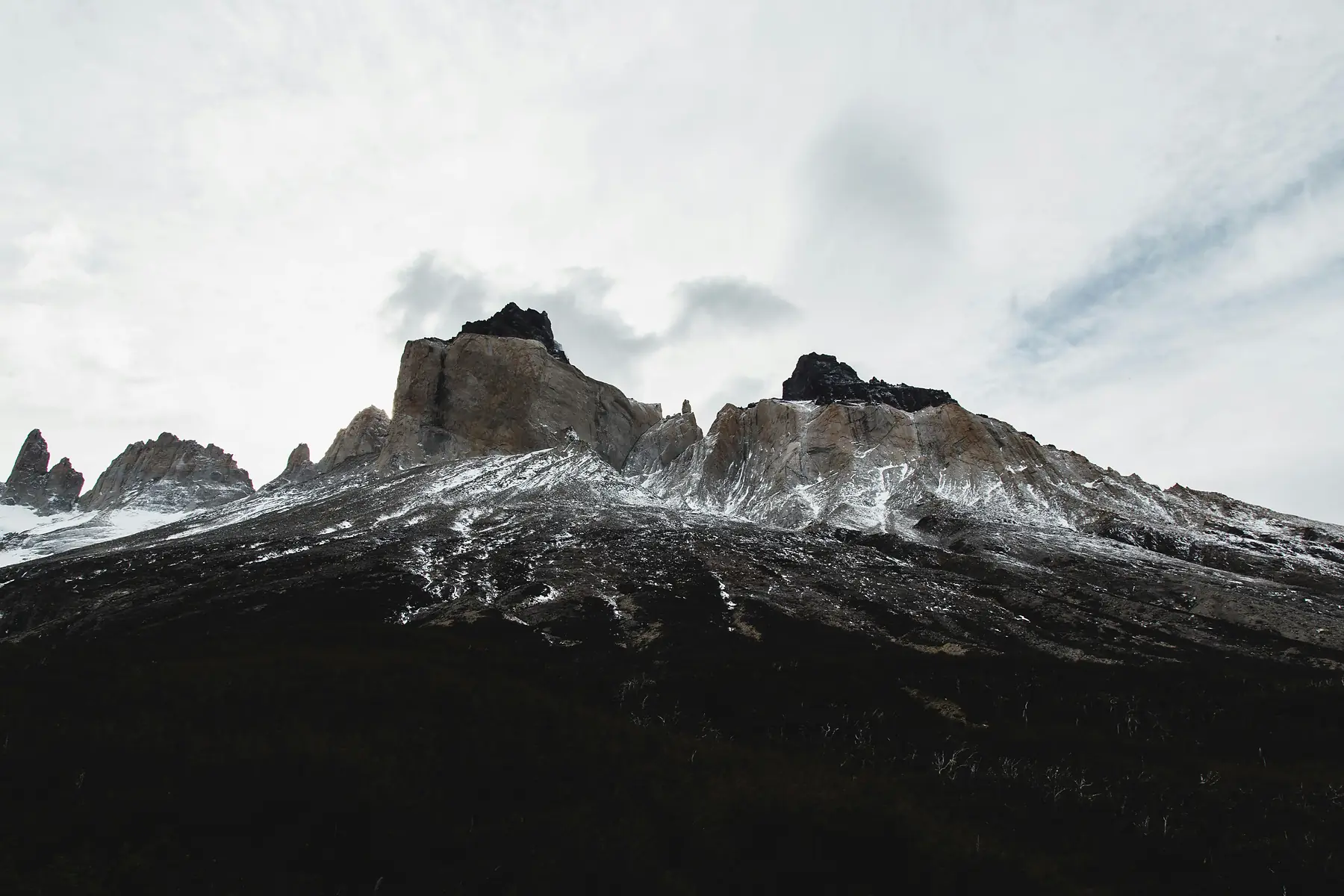
All Destinations
Complete directory of Patagonian towns, parks, and regions.
Browse All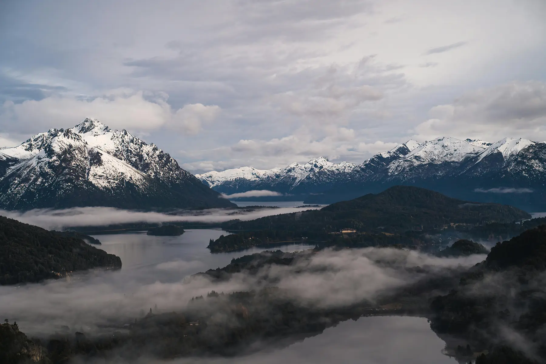
Itineraries
10-day, 14-day, and 21-day routes mapped across the region.
Browse RoutesUnderstanding Distances and Travel Times
The most common mistake when looking at a Patagonia map is underestimating the sheer scale. Patagonia is roughly 1.5 times the size of the United Kingdom or slightly larger than California, but possesses a fraction of the infrastructure.
Northern Patagonia: Lakes & Volcanoes
The northern sector is defined by its "Seven Lakes" circuit and a chain of snow-capped volcanoes. The primary hubs are Bariloche in Argentina and Puerto Varas in Chile. The Cruce Andino (Lakes Crossing) uses buses and catamarans to cross three distinct lakes between the two countries.
Central Patagonia: The Carretera Austral
The most remote section of the map, located almost entirely within Chilean Aysén. The Carretera Austral runs 1,240 kilometres from Puerto Montt to Villa O'Higgins. Your progress will be dictated by ferry schedules, and the road ends at the Southern Patagonian Ice Field.
Southern Patagonia: The Hiking Heartland
This is the most famous cluster on the Patagonia map — home to the Fitz Roy range and the granite towers of Torres del Paine. El Calafate serves as the regional hub: head north to El Chaltén for hiking, or south across the border to Torres del Paine.
Verdict
Visit El Chaltén for world-class day hiking; choose Torres del Paine for multi-day hut-to-hut trekking.
Tierra del Fuego: The End of the Map
At the bottom of the map lies the archipelago of Tierra del Fuego, separated from the mainland by the Strait of Magellan. The gateway cities are Ushuaia (Argentina) and Punta Arenas (Chile). To reach the island by vehicle, you must take a ferry across the Strait.
The Beagle Channel forms the southern boundary, serving as the departure point for expeditions to Antarctica.
Frequently Asked Questions
Where is Patagonia located on a world map?
Patagonia is located at the southern tip of South America, spanning the lower regions of both Chile and Argentina.
What are the major cities on a Patagonia map?
The primary hubs include Bariloche, El Calafate, and Ushuaia in Argentina, and Punta Arenas and Puerto Natales in Chile.
Does a Patagonia map include both Chile and Argentina?
Yes, Patagonia is a shared geographical region; the western side is Chilean (mostly fjords and mountains) and the eastern side is Argentine (mostly high-altitude steppe).
How far is Torres del Paine from El Calafate on the map?
These two spots are roughly 250 kilometers apart, requiring a 4.5 to 6-hour journey including a border crossing.
Are there airports marked on the Patagonia hiking map?
Key airports include Puerto Natales (PNT) and Punta Arenas (PUQ) for the W Trek, and El Calafate (FTE) for access to the Fitz Roy massif.
What is the best way to navigate the Carretera Austral on a map?
The Carretera Austral (Route 7) runs from Puerto Montt south through Aysén, often involving multiple ferry crossings to reach the end of the road.
Ready to Plan Your Route?
Use our itineraries to piece together the perfect trip across Patagonia.