
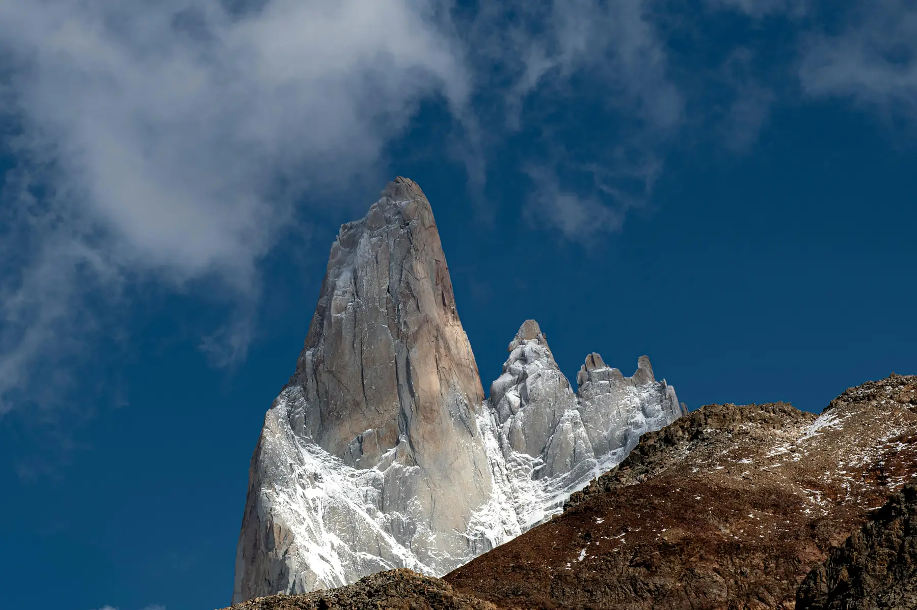
Laguna Torre Hike:
The Definitive Guide (2026/27 Season)
The most rewarding moderate trek in El Chaltén — a direct line of sight to the legendary granite needle of Cerro Torre without the grueling vertical climb.
Essential Trail Stats
To plan your day effectively, you need to understand that the Laguna Torre trail is a game of two halves. The first three kilometers contain almost all the elevation gain, while the remaining six kilometers to the lake are a gentle walk through glacial moraines and lenga forests.
The standard 18km round trip takes the average hiker roughly 6 hours. However, if you add the Mirador Maestri extension – which we highly recommend for fit hikers – the total distance increases to 22km and requires a full 8-hour day.
When comparing this to other best day hikes in Patagonia, Laguna Torre stands out for its efficiency. You spend less time on a steep incline and more time looking at the horizon.
Finding the Trailhead: Where to Start in El Chaltén
One of the most common points of confusion for first-time hikers in El Chaltén is the existence of two different trailheads for the same hike. Both are located on the western edge of town, and both are equally valid.
- The North Trailhead: Located at the end of Calle Los Charitos. This is the most convenient starting point if you are staying at hotels like Los Cerros or Chaltén Suites.
- The South Trailhead: Located near the entrance to the "Cascada Margarita" path, accessible from the end of Calle Comandante Arrua. This is closer to the southern end of town near the bus station.
For those with rental cars, parking is available near both trailheads, but fills up by 9:00 AM during the peak season (December – February). If you're staying in town, it is always faster to walk from your hotel than to find a parking spot. You can visualize these starting points on our El Chaltén trail map.
Step-by-Step Trail Guide: El Chaltén to the Lake
The trail is exceptionally well-maintained by the National Park service, with kilometer markers and clear signage at every junction.
The Initial Climb
The hike begins with a steady ascent out of the valley. Within the first 1.5km, you will reach the Cascada Margarita viewpoint. This is your first major landmark, offering a view of the Margarita waterfall across the canyon and the first distant glimpse of the Fitz Roy massif to the north.
Mirador del Torre
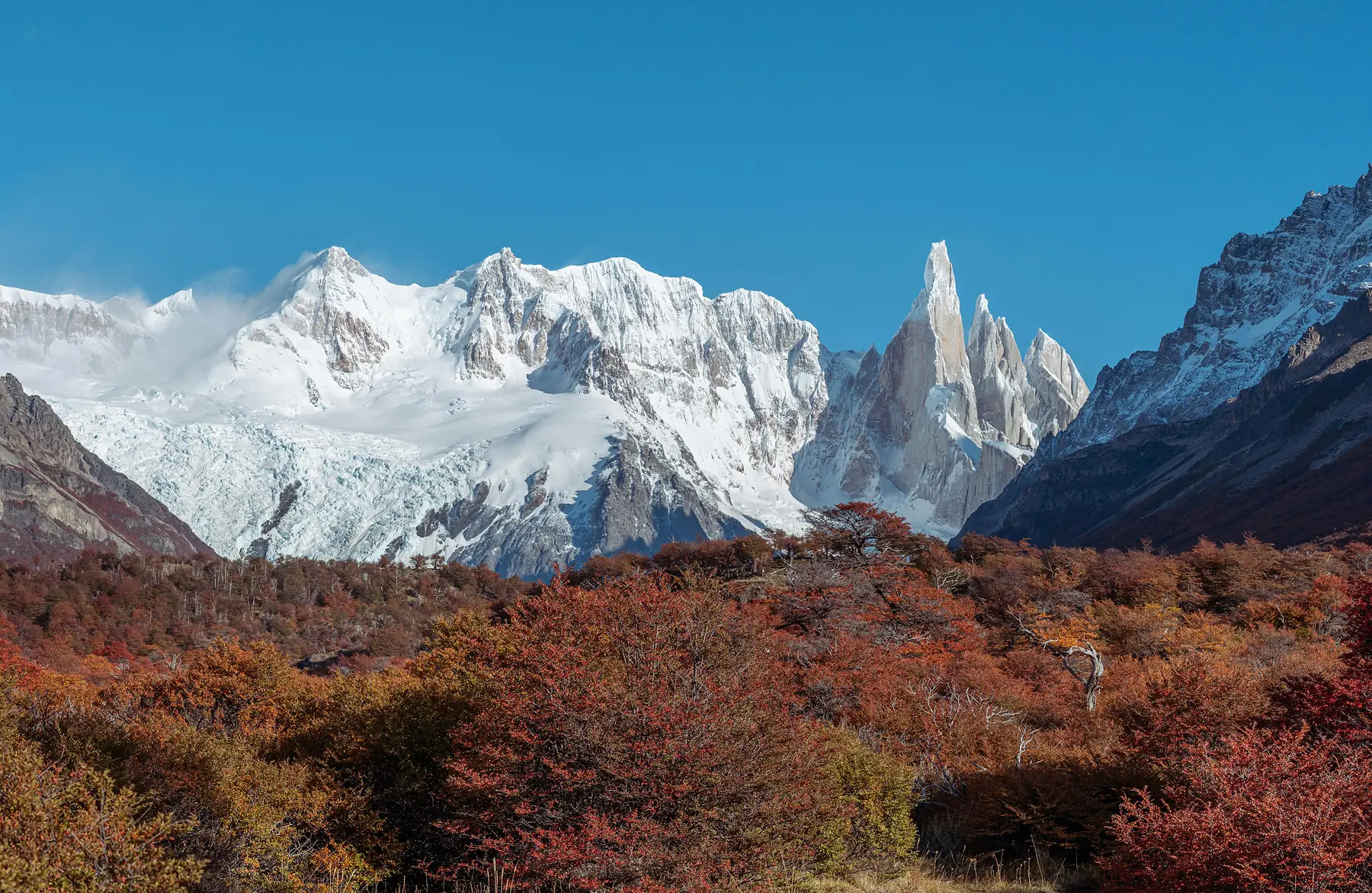
At the 2.5km mark, you reach the Mirador del Torre. This is the first "wow" moment of the trek. On a clear day, the entire Torre group – Cerro Torre, Torre Egger, and Standhardt – is visible across the valley. Many hikers who are short on time or energy use this as a turnaround point, but the best views are still ahead.
The Valley Walk
After the Mirador, the trail drops slightly and levels out. You will enter a dense forest of lenga (Antarctic beech) trees. Keep your ears open for the rhythmic drumming of the Magellanic Woodpecker; these large, red-headed birds are frequently seen in this section of the park. For more on what to look for, see our guide to Patagonia birds.
The Final Moraine
The final kilometer of the trail involves a short, rocky climb over the terminal moraine – a ridge of debris left behind by the receding glacier. As you crest this ridge, the landscape opens up to reveal Laguna Torre, often dotted with icebergs, with the 3,128m spire of Cerro Torre rising directly behind it.
Start Early
Begin your hike by 8:00 AM to reach the lake before the afternoon winds pick up and to secure a quiet spot on the shore.
The Moraine Crest
When you reach the lake, don't just stop at the first clearing. Walk along the rim of the moraine to the right for better angles of the icebergs.
Mirador Maestri: The "Extra Mile" Extension
If you reach the shore of Laguna Torre and still have energy, the hike to Mirador Maestri is the single best way to upgrade your experience. This extension adds approximately 2km (one way) along the northern ridge of the moraine.
The reward is a significantly closer view of the Glaciar Grande and a perspective that allows you to see the true verticality of Cerro Torre's granite walls. You are essentially walking along the "edge" of the glacier's path.

Laguna Torre vs. Laguna de los Tres: Which Should You Choose?
This is the most common dilemma for hikers with limited time in El Chaltén. While both are "must-do" trails, they offer very different experiences.
Verdict
Do Laguna Torre first to acclimatize your legs, then tackle Laguna de los Tres on your clearest weather day.
If you only have one day and your fitness is high, Laguna de los Tres is the more iconic Patagonia image. However, if you prefer a more contemplative, less crowded experience, Laguna Torre is often the favourite of seasoned trekkers.
Camping at Campamento De Agostini
For those who want to experience the "red glow" of sunrise on Cerro Torre, staying overnight at Campamento De Agostini is the only way to do it. The campsite is located in a protected forest clearing just 15 minutes from the lake shore.
The "Sunrise Strategy" involves waking up 45 minutes before dawn and walking the short distance to the lake. As the sun rises behind you, the granite face of Cerro Torre catches the light, turning a deep, fiery crimson.
For full details on gear rental in town and park-wide camping regulations, consult our El Chaltén camping guide.
Weather & Safety: Surviving the Fitz Roy Wind Tunnel
The Fitz Roy River valley acts as a natural wind tunnel, creating a "Venturi effect" where wind from the Southern Patagonian Ice Field is compressed and accelerated as it moves toward town. Even on a seemingly calm day in El Chaltén, the winds at the lake can be double the speed.
We recommend using Windguru and looking specifically for the "El Chaltén" station. Pay attention to the "Gusta" (gust) forecast rather than the sustained wind speed.
As for water, the streams in this valley are generally safe to drink, but as the park becomes more popular, we recommend using a basic filter or purification tablets, especially if collecting water near the De Agostini campsite. For broader climate context, check our El Chaltén weather guide.
What to Pack for the Laguna Torre Trail
Because this is a long day hike in a high-wind zone, your gear needs to be versatile. You do not need heavy mountaineering boots for the standard trail – high-quality trail runners are often more comfortable for the 18km of flat terrain – but you do need layers.
- The 4-Layer System: A moisture-wicking base layer, a fleece or mid-layer, a down "puffy" jacket for when you stop at the lake, and a waterproof/windproof shell.
- Trekking Poles: Not strictly necessary for the main trail, but highly recommended if you plan to hike the loose, shifting rock of the Mirador Maestri extension.
- Nutrition: There are no services, refugios, or kiosks anywhere on the trail. Buy your "vianda" (packed lunch) at a bakery in El Chaltén the night before.
- Sun Protection: Even on cold days, the Patagonian sun is intense. Bring high-SPF sunscreen and a hat that won't blow off in a 70 km/h gust.
For a deeper dive into specific brands and fabric choices, see our complete Patagonia packing checklist.
Explore the Best Hikes in El Chaltén
Plan your full itinerary with our complete trail guides and day-by-day planning tools.
Frequently Asked Questions
How long is the Laguna Torre hike from El Chaltén?
The standard out-and-back hike to Laguna Torre is approximately 18 kilometers (11.2 miles) and takes most hikers between 6 and 8 hours. If you add the Mirador Maestri extension, the total distance is 22 kilometers.
Is the Laguna Torre hike difficult for beginners?
Laguna Torre is considered a moderate hike because it is mostly flat once you pass the initial 3-kilometer climb, making it much easier than the Laguna de los Tres trek. Beginners with a basic level of fitness can complete it comfortably in a full day.
Can you see Cerro Torre from the Laguna Torre trail?
Yes, you get your first clear view of Cerro Torre at the Mirador del Torre viewpoint (2.5km in), and the view becomes more dramatic as you approach the lake. On clear days, the spire is visible for the majority of the hike.
Do I need a guide for the Laguna Torre trek in El Chaltén?
No, the trail to Laguna Torre is very well-marked and easy to follow, making it perfectly safe for solo hikers during the summer season. The path is a clear "highway" of dirt and rock with frequent signage.
Is there drinking water available on the Laguna Torre hike?
You can refill water bottles from the Fitz Roy River or streams along the trail, but many hikers prefer to use a filter or purification tablets for safety, especially near high-traffic areas like the campsite.
What is the best time of day to start the Laguna Torre hike?
Starting by 8:00 AM is recommended to avoid the largest crowds, though photographers often start in the dark (around 4:00 AM or 5:00 AM) to reach the lake for the spectacular sunrise glow on the peaks.