
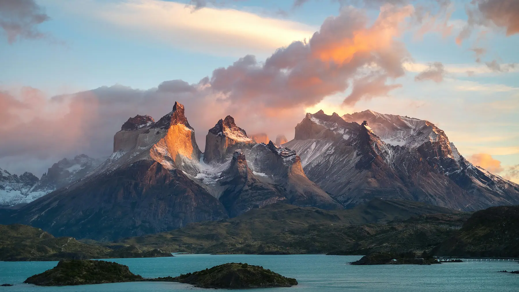
The W Trek
Patagonia's most iconic 4–5 day route — granite towers, hanging glaciers, and Grey Glacier.
W Trek: The Ultimate 2026 Planning Guide
The W Trek is the most iconic multi-day hiking route in Patagonia, winding through the granite spires and glacial valleys of Torres del Paine National Park. For most travellers, this four-to-five-day journey is the primary reason for visiting southern Chile.
The W Trek is not a wilderness expedition you can simply show up for; it requires navigating a complex system of permits, transport, and accommodation managed by multiple private companies. This page serves as your central directory for the 2026/27 season.
W Trek At A Glance
- Total Distance Approximately 75–80 km (46–50 miles)
- Duration 4–5 days
- Difficulty Moderate
- Highest Point Base of the Towers (approx. 875m / 2,870ft)
- Gateway Town Puerto Natales, Chile
- Booking Window 6+ months in advance
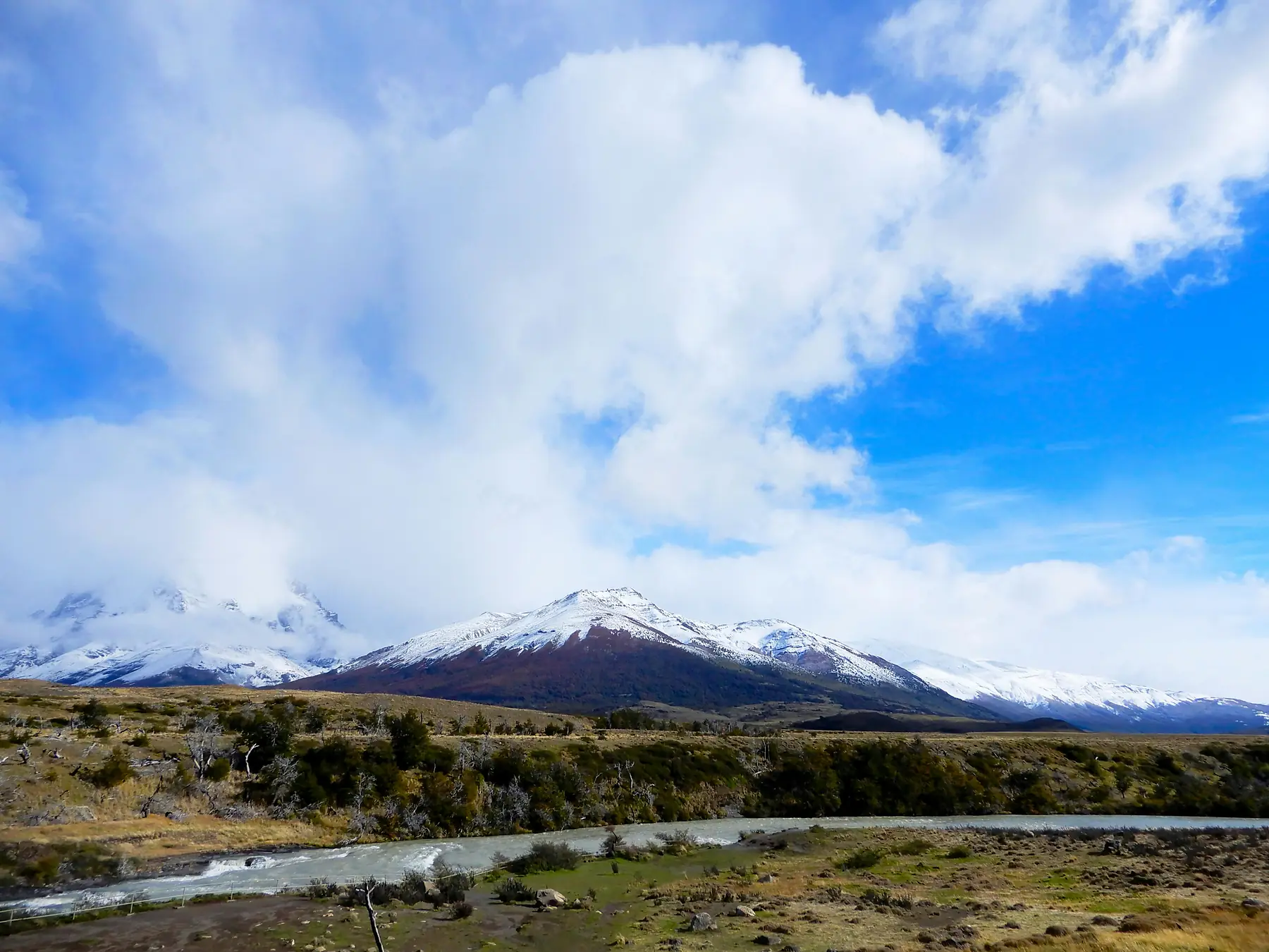
Daily Itineraries
Day-by-day breakdowns for 4-day and 5-day routes, East to West.
Read Guide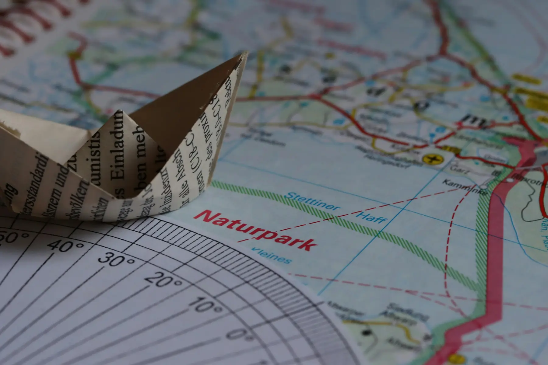
Booking Guide
Step-by-step walkthrough of the Las Torres and Vertice portals.
Read Guide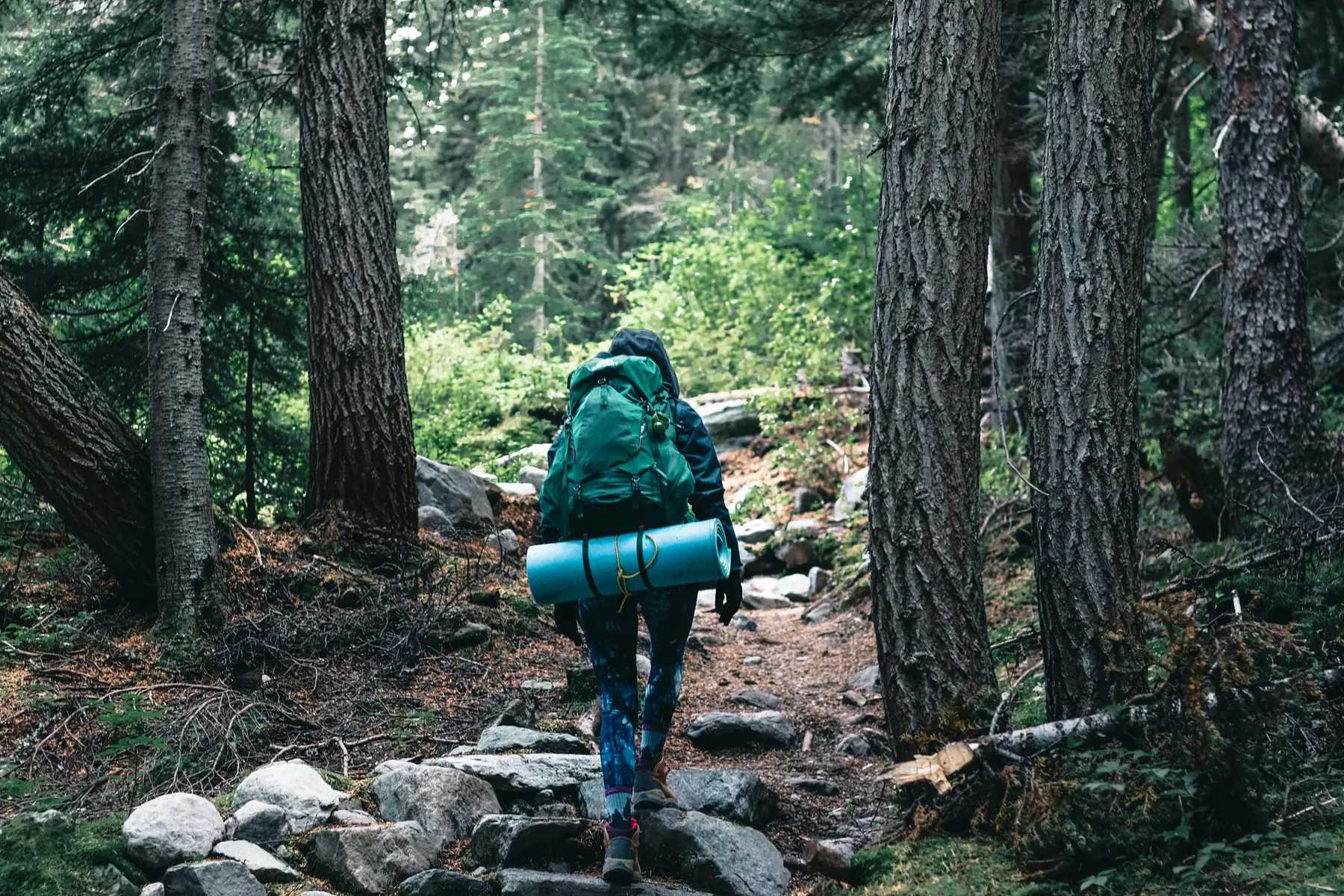
Packing List
Exactly what to carry for Patagonia's four-seasons-in-a-day weather.
Read Guide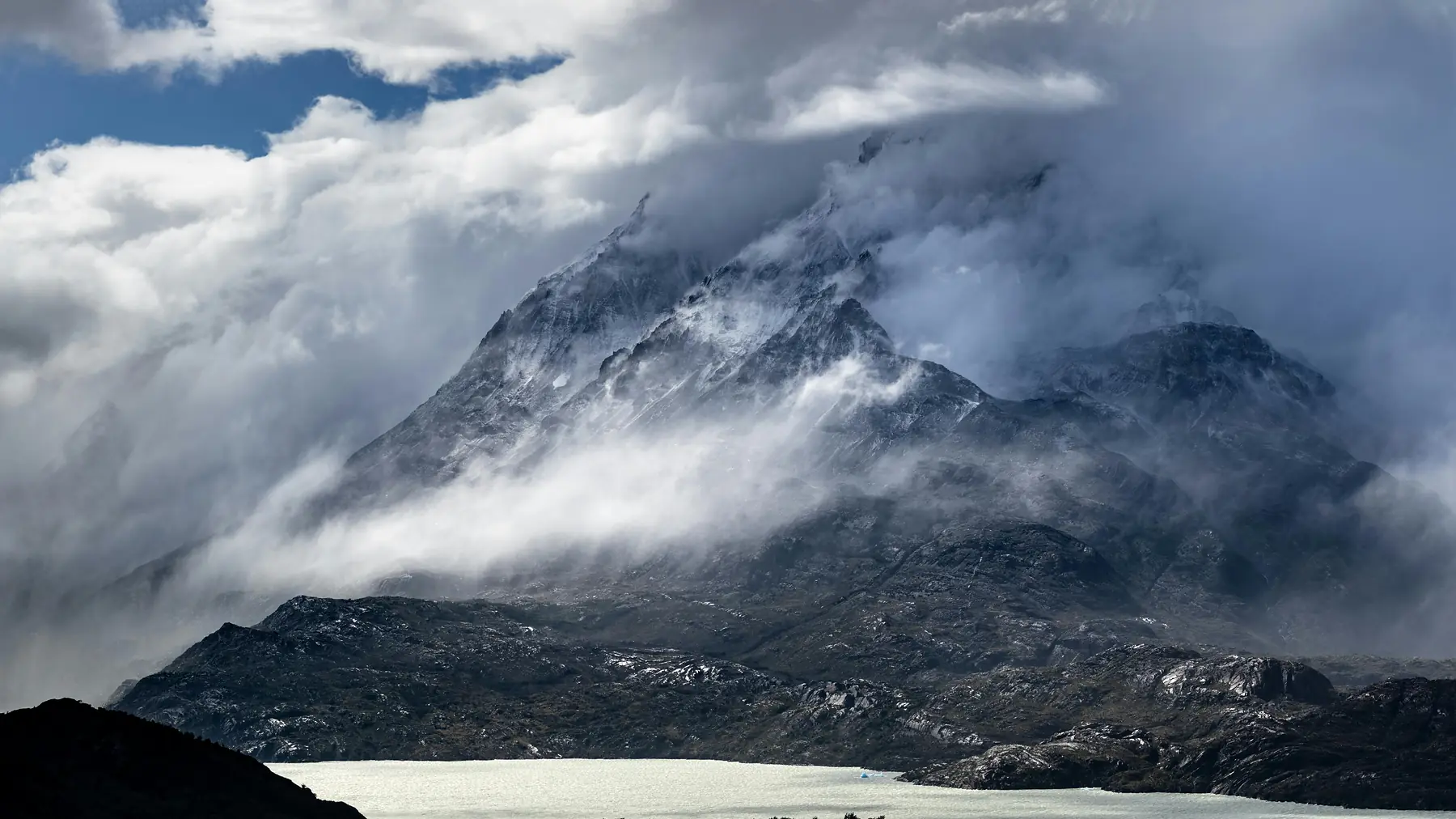
Best Time to Hike
Month-by-month trail conditions and campsite availability.
Read Guide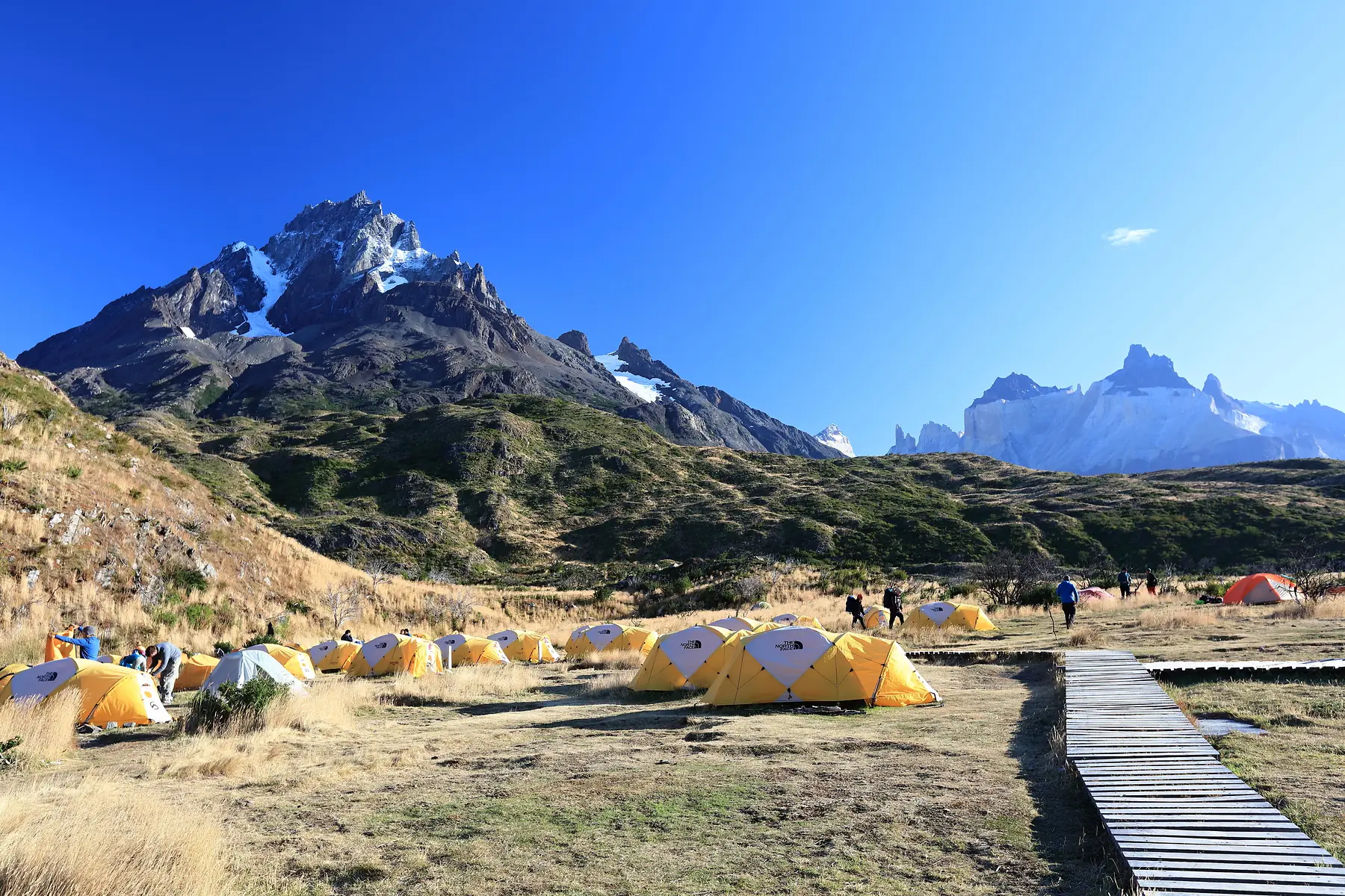
Refugios vs. Camping
Side-by-side costs and facilities for both accommodation styles.
Read Comparison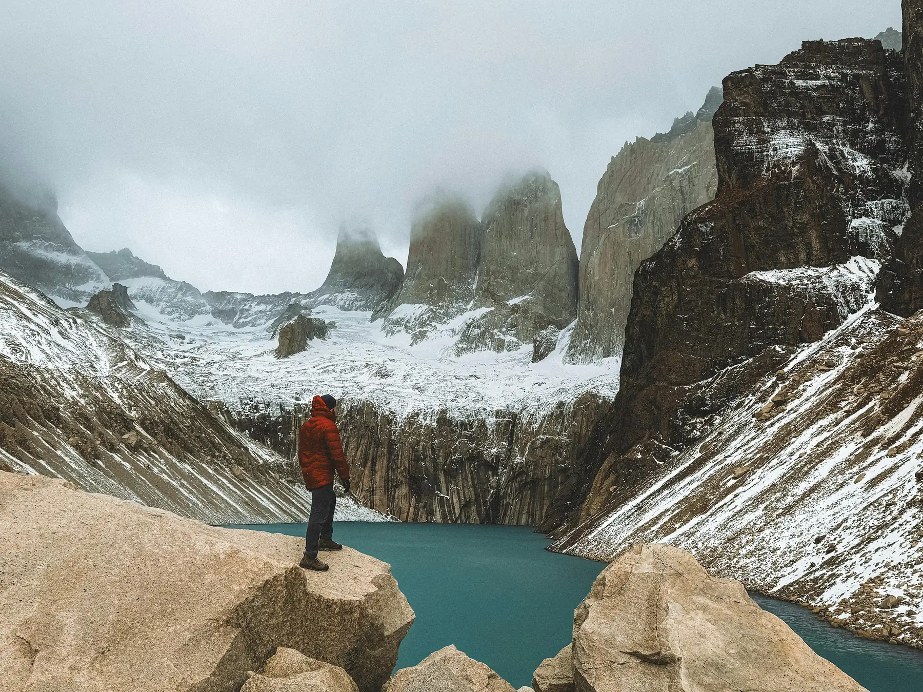
W vs. O Circuit
Should you do 5 days or go for the full 8–10 day loop?
Read ComparisonWhat is the W Trek?
The W Trek earns its name from the shape the route carves through the mountains, tracing three distinct vertical fingers: the Ascencio Valley to the Base of the Towers, the French Valley, and the trail alongside Grey Glacier. It is a "greatest hits" route without the 8–10 day commitment of the full O Circuit.
The journey begins in Puerto Natales. From here, hikers take a bus to the park entrance. The infrastructure is world-class, featuring refugios and serviced campsites that allow you to hike without carrying a week's worth of food.
Is the W Trek Worth It?
During peak months the trails are busy and refugios are full. However, the infrastructure is precisely what makes the experience unique: there are few places on Earth where you can hike through such raw, glaciated terrain and end your day with a hot shower and a glass of Chilean wine.
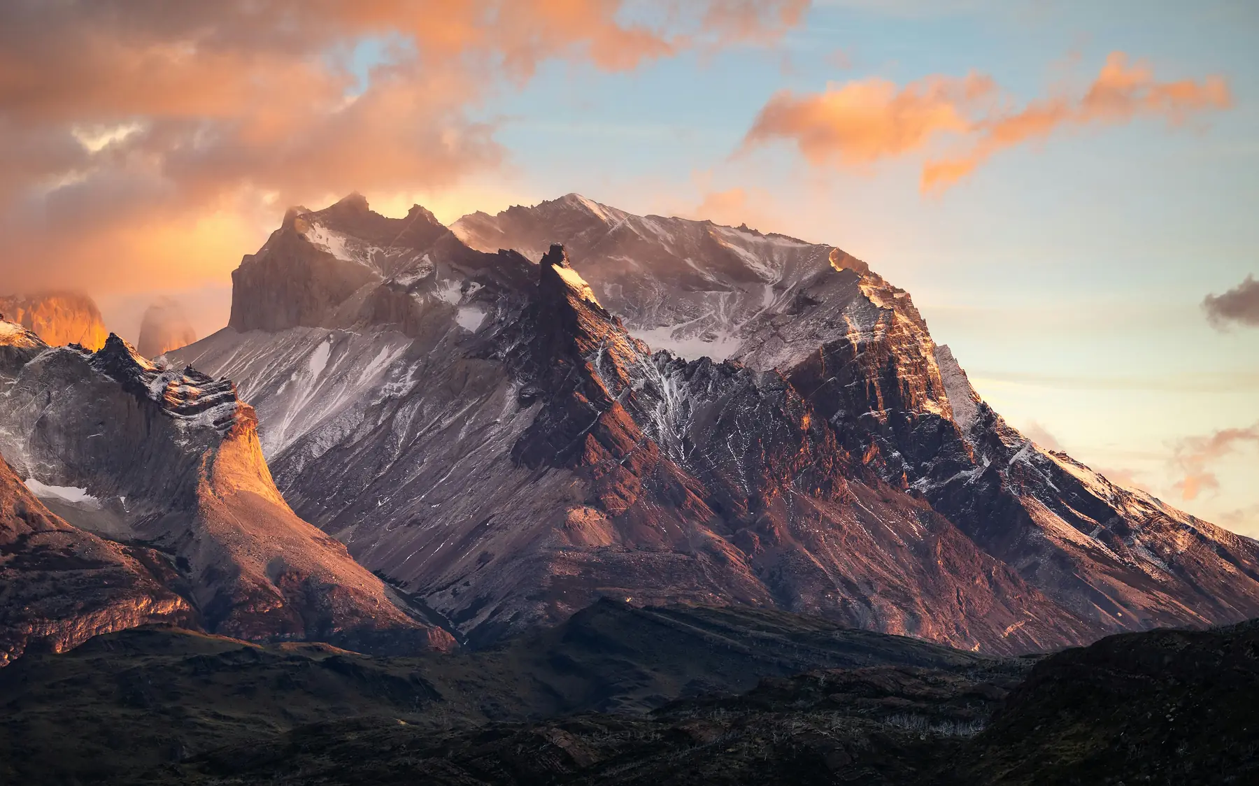
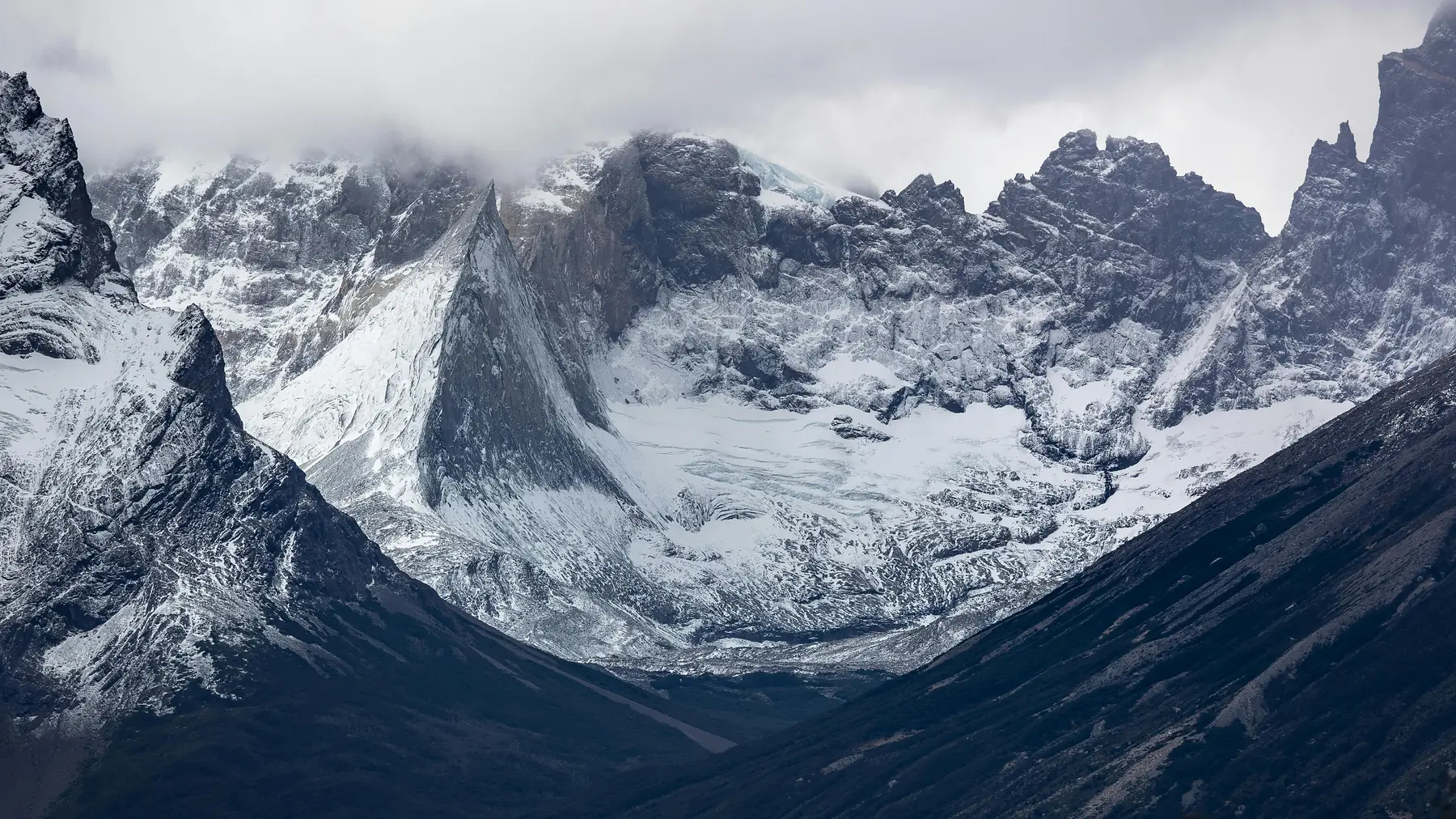
The "big three" views — the granite towers reflecting in a glacial tarn, the hanging glaciers of the French Valley, and the massive ice wall of Grey Glacier — are legitimately world-class.
East to West vs. West to East
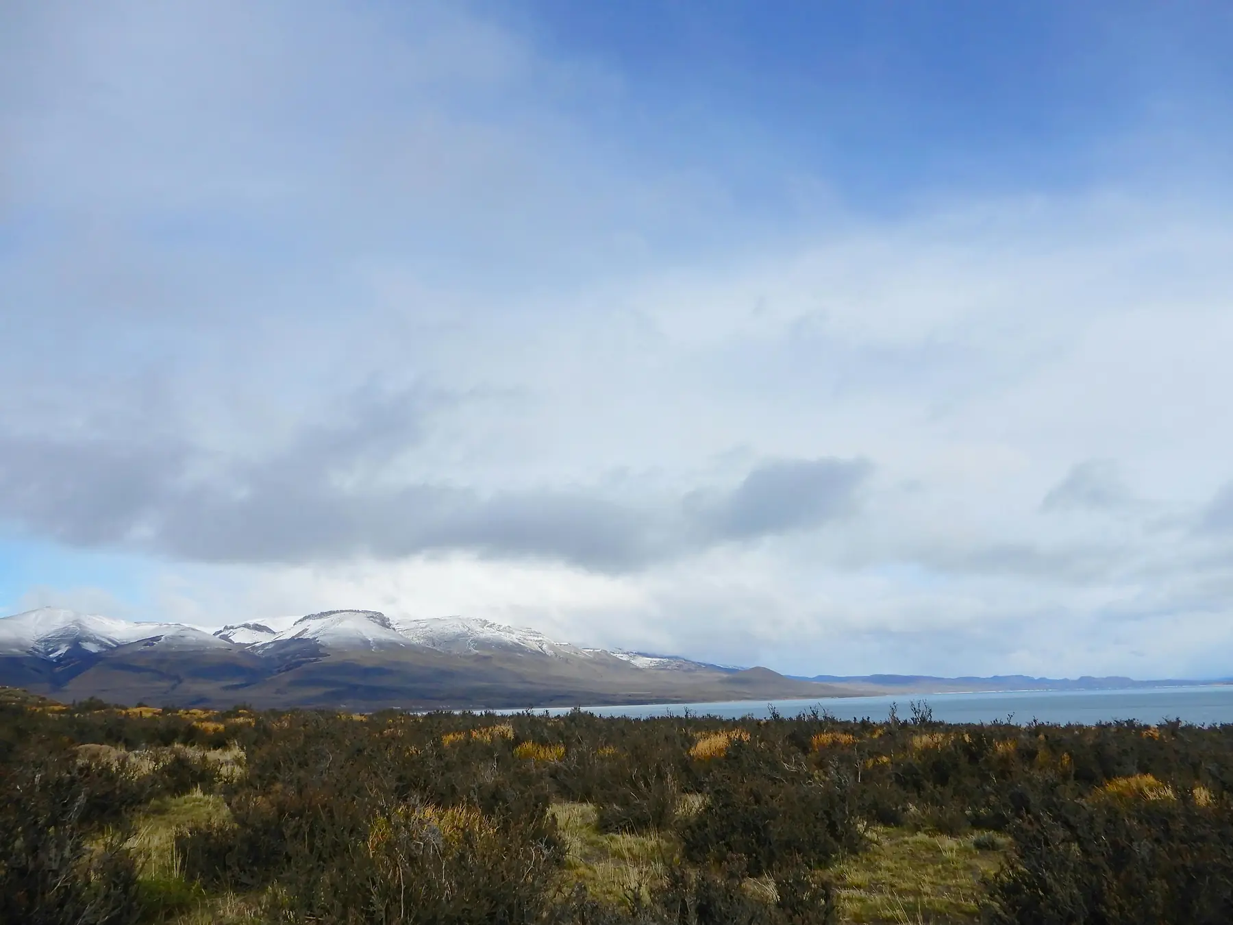
East to West is most popular — it tackles the steep climb to the Towers on day one while legs are fresh. West to East saves the Towers for the grand finale. Both rely on park shuttles and the Pudeto catamaran. See our itinerary guide for both options.
Accommodation: Refugios vs. Camping
You cannot wild camp — designated sites are managed by Las Torres and Vertice Patagonia. Refugios offer shared dorms with communal dining. Camping is more budget-friendly, with "pre-set" tent options available.
Booking the W Trek: The 6-Month Rule
Booking is the most difficult part. Because campsites are split between different companies, you must coordinate dates across multiple reservation portals. For 2026/27, booking windows are expected to open in May or June 2026.
Navigate the process with our step-by-step booking guide.
W Trek vs. O Circuit
Verdict
Choose the W Trek for limited time or refugio comfort. Choose the O Circuit to escape crowds and for the John Gardner Pass.
Difficulty and Training
The W Trek is classified as moderate — four to five consecutive days of walking 15–22 kilometres with a pack. The most demanding section is the "Big Climb" to the Base of the Towers: an 800-metre elevation gain over steep glacial moraine.
Patagonian weather acts as a "difficulty multiplier" — sustained winds of 70 km/h can make an otherwise flat trail feel exhausting. Prepare with our difficulty assessment.
W Trek Map
The interactive map below shows the key refugios, campsites, and viewpoints along the W Trek route. Use it to get a sense of how the trail connects from Las Torres in the east to Glaciar Grey in the west. For actual on-trail navigation, download the trail to MAPS.ME or AllTrails before you leave Puerto Natales — cell signal inside the park is nonexistent.
For a detailed breakdown of each section, see our full W Trek Map & Trail Guide.
Frequently Asked Questions
How long is the W Trek in Torres del Paine?
The W Trek is approximately 75–80 kilometers (46–50 miles) long and typically takes 4 to 5 days to complete.
Can I hike the W Trek without a guide?
Yes, the W Trek is well-marked and safe for self-guided hikers during the main season (October to April), though a guide is mandatory for winter treks.
When should I book the W Trek for the 2026 season?
You should aim to book accommodation at least 6 months in advance. Booking portals are expected to open in May or June 2026.
What is the closest town to the W Trek trailhead?
Puerto Natales is the gateway town, located about two hours by bus from the Torres del Paine park entrance.
Is the water on the W Trek safe to drink?
Yes, stream water along the W Trek is generally safe, though using a filter is increasingly recommended near high-traffic campsites.
How difficult is the W Trek for beginners?
The W Trek is moderately difficult; it involves long hiking days and one steep 800-meter ascent to the Towers, but does not require technical climbing.
Ready to Plan Your W Trek?
Start with the booking guide to secure your spot for the 2026/27 season.